Happy Trails 2015


The hiking season has wound down, so there are no more adventures to document until the fall.

In “packing up” I selected a few last images from this spring which didn’t rate a “story” but which I wanted to put here for viewing.


Ocotillo bloom at Meridian trailhead

Ocotillo bloom at Meridian trailhead

Chuparosa and brittlebush on Jacobs crosscut trail

Chuparosa and brittlebush on Jacobs crosscut trail


Ponderosa forest in Sierra Ancha mountains near Reynold Creek trailhead

Ponderosa forest in Sierra Ancha mountains near Reynold Creek trailhead

Globe mallow and brittlebush on Jacobs crosscut trail

Globe mallow and brittlebush on Jacobs crosscut trail

Red rock along AZ288 to Young

Red rock along AZ288 to Young


A peek at Roosevelt Lake from Globe-Young highway

A peek at Roosevelt Lake from Globe-Young highway

Sunset from Lost Dutchman park.

Sunset from Lost Dutchman park

Happy Trails to all of you.  See you next season.

Happy Trails to all of you. See you next season.

Have a great summer.


Posted in Arizona hiking | 3 Comments

Plan B — Deer Creek Trail


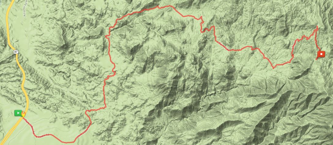
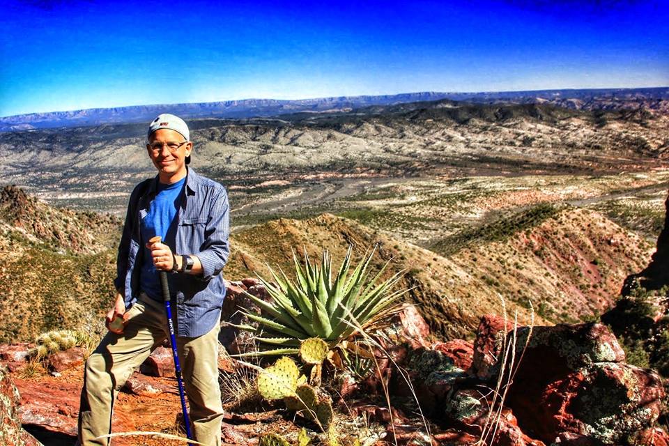
At our weekly planning meeting on Monday, George kindly voluntold me to lead a hike that I’d suggested a couple of times before.  Our Friday hike was going to be the “Little Saddle Mountain” trail from Mormon Grove TH downhill to the Cross-F TH.  A nice 5-6 mile route through a deep narrow canyon at high (cool) altitude.  Perfect escape from the heat of the valley!

Mother nature didn’t cooperate.

Tuesday it rained a little.  Wednesday it rained a quite a bit.  Thursday, more rain.

This raised a killer barrier to the planned hike — the road to Mormon Grove trailhead is a steep/twisty/narrow affair, interesting and very pretty when dry, but which no sane person would drive when you add “slippery/muddy” to “steep/twisty/narrow”.

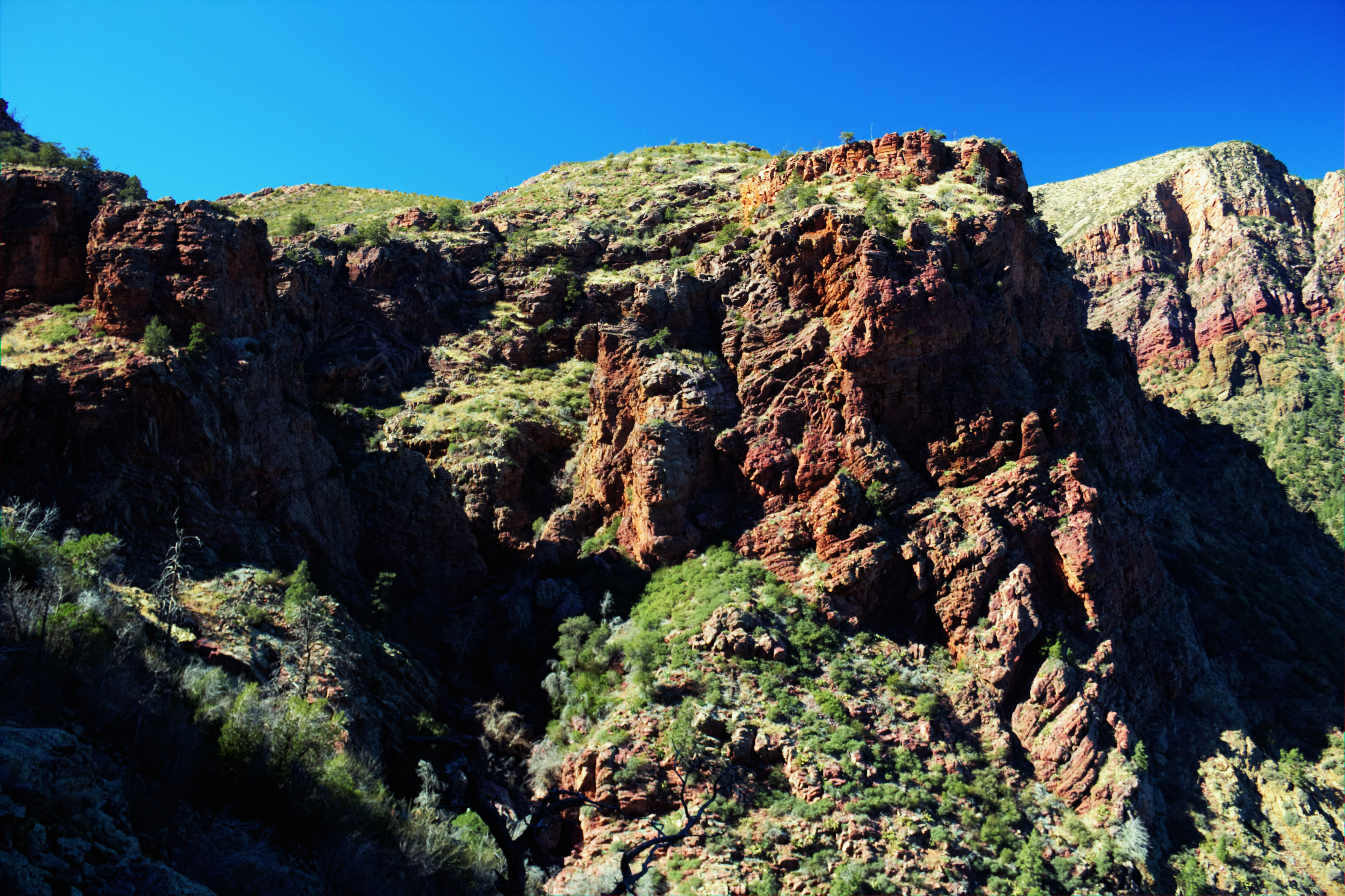
So so the quick-witted fearless hike leader (that would be me) fumbled through old mental notes for a good substitute, above the valley heat, not too strenuous, with trailhead access on a good road, and maybe with a babbling mountain brook thrown in to refresh our heat-dried spirits.

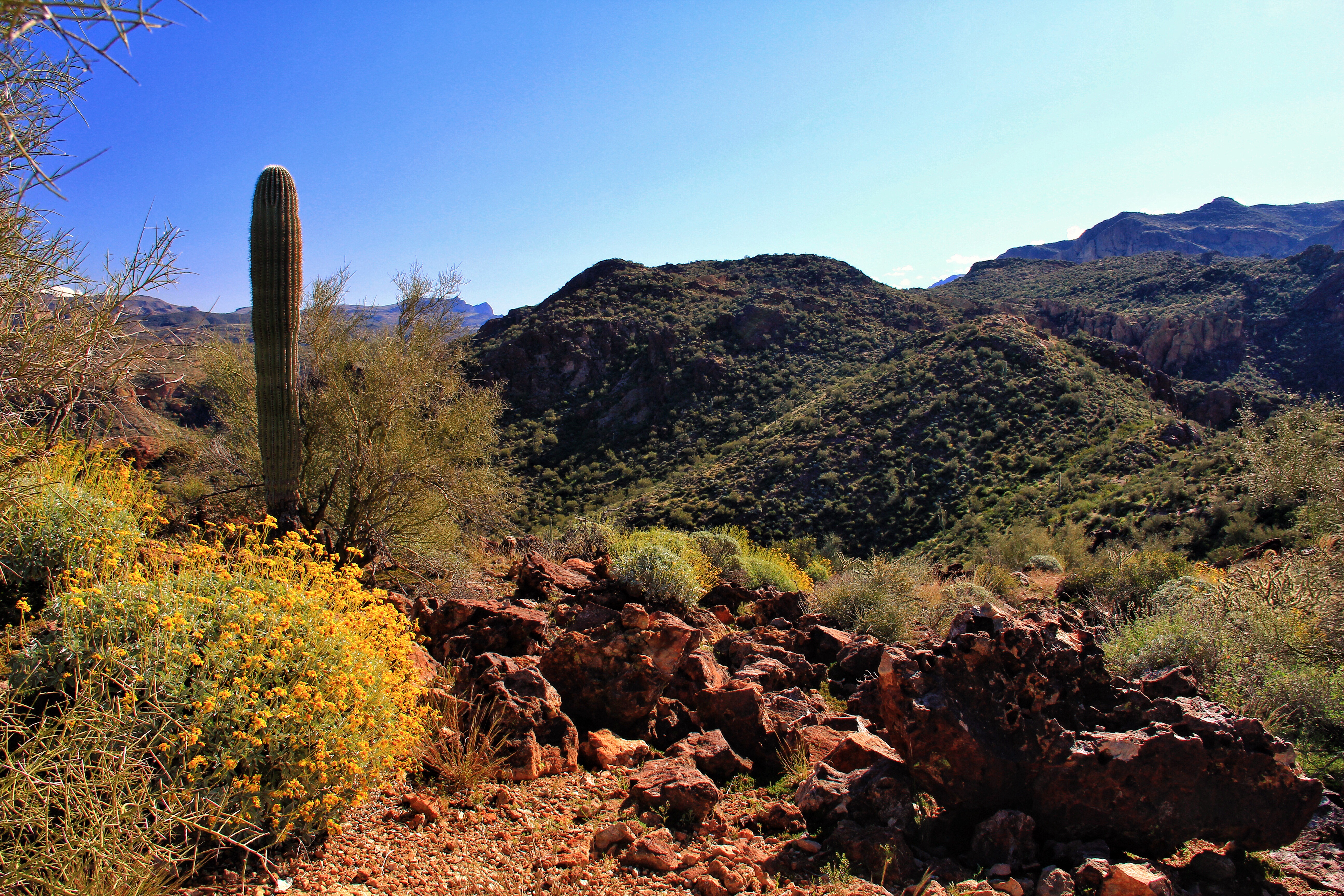
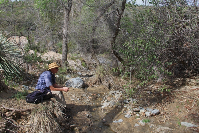
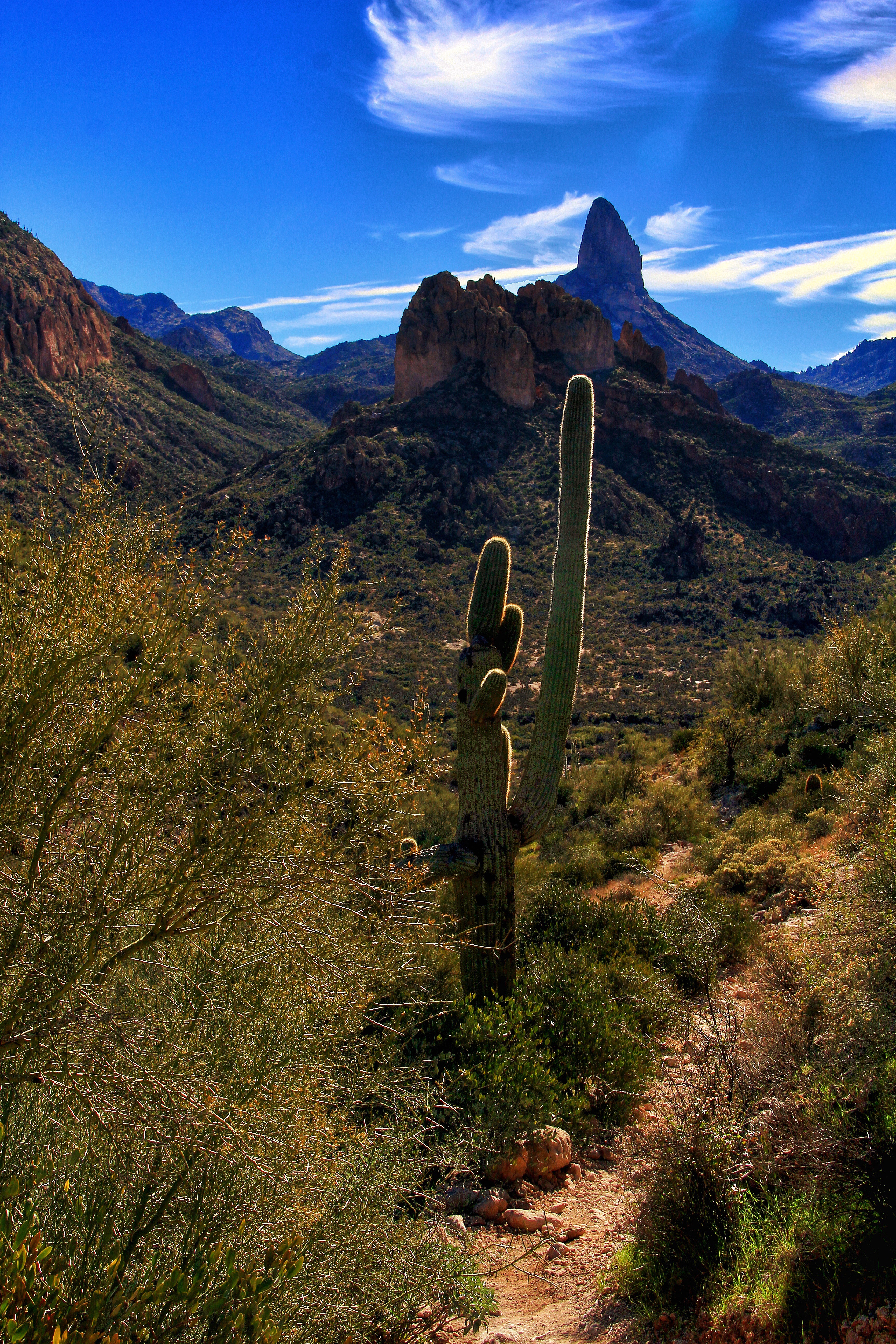
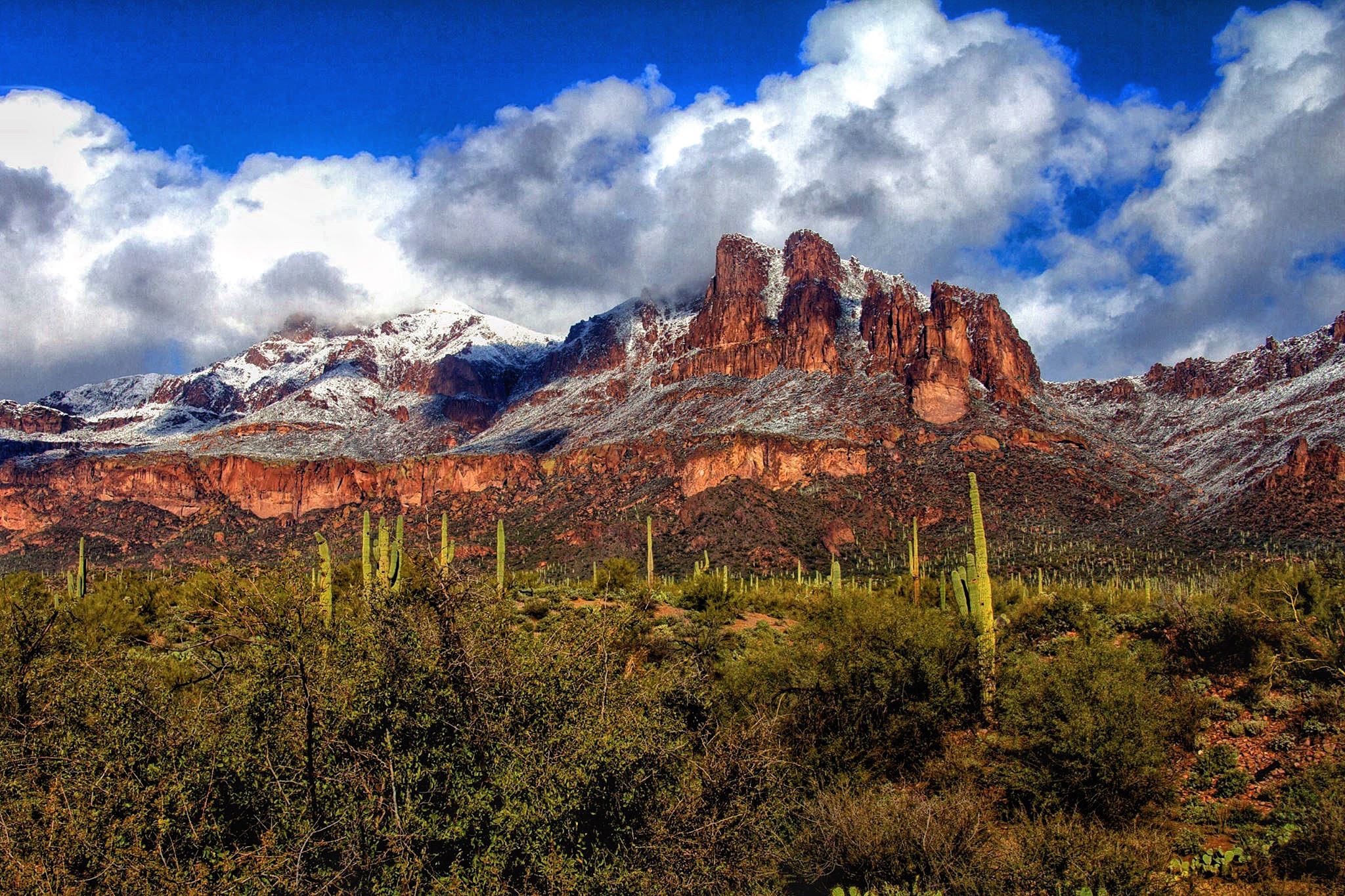
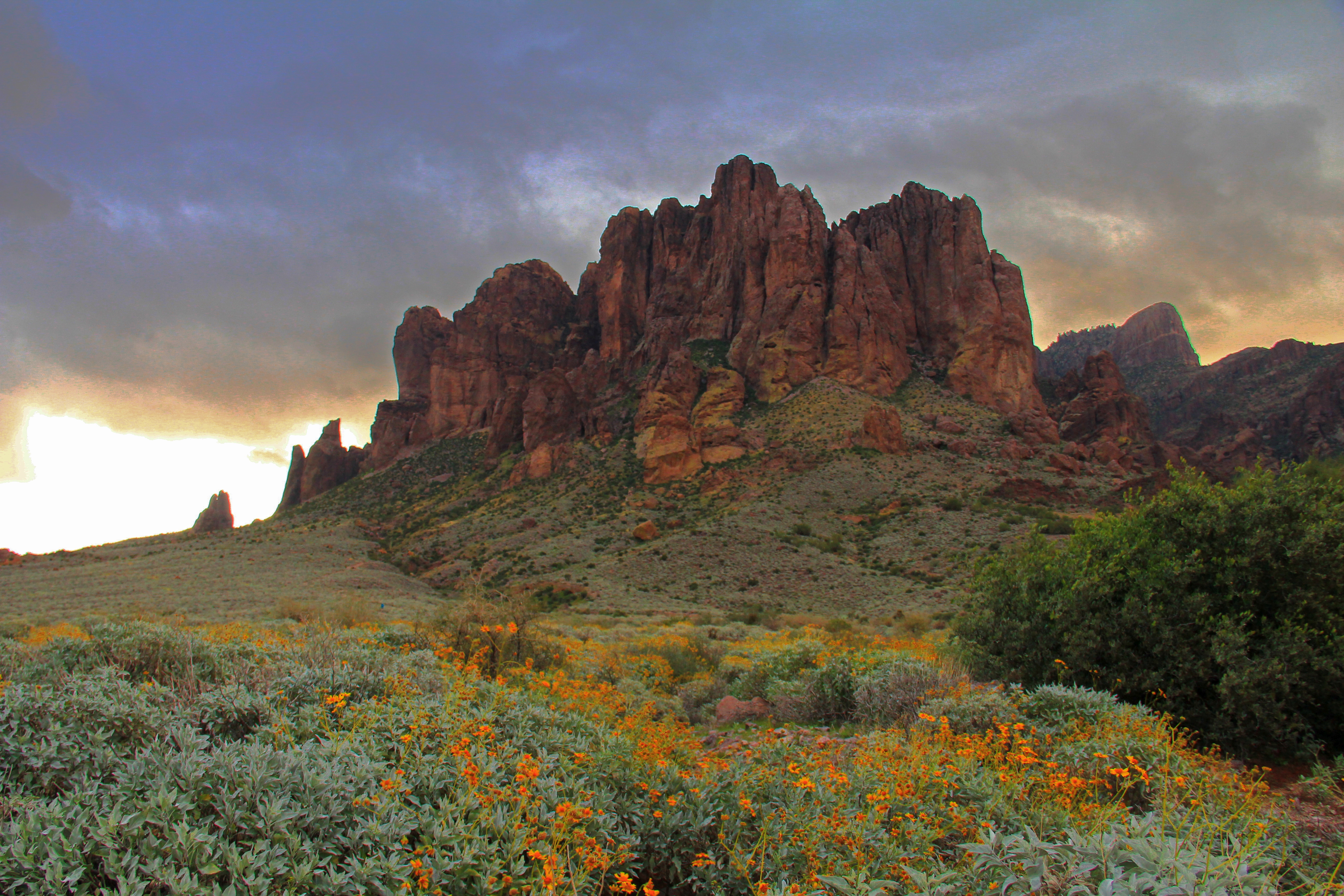
Ideally my “Plan B” should look like this.

image


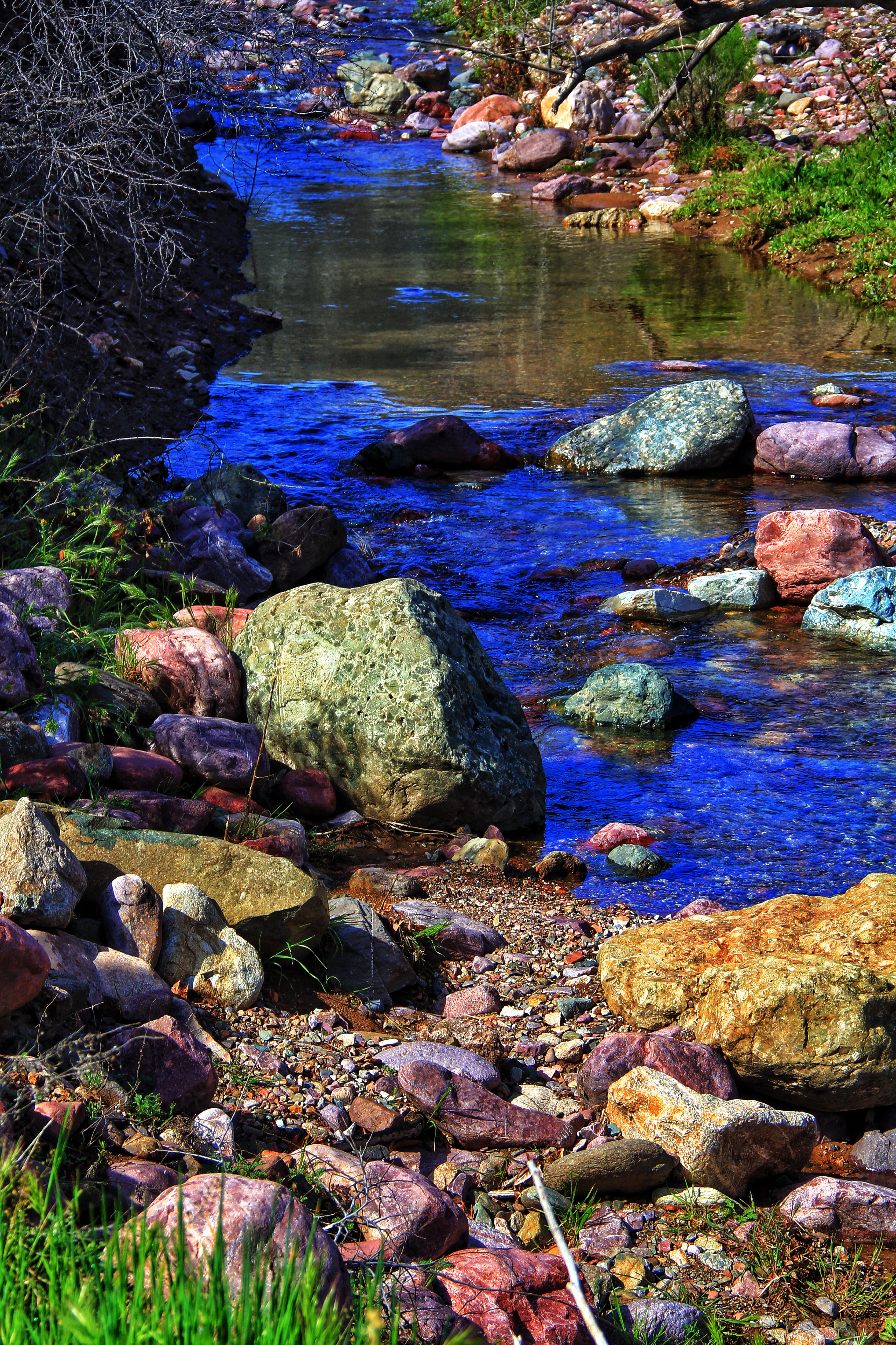
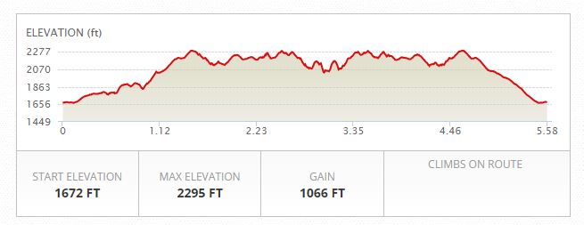
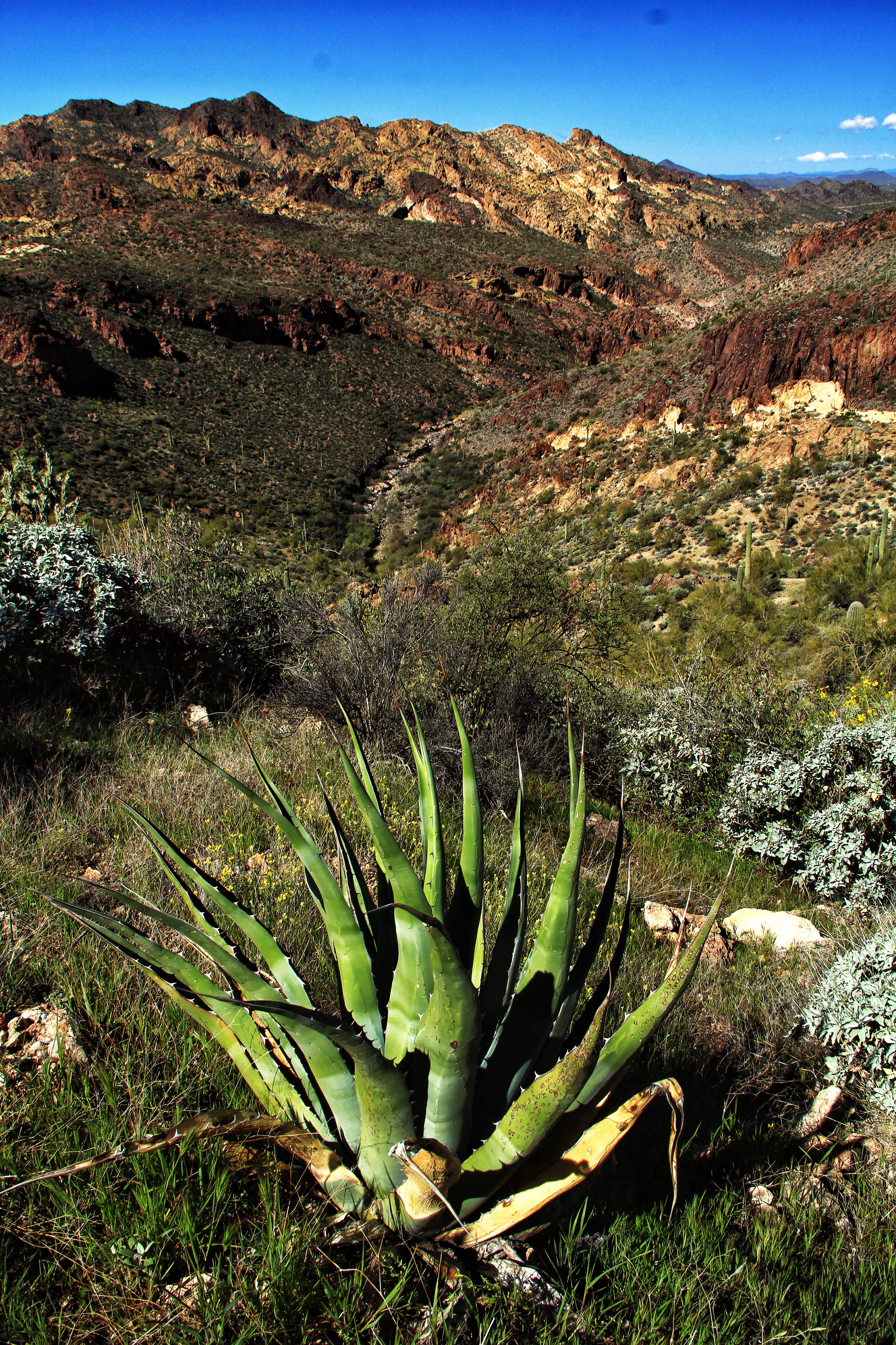
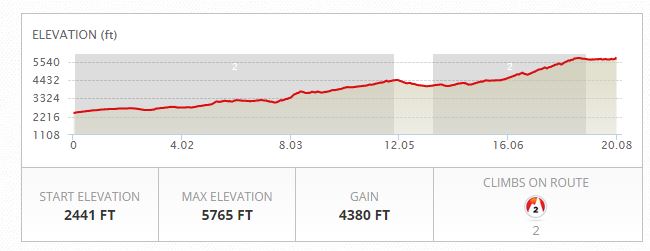
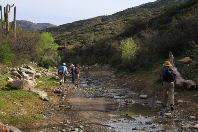
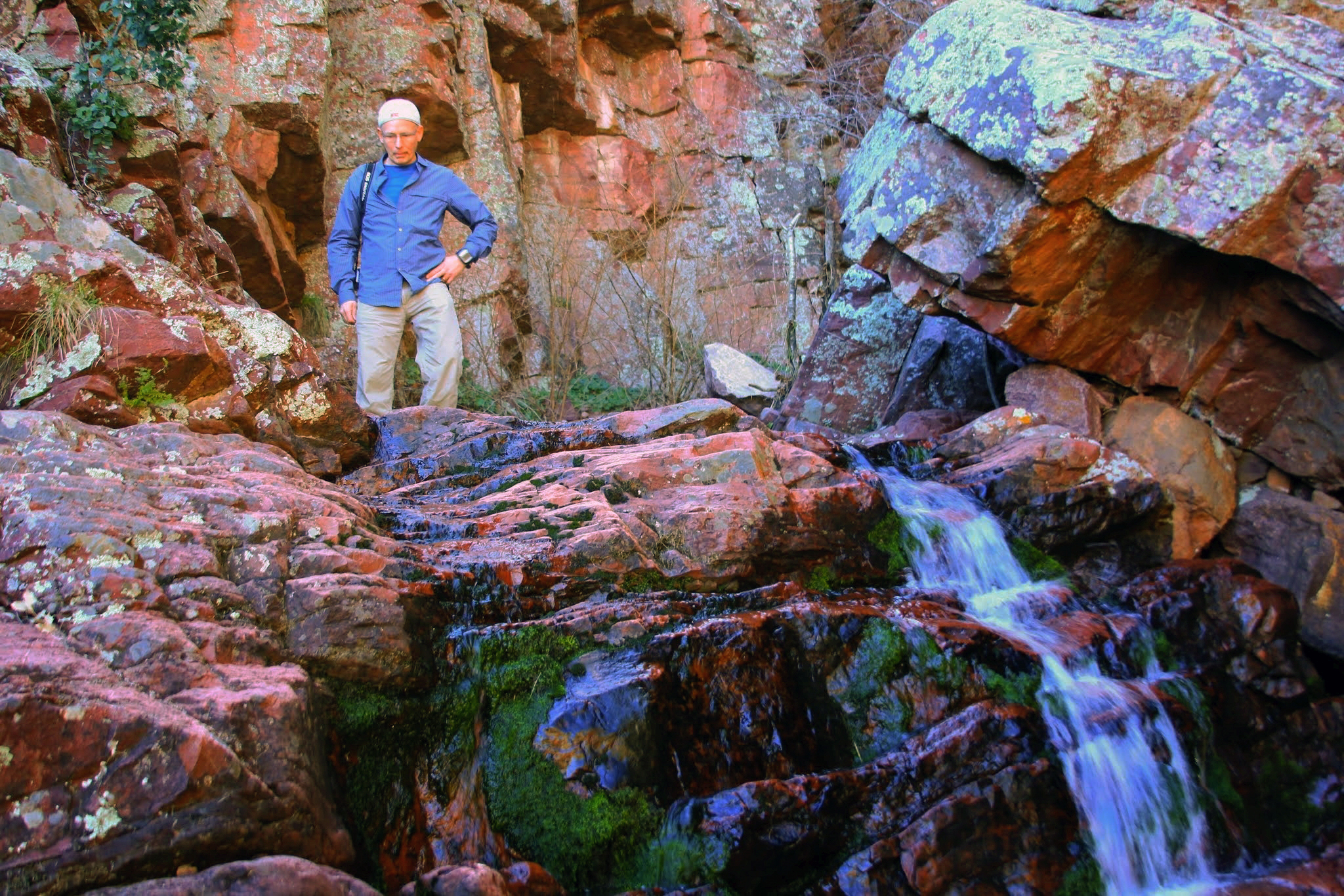
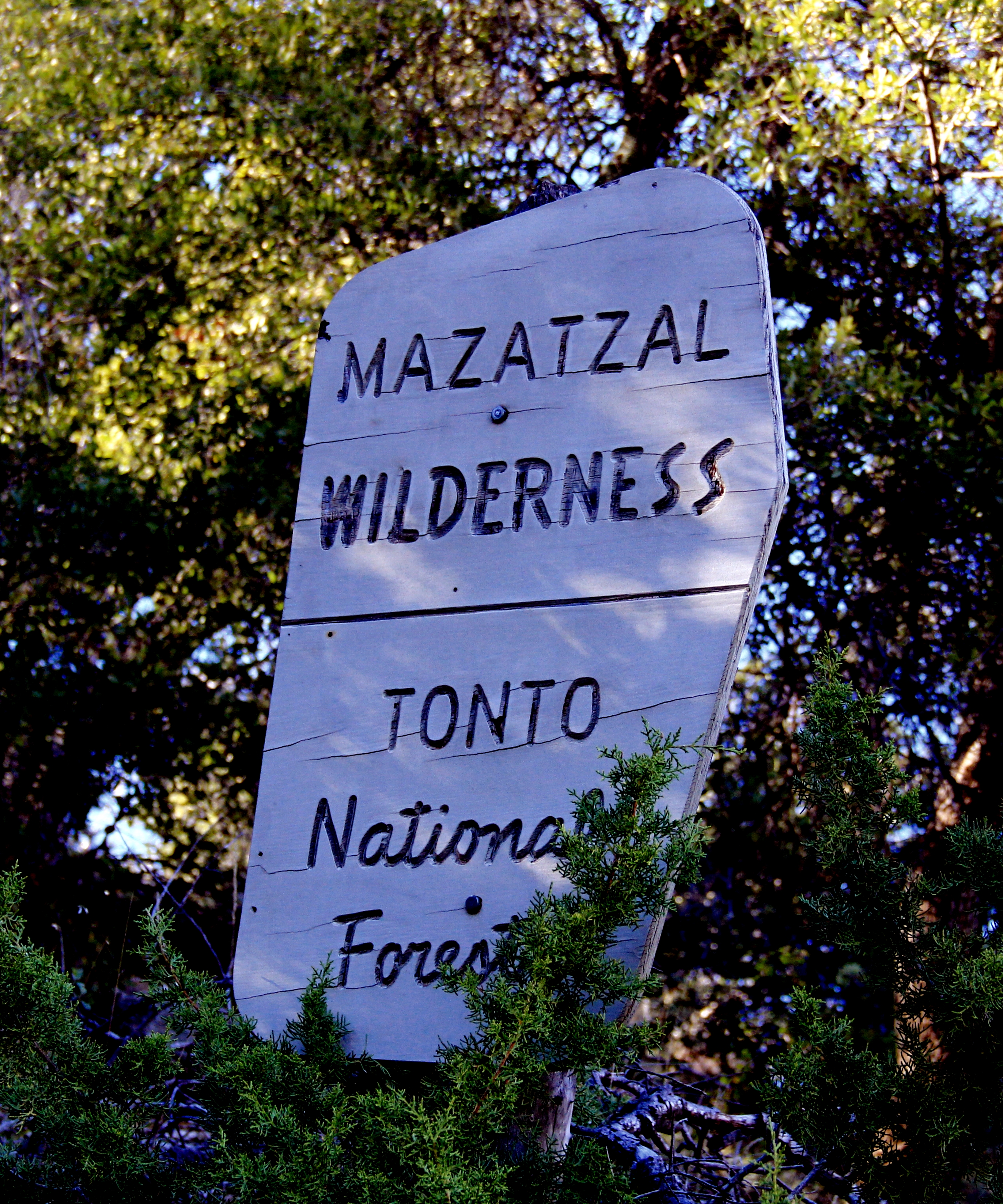
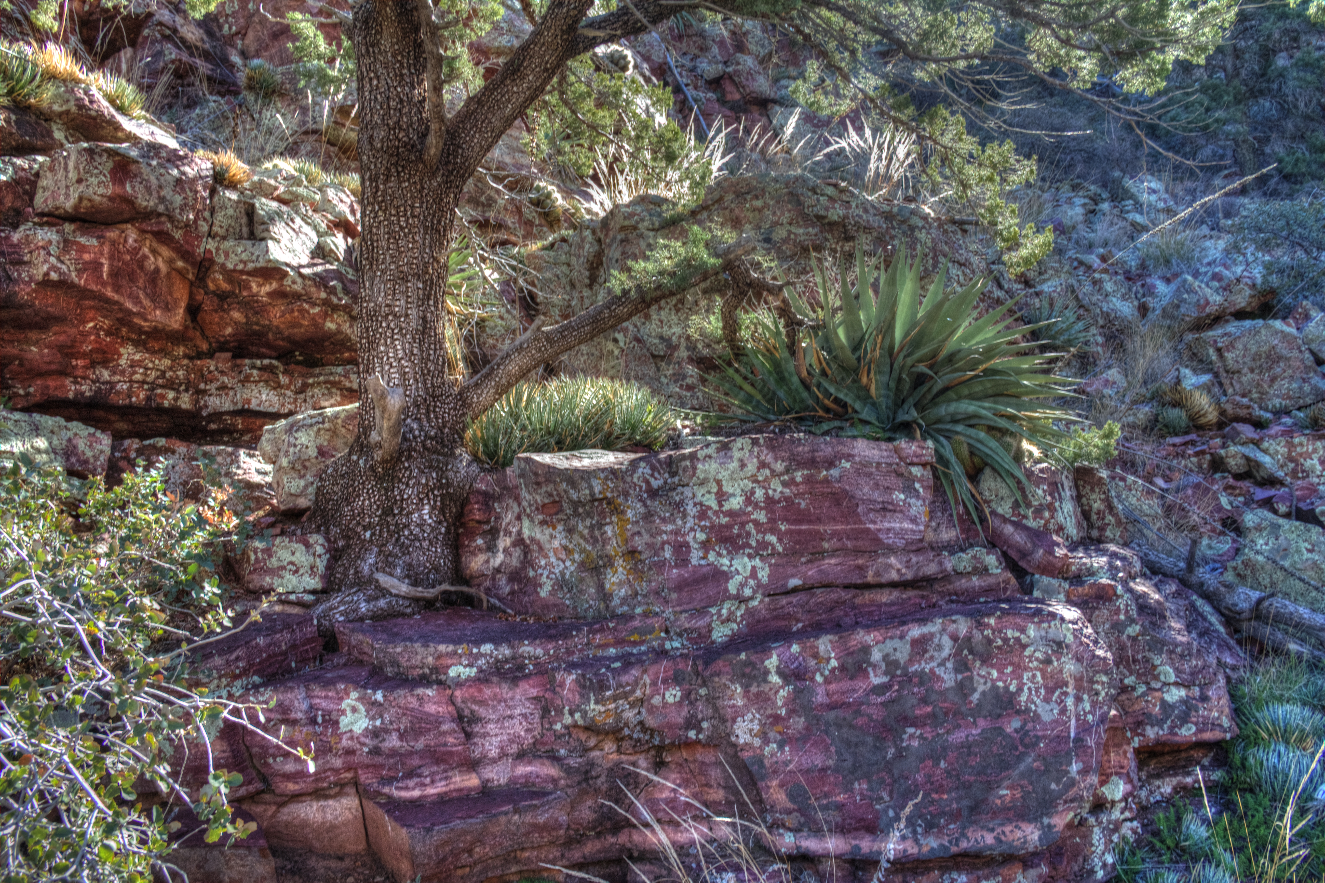
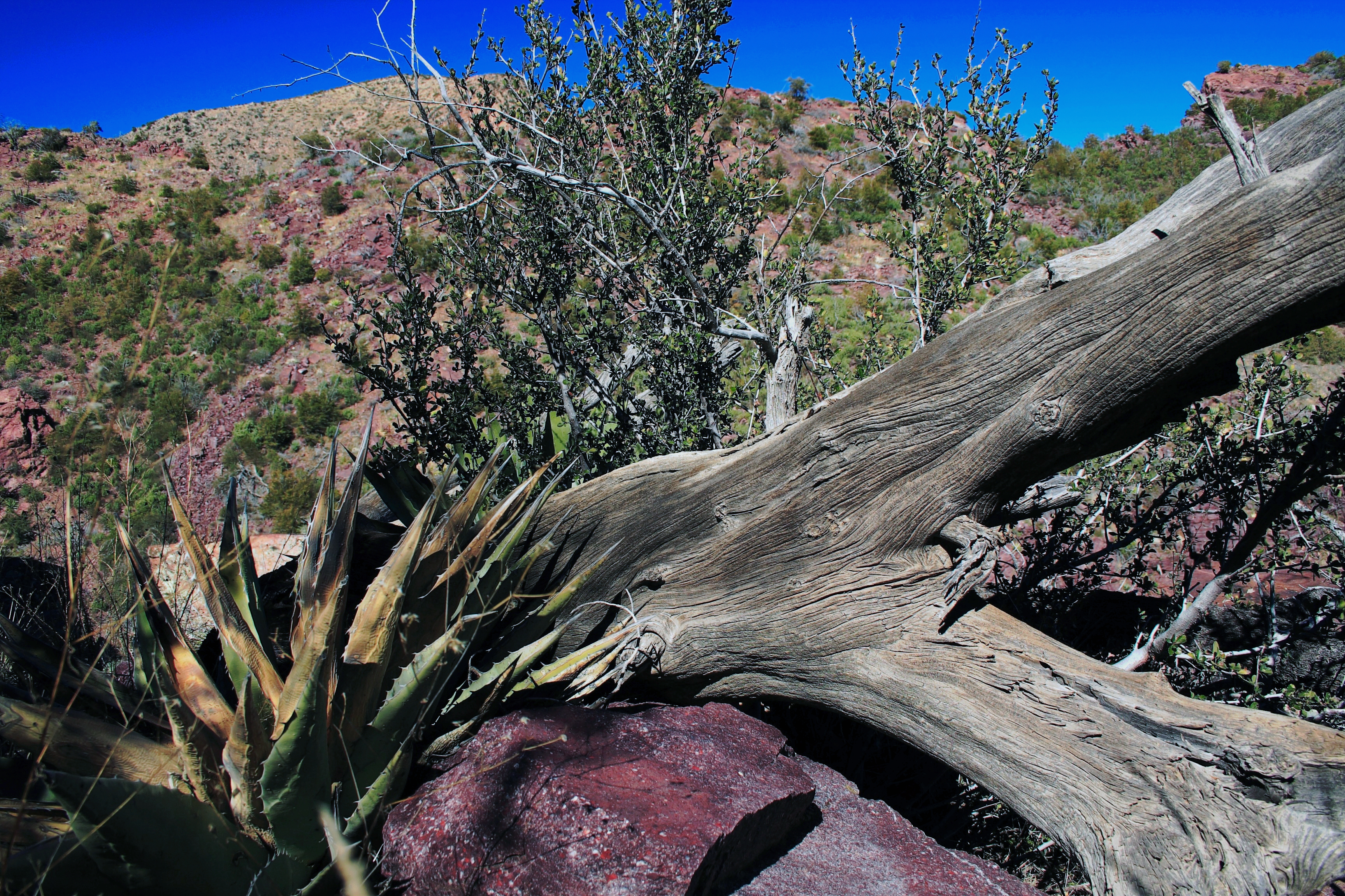
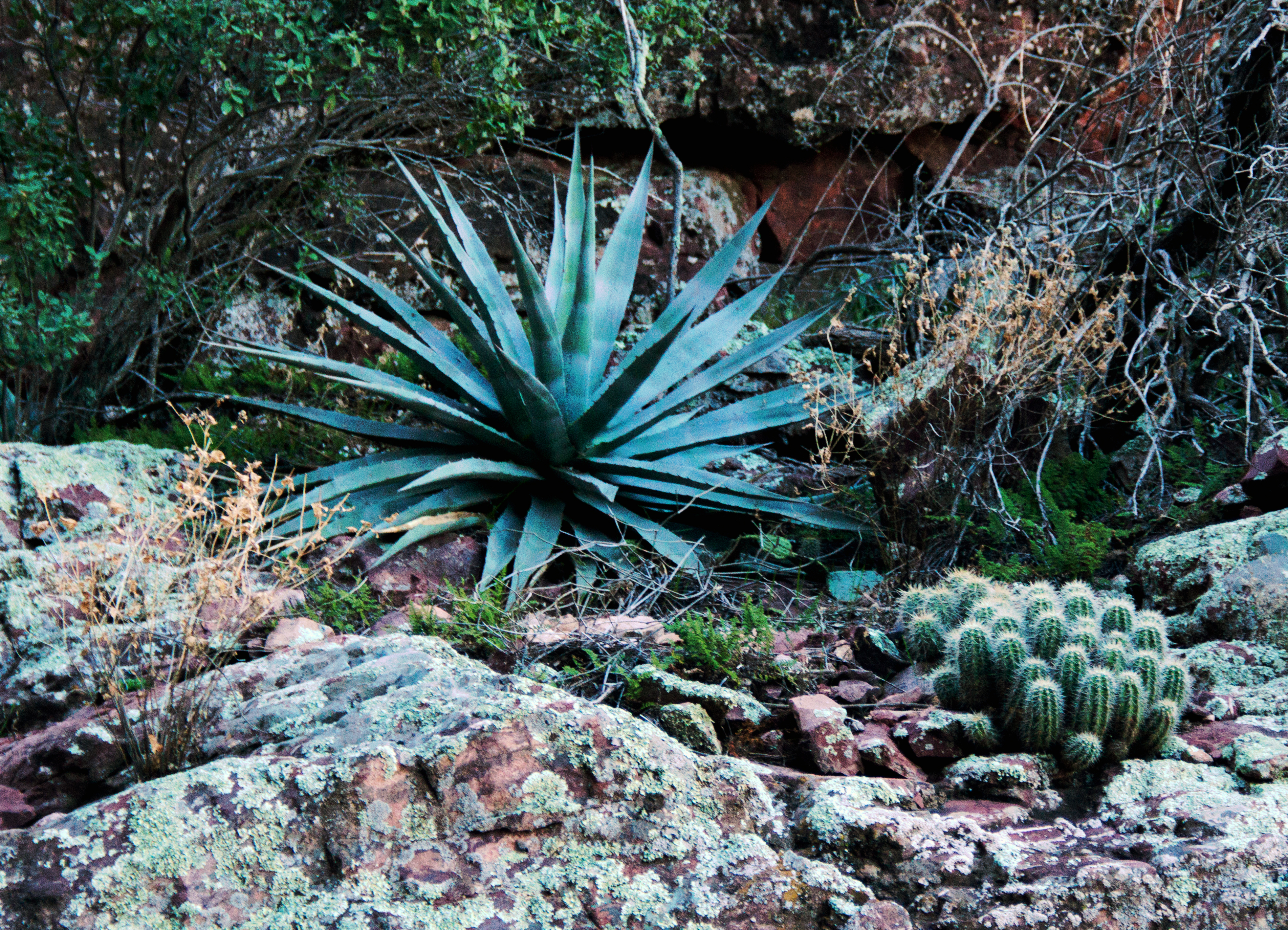
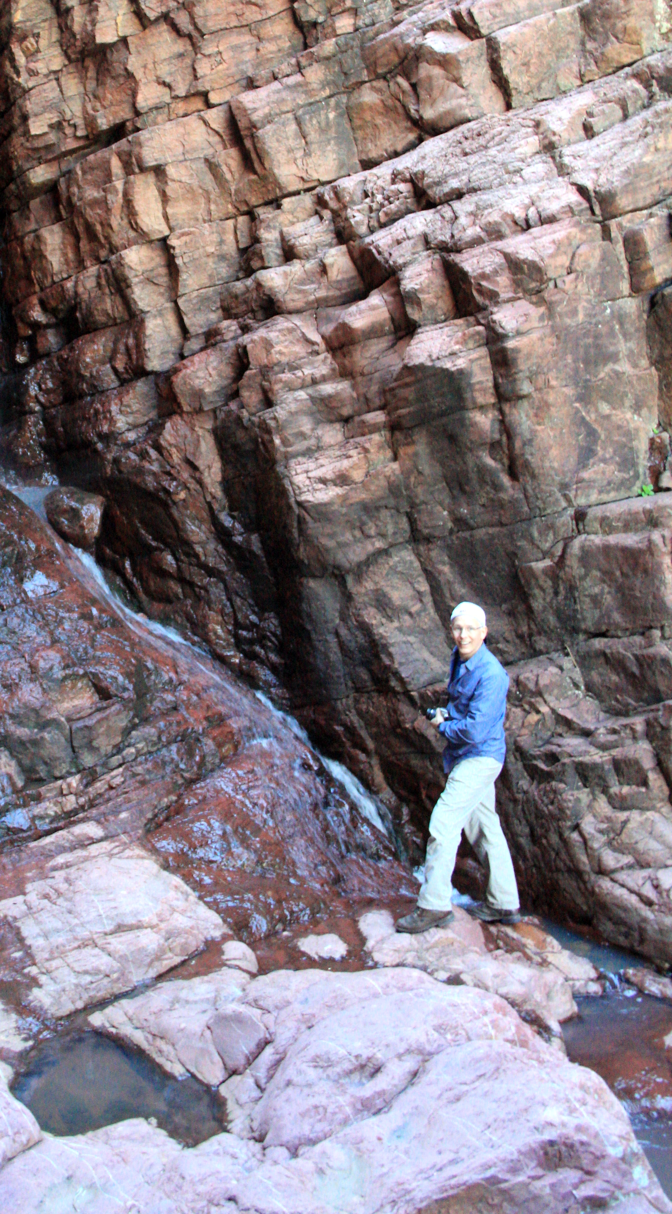
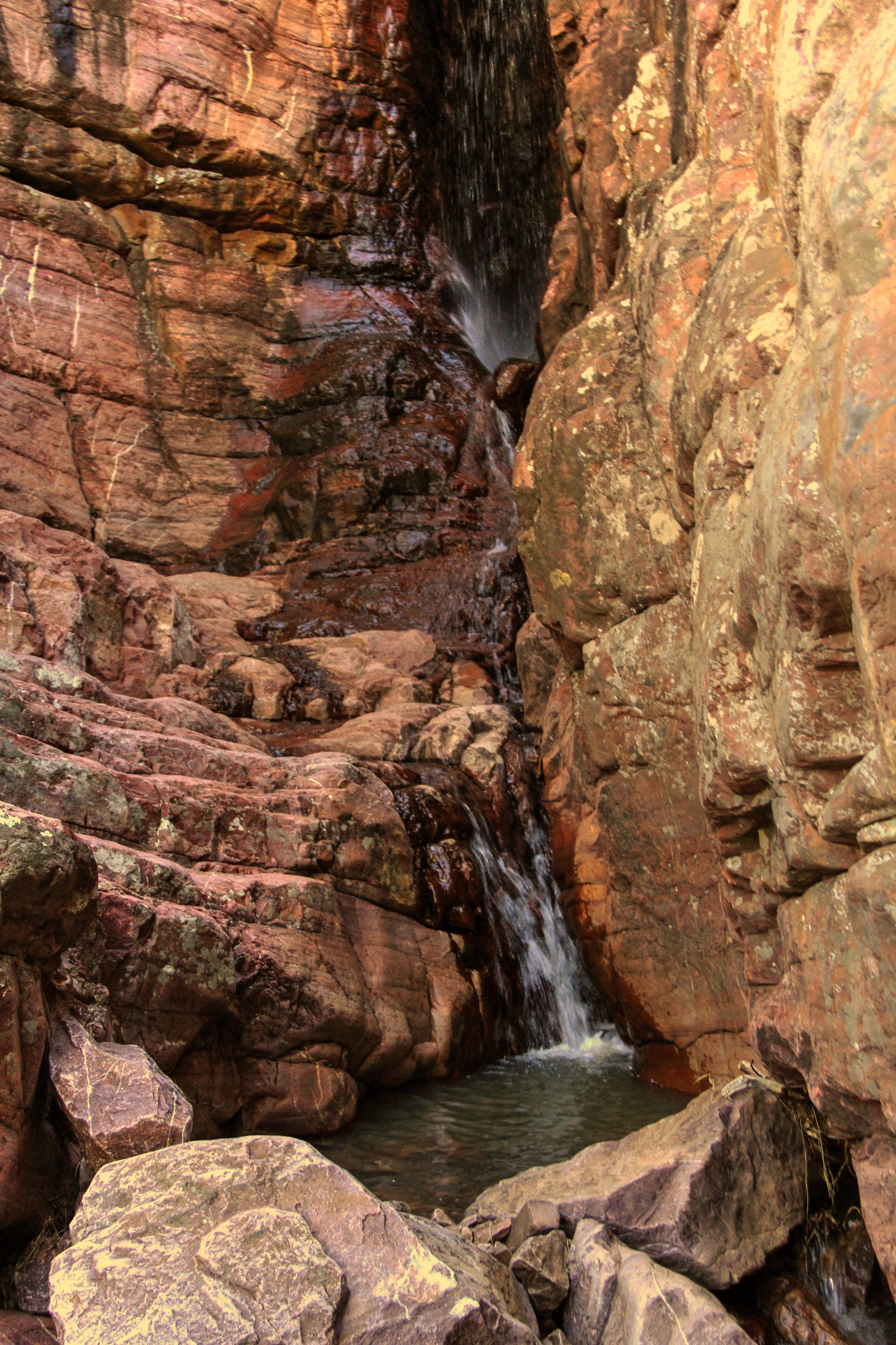
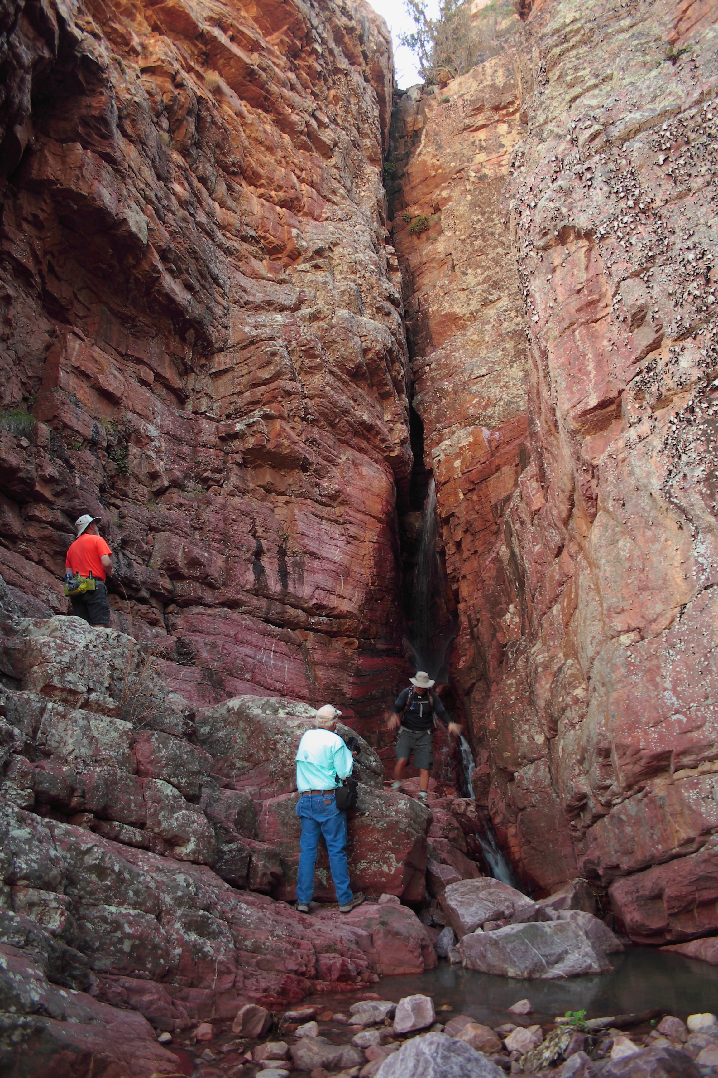
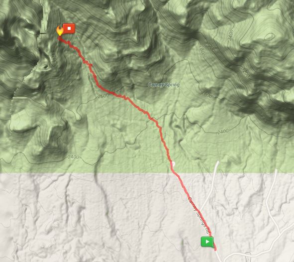
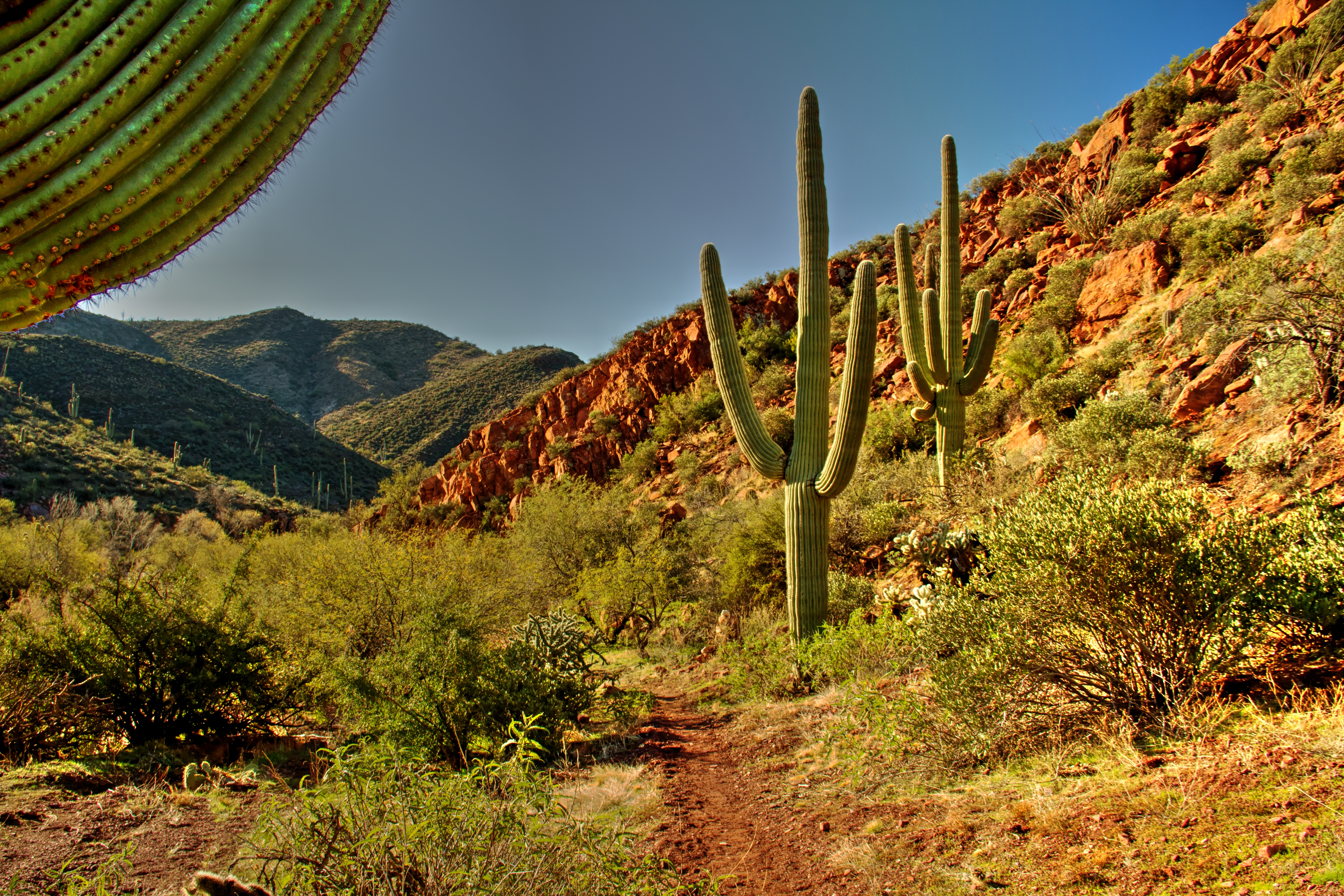
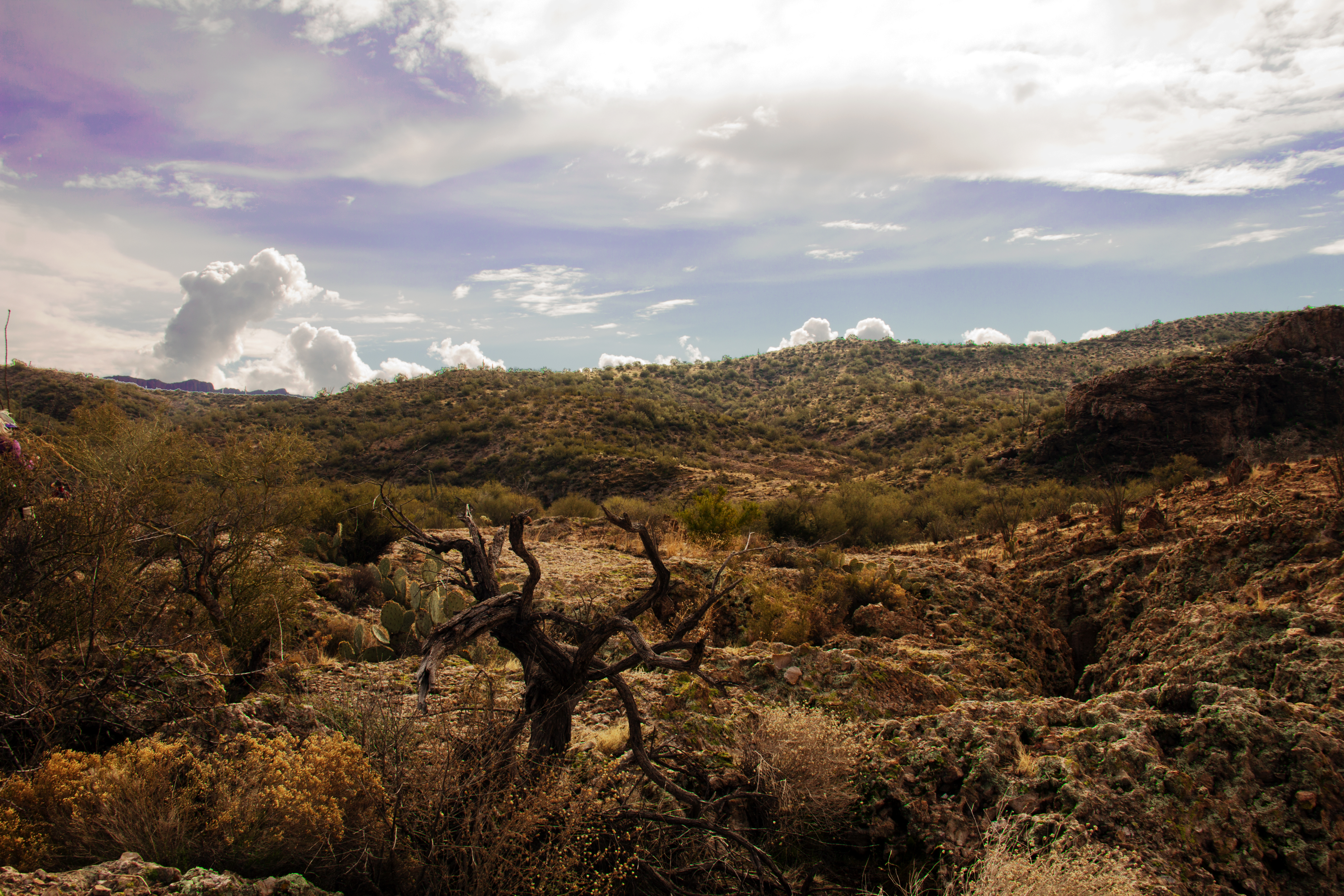
This stream is the namesake of the “Deer Creek” trail.  It’s an easy (very little elevation gain) route of 7 or 8 miles (depending on where you turn around), a few miles below the Mogollon Rim in the Mazatzal wilderness.

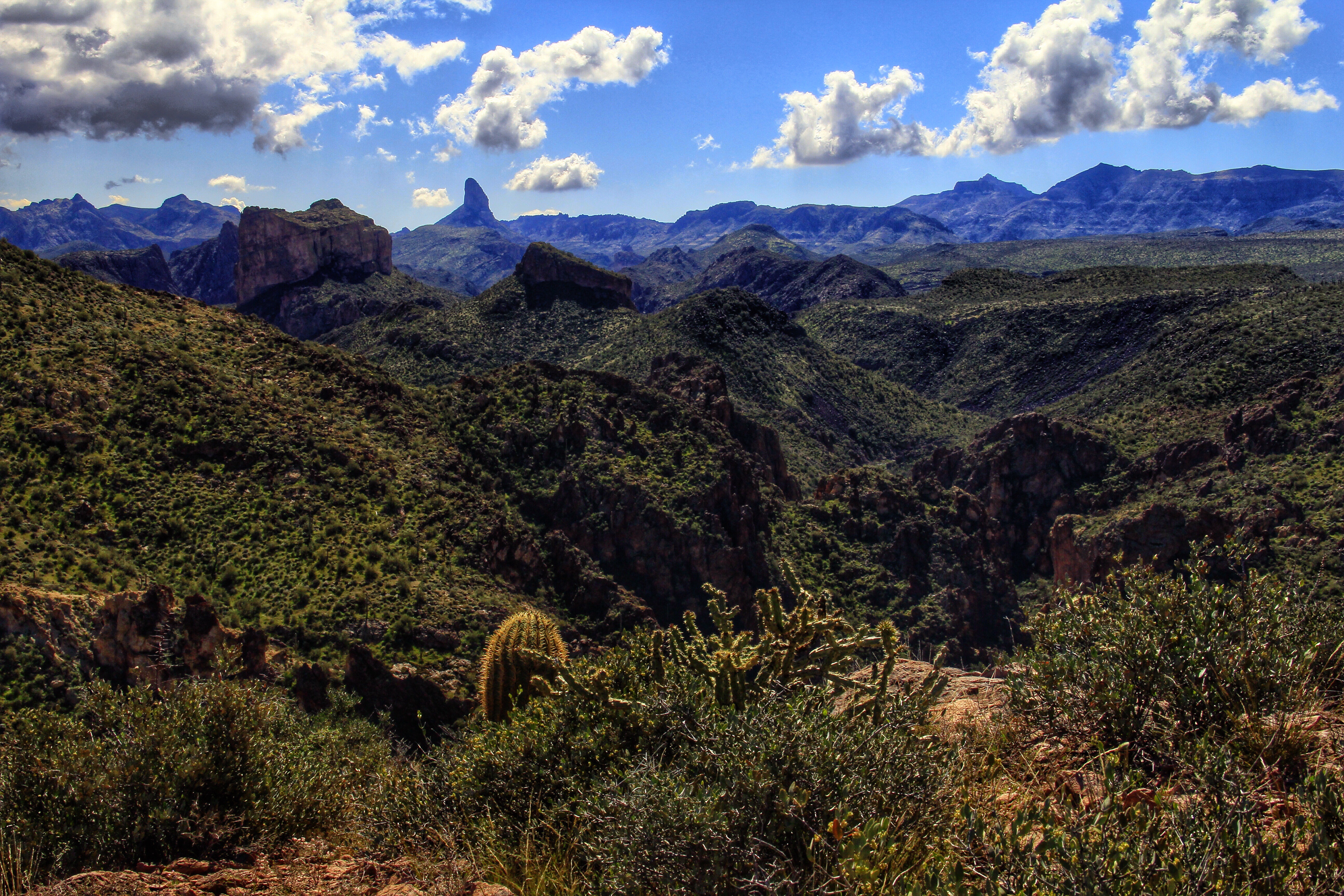
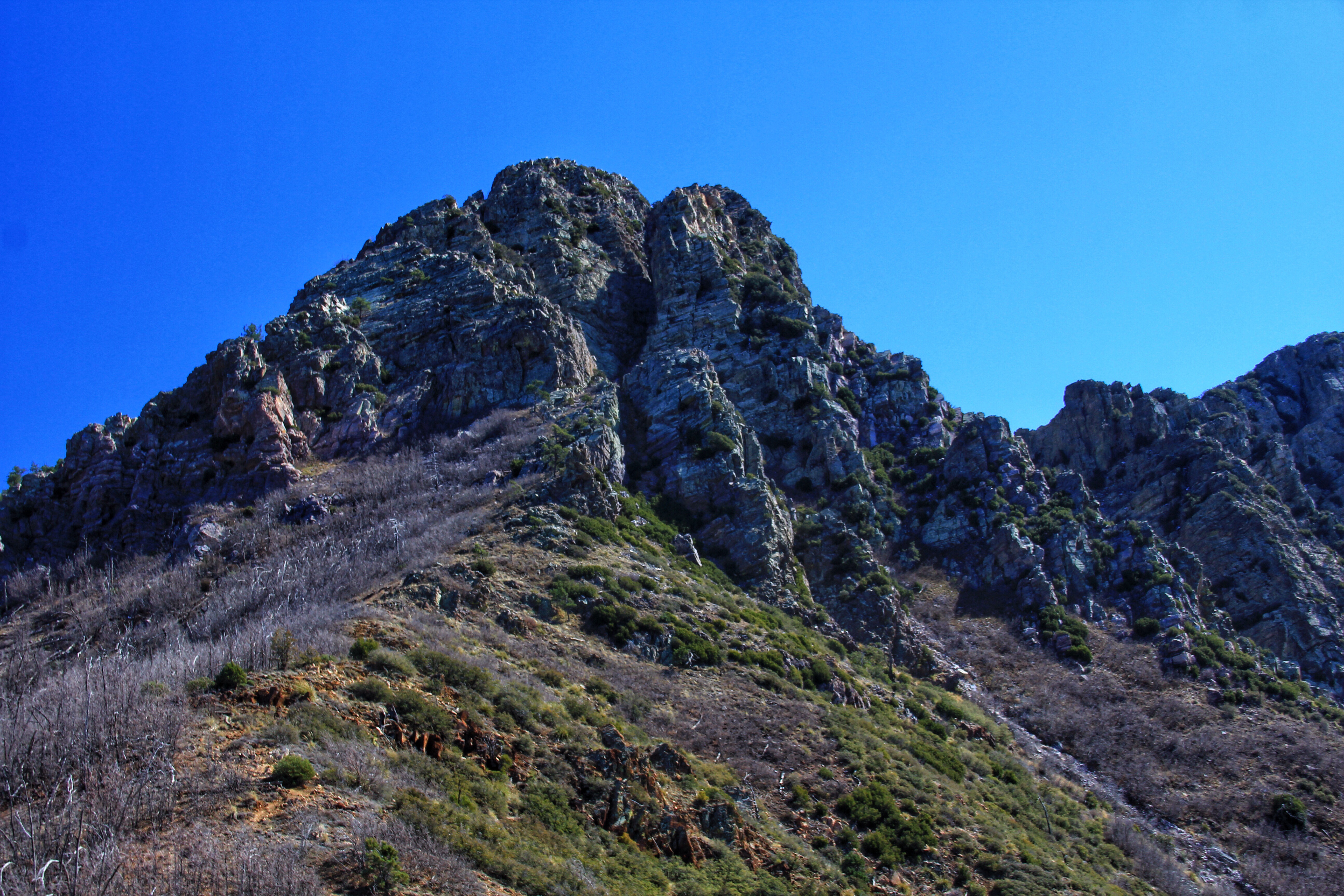
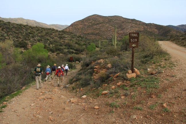
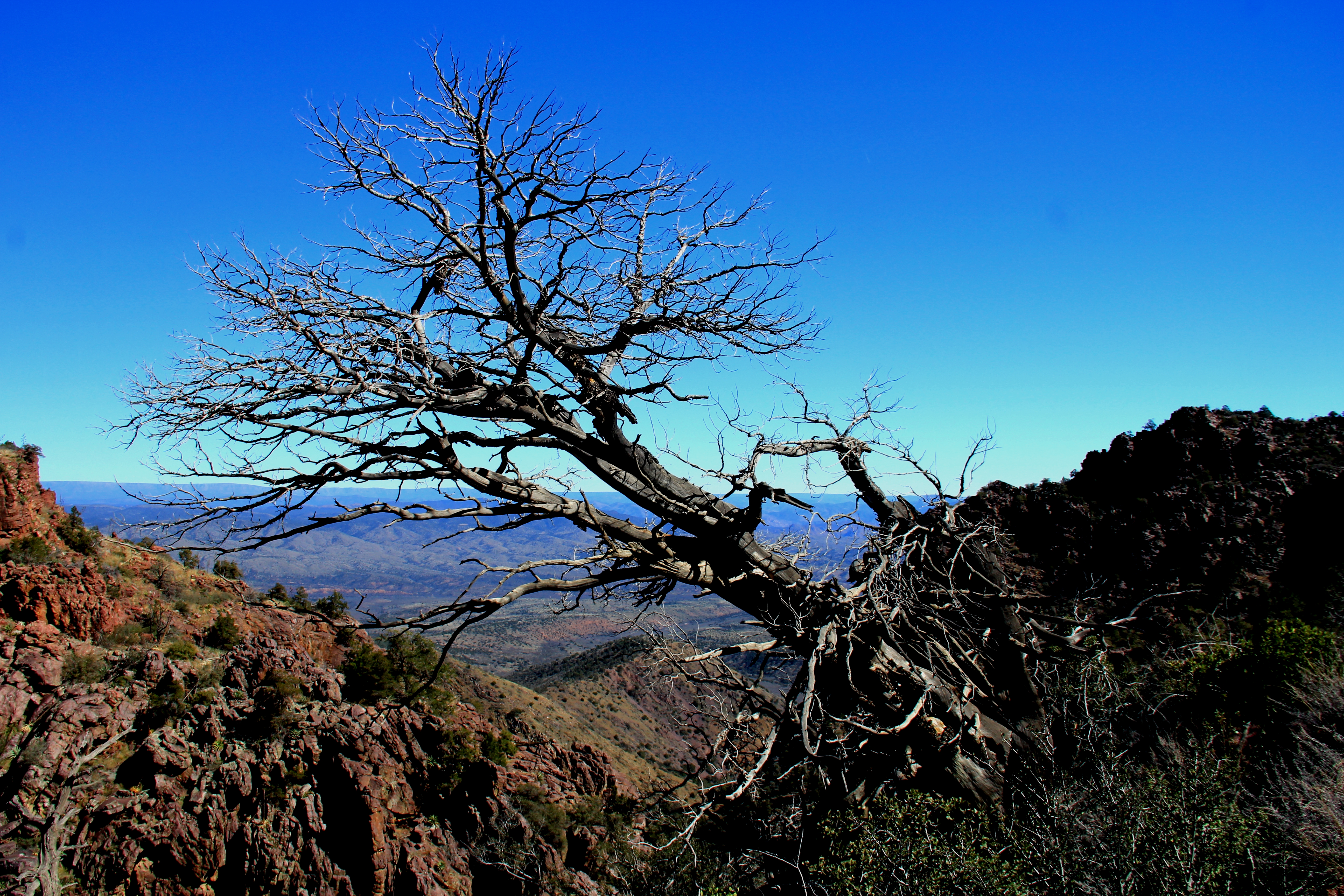
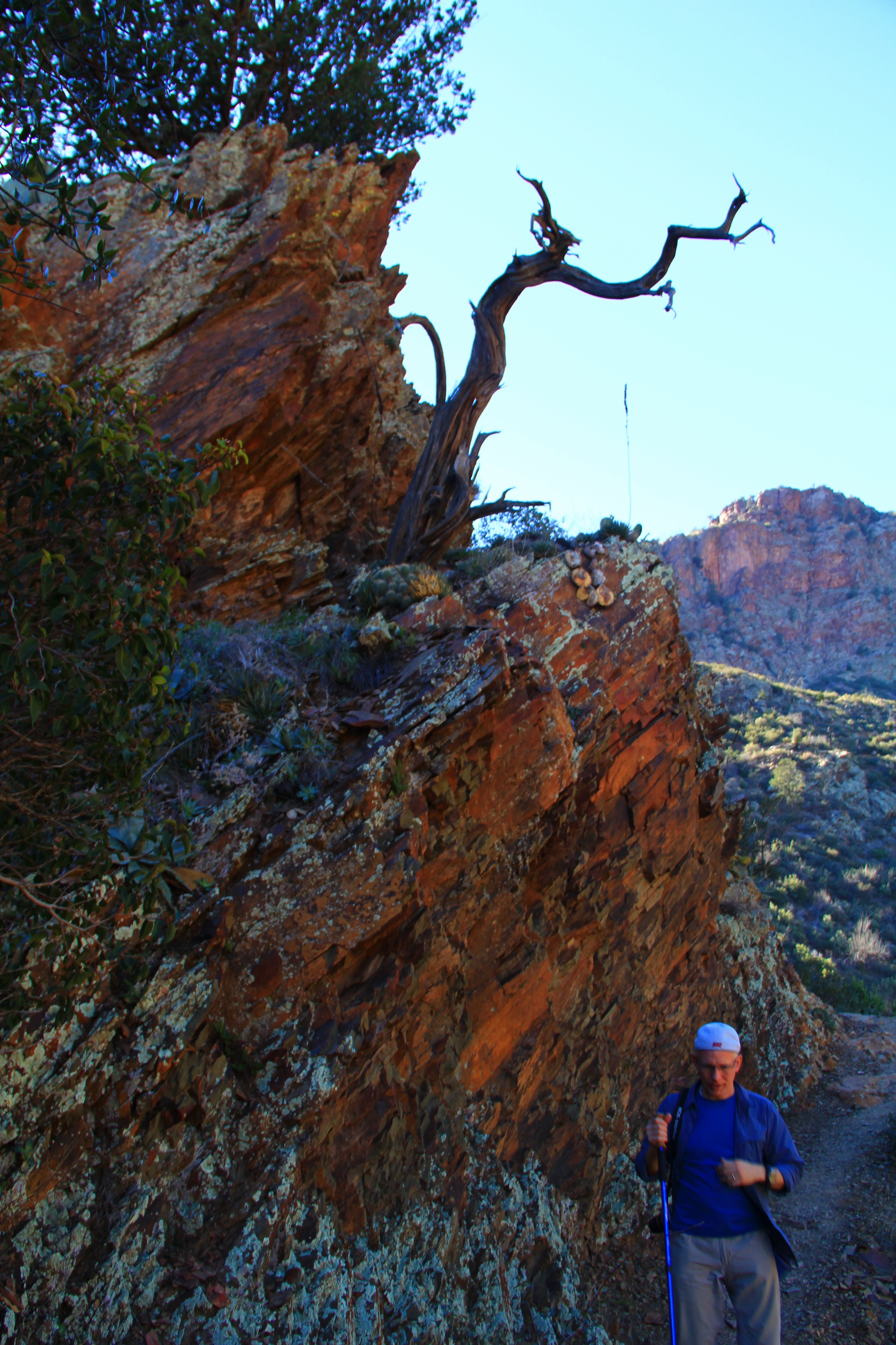
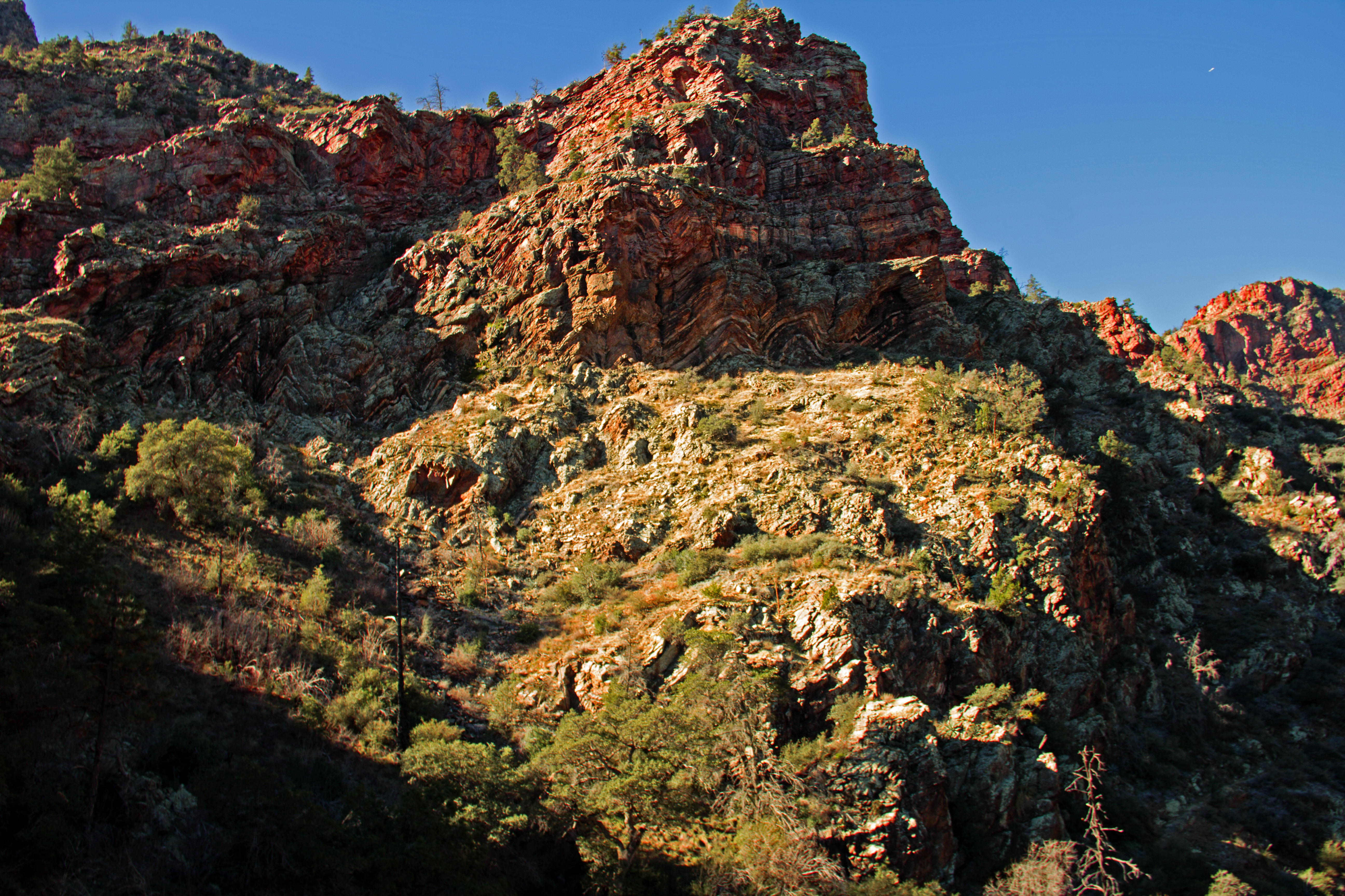
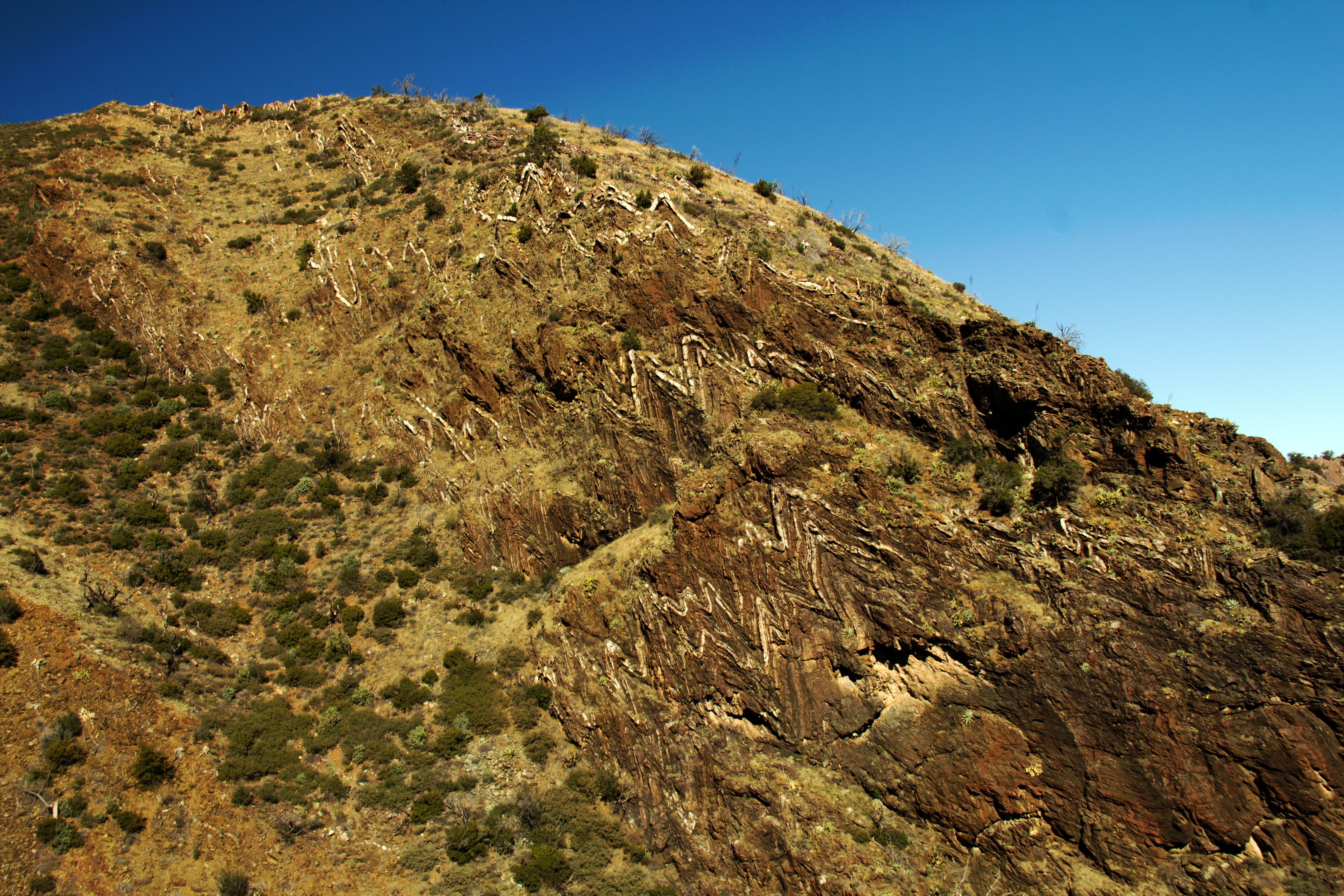
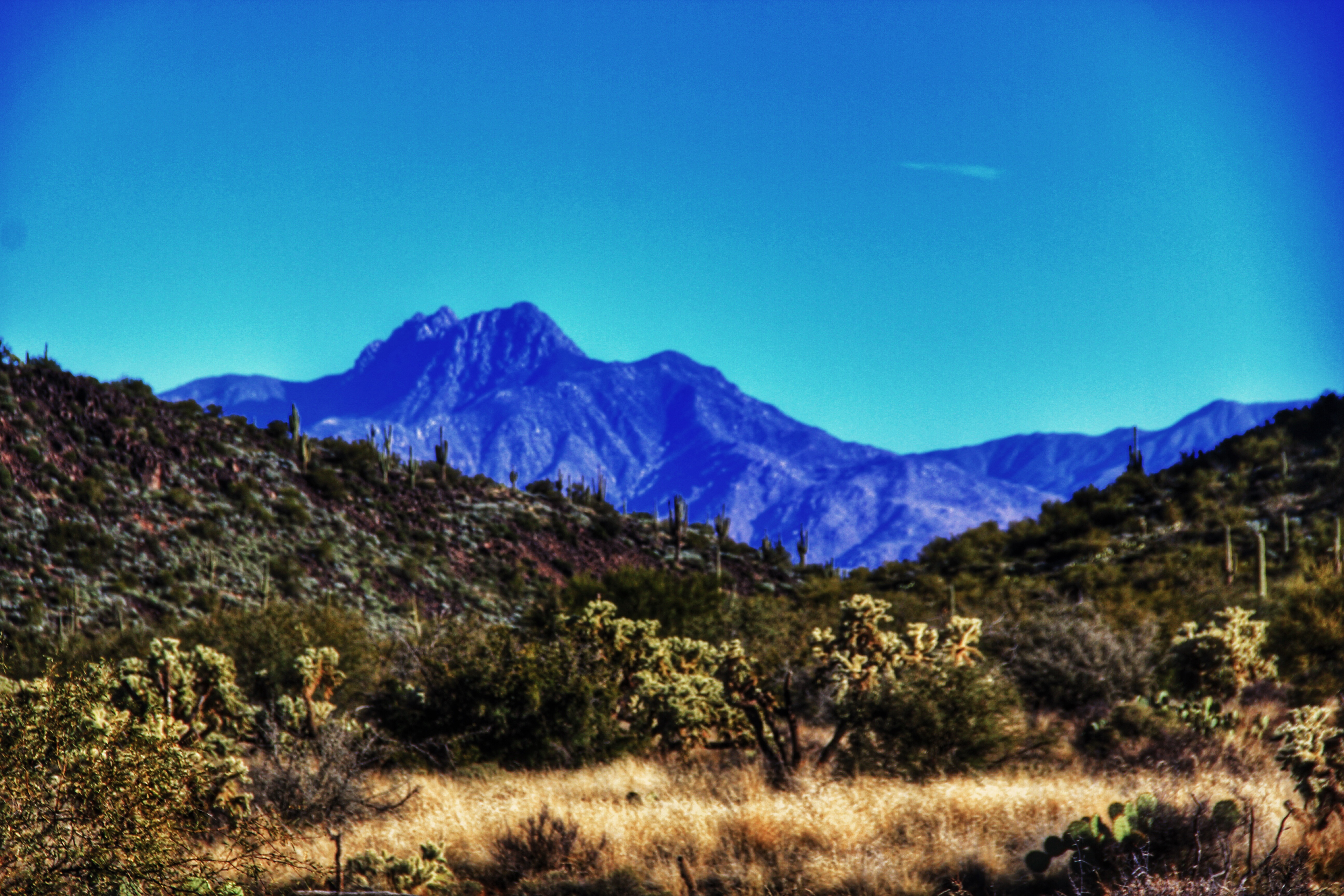
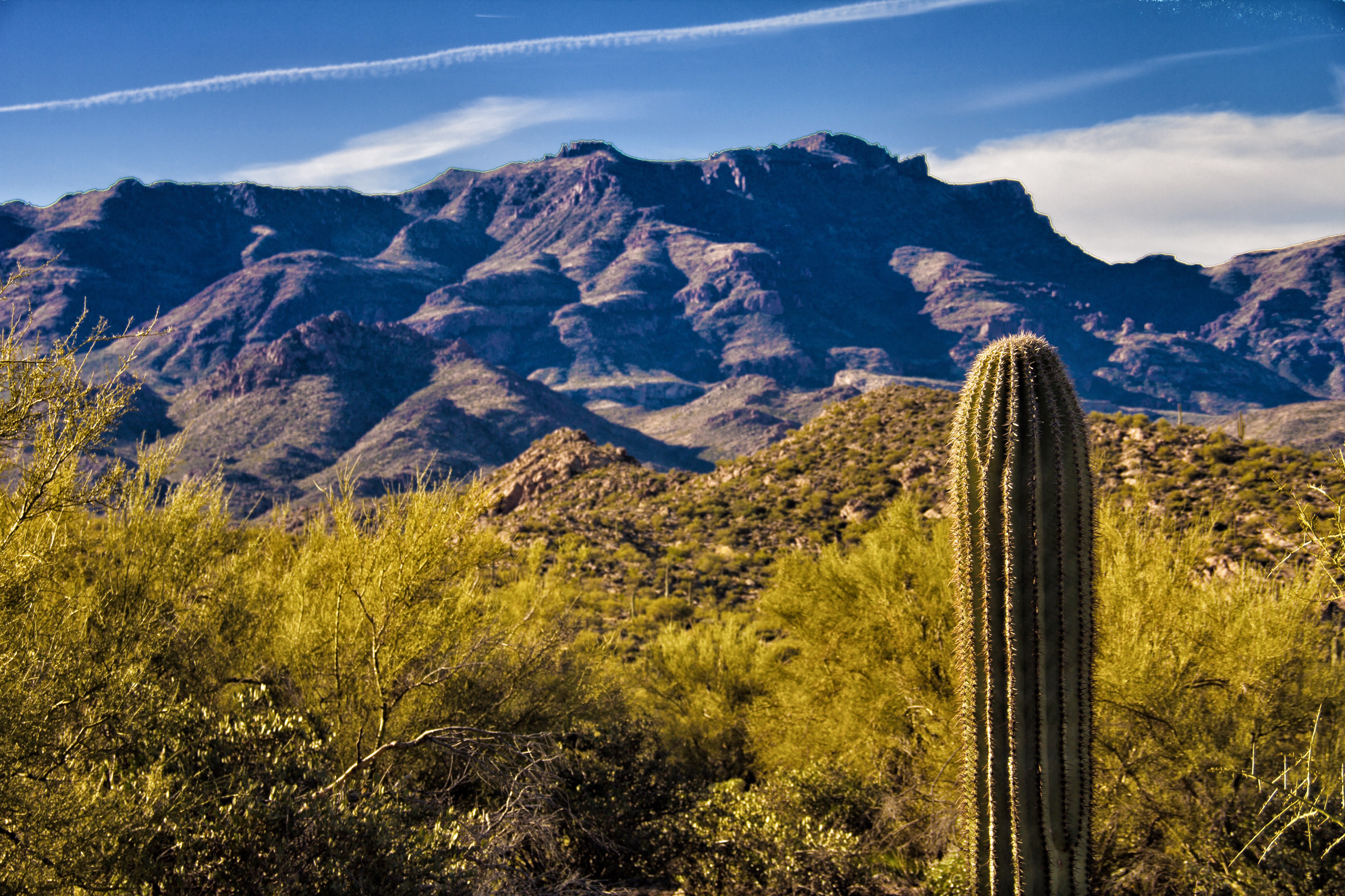
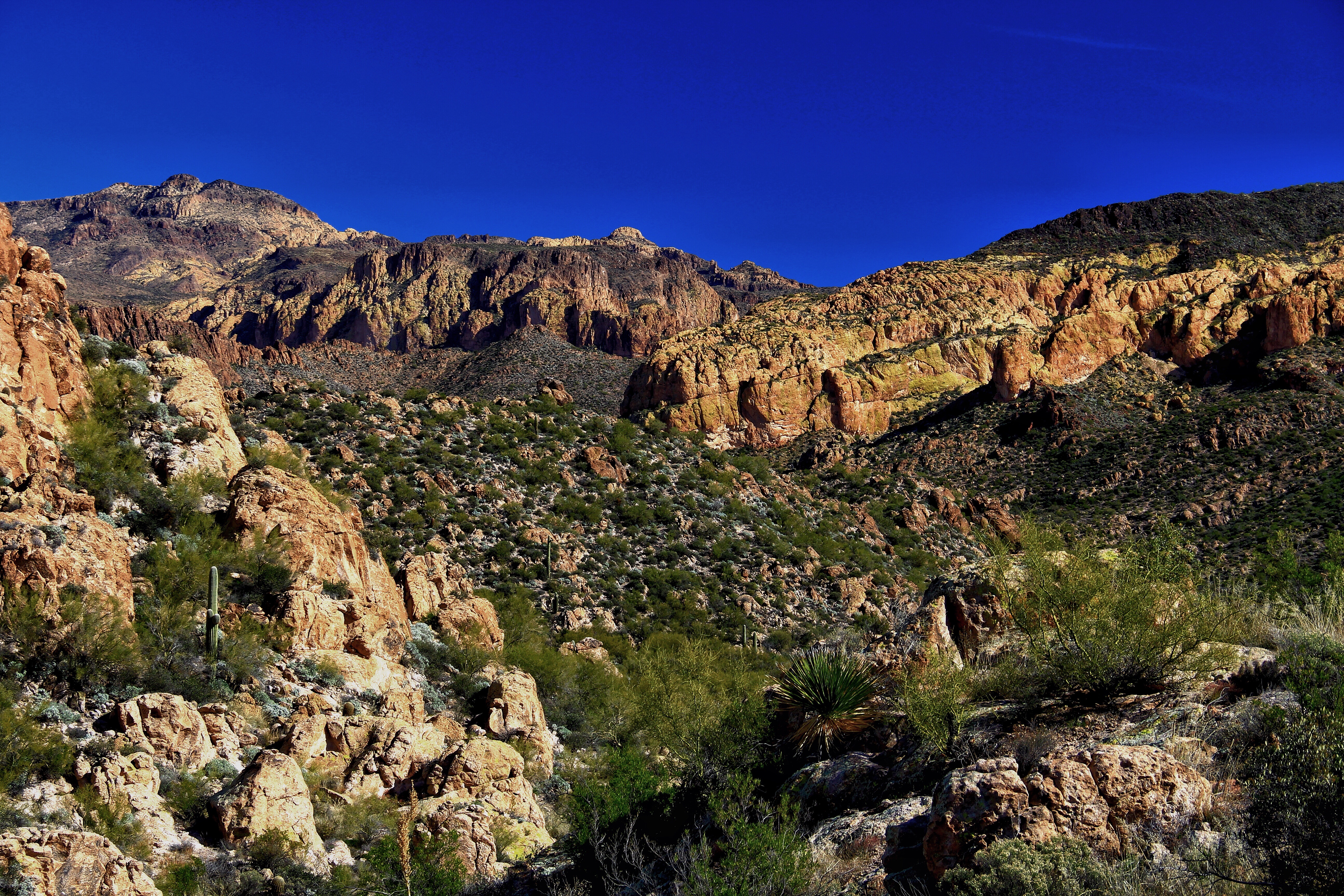
From the trailhead (right on the side of the blacktop!) the trail first passes over the top of a low ridge for perhaps a mile before dropping down to the creekside path.  Here the view is open towards a gentle range of worn mountains.

image

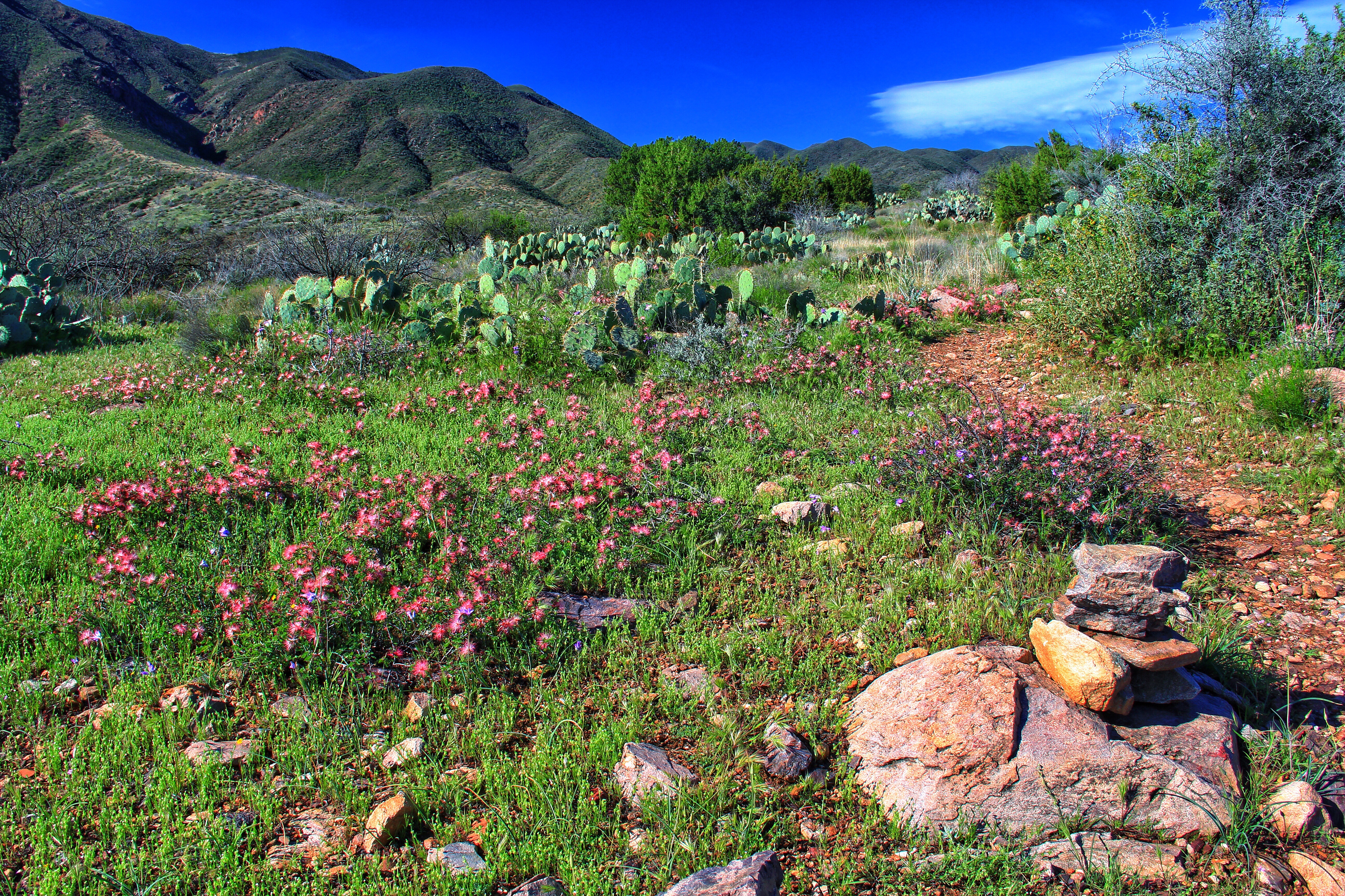
A hint of the “coming attractions” was the lush green color of the area and more important, the presence of a healthy population of “fairy dusters”, the wispy red flowers you see along the trail above. Clearly the recent rain was a “color booster” event.

Further along the ridge the spring flowers just got better and better.

A favorite desert flower of mine is the delicate “Doubting Mariposa”.  I count myself lucky to see a couple of them during a season of hiking.  As we moved up the ridge we suddenly encountered an area with literally hundreds of them, still holding tiny raindrops untouched by the heat of day.

image

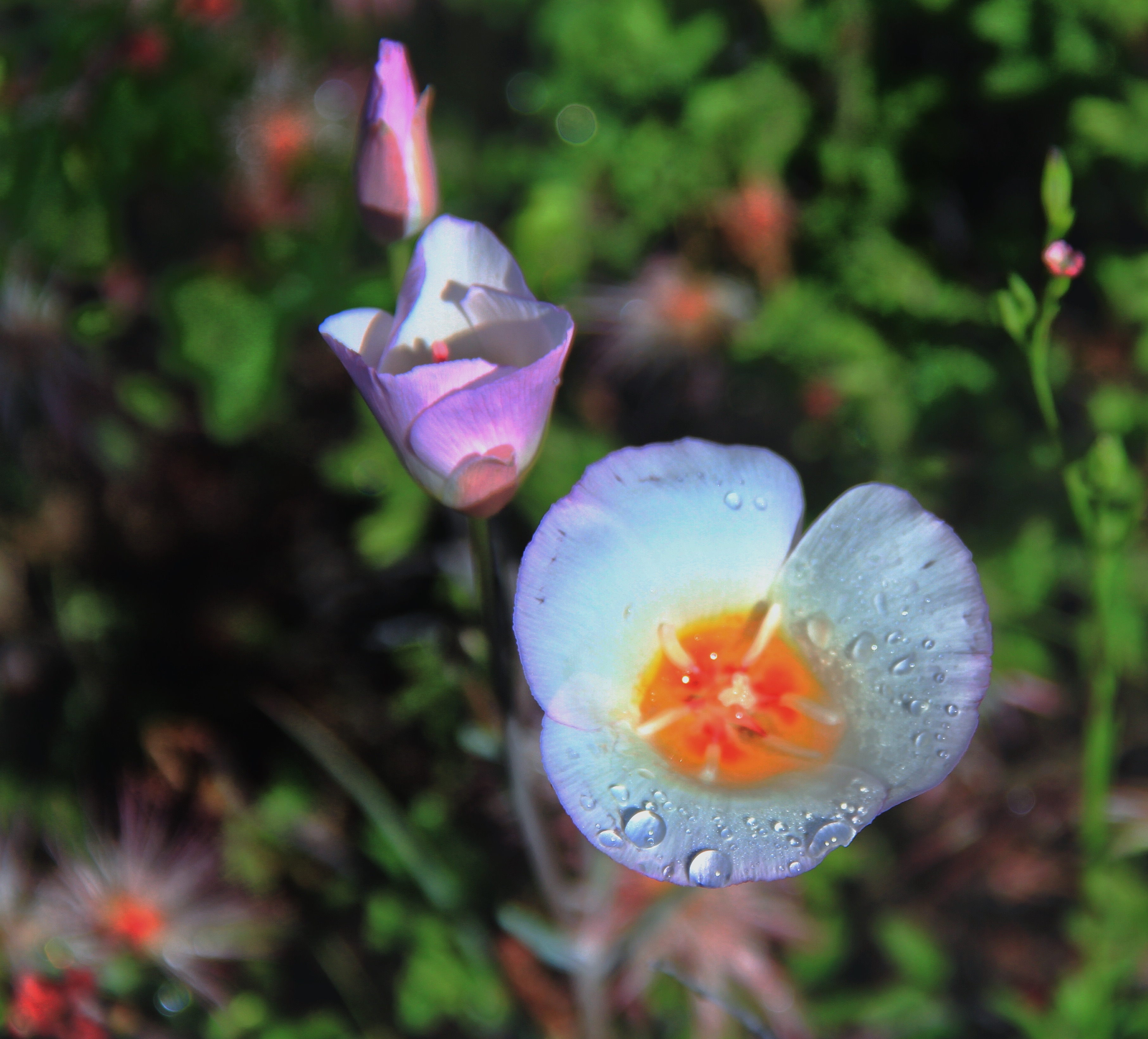
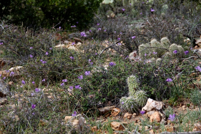
This next one I call “the Beauty by the Beasts” – a single lovely specimen next to some spiny hedgehog cactus.

image

The irony is that the Mariposa will soon fade, and in 2 or 3 weeks those the prickly hedgehogs will become each the pedestal holding a single intense deep pink blossom, as pretty as any rose you ever saw.

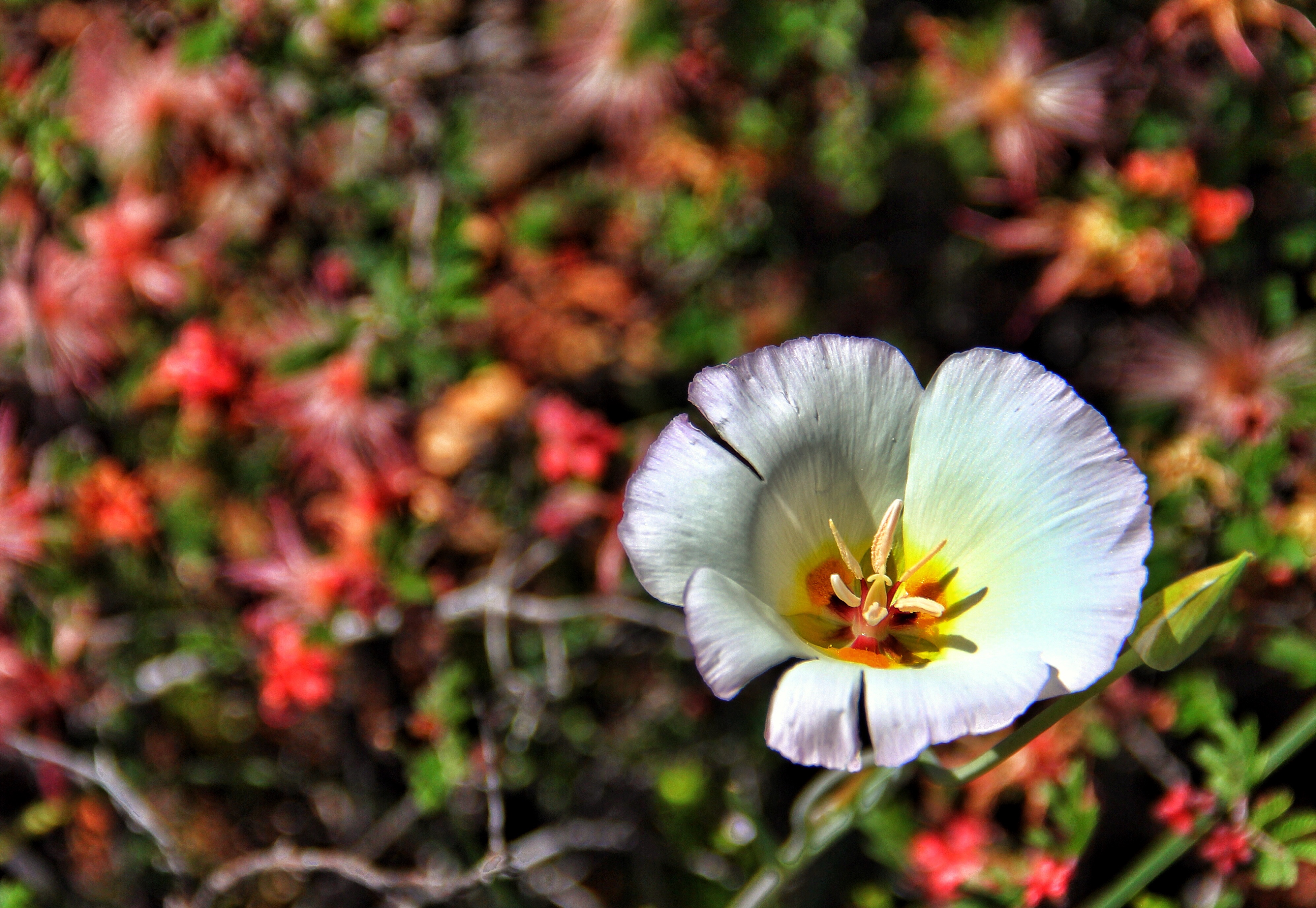
One more for you, just because they’re so pretty.

image

As quickly as they appeared, the Mariposa were gone, and dropping down over a rise in the trail we came upon lush meadows of another favorite, golden Mexican poppies.

image

image

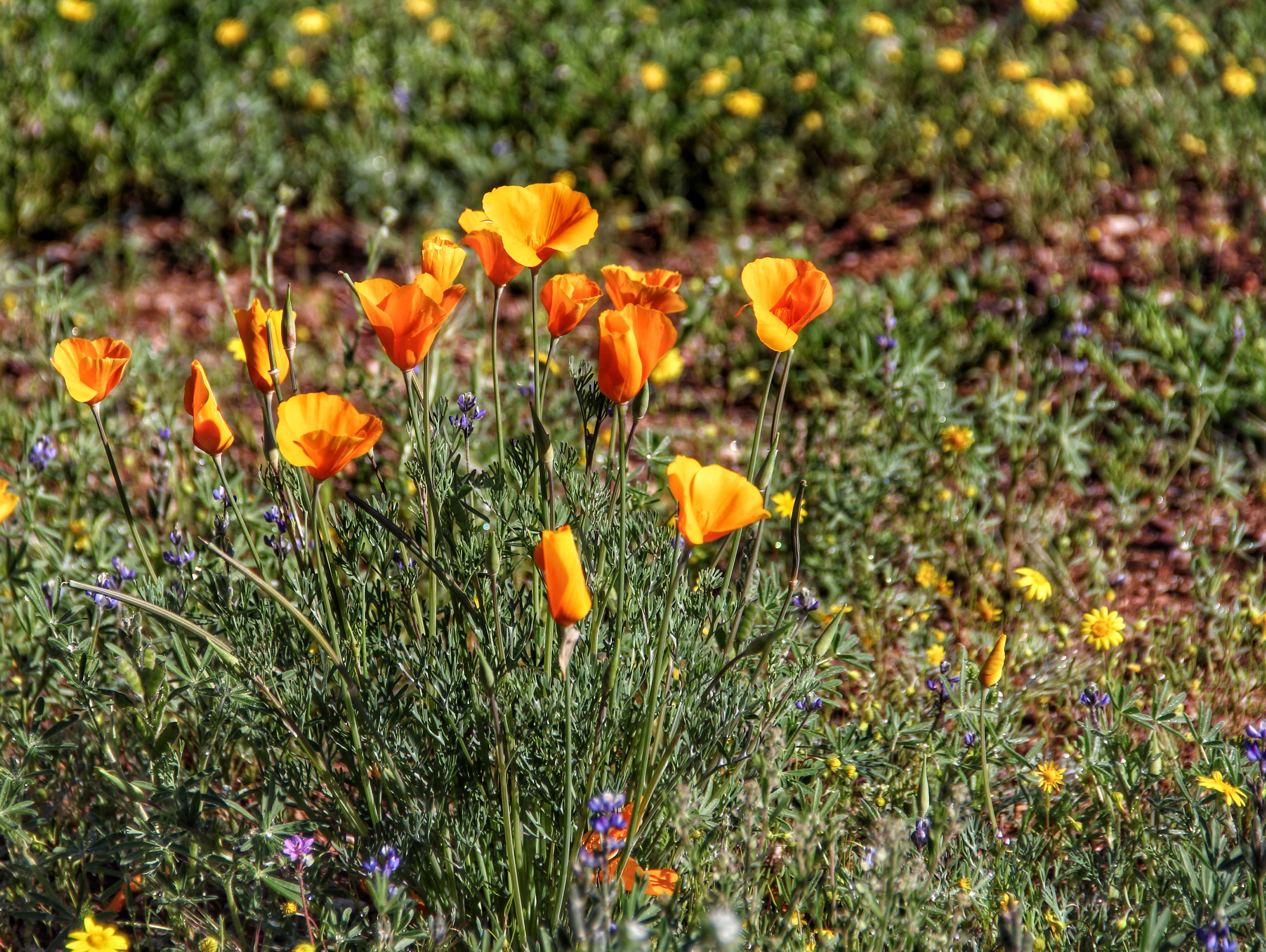
The poppies seem to like neighbors.  See how many different kinds of flowers you can find in the photo below!

image


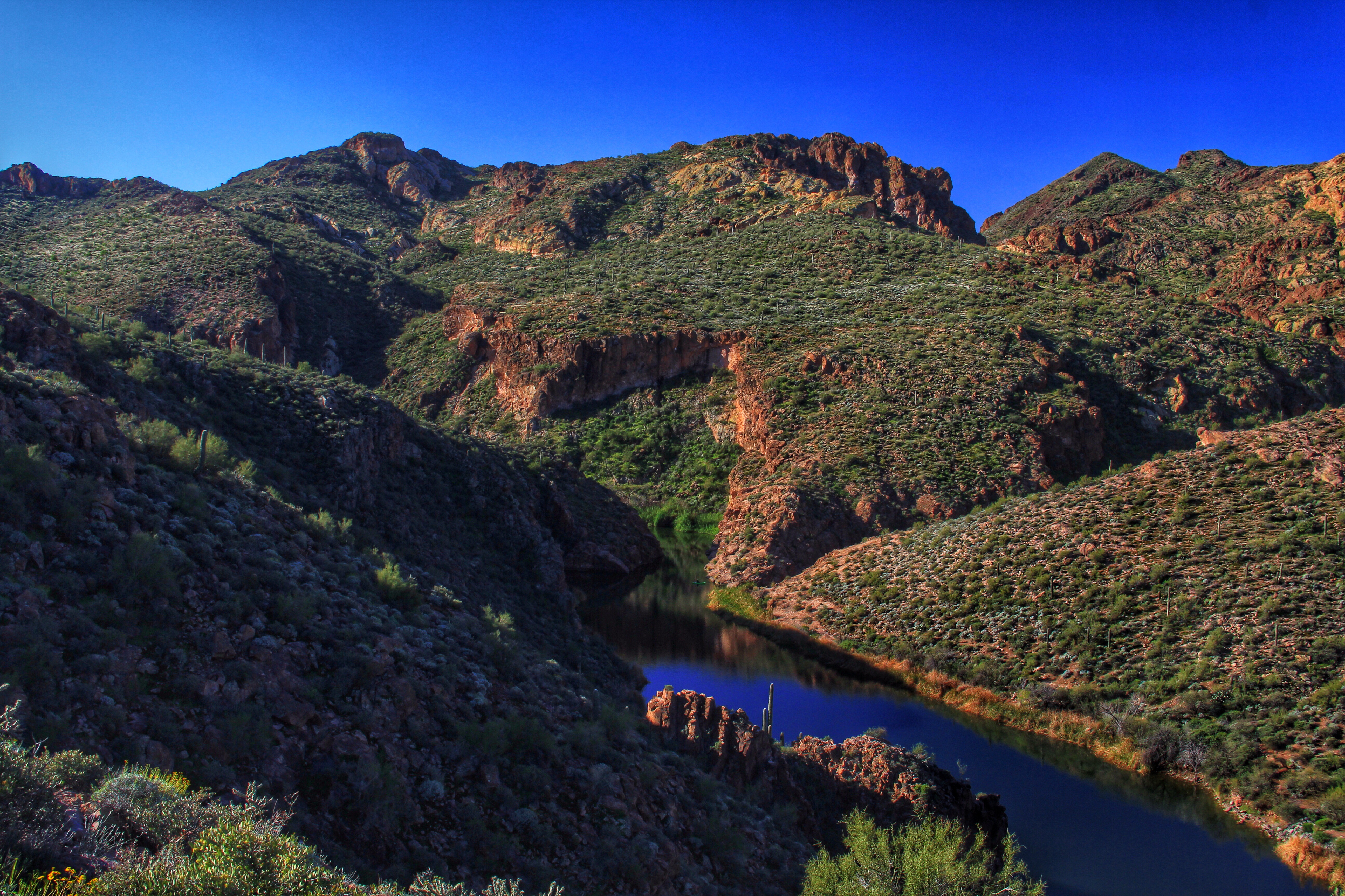
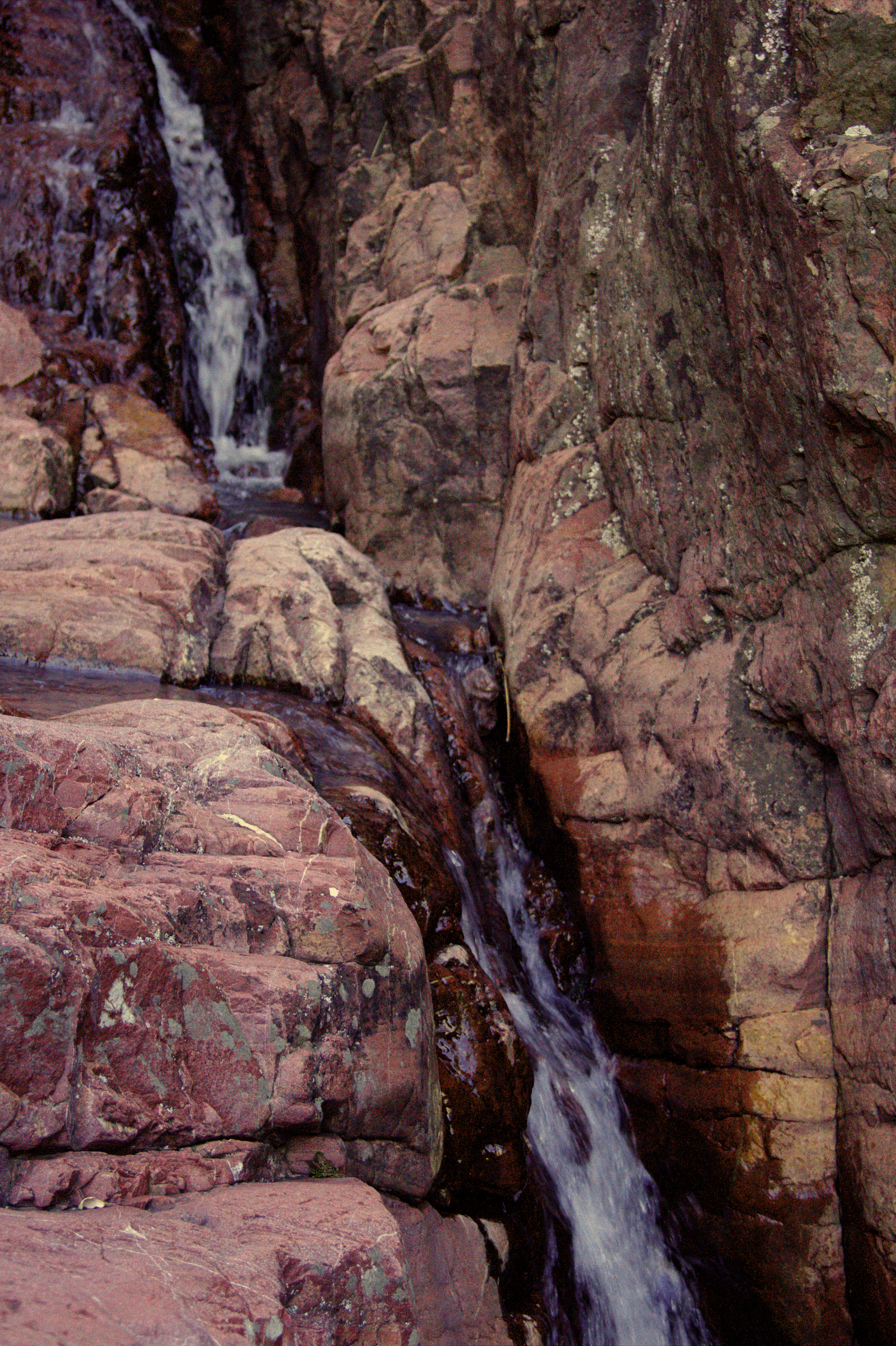
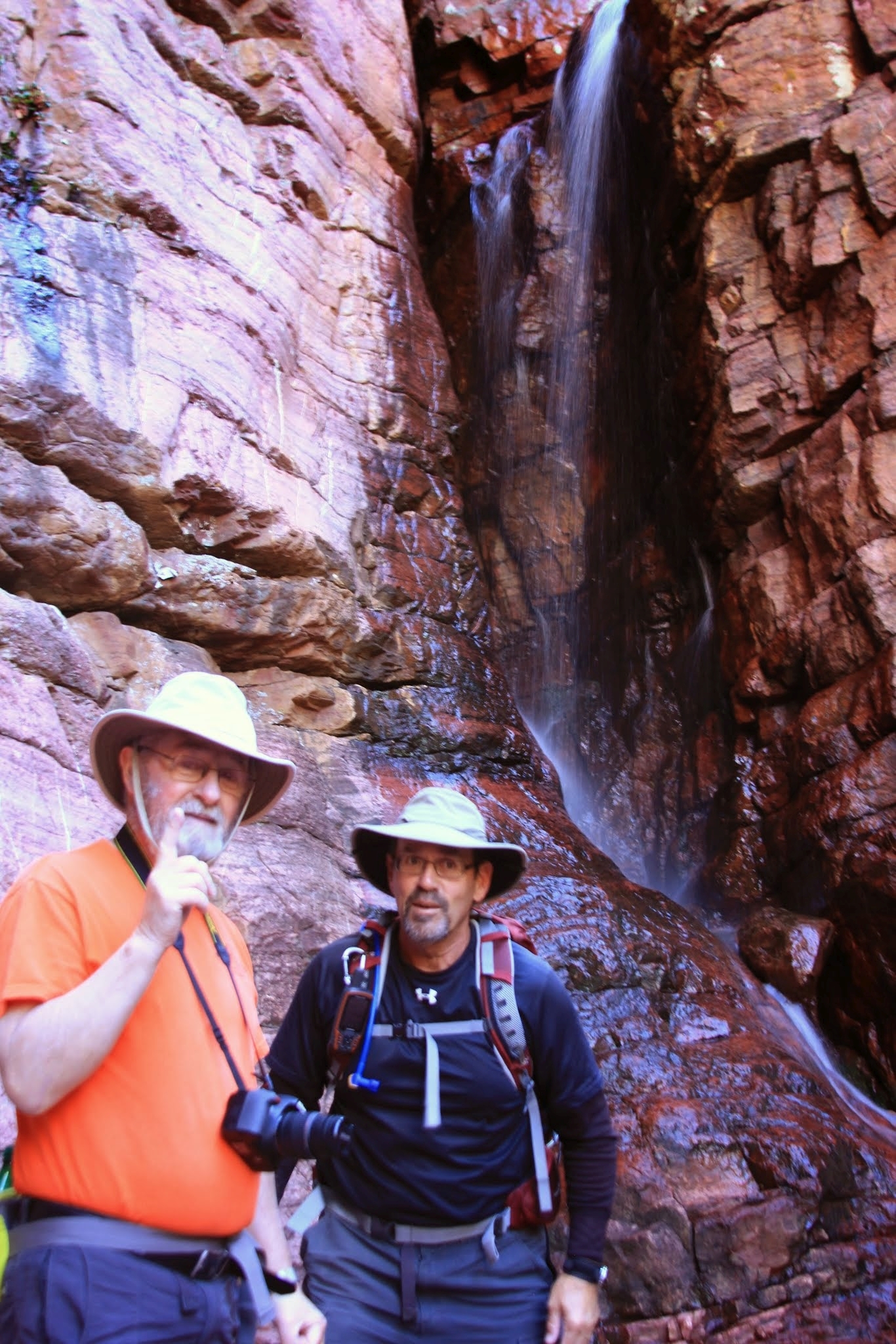
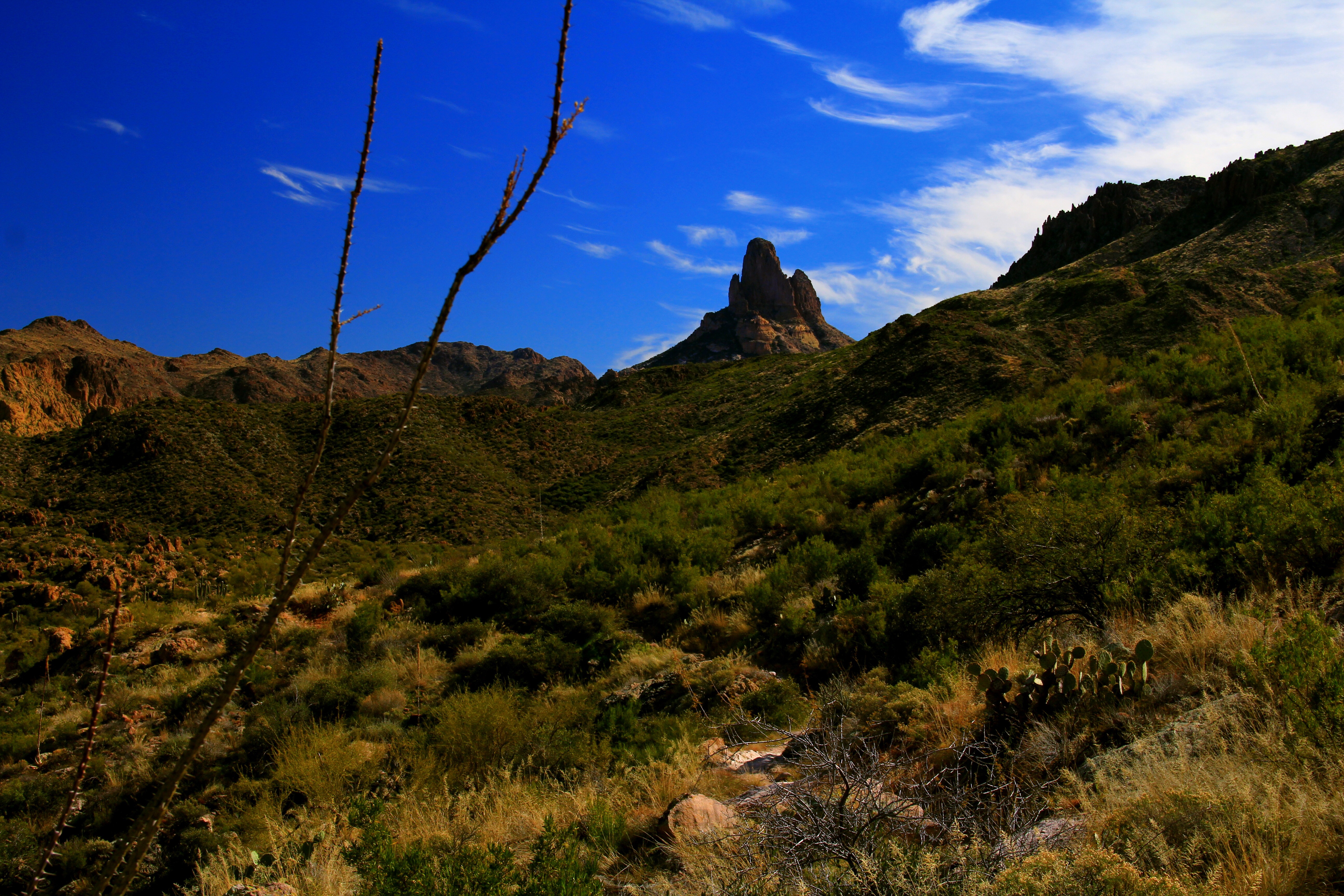
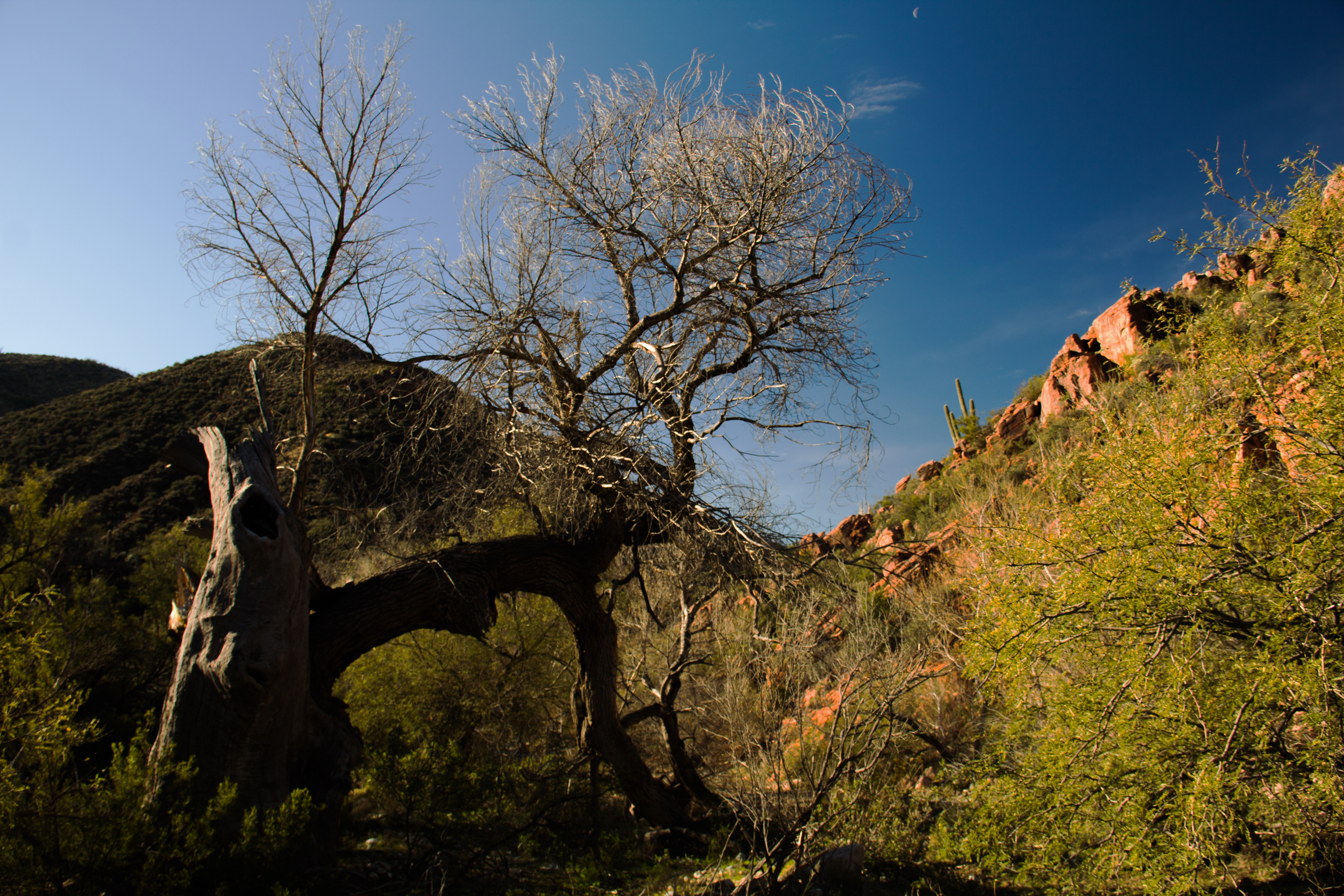
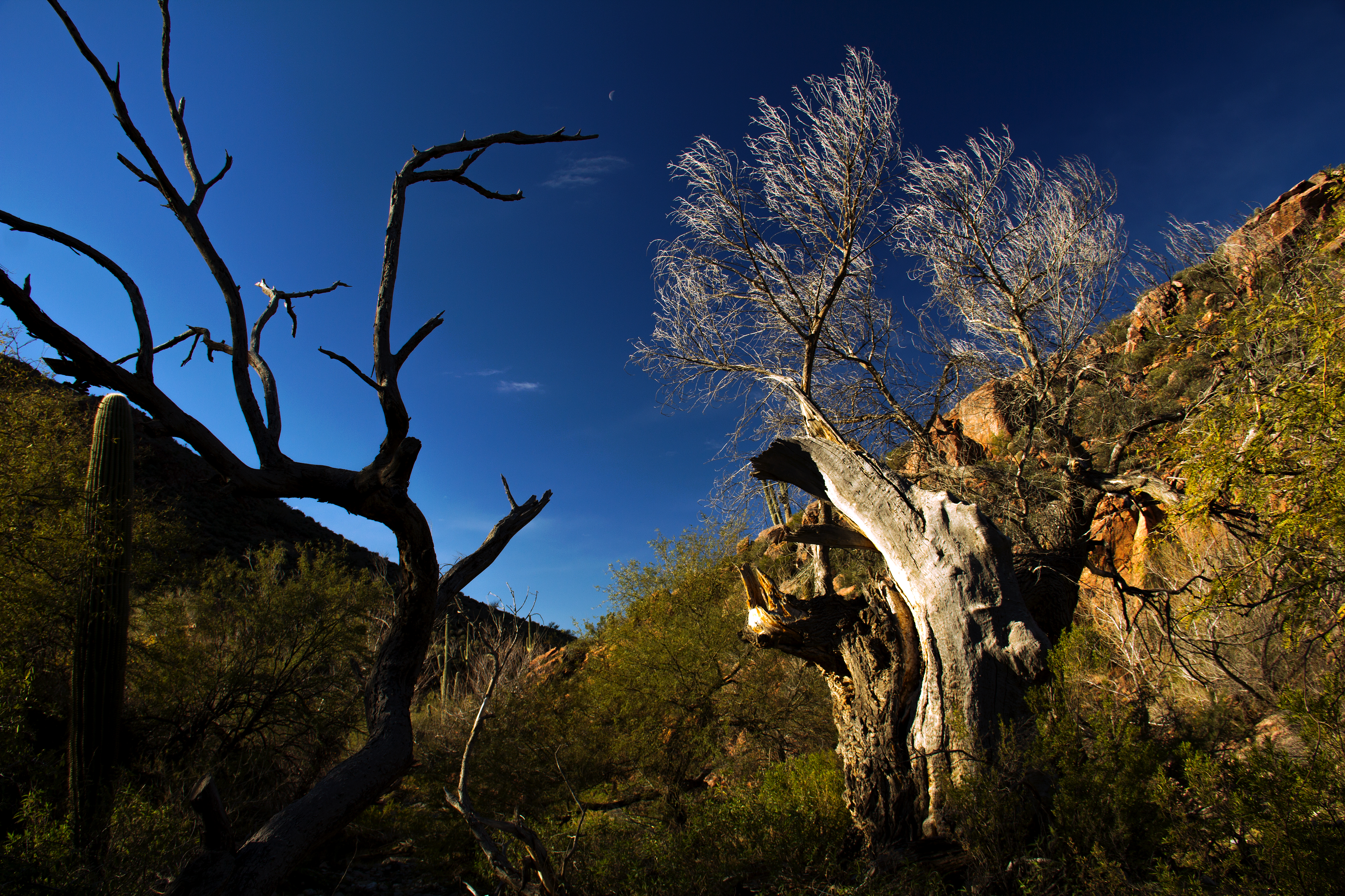
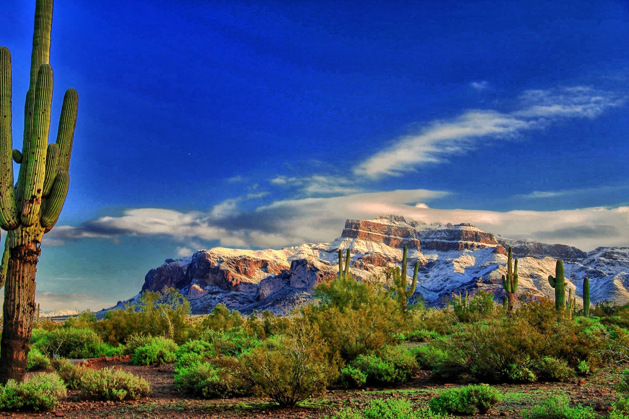
Dropping down off the ridge, the remainder of our hike was along a rolling trail, always quite close to creekside.  To remind you, here’s a repeat of my opening scene.  The sound of this brook was a constant companion for the remainder of the route.

image


Near the creek the flowers weren’t quite as showy as the ridgetop, but still beautiful.

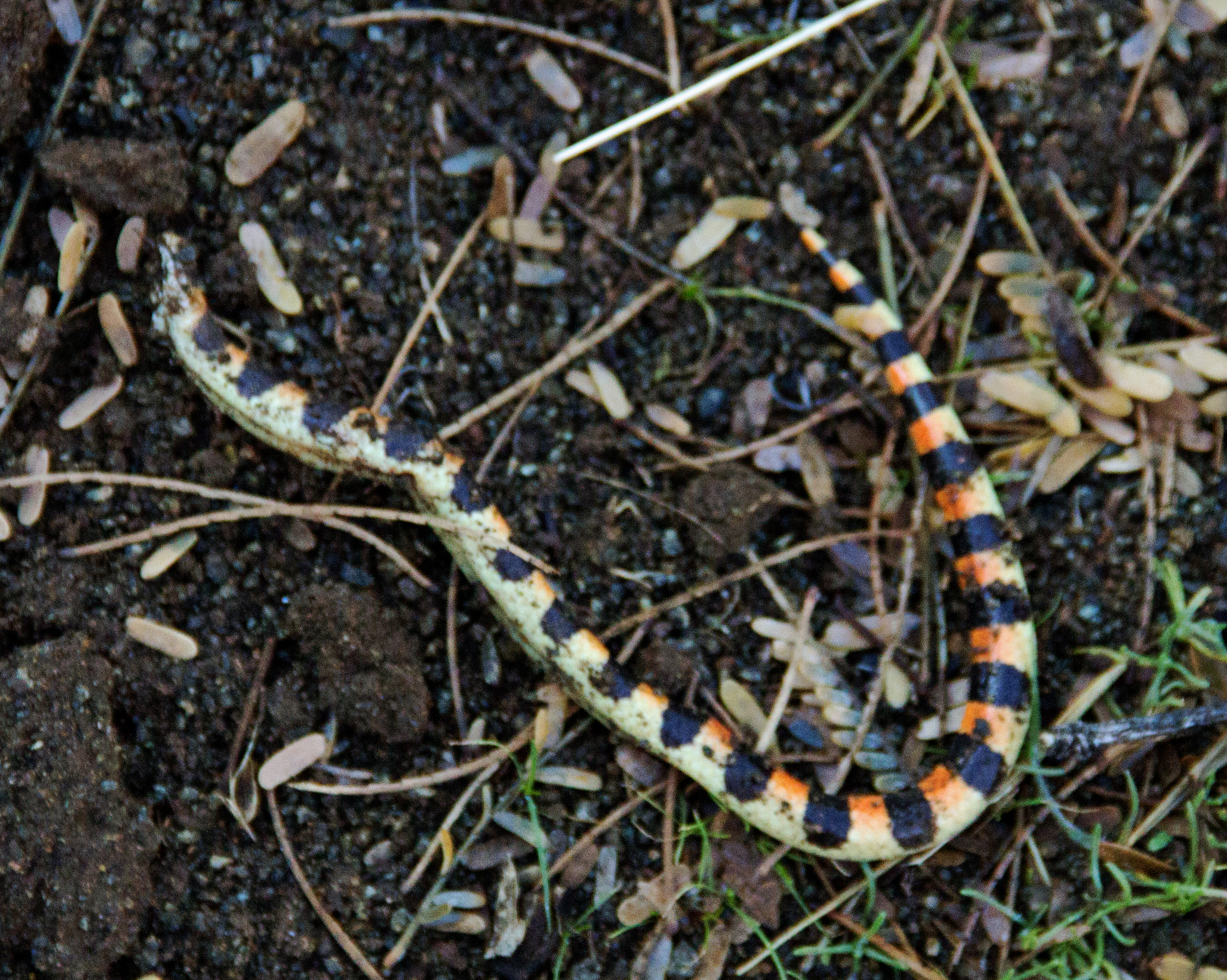
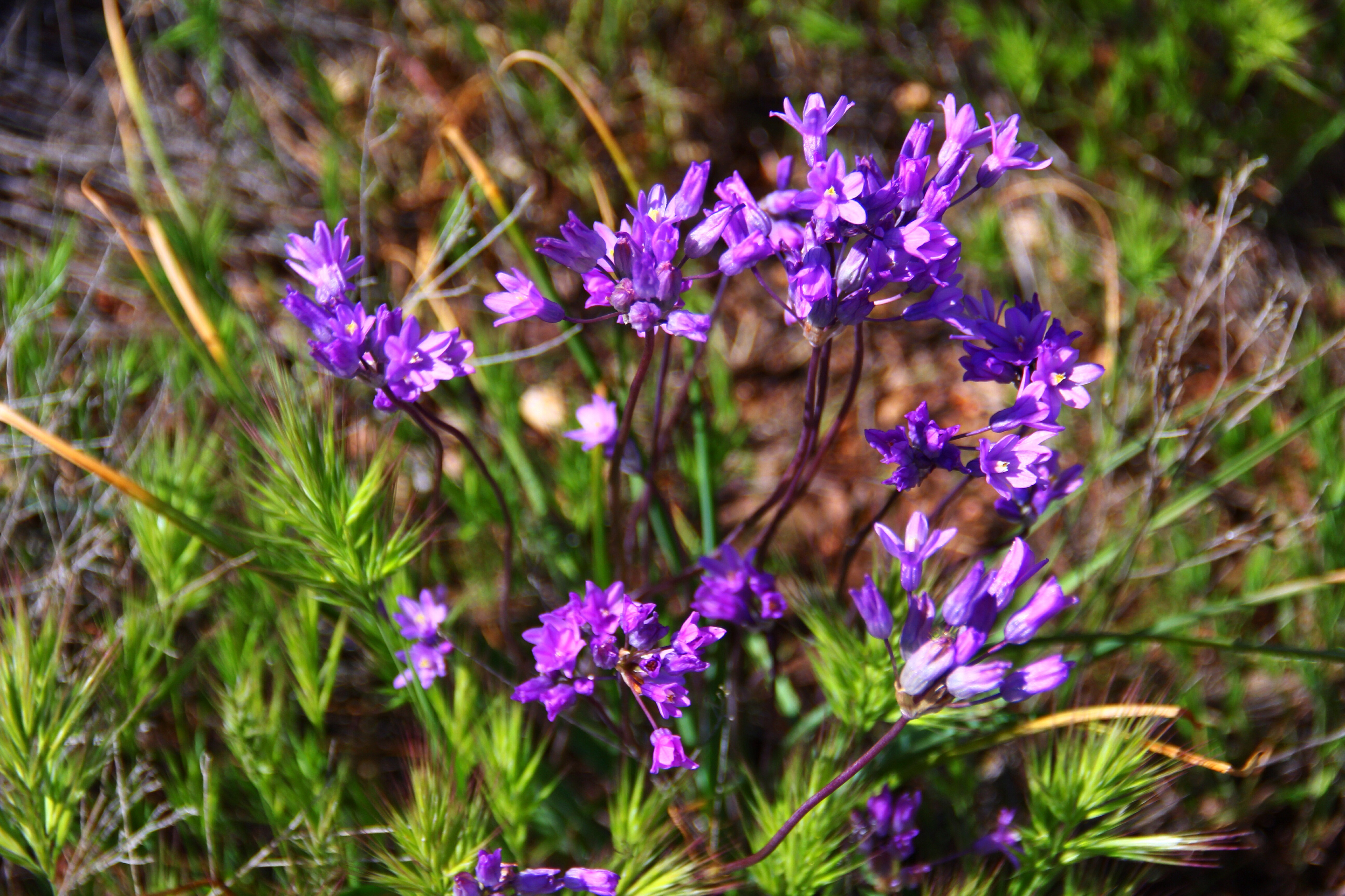
The Bluedick were everywhere (in the creek bottom as well as the ridgeline.)

image


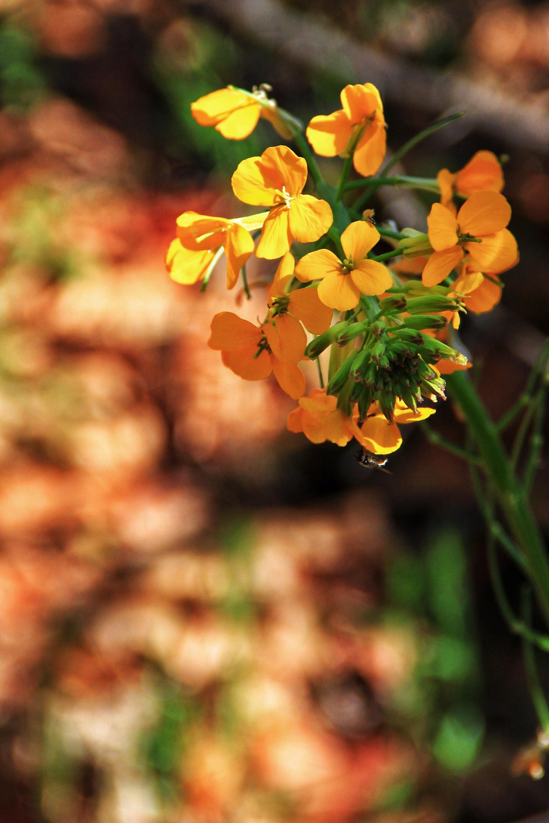
The names of the flowers in the next photos are unknown to me.  (Feel free to educate me!)

image


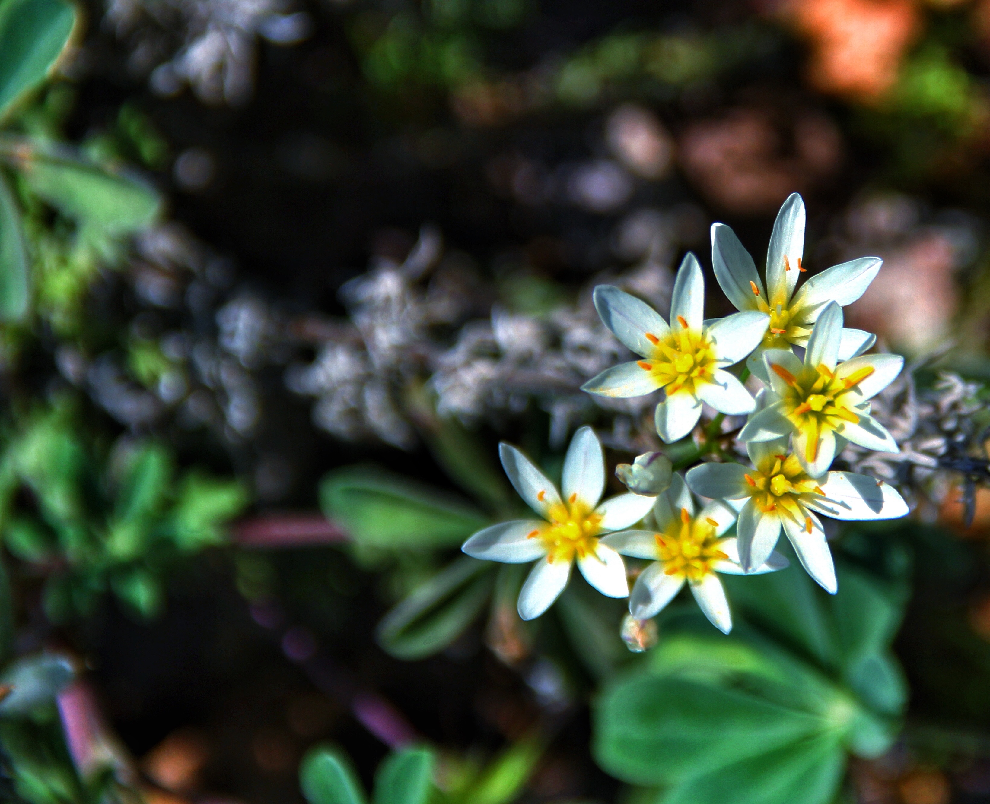
This little “daisy-like” flower grew profusely, about 3/4-inch across.  Just the right size for that miniature half-inch butterfly!

image


Saw several isolated specimens of this yellow/orange flower.  The cluster of flowers is about 3-4 inches across, and sits atop a tall 18-24 inch stem.

[Edit:  I’ve found that this is a “Western Wallflower”.  I always thought that wallflowers were shy and quiet!]

image

image

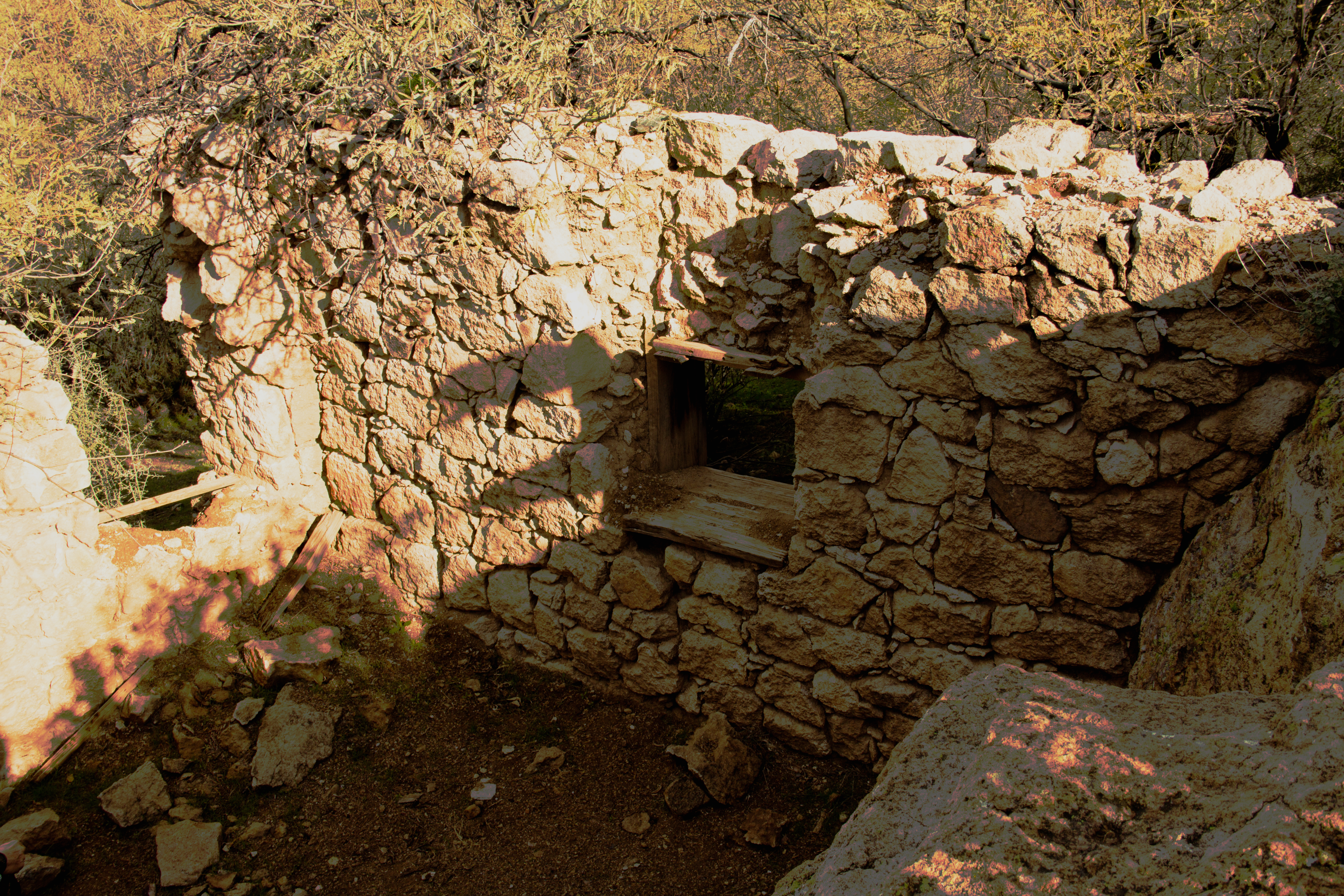
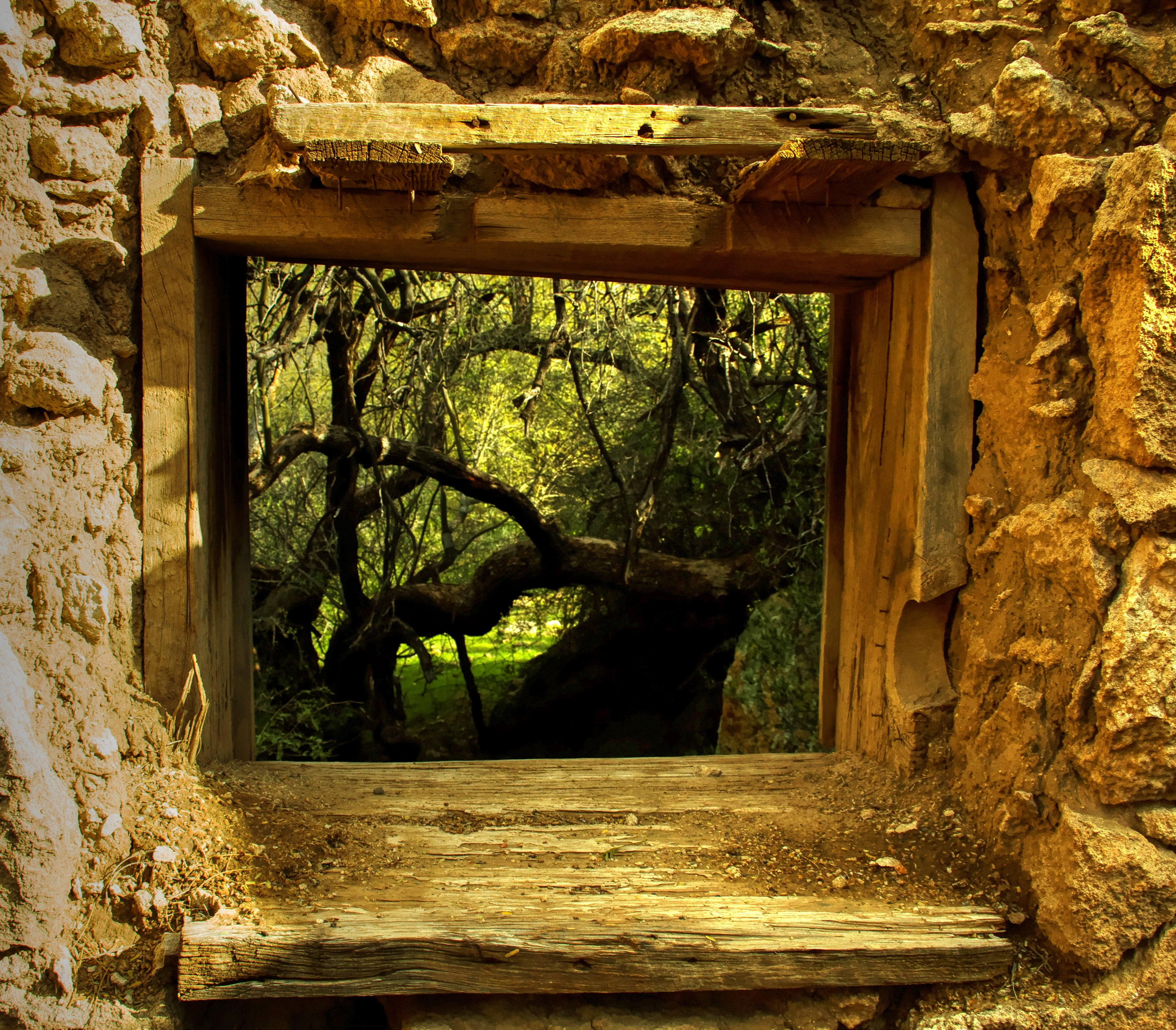
One somber note.  Along a quiet section of the creek lies this old grave, final resting spot of a Scottish fellow, a deserter from the British Navy, who lived a long and adventuresome life before lying down here in this remote spot.

You can read about old Dave at the link below.

http://www.paysonroundup.com/news/2008/jun/10/the_grave_of/

image


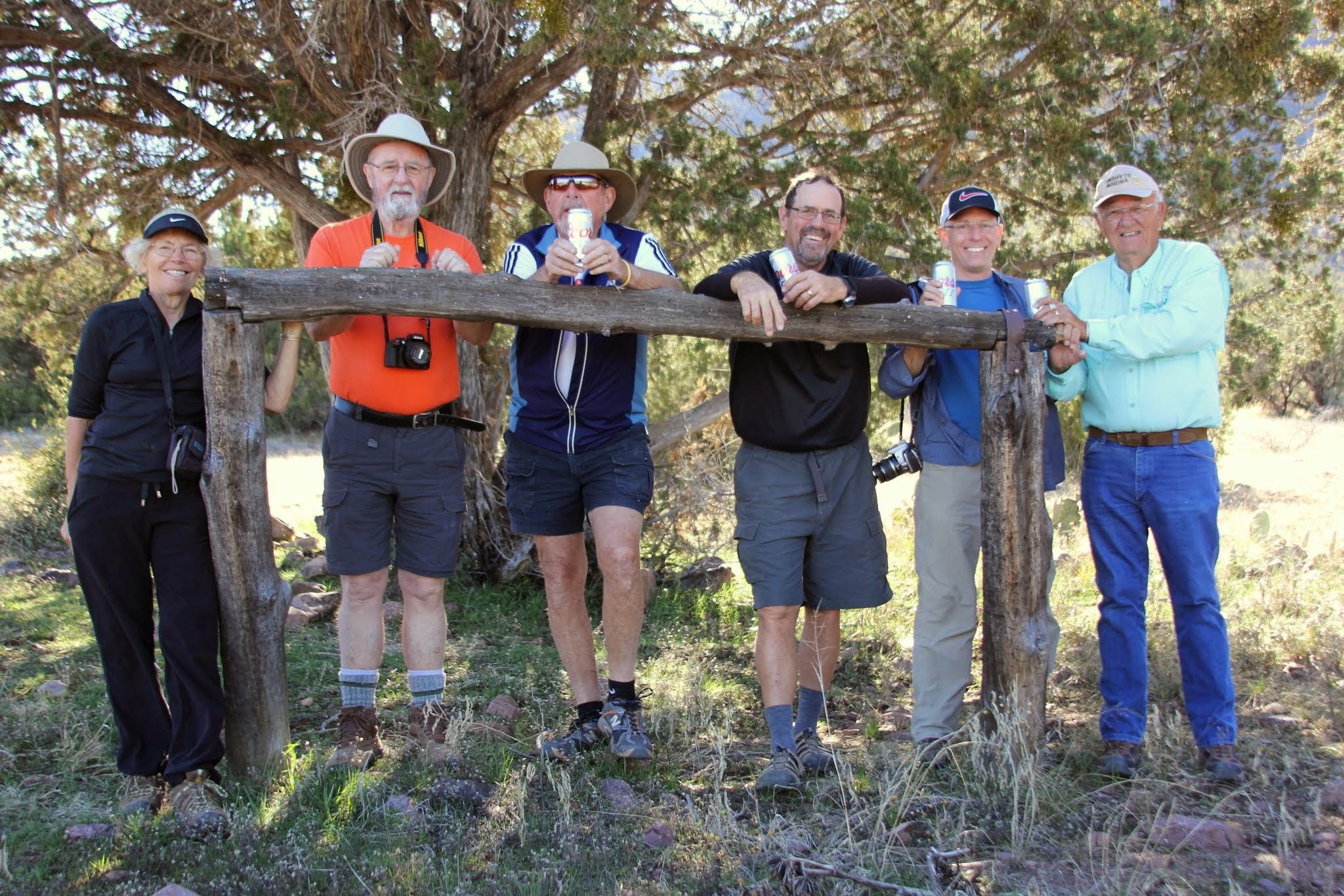
Our lunch spot for this hike is at a shaded crossing of the stream, where everyone found a comfortable rock to sit on, and some removed their footwear and soaked there feet in the cool stream.  After lunch, we retraced our steps over the route described above.

image


Posted in Arizona hiking | Tagged , , , | 3 Comments

Boulder Canyon Trail – Love and Hate


I love it!

Because the Boulder Canyon Trail from the marina to the Battleship Overlook is perhaps the shortest route available to see the rugged grandeur of the interior of the Superstition Mountains.

But I hate it!

Because the hike starts with an immediate leg burning climb up a non-descript hill ridden with false crests and blessed with no shade at all.  It’s a tough climb, but the rewards ahead are great, so just “do it”!

Boulder Canyon Overlook Map


Boulder Canyon Overlook Elevation

Overall the hike was about 5.5 miles with under 1,100 feet of accumulated elevation gain.

Leaving the trailhead you get some nice views of Canyon Lake and a flooded portion of LaBarge Creek near the lake.

image

image

Once you gain the top of that pesky hill the route becomes an easy hike over rolling terrain with great views in all directions.

This view to the north shows a volcanic eruption of the Four Peaks.  Well, actually not, but the first glance gave a pretty good imitation!

image


Here’s a wider view to the east.  The road at the right of the scene goes around a corner and then down to Tortilla Flats.  Beyond that, the picturesque drive out to Roosevelt Dam.

imageToward the southwest is the familiar profile of Flatiron.

image


And to the south our first peek into the interior.

image


Brittlebush flowers were everywhere along the trail.  The few earlier dismal rainy days are paying off in great promise of color this spring.

image


Somehow an agave plant in the foreground lends depth and class to a photo, don’t you think?

image


Another view to the south, a little further along the trail.


image


Our turnaround point/lunch-stop on this hike is a high cliff-edge vantage, about 900 feet above Boulder Canyon.   The view is breath-taking, no matter how many times I come here.  (See below)

The (dry) streambed below is LaBarge Creek.  At scene-center, the formation with the severe cliffs is Battleship Mountain, here seen looking at the port bow.  It looks much more like a ship when seen in side profile.  Peeking around the stern is Weavers Needle.

image


It really is a great place to rest your legs and take in the view.

As an aside, in this scene the “tame looking” area across the canyon is the vicinity of Garden Valley which we traverse on some hikes out of First Water trailhead.  A small contingent of our crew were dropped off at First Water and hiked across from there.  They joined us at this overlook and hiked out with us back to the Canyon Lake trailhead.  I was tempted to join them, but the 900-foot climb out of the canyon was a dis-incentive.  In retrospect, that’s only 300 feet more than the slog up in that “I hate it” whine at the start of this post.

Next time!


Boulder Canyon Overlook 060


Did you ever wonder how Katie always seems to finish hikes so far ahead of most of the rest of us?  She just hangs on tight and tells this guy that there’s a treat back at the car!

image


After lunch, we retraced our track back to the lake.  A few of us took a shortcut down a steeper track from the early hilltop, cutting perhaps a half mile off the return.   You can see the difference in the track and elevation charts at the top of this post.   Good way to come back, but I wouldn’t relish climbing out over that track.

image


Posted in Arizona hiking | Tagged , , , , , , , , , | 6 Comments

Four Peaks – Looking Down on the Supes


imageNorth of the Superstitions lies another range of mountains, called the Mazatzals.  The Superstitions seem to get all the attention and publicity, perhaps because of their “mysterious” name and the legend of the Lost Dutchman Gold, but for size, diversity, and beauty the Mazatzals win my vote.  The southmost end of the Mazatazals is Four Peaks, pictured above.  Is it 4 mountains, or 1 mountain with 4 peaks?  Beats me, but it’s an impressive place!

On Friday ten CVHC hikers tackled the trail to Browns Peak.  It is the tallest of the 4, reaching an altitude of 7,657 feet, and is the leftmost peak in the picture above (in the photo it might appear shorter, but it is set back, so is shortened in perspective).  From a distance it is impossible to visually imagine how to approach this mountain, and getting to the trailhead was an adventure in itself.  Leaving highway AZ87 on Cline Cabin Road, we traveled 20 miles on a very rough slow route climbing almost 4,400 feet to the Lone Pine Trailhead.  Average speed was perhaps 8MPH, as it took somewhat over 2 hours to negotiate.  High clearance vehicles are a MUST for this road.

FourPeaksRoadMap


FourPeaksRoadElevationThe trailhead lies in the notch to the north (left) of Browns Peak.  Nice trailhead with room for 20 or more vehicles.   Browns Peak is about a 3 mile hike from here.

BrownPeakTrailMap

BrownPeakElevation

We didn’t hike to the very tippy-top of the mountain, a very forbidding place as seen in the shot below, but to a saddle about 800 feet below the summit.  This photo is taken from that saddle, and the trail actually DOES continue to the summit but borders on mountaineering, not hiking.

imageI’d classify this hike as a moderate physical effort.  It’s not very long, and the accumulated elevation gain is only 1,100 feet, so it would seem easy, but the starting point is well over a mile above sea level and goes up from there.  To this Minnesota flat-lander, the thin air made my legs noticeably slower!  On the plus side, the altitude also meant cooler temperatures, in the mid-40’s, a blessing when working hard to reach that next flat spot in the trail ahead.

The early going in the hike is in a fire-damaged forest of Ponderosa pines.  A fire (human caused) occurred here in 1996, and mother nature works slow at this altitude, so a lot of the damage is still very evident.  Even so, the scenery is gorgeous and the trail tread is good, so “walking and gawking” is the order of the day.

image


image

image

image


image


At one point we noted this curious white powder substance along the trail (see below).  One hiker recalled that she had made men out of larger quantities of this substance when she was a child in the Dakotah Territory.  Odd story, don’t you think?  We passed on by, as the substance seemed harmless.  One hiker put a sample in his backpack to examine back in camp, but when we got back to the trailhead it had somehow escaped from the backpack, even though it was tightly zippered shut.

image


This stone “head” was a popular “stop and take a picture” attraction.

imageAs we gained altitude the pines disappeared and were replaced by smaller junipers, manzanita, and other shrubs.

As mentioned earlier, the turn-around point for our hike was a saddle just below the peak.  Here the views were stupendous!

imageThe scene above is the view looking southwestward from our lunch spot.  The formation at the top center is our familiar Flatiron and to the left of it, “Peak 5057”.  From our vantage almost 2,000 feet above them, their usual grandeur fades a bit.

imageIn this scene, looking northwesterly, the San Francisco Peaks at Flagstaff are visible on the horizon, just left of the dead tree.

image


Looking to the east (above) into the Tonto Basin, Lake Roosevelt is seen at mid distance.  To get some “scale”, the near shoreline of the lake is about 15 miles away.  Just beyond the lake lie the Sierra Ancha mountains, and at the horizon are the White Mountains up at Show Low and Pine Top.

Below is a view looking westward.  A portion of our road is at center-scene.


imageAfter our lunch/photo break we left the saddle with the thought of “wouldn’t this be a great spot to photograph the sunset and a following sunrise” as we ambled back downhill to the trailhead.

Our trip back down the mountain was by a less harrowing route.  Turns out that there is a shorter (10 mile vs. 20 mile) route down the eastern side of the mountain to AZ188 north of Tonto.  It is much steeper, but in amazingly good shape.  A road grader had recently maintained it, and you could drive it a low-slung sports car.  I imagined driving driving it in my (long gone) ’62 Corvair Monza 900!  We were down the mountain in less than a half hour.  Even though it added another 40 miles or so on the blacktop, it was still much faster than our inbound route.

Yes, I recommend this hike highly, especially on a hot day (take the eastern road up to the trailhead).


Posted in Arizona hiking | 4 Comments

Reavis Trail Canyon trail


Or…….

“Hiking on the path Elisha trod” 

reavisphoto

No, the title isn’t a mistake.  Yesterday (Friday 2/20) small group of CVHC hikers, led by George (no relation to the gent above, although the resemblance is striking) hiked in Reavis Trail Canyon.  Many of our trails are named after canyons (Barnhardt Canyon trail, Boulder Canyon trail, Peralta Canyon trail, etc), but in this case the canyon Reavis Trail Canyon is named after a trail, and then of course the trail is named after the canyon, thus Reavis Trail Canyon Trail.

Back in the late 1800’s, a fellow named Elisha Reavis (that’s him above) left a failed marriage in California, wandered into Arizona up around Prescott and the Bradshaw mountains for a while, then squatted on a chunk of land in the Superstitions on the north side of Montana mountain.  Here he carved out a farm where he grew apples and vegetables which he carried out of the mountains for sale in Florence, Mesa, and Phoenix.  The canyon we hiked was a part of his trail to market, thus the name “Reavis Trail Canyon“.

So there!

You can read more about this old hermit at http://thewyants.com/hikes/rogers/reavis.htm

(There’s a separate trail, about 12 miles round trip, out of Rogers Trough trailhead which takes you out to his old farm.  Maybe CVHC should consider this as a spring project?)

The trailhead for our hike is located along FR650 (the road up the “back” side of Montana mountain) but there is no parking at that point, so we parked our vehicles about a half mile south of the trailhead, hiked up the road and then down on to the trail.   From this point we hiked around 3.5 miles up the canyon and returned.

Parts of the road are also a stream bed!

3-1

7-1


This trail is a segment of the Arizona Scenic Hiking Trail (AZT) which stretches from Mexico to Utah, and is under the care of the nonprofit Arizona Trail Association.  (Shameless plug:  If you hike in Arizona you really should consider support with at least a basic membership — their website is at http://www.aztrail.org  ).

Characteristic of the AZT routes, this route had generally excellent footing, and was generously cairned at stream crossings and other places where the path might be vague.

40-1


41-1


While a tad long to be called an “easy” hike, the overall elevation gain was perhaps 300 feet or so, and with nice footing conditions this was not at all difficult.

Much of the trail paralleled a small stream with light water flow. This environment is always interesting for the variety of plant life and animal life.  Here a specimen of the species “lonesumus-georgeus mountain hominid” is seen sitting along the stream contemplating it’s next adventure.

26-1


The most common flower we encountered were the delicate blue dick.  Usually quite solitary, at one point there was a small meadow which must have been “just right”, because there was quite a colony of them there.

50-1

60-1


A few examples of the Arizona Sycamore grew along the stream.  The bark always reminds me of an Army camouflage pattern.

31-1This canyon is an ideal place to graze cattle, with available water and lots of vegetation. (We saw a lot of cow tracks and other “evidence” of current bovine occupation)   This old stone corral looks like waaaay too much work to me.  Why didn’t they use bobwaar (barbed wire) instead?

12-1


It was a nice hike, and the elevation gave us cool temps on a warmish day down in the valley.


ELISHA REAVIS by Daniel K. Statnekov

Near the bottom of a path
In the jagged Superstitions
Is a cairn upon the grave
Of a man known by tradition

It’s set within a tiny plot
A few steps from the trail
Marked by a rough-hewn headstone
Made from the mountain shale

Faintly scratched and barely legible
Onto the piece of slate
The name “Elisha Reavis”
And beneath it was the date
“1896”

It was in the 1860’s
When Elisha climbed those hills
And found a mountain meadow
That slowed his step to still

So he paced off sixty acres
Filed papers to homestead
He was miles from any neighbor
He was hermited – unwed

But the life he lived fulfilled him
As he set about his task
Fenced and cleared the meadow proper
Saw the deer in sunlight bask

Delighted in the pure, clear stream
That ran across his land
Planted fodder for his cattle
Seldom saw another man

Ponderosa kept him company
Manzanita gave him art
Rarely heard, the cougar’s high-pitched scream
Would penetrate his heart

And one dark winter evening
He turned his thoughts to Spring
Resolved to plant an orchard
Looked toward the blossoming

So when the snow had melted
And the days were warm again
He planted sapling apples
Alongside his staple grain

Then he turned the stream of water
To sustain them through the heat
When the summer sun was burning
And the green was in retreat

He trees survived the seasons
And he saw them rooted well
In the Springtime there were blossoms
In the Fall the apples fell

The seasons passed for Reavis too
And finally he died
While walking upright on the trail
Along the mountainside

And though his grave is in a place
Few men will ever see
Each Spring his apples blossom
To perfume his memory


Posted in Arizona hiking | 2 Comments

Barnhardt Canyon — Hiking with Chris


Last Wednesday, Feb 11th, was a special hike in more ways than one.

(Photo courtesy Deb Kirke)

(Photo courtesy Deb Kirke)

Our youngest boy, Chris, came down to Arizona for a few days visit last week.  In the time available we did all the usual stops to show off our adopted winter home.  A drive down to Tortilla Flats, a visit to the Greek Orthodox Monastery of St. Anthony, tour of Casa Grande ruins, a couple authentic Mexican restaurants, and a drive up to the ruins at Tonto.

But high on my agenda was a desire to show off the back country and share my love of Arizona hiking with him.   One of my favorite hikes is the route to the waterfall grotto at the head of Barnhardt Canyon.

167-1

This is a beautiful hike in the high country of the Mazatzal Wilderness.  Usually this trail can be impassable this early in the year due to snow and ice, but we’ve had a stretch of mild (low-mid 80’s) weather, so the trail was clear and dry, the the temps up there Wednesday were ideal for the hike (50’s/60’s).

Depending on whose GPS you believed (we had three) the total (in and out) hike was either 6.0, 7.35, or 7.98 miles.  Since I’m writing this report, I declare that we hiked 7.98 miles.

ElevationBarnhardt

BarnhardtMap


The trek up the canyon can only be described as gorgeous!  Due to the elevation, the usual saguaro cactus seen on most of our hikes is replaced with alpine vegetation like holly, juniper, mountain pinion, and some (fallen due to fire) ponderosa.  Even so, one “desert” plant, the agave, seems to thrive in this canyon.  We saw some really great examples along the way.  This example, next to an alligator juniper, gets bigger everytime that I’ve been up here.

62-1Here Chris poses on an overlook next to another nice one.

111-1

I’m a sucker for weathered old trees.  Chris caught this shot which I like a lot.

(Photo courtesy Chris Brakob)

(Photo courtesy Chris Brakob)

Below are some others along the way.

096-1


161-1


OK, a geology lesson.  One of the unusual features of this hike is a geologic feature called synclines and anticlines.  It is seen on the cliff walls in many places along this hike, and is the result of two opposing (crushing) movements of the crust of the earth during the mountain-building process, resulting in accordion-like folds in the rock structure.  Here’s a drawing I googled up, followed by some photos from the hike.

Antecline_(PSF)

In this shot the feature is seen near photo-center, just above the sunlit slope.

017-1

Here’s a shot across the canyon on another slope.  Note the repeating pattern all the way up the canyon wall.

162-1

Below is a zoomed in shot of a segment of the scene above.

163-1

Some more shots along the way up the trail.

140-1

078-1


73-1


The “destination” and turn-around point for this hike is a series of two waterfalls hidden in a grotto off the established trail.  The tip-off is a pool of water along the trail, fed by a little babbling stream.  A short trek off the trail, some clambering over rocks, (thanks, Dana, for the steadying hand) and you’re inside a vertical red-rock grotto about 100+ feet tall, with a waterfall merrily splashing from the rocks far above.

Here Chris prepares to take a photo of the falls.

128-1

A view of the lower segment of the falls, feeding a pool at the base.

112-1

Here I tried a wider view to capture then entire falls, top to bottom.  Didn’t work!  A portion of the top and of the bottom are missing.

117-1


Here we see Frank admonishing us “Don’t you guys tell ANYONE about this place!” (Photo by Debbie Kirke)


IMG_1027

Frank and I contemplate a route up, while Dana comes down telling us “No WAY!”.

(Photo courtesy Debbie Kirke)

(Photo courtesy Debbie Kirke)

After a long break admiring this find, we hiked back down canyon the same way we came up.  Here is a Class Picture of our merry crew (less Debbie, the photographer) assembled back down at the trailhead.  Chris says this hike was the highlight of his trip to Arizona. Thanks to all who made him feel so welcome, and for not telling too many “Hans stories” in his presence!

(Photo courtesy Debbie Kirke)

(Photo courtesy Debbie Kirke)

Posted in Arizona hiking | 7 Comments

Black Mesa Loop


image

On Friday we hiked the Black Mesa Loop out of First Water trailhead.  This is stitched-together route consisting of segments of the Second Water trail and the Lost Dutchman trail, connected by the Black Mesa  trail to form the loop.  My GPS pegged it at 9.74 miles with about 1077 of total elevation gain.

image

The first segment of the hike is a modest ascent on Second water trail to Garden Valley and the junction with Black Mesa trail.  Then another modest ascent to the top of Black Mesa.

The environment to this point in the hike is fairly open, with great views of the “backside” of the western Superstition to the south, and the Four Peaks wilderness to the north.

In the photo below the mountains on the horizon are the Flatiron and environs.  The light colored “ramp” in mid-scene is the Massacre Ground overlook.

image

This scene looking northward is towards Four Peaks.

image

And another view towards the Flatiron.

image

The south end of Black Mesa trail drops rather abruptly into a basin at the confluence of West Boulder Canyon and O’Grady Canyon.  This descent is a favorite spot of mine, yielding an awesome vantage to the interior of the wilderness, guarded by Weavers needle in the distance south.

image

The remainder of the hike is westward through O’Grady Canyon, up over Parker Pass, and back to First Water.

The scenery this canyon is reminiscent of John Wayne movies with stark sandstone cliffs, large boulders (watch for Apache ambushes), and big skies.

image


image


This hike, like many others, traverses the heart of “Lost Dutchman Mine” country.  For you back-home folks who would like an introduction to the legends we walk among, tune in the History Channel on Frbruary 8th.  See this link —> http://www.broadwayworld.com/bwwtv/article/History-Channel-to-Premiere-LEGEND-OF-THE-SUPERSTITION-MOUNTAINS-28-20150123


Posted in Arizona hiking | 5 Comments

Wave Cave


Today Jim Hardy led a group of us on a hike new to almost everyone in the club, a 4-mile (2-in, 2-out) trek to a cave on the flanks of the Three Sisters formation in the Superstitions.  You won’t find this hike in any of the “official” places, it is basically a detour off the Carney Springs trail.

I first heard Dana and Deb Kirke talking about the “Wave Cave” a couple years ago, and being an old Sailor, of course my ears perked up.  Back in the day, “Wave Cave” was the nickname of building B30, the barracks where the lady Sailors lived on the Norfolk Naval Station.  Turns out this is an actual cave, not at all what first came to my mind.  Oh well.

The photo below taken at the trailhead shows the formation known as Three Sisters.  Our destination (the cave) is about midway up the right side of the formation.  Just below the right peak, about half-way down the photo is a light colored horizontal strip — this looks like an “eyebrow” over the cave.

35-1


Here is a zoomed in view of that area.  From this vantage the sandstone formation just inside the cave looks like a VERY large white bear.

69-1


As mentioned earlier, this is not an established hiking route.  Once you leave the Carney Spring Trail, the route is not always well defined (you’ve all heard of the Lost Dutchman — ask me sometime about the Lost Dutchwoman) and the last third mile is something of a “scramble”.  Total elevation gain from the trailhead to the cave is around 900 feet.  About 500+ feet of that is in the last half mile.  It is not overly difficult, but it calls for good boots, hiking staff(s), and careful attention to your footing and balance, especially when descending on the return trip.  Don’t let me scare you off, but this is a “steady as you go” piece of footwork.

Map

As you reach the cave, the “bear” seen from afar now resembles an ocean wave, thus the name “Wave Cave” the Dana and Deb attached to this place.  The interior of the cave is quite large, I’d estimate 2 or 3 times the size of the Canyon Vista ballroom.  It would seem that it would have been a good dwelling place for the Indians who build many structures in caves all around the Superstitions, but I didn’t seen any evidence of that sort of occupation.

Wave Cave 080


From a vantage inside the cave, the “wave” is even more convincing.

107-2


Some of us couldn’t help striking a “surfer” pose!

085-1

The wave also served as a good spot to eat our lunch and enjoy the long-horizon views below.

088-1


Put this one on your bucket list, but pick a cool day.  That last leg of the climb will drain your water reserves quickly on a warm day.


Posted in Arizona hiking | 8 Comments

Red Rocks and Mud – Whitford Canyon


Last Wednesday (after the Tuesday rainstorm) Botany Bob led a group of us on a pretty hike at Whitford Canyon.  Half the adventure was the trip to the trailhead which is on Forest Road 650 (the back-door road to Montana Mountain).  Did I mention that we had a rainstorm last Tuesday?  The 5-mile-or-so muddy road into the trailhead was pretty much solid red slick mud from end to end, but we all made it in without getting stuck (all except Dennis who has 2-wheel drive, so he did a quick U-turn and found another hike for his passengers south out of Picketpost trailhead).  Put me in mind of the old western ballad which goes “Detour, there’s a muddy road ahead. Detour, paid no mind to what it said.”

The Whitford Canyon hike is a short “in and out” segment of Passage 18 of the Arizona Trail (http://www.aztrail.org/passages/pass_18.html).  Our round trip was about 5 miles.

Whitford Map

As you can see in the map above the hike is basically flat, following a well marked trail in the bottom of the canyon.

Canyon photography is always challenging because of the mix of deep shadow and bright sunlit areas, so my photos in this posting will not do justice to the scenery that we walked through.

For a short distance from the trailhead (a wide spot in the road!) the route takes you over rolling landscape towards the canyon.

Here the hillsides were thick with some of the healthiest saguaro you’d ever see.

30-1

It was along this first part of the trail that we saw the remains of a half-consumed serpent on our path.  It wasn’t a rattler, but I don’t know the species.  This remaining tail segment was 8 or 10 inches long.

33-1


After a short while you approach the canyon and start seeing the red rock walls.  Here the saguaro thin out and you see more mesquite, prickly pear, and cottonwood.

57-1_tonemapped


Last month the cottonwoods still held a lot of gold leaves which are very striking in the stark canyon environment.  But the now bare branches have a different kind of beauty, especially when silhouetted against the rock and sky.

One old specimen, now dead and weather-worn, captured my imagination and I took several shots from different angles.  Somehow it speaks to my soul about things like perseverance and always reaching upward.  If you look close, notice the sliver of silver moon at the top edge of the first photo.

59-1


60-1


62-1


After about a mile in the canyon, the trail breaks out into open country again, surrounded by rolling hills to the south.

126-1It is always remarkable how the vegetation changes so abruptly.  Inside the canyon, near the watercourse (even though it is dry) there is lush green vegetation but in the scene above, just a half mile out of the canyon where water and soil are scarce a completely different set of plants flourishes.

We explored a bit in this open “brush” country, and ate our lunch near this old structure.  The prevailing story is that it was once a jail, but I’m not so sure about that.  The windows are large enough for easy exit, and the wood frame show no evidence that they might once have been barred or otherwise obstructed.

97-1

103-1_tonemapped


After our lunch we retraced our route back up-canyon to the cars.


Posted in Arizona hiking | 3 Comments

Happy New Year


Yesterday I promised that I’d pass along some photos if our storm gave us snow overnight.

Here are a couple of shots that I got this morning.

Enjoy snow on the Superstitions.

image

image


Posted in Arizona hiking | 1 Comment