A Trip South


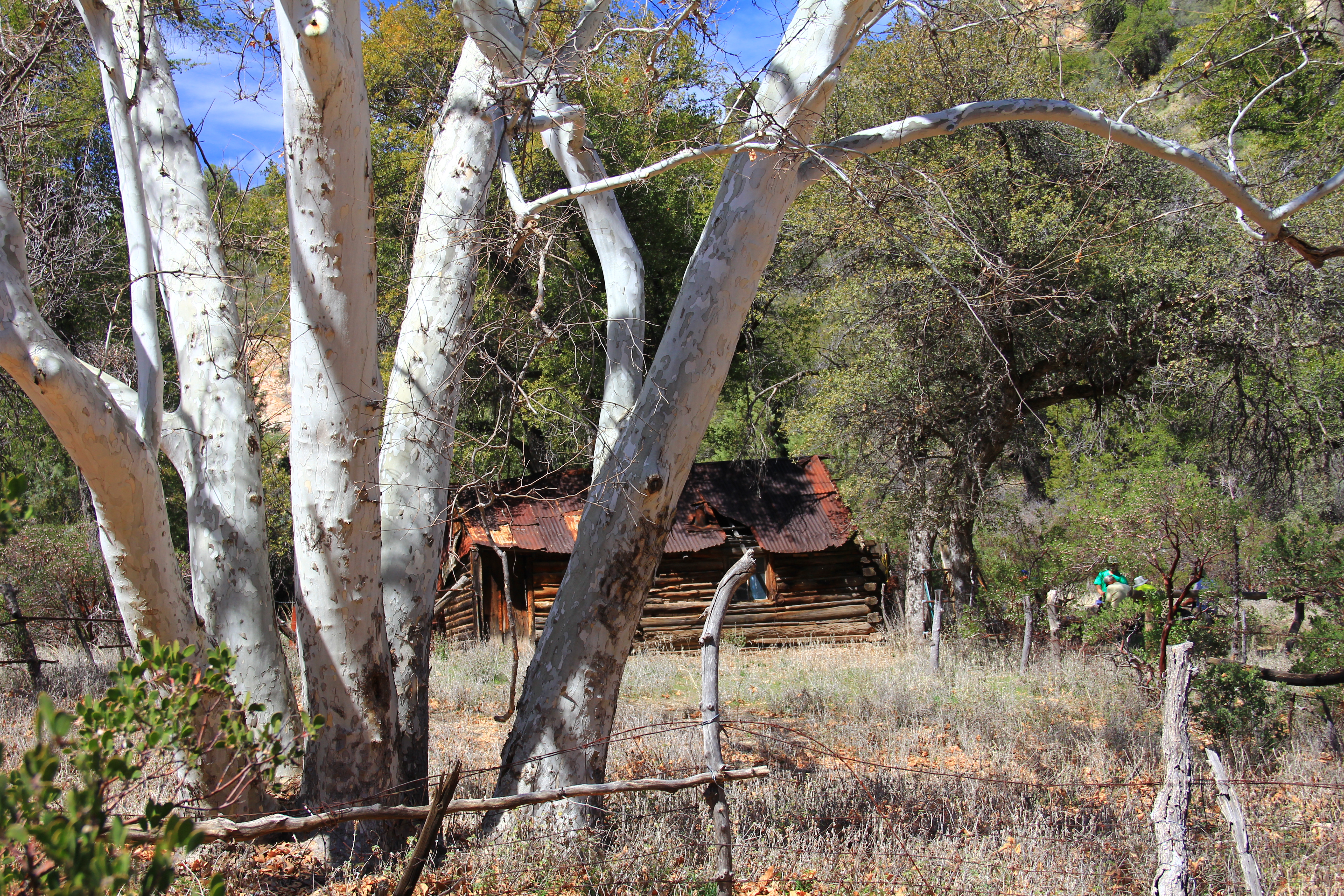
Colleen and I went down to Green Valley, Arizona for a couple of days to celebrate Christmas with two of her brothers, Bill and Bob who have a winter place down there.

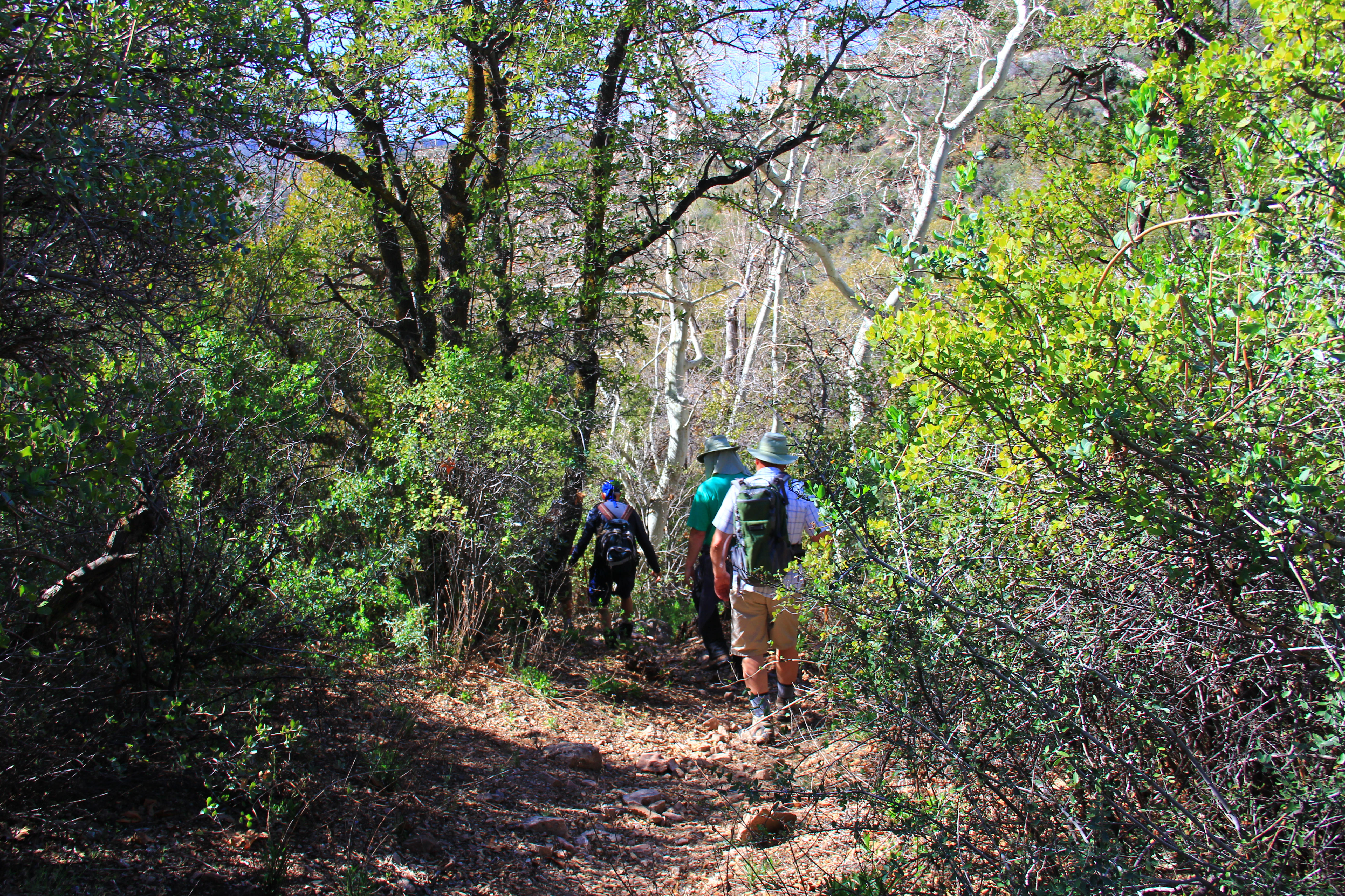
To work off some of the calories, Bill invited me on a hike on “his turf” in southern Arizona.  The hike he suggested was a beauty!  The trail, Atascosa Lookout Trail, is a five mile jaunt with 1600 feet of elevation gain, to the site of an old fire lookout station just a few miles north of the Mexican border near Nogales.


112


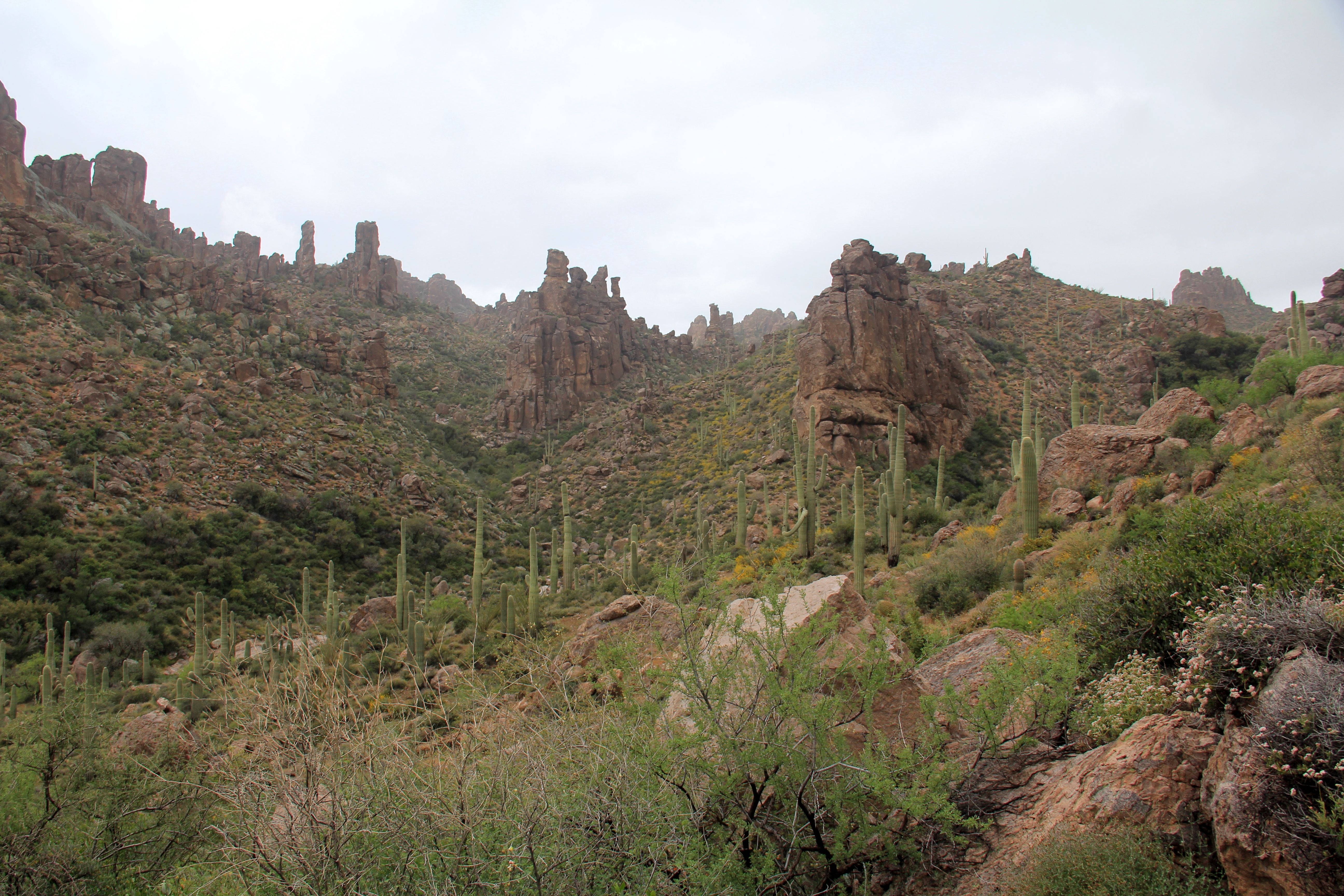
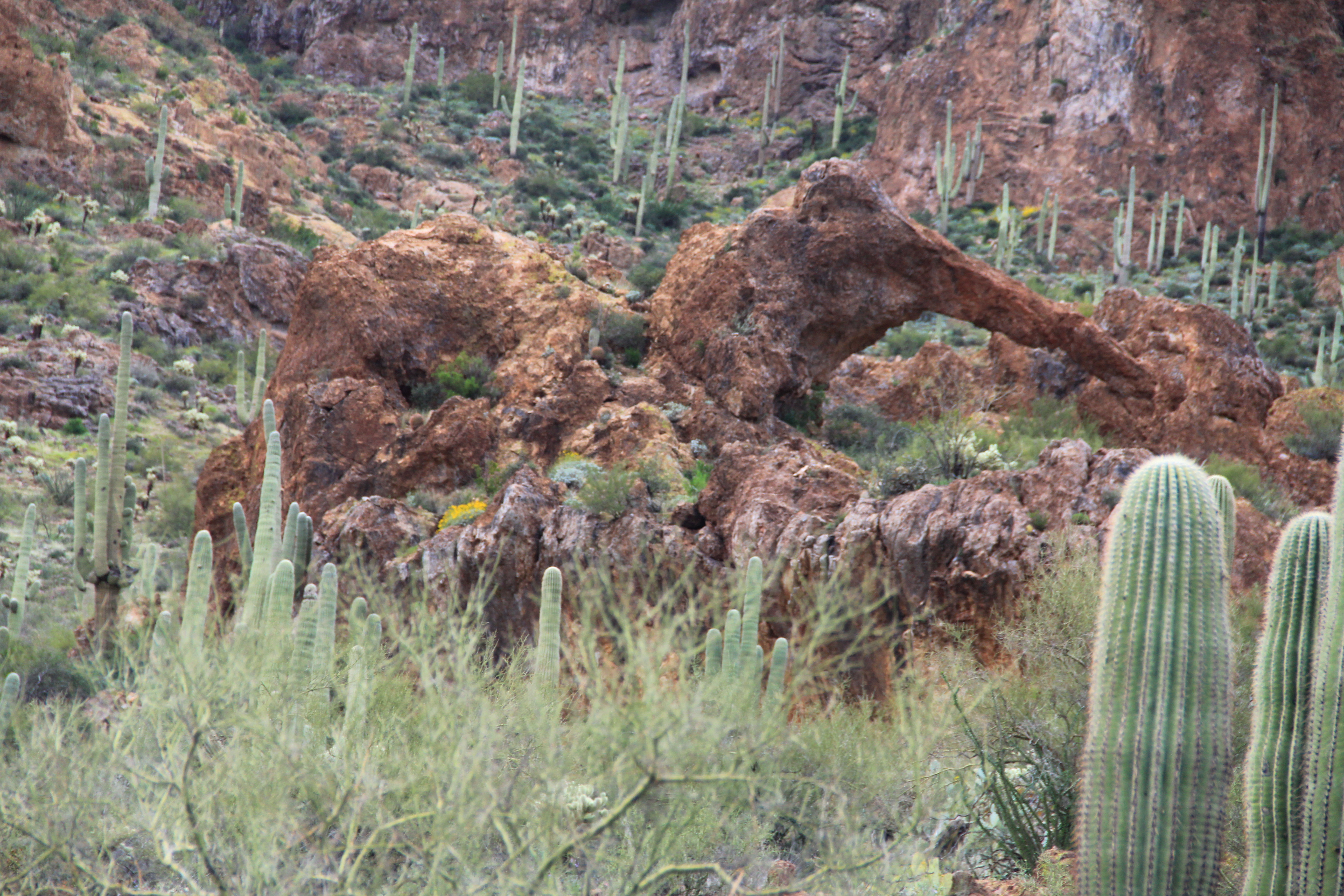
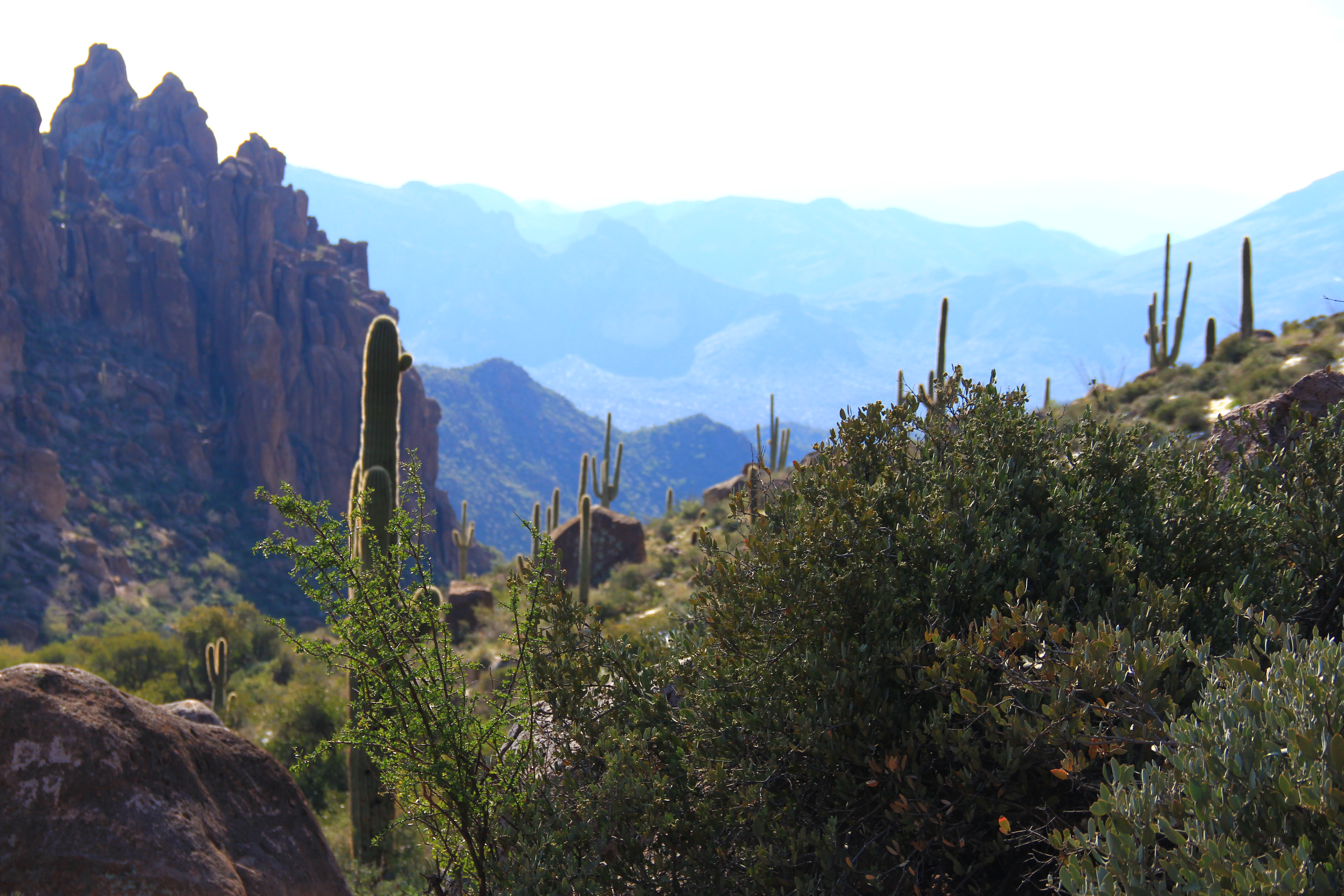
In some ways this hike is similar to the Peralta Canyon hike to Fremont Saddle (distance and elevation gain), but it is really a much different experience.

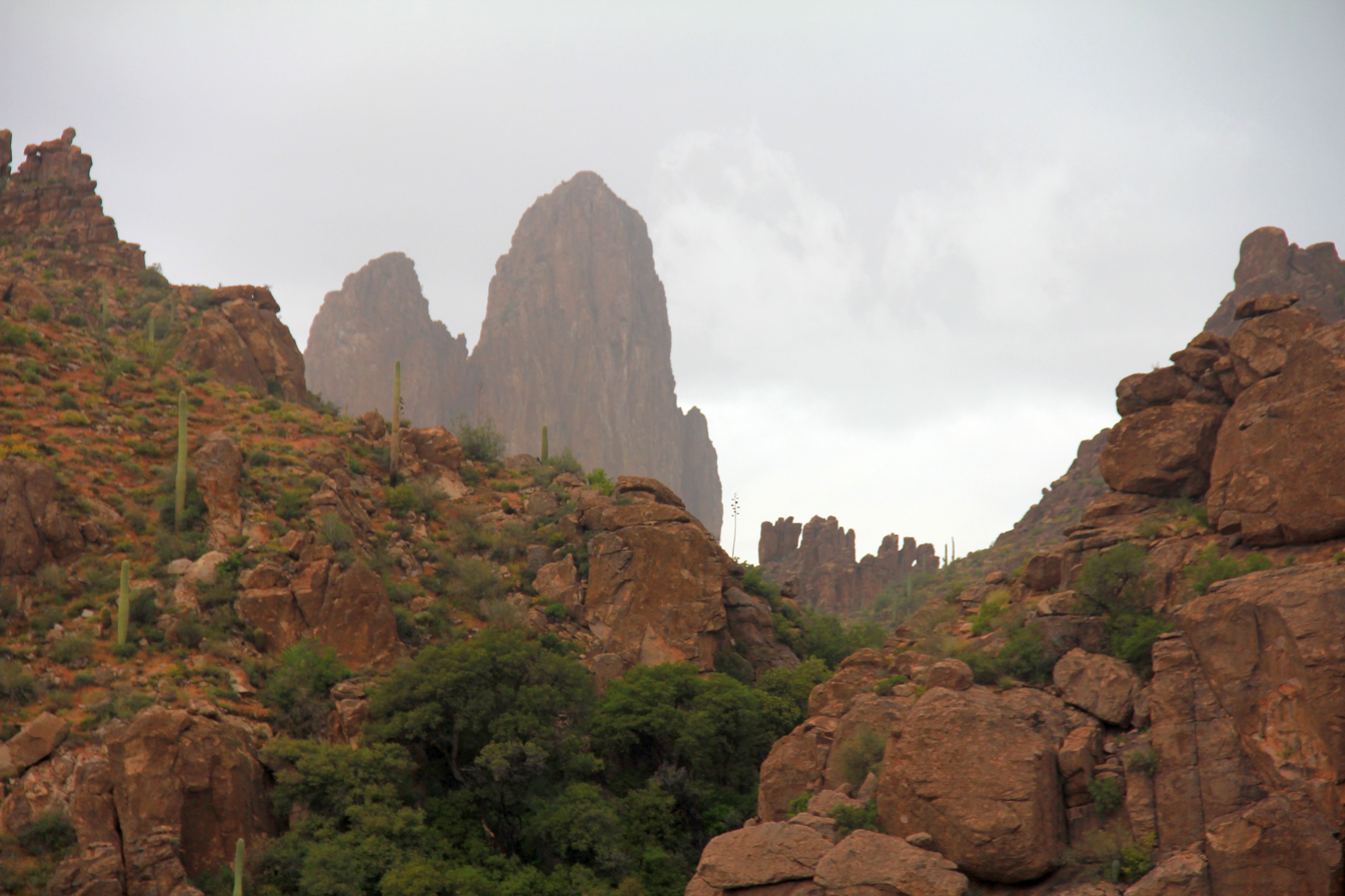
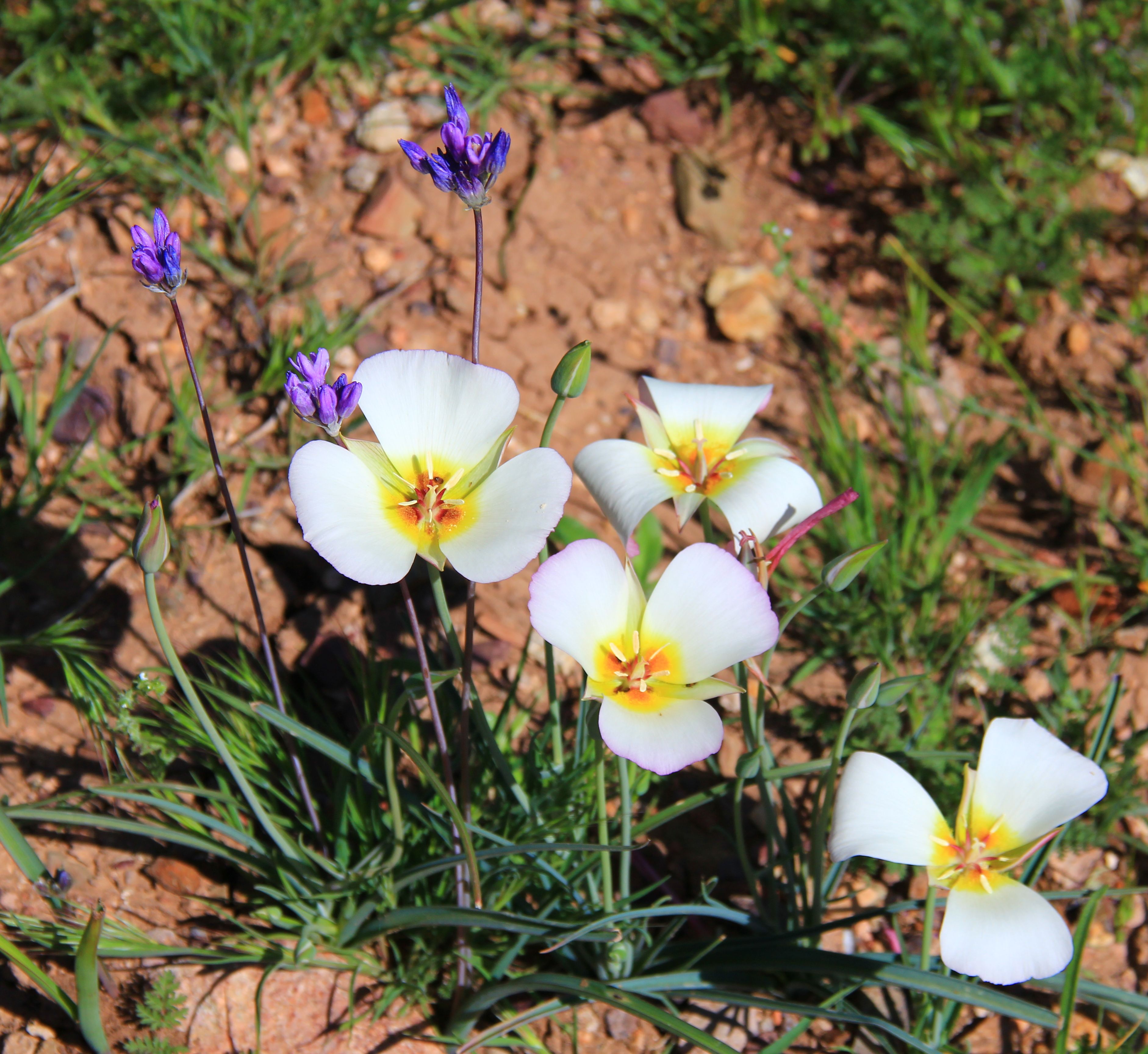
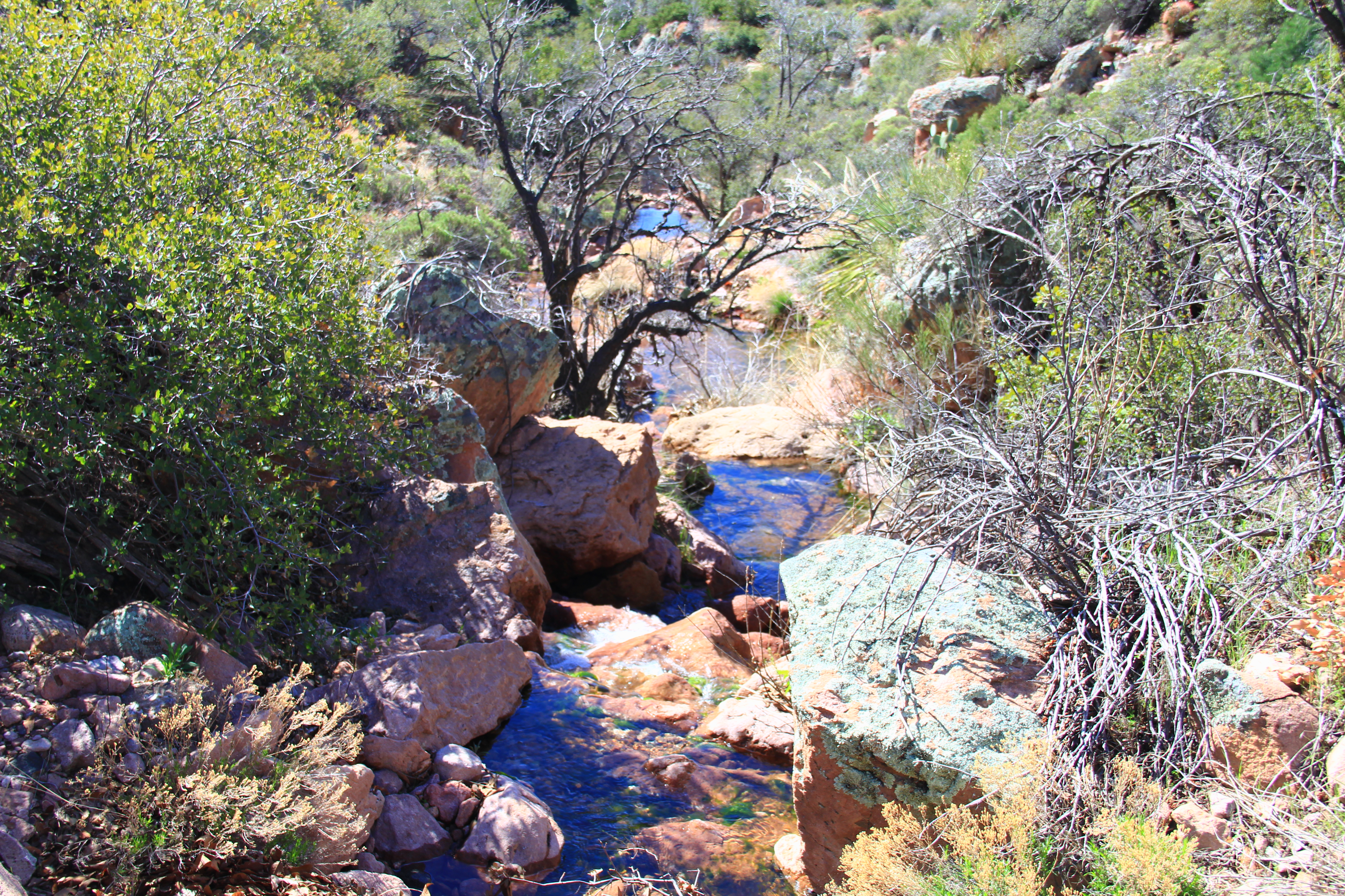
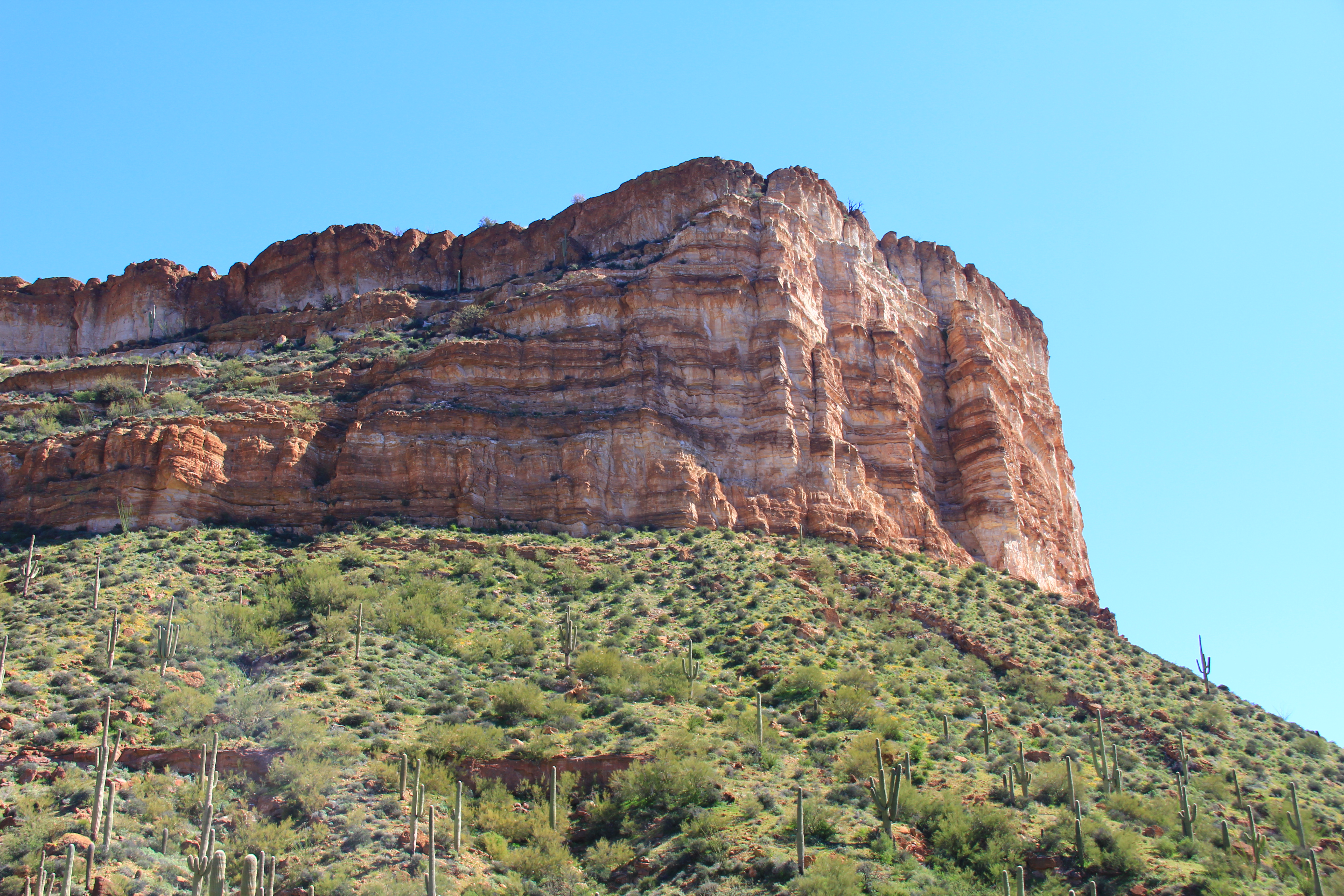
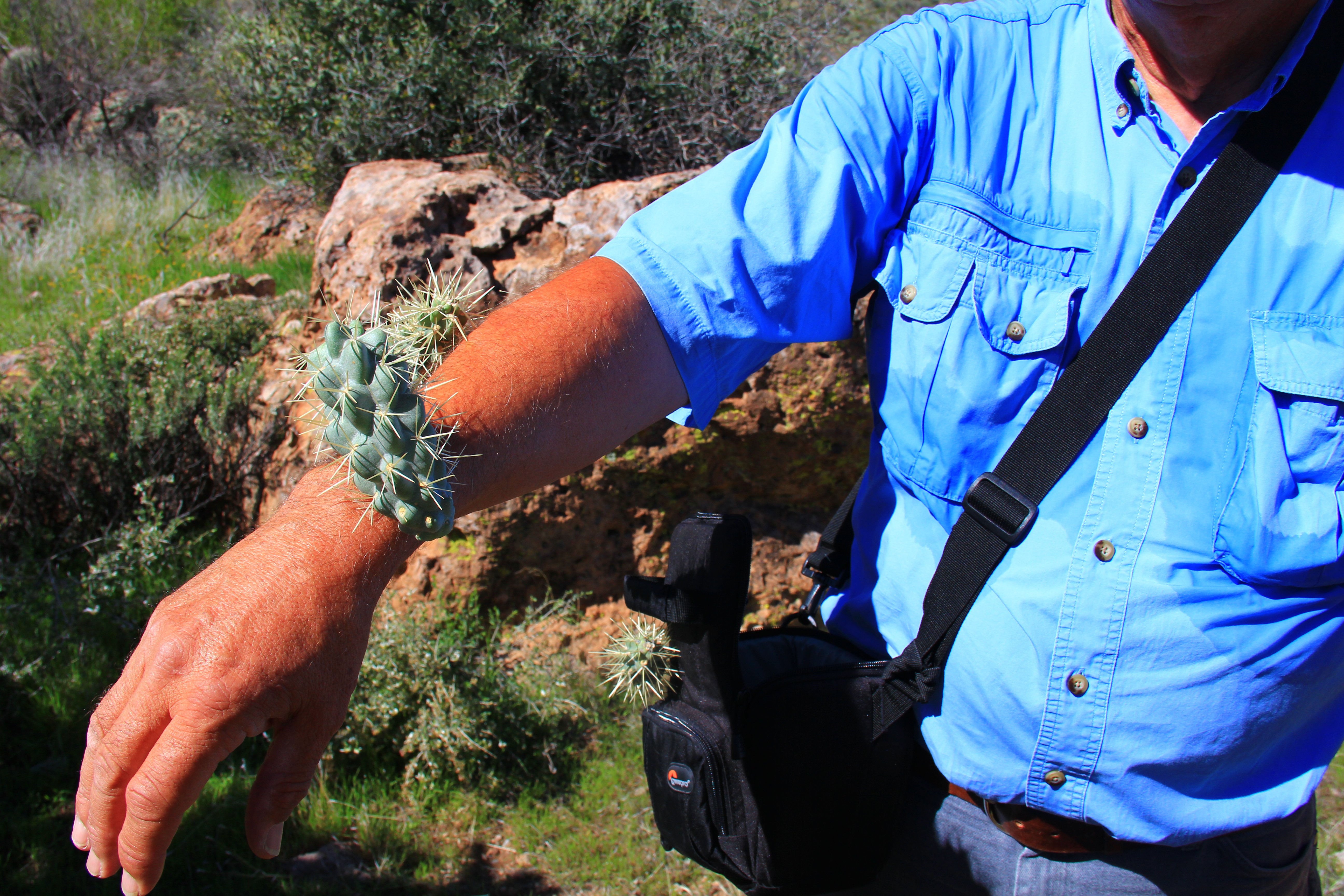
The trailhead at 4600 feet is well above the cactus line, other than a few scattered yucca, and the environment is open mountain terrain, not an enclosed canyon.

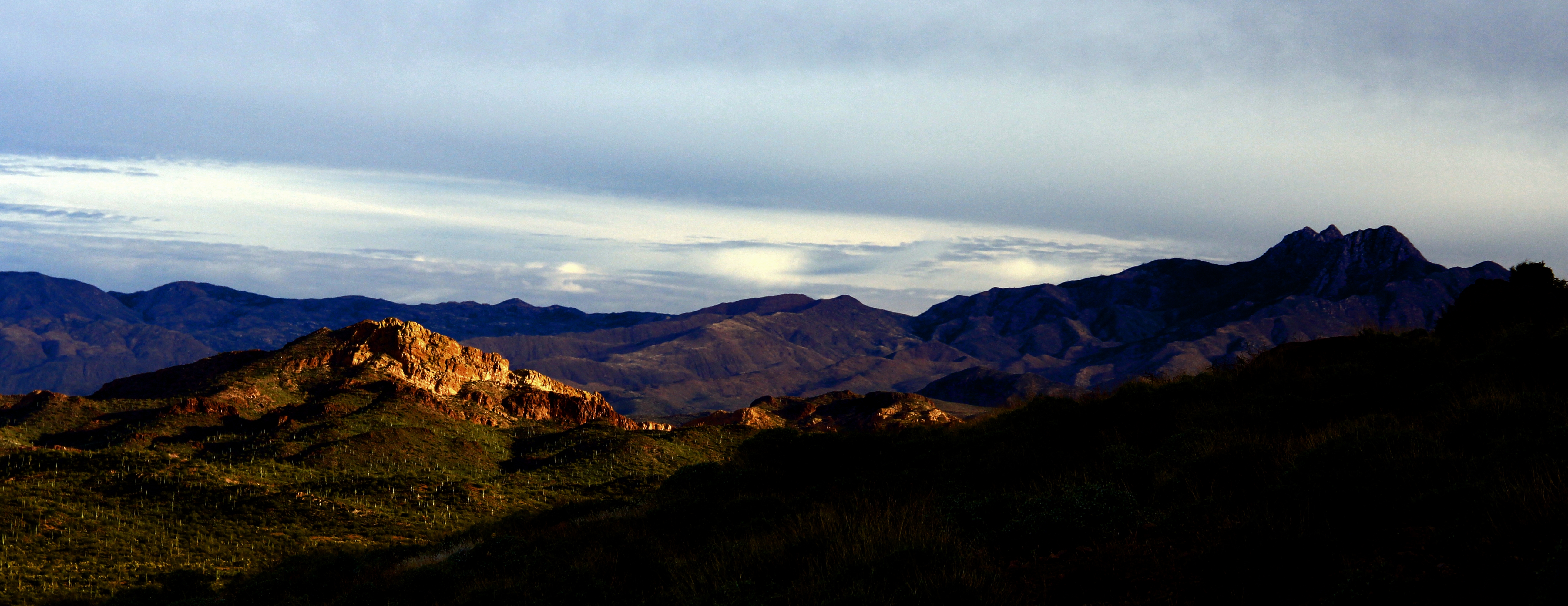
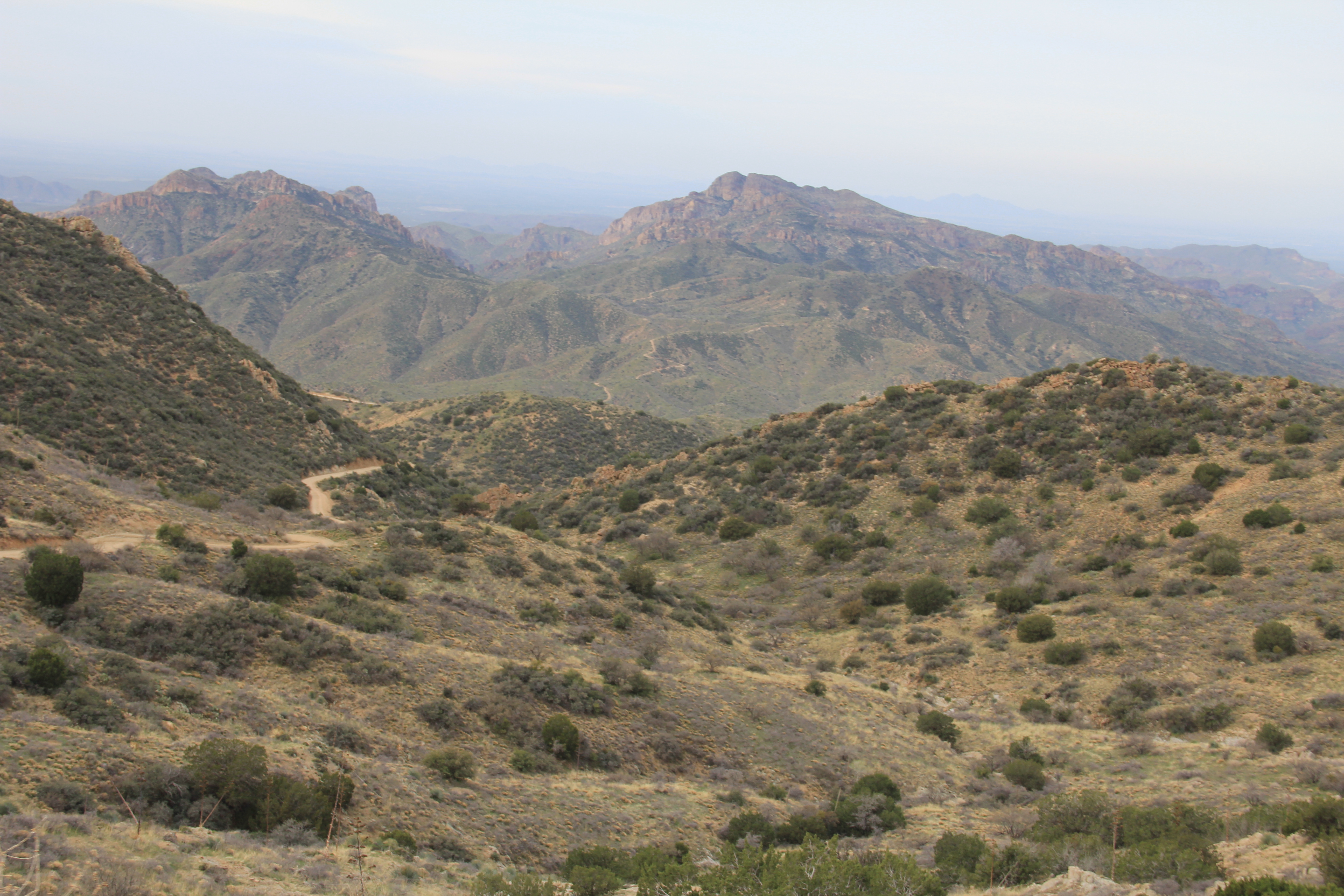
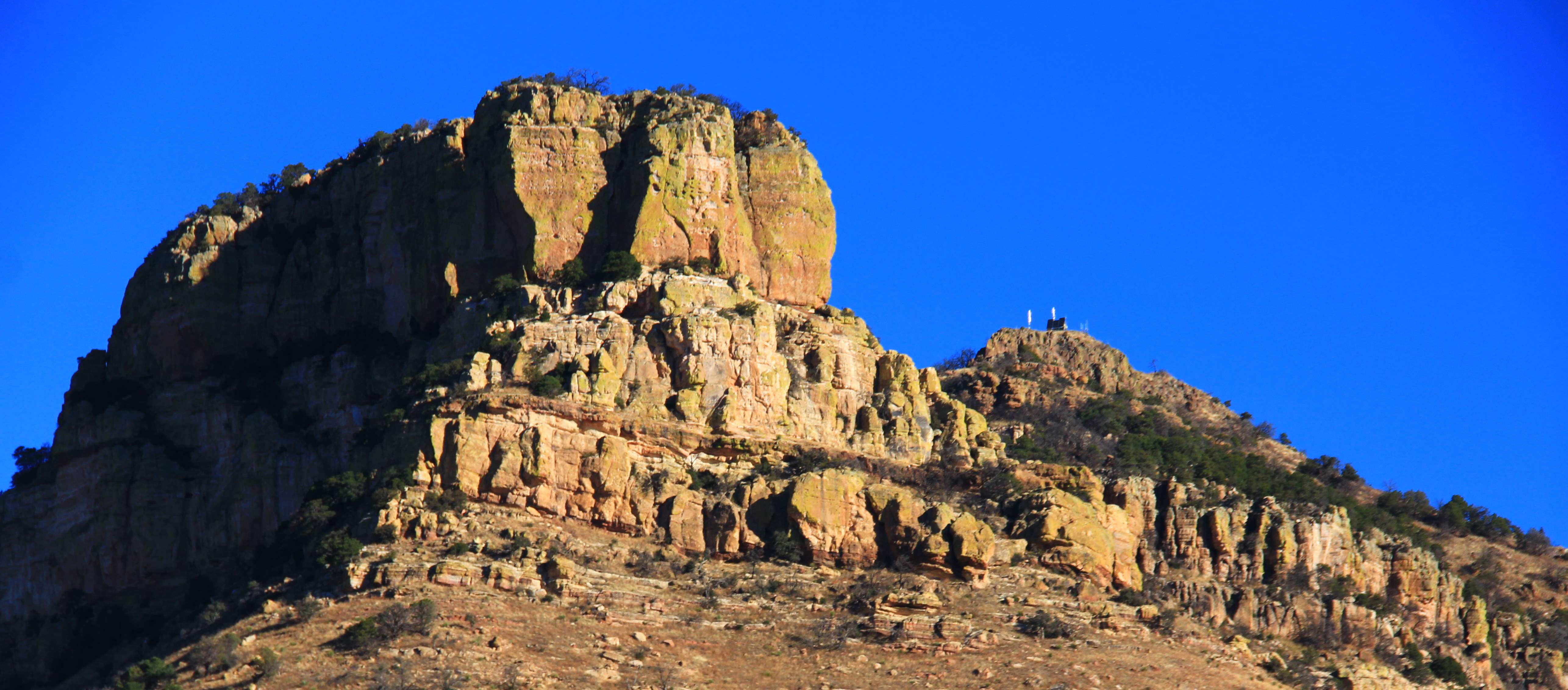
After a quick climb out from the trailhead, over a small saddle, out destination came in view.  In the photo below, it is the small darker formation in top center of the photo, just to the right of the large prominent mountain at mid-screen.

largeview


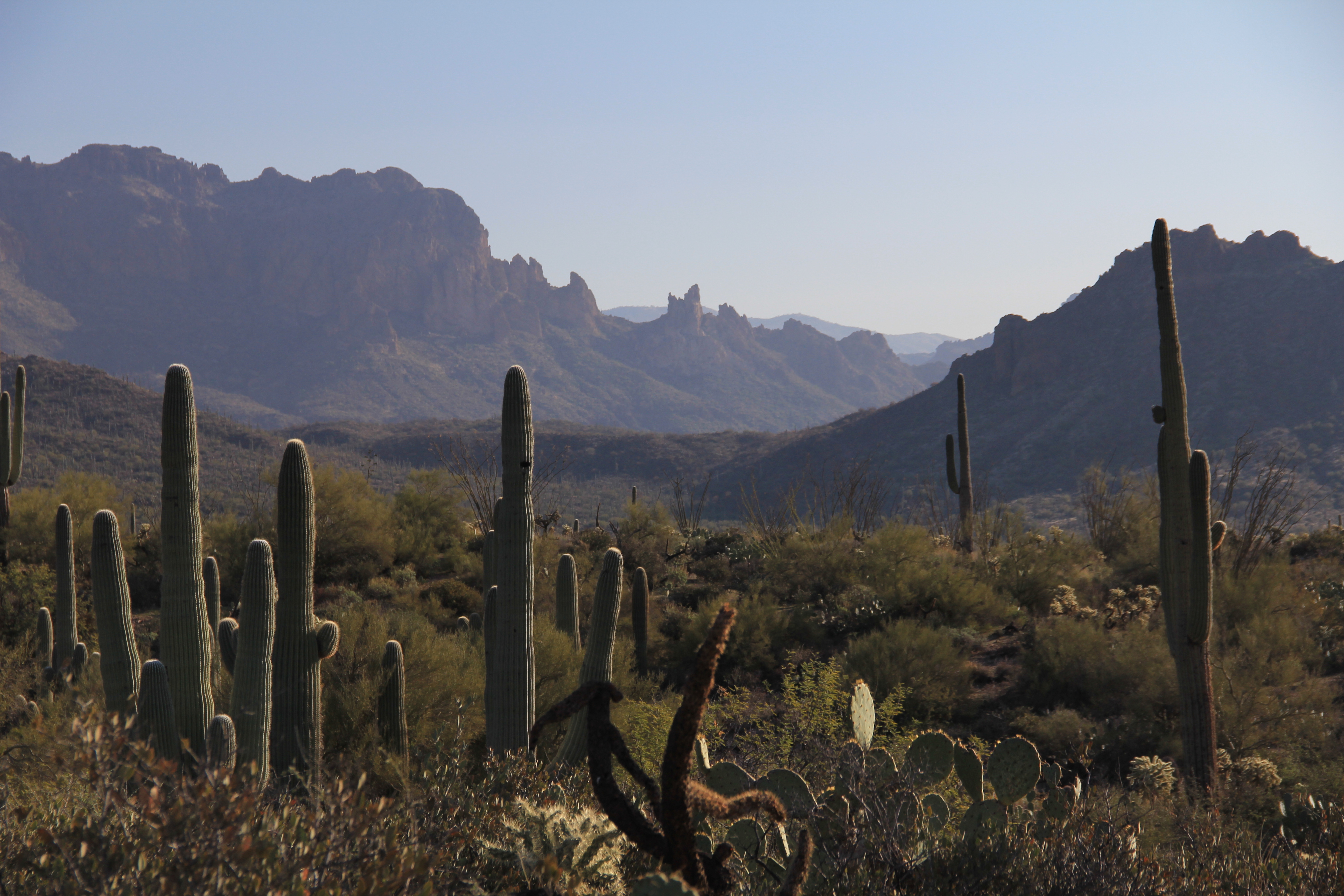
Below is a “zoomed” version of that scene.  Our destination is the right peak with the radio towers.  It is actually somewhat taller than the left mountain, but appears shorter in this perspective because it is further away.


zoom


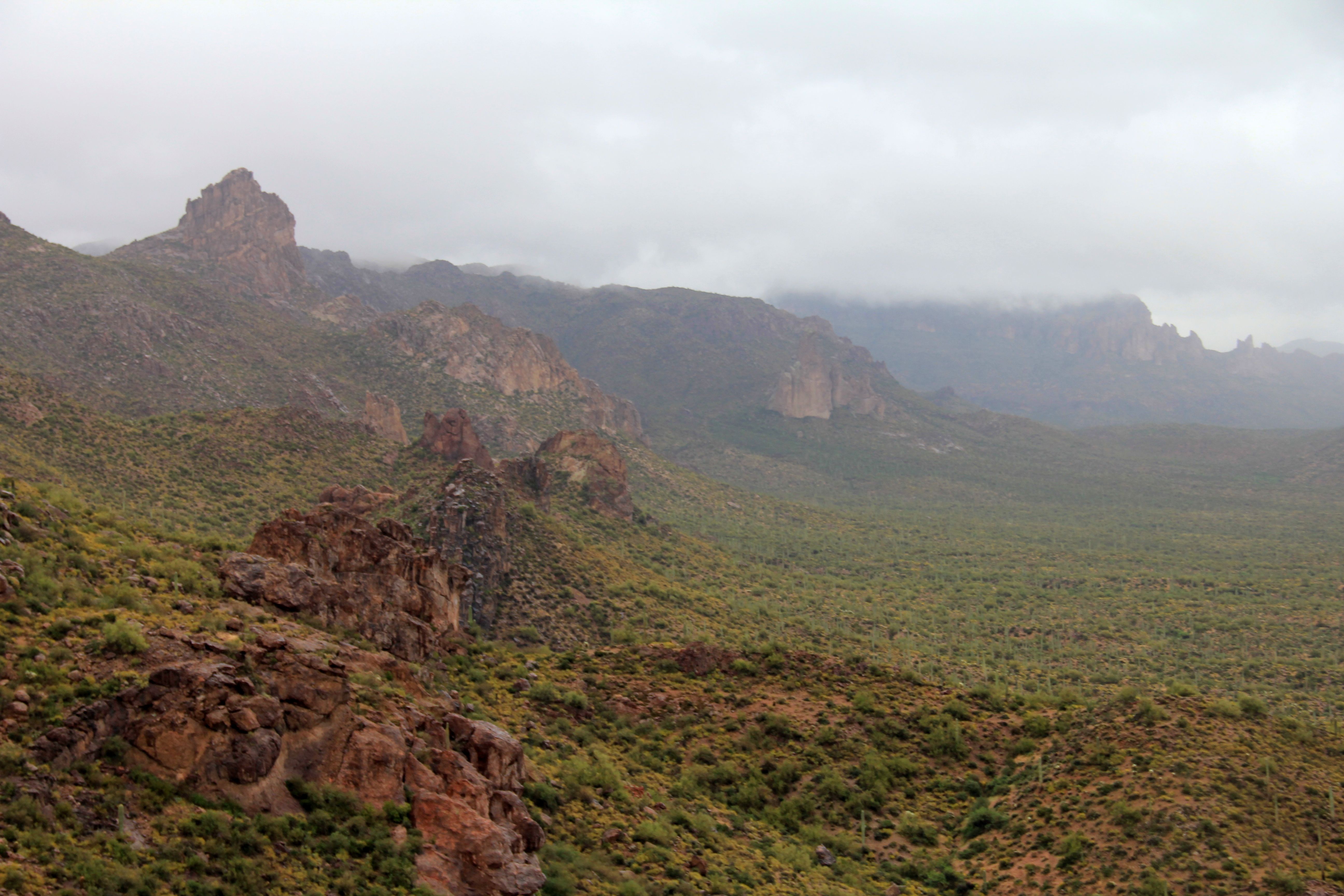
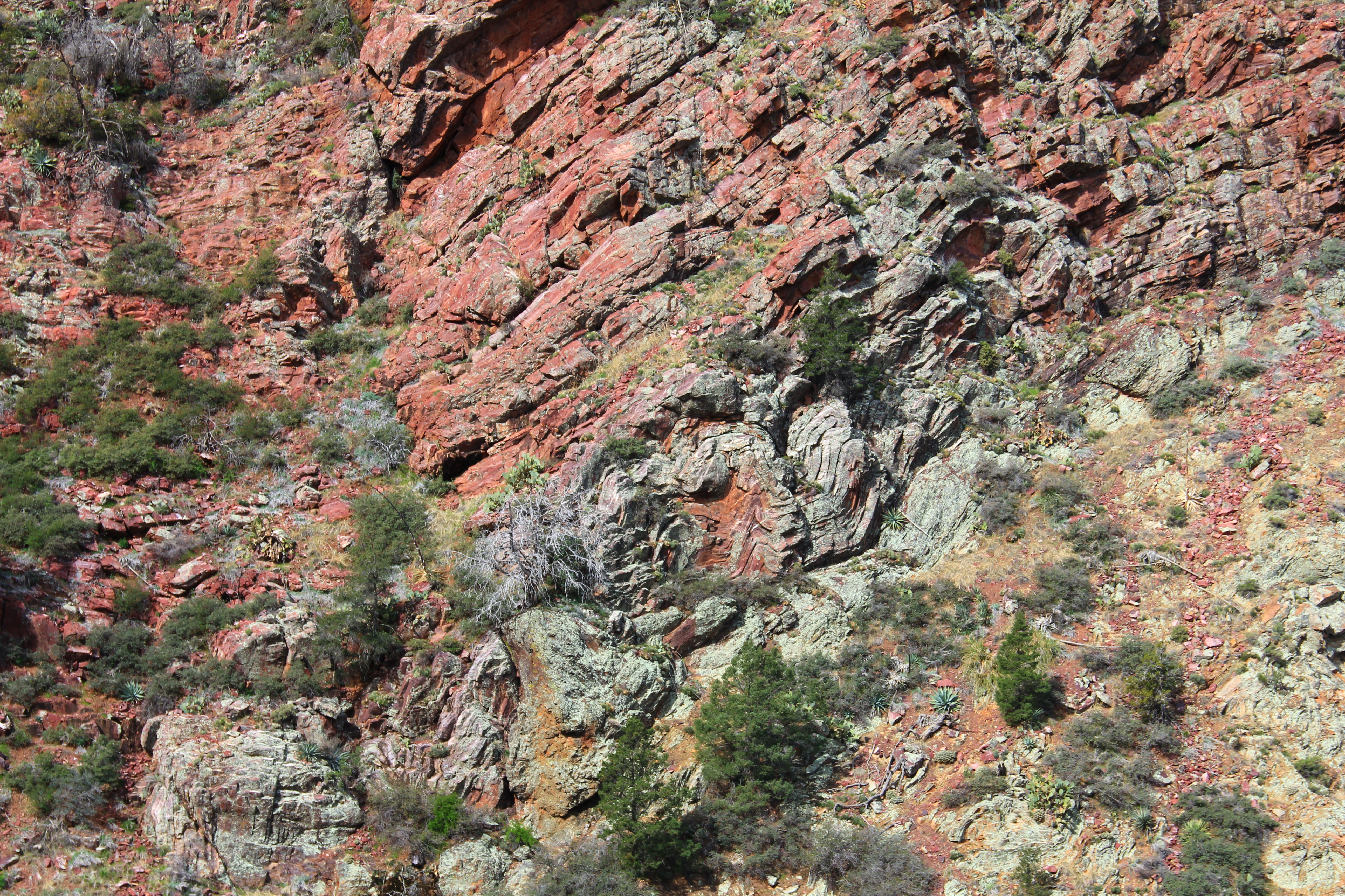
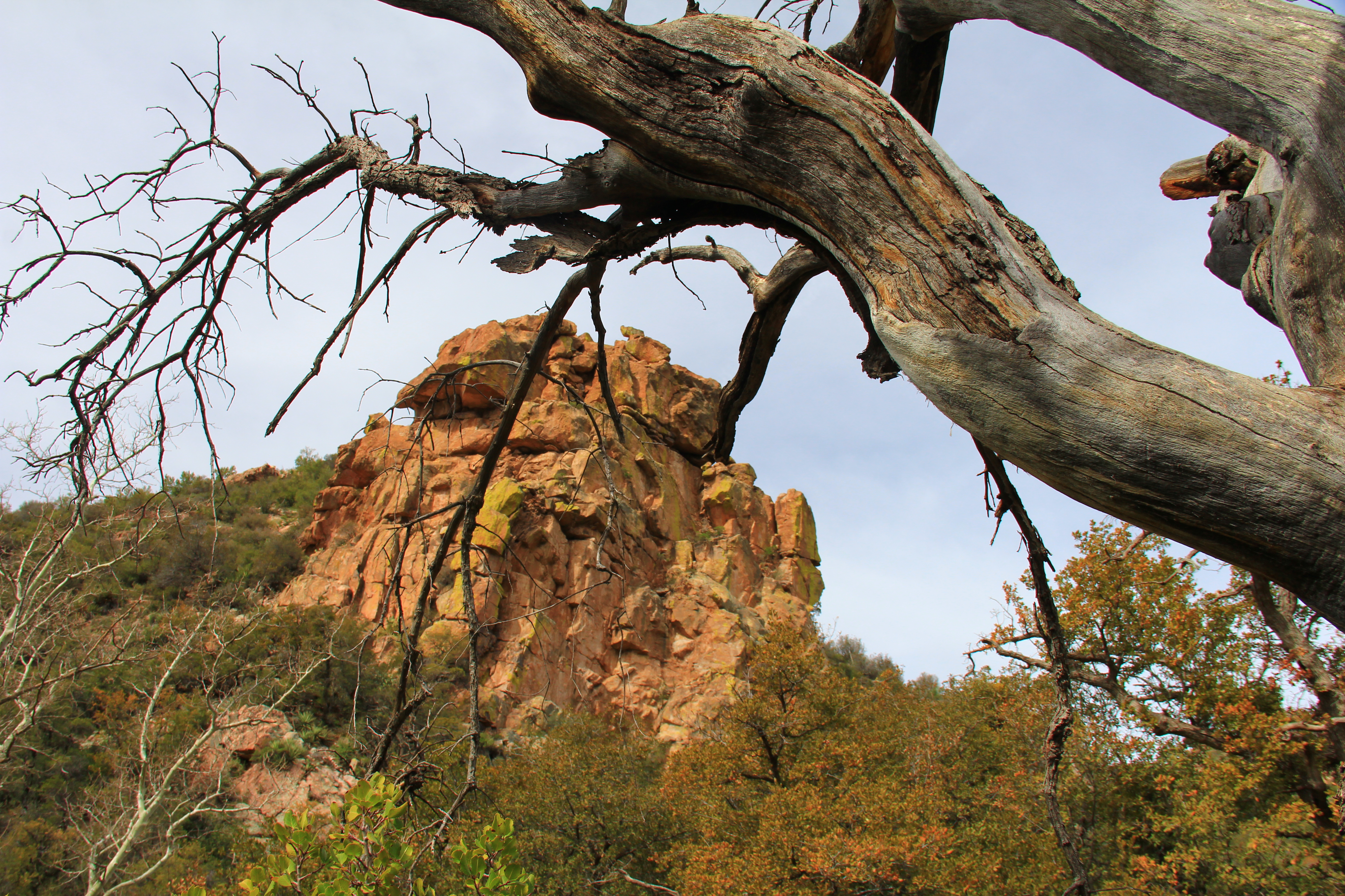
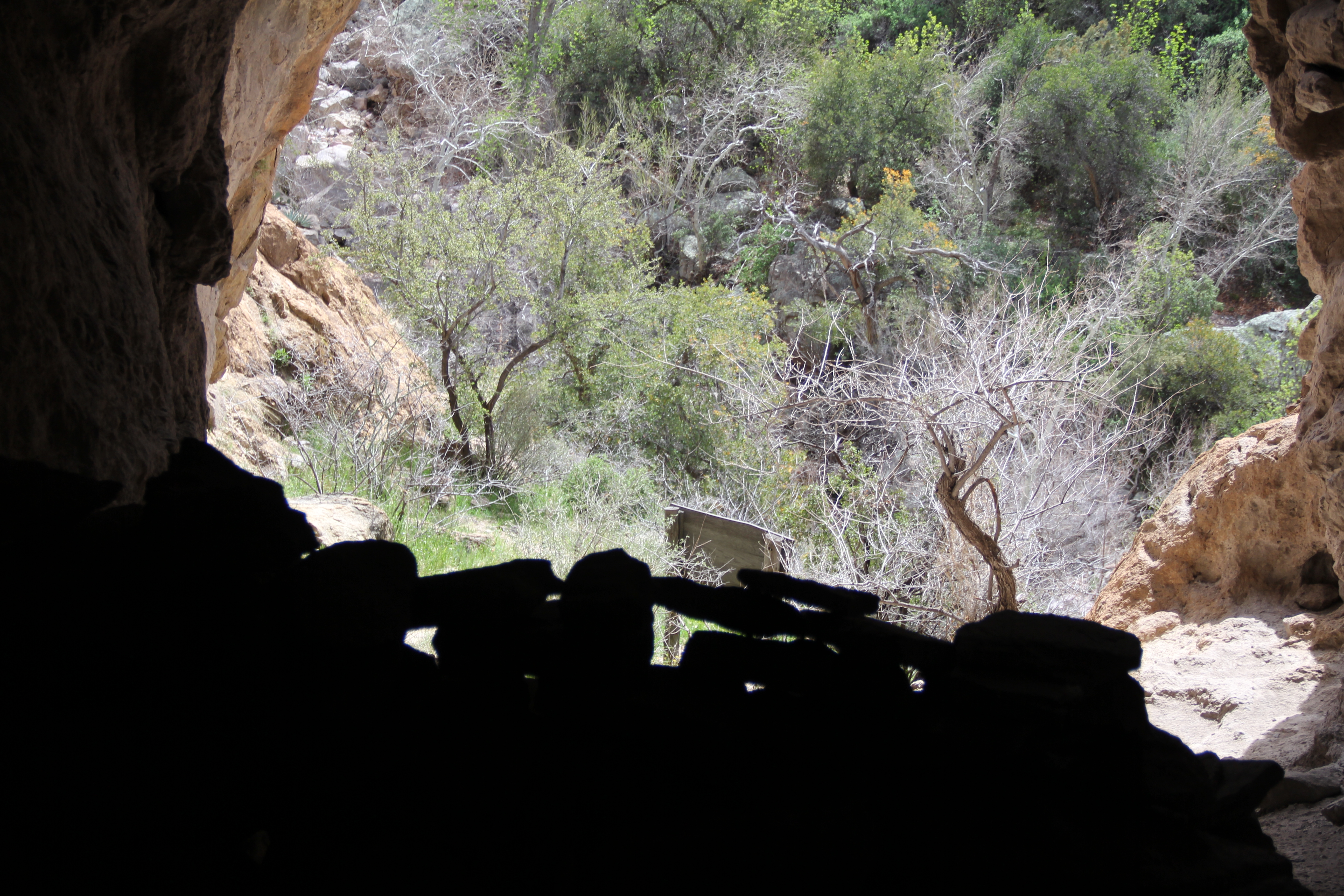
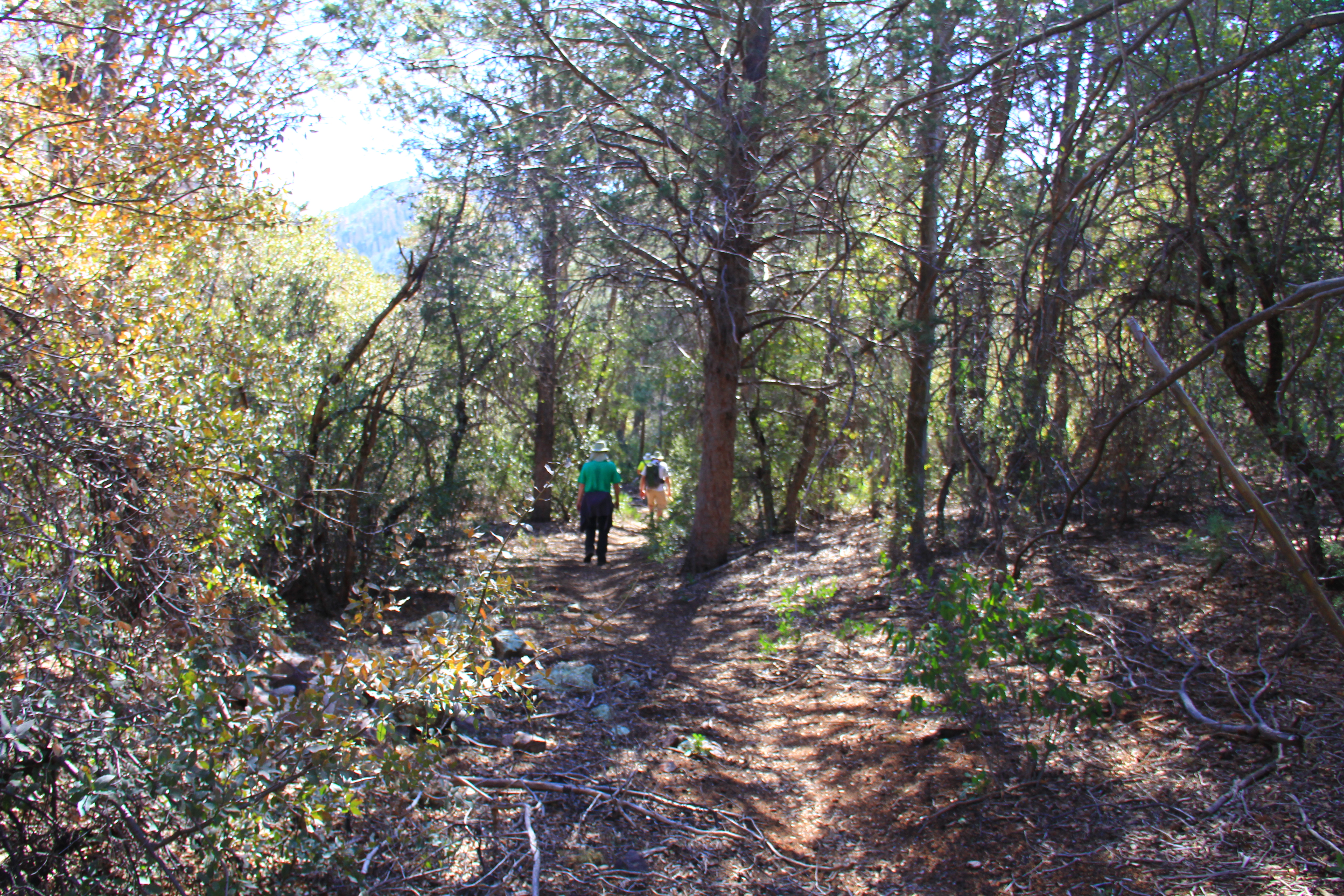
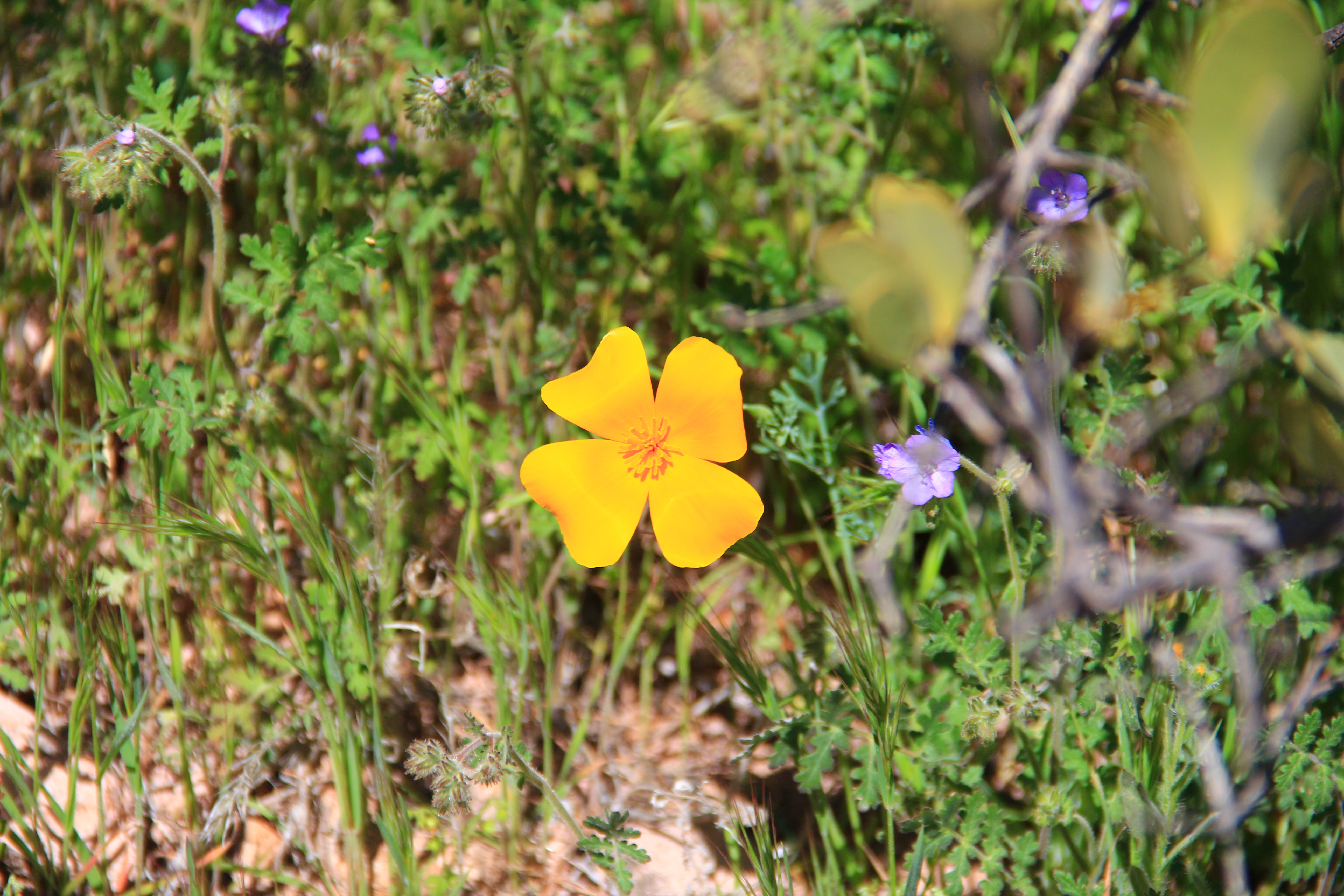
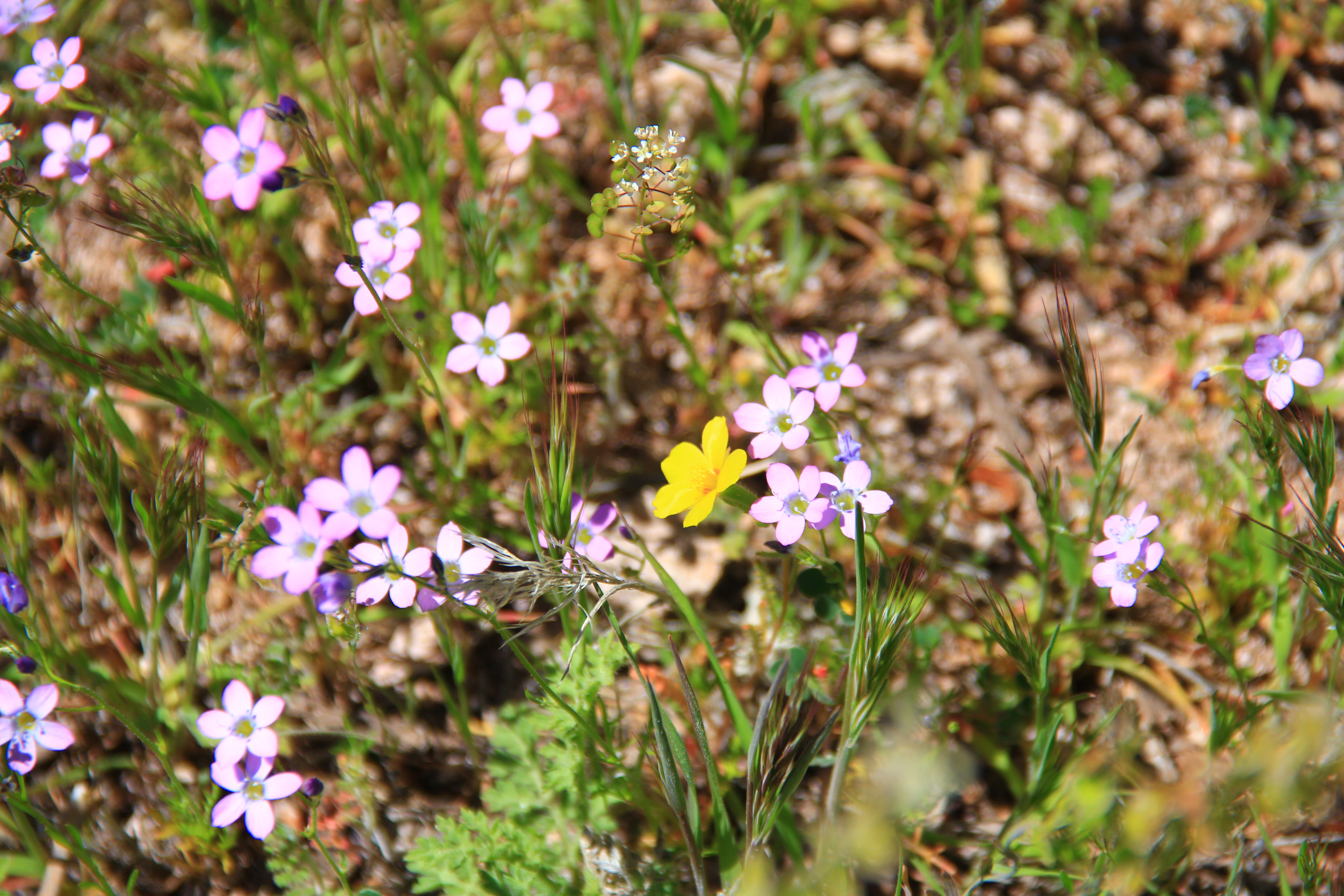
The trail was remarkably well laid out.  Although it was relentlessly uphill, no portion was particularly steep.  The early going consists of switchbacks in quite open country, but as you gain altitude, the trail transitions to a more forested environment.  At one point there was some snow and ice on the trail.


snow

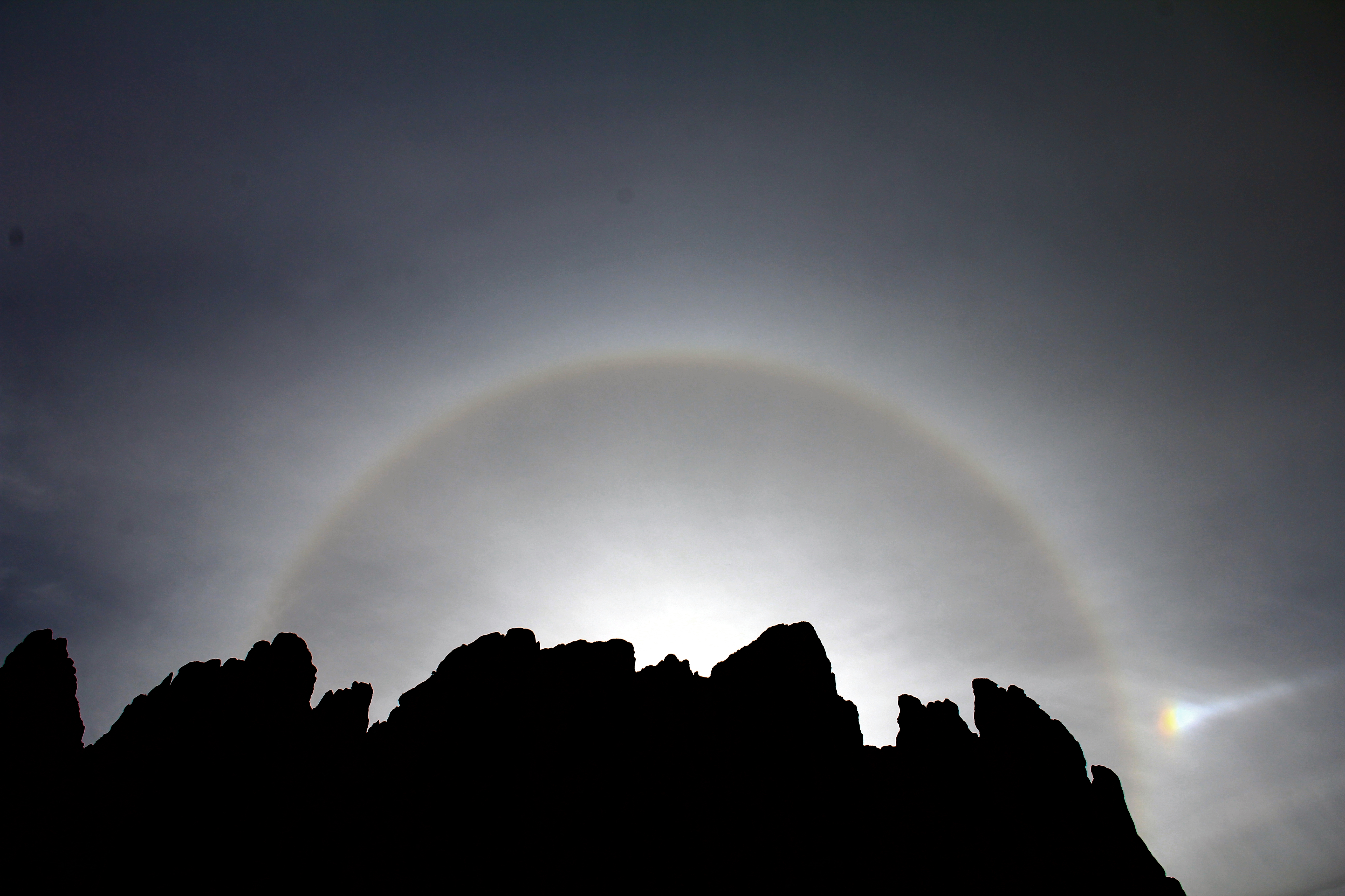
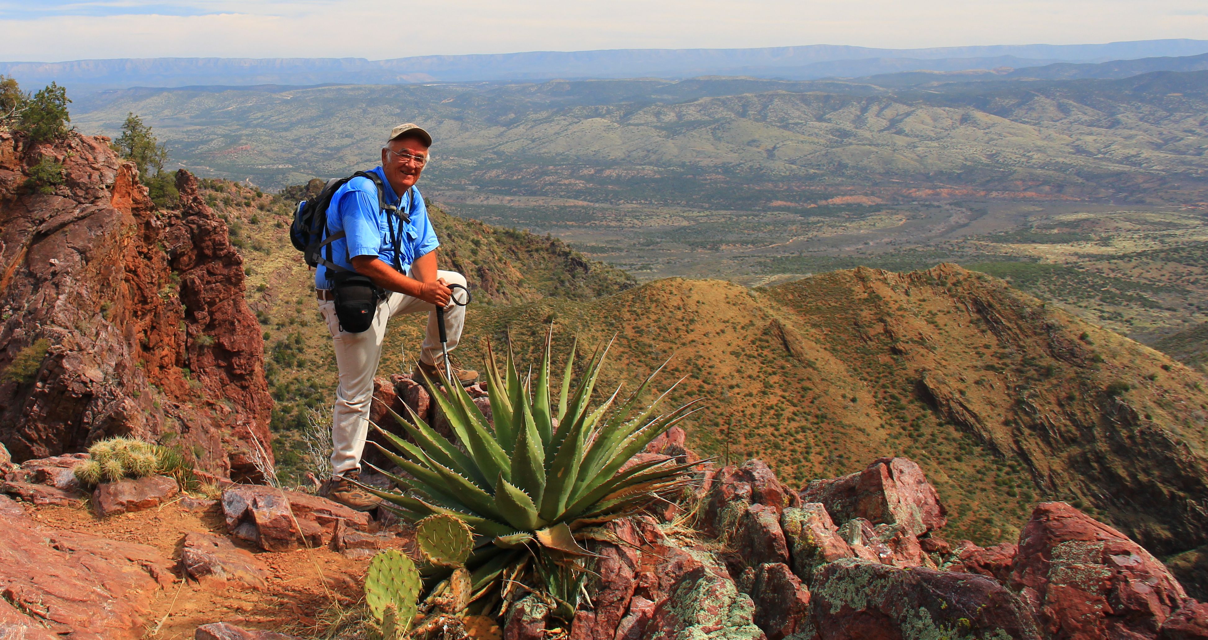
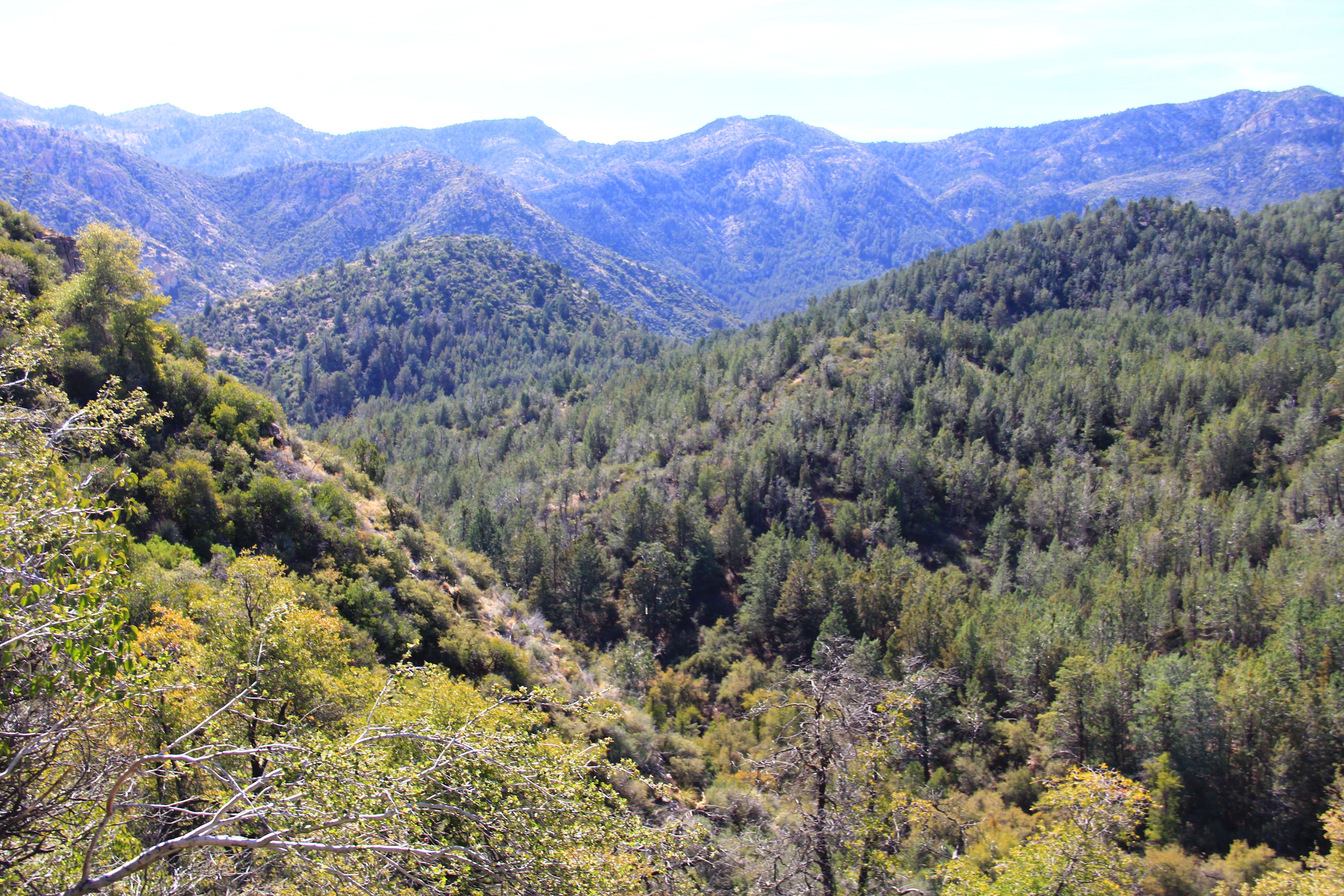
Because this is one of the higher peaks in the area (that’s why they put a lookout station there) the views were fantastic.  Here is a photo that Bill took which I particularly like.

DSCN0627


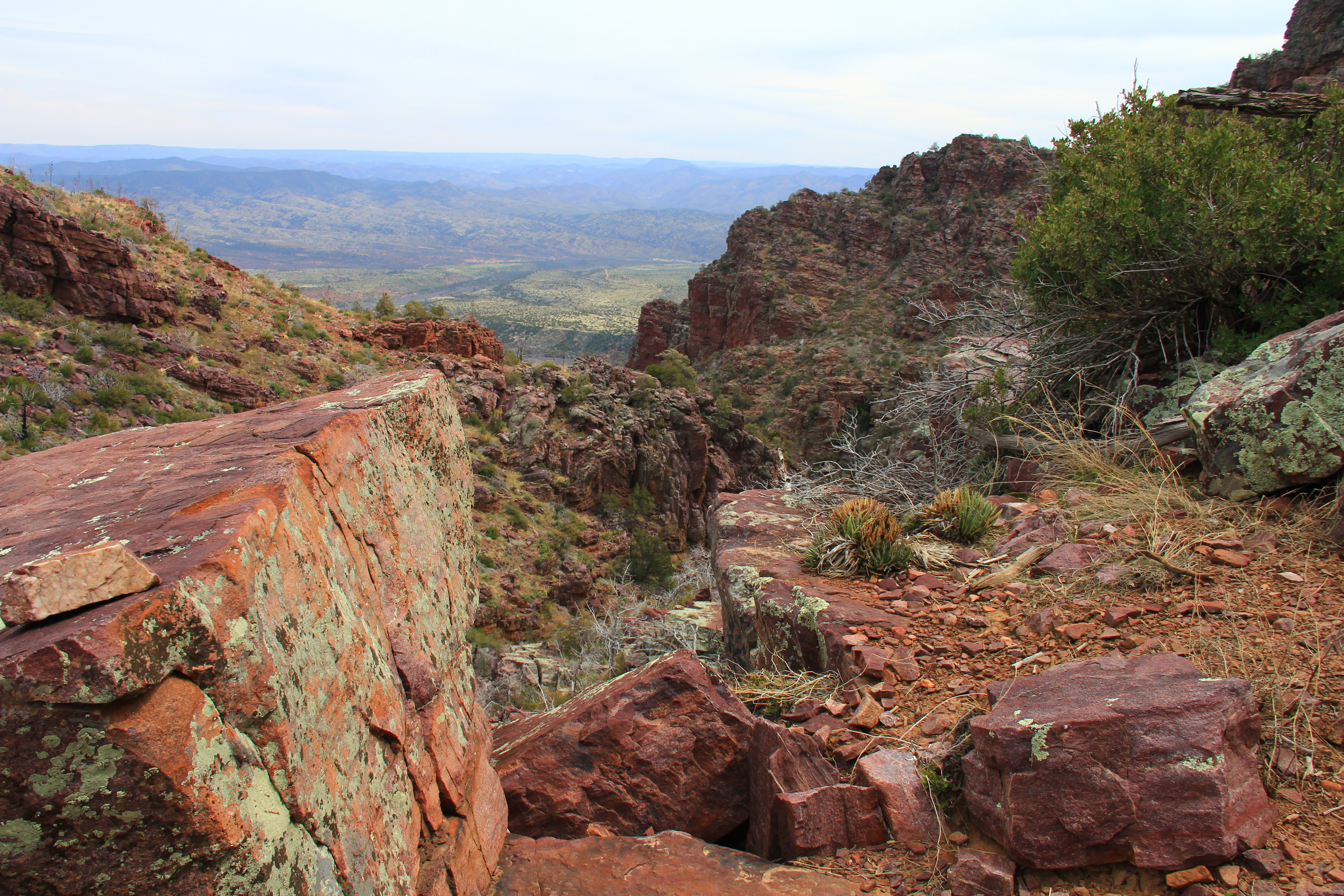
Eventually you gain the summit, and the views are tremendous in every direction.

peakview


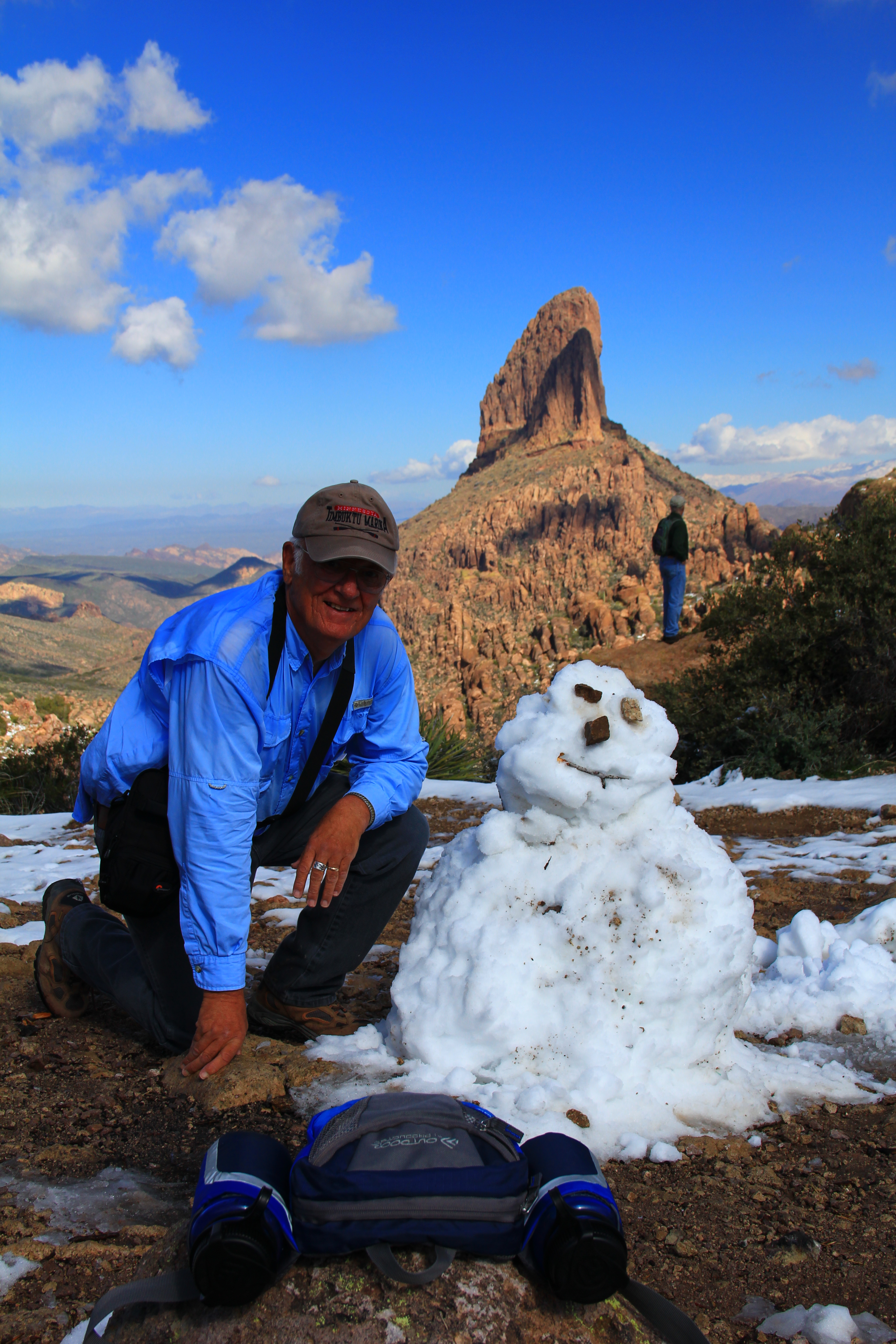
Here I am at the summit, on the phone to Colleen bragging about my accomplishment.  Because of the altitude (the summit is 6200 feet) I found this a little more challenging physically than Peralta, but I have invited Bill up to do Peralta Canyon to Fremont Pass.  I think he’ll see the similarities and differences.

phone


Posted in Arizona hiking | 6 Comments

Just two shots


Wednesday the club did a couple of hikes centered on Praying Hands.  Dana and Deb led a new route, and Joe led the old standard.  I had afternoon conflicts, so took the short route which I’ve written about here previously a couple of times.

So I’ll dispense with the narrative and just post a couple of shots which illustrate the old explanation that photography is really all about chasing light and shadow.

First a panorama looking towards the Four Peaks area, as the broken clouds  highlight a mid-distance rock formation.

Pano

The second shot presented itself on the trip back down off the mountain, when I looked back and noticed this striking sundog in which the sun is hidden behind the mountain, projecting a halo into the hazy sky above the peaks.  The shot may seem to have been shot in low light, but it was actually about 10 in the morning.  I used a very high shutter speed and a polarizing filter to capture the halo which was much more subtle in “real life”.

SUNDOG

Posted in Arizona hiking | Tagged | 4 Comments

Friday Morning Coffee


For a long time I’ve wondered about a trail called “Coffee Flat Trail” which veers off the Lost Dutchman just below Miners Needle.  It leads to a place called “Dripping Spring” in the far reaches of Barkley Basin.  Today Tony led us there on the first of his “distance challenge” hikes for this season.

Hiking Arizona lists this as a 7.5 mile trek (15 miles round trip).

The first segment of the trip is familiar to our club, the hike out of Peralta trailhead along the north side of the Barkley Basin to Miners Needle.  After a short ascent out from the trailhead, this trial is an easy rolling route along the north side of Barkley Basin.  This area seems to be saguaro haven as it is the dominant plant, and the scenery is dominated by striking volcanic formations, the most prominent of which is Miners Needle.

026


At the base of this mountain is the junction with Coffee Flat trail.  It crosses the basin southward, and commences a gentle ascent of the southern slopes and then heads eastward.  The nature of the northern slope continues to be dominated by spires and saguaro, but here on the southern slopes (north facing) sagauros are absent, replaced by a mix of mesquite, palo verde, and ocotillo.

056


The morning sun to the east (our line of travel) made photography “hazy” but here is what the path ahead looked like.  We eventually, over a series of ridgelines, will circle to the left of that formation on the right of the photo, then down into another basin behind it.

015

This basin is the Dripping Springs area, and it is completely different in character.  The first glimpse of the change was this view down into the canyon below, showing a grove of cottonwood trees in the fall colors.  After the dominant browns and greens of the desert, the effect was striking.

131This is an active ranching area, with good water supplies.  There were a couple of windmills in the vicinity, and running water in a small stream.

All in all, a pleasant place to enjoy our lunch before the long trek back to the trailhead.

112


101


Posted in Arizona hiking | 5 Comments

Quest for the Ancient One


Over the decade that I’ve been hiking the Superstitions I’ve heard sketchy rumors of a monster saguaro somewhere “out there” from the Peralta trailhead.  Earlier this season some of us in conversation with a ranger confirmed it was on Dutchman beyond the end of Bluff Spring  trail.  Also we were informed that the old cactus was in decline, so we’d better go soon if we wanted to see it while it still stood.

Tuesday of this week Dana, Debbie, and I set out to find the oldtimer and pay our respects.  It had rained overnight, and the morning started cool and overcast.  Perfect weather for the early morning climb up cardiac hill, which would have been a real killer most warm/sunny April mornings.  Overall the trip turned out to be 10 miles, with just under 1,700 feet of aggregate elevation gain.  We were thankful for the cool conditions.

Bluff Spring Cactus 106

But I’m getting ahead of myself.  The fun is in getting there!

The hike out gives top down views of three major Superstition drainages, first Barkley Basin, then Peralta Canyon, and at the crest, Barks Canyon.  Because of leftover clouds from the night before, these scenes are quite different than our usual sunlit cobalt colored skies.

Here is Barkley Basin looking east from Cardiac Hill.  For perspective reference, the formation in the left of the photo is Miners Needle.

Bluff Spring Cactus 019

Bluff Spring Cactus 084

Bluff Spring Cactus 089Recent hikes have been dominated by the springtime plants and flowers, and this hike was no exception.

Here an agave (“century plant”) launches its’ flower/seed spike toward the sky, expending all the energy it has nurtured over many years, in one last burst of life, passing its’ seed to hopefully start the next generation.

Bluff Spring Cactus 028

Hedgehogs are starting to pop open their beautiful pink blossoms, and we found a few examples of desert mariposa, such as this beauty.

Bluff Spring Cactus 134

Shown below is an example of a “mystery flower” we encountered up around the 3,000 foot level.  It resembles a miniaturized agave, with a delicate pink stalk and pink blossoms with a yellow interior.  None of the usual references have surrendered a sure identification to us.  (Edit: George Newsome identified the plant as a “Gila County Live-Forever”,  dudleya Collomiae)

Bluff Spring Cactus 052

Bluff Spring Cactus 051

Once or twice a season we come across some unexplained curiosity on the trail.  Near the crest of Bluff Spring trail we came across this makeshift stretcher which had been cobbled together from an old tarp, boot laces, and seed stalks from an agave plant.  Our best guess is that some hikers or backpackers transported an injured companion to this high exposed spot for a helicopter extraction.  Either that, or they got tired of carrying him and dumped him over a cliff into the nearby canyon, then abandoned the stretcher here.

Bluff Spring Cactus 175OK, back to the old cactus.  Here a couple of shots closeup.  As you can see, it really does appear on its’ “last legs”.  Because saguaro don’t have “rings” like trees it isn’t possible to accurately determine their age, but estimates are 200-300 years as the usual span of a normal specimen.  Given it’s unusual size, I think we can put this one on the high end of that scale, meaning it probably stood here back when Washington was fighting the Redcoats.

Bluff Spring Cactus 114

Bluff Spring Cactus 116

As we retraced our route back to the trailhead the sky became more broken clouds with patches of sunlight.  Barkley Basin was quite a different sight than our morning view a few hours earlier.

Bluff Spring Cactus 188

Bluff Spring Cactus 197

See you all next hiking season.  Thanks for the memories.

← Back

Thank you for your response. ✨

Posted in Arizona hiking | 8 Comments

Deer Creek — Flowers and a Sailors grave


Fridays’ hike was again in the Mazatlan Wilderness, this time the Deer Creek trail.  This was an easy hike, about 7 miles with only 200-300 feet of elevation gain.

The trail starts out on gently rolling terrain for a short distance, then drops down into the shallow course of Deer Creek, from which comes the name.

The creek had generous flow, but because of the gentle there are none of  the dramatic waterfalls seen in Barnhardt Canyon just a few miles away.  Here our two canine hikers enjoy a cooling dip.

Deer Creek 033

Wildflowers abounded on this trail.  Below are some examples, identified as best I can.

Doubting Mariposa

Doubting Mariposa

White Tackstem

White Tackstem

Cream Cup

Cream Cups

Mexican Poppy

Mexican Poppy

Globe

Globe Mallow

Mock Vervain

Mock Vervain

Blue Dick

Blue Dick

Blue Dick & Doubting Mariposa

Blue Dick & Doubting Mariposa

Spreading Milbane

Spreading Fleabane

What is it? Clusters grow on tall 12-18" stem

What is it? Clusters grow on tall 12-18″ stem

What is it?  Half-inch flower, whole meadows full

What is it? Half-inch flower, whole meadows full

Firecracker Penstemon

Firecracker Penstemon

About 3 miles into the hike lies the lonely isolated grave of David Gowan 1843-1926.

Old Davey was an Irish boy who ran off to England and joined the British Navy.  During a port call in western Africa he deserted his ship, signed on to a slave trader bound for the Carolinas, and ended up in the US just as the Civil War was about to start.  He joined the US Navy at that point, and apparently served his full tour.  After the war he spend some time sailing ships on the Pacific coast, but finally abandoned the sea and came to Arizona Territory to prospect for gold.  I don’t know if that was successful, but in the process he discovered the “Tonto Bridge” near Payson.  He homesteaded the land, but wasn’t the farming kind, so called a nephew over from Ireland who took over the land, build in a road and made it a tourist attraction. (It is now an Arizona State Park.)  Gowan returned to prospecting, and died near where he lays at the ripe age of 83.

Rest your oar, old Sailor.  I think the British Admiralty has abandoned its search for you.

Posted in Arizona hiking | 7 Comments

Barnhardt Trail –


Last Wednesday was a hike in the high country of the Mazatzal wilderness on Barnhardt Trail.  This is a 6-mile hike (3 miles in and return) which ascends about 1,300 feet to the head of Barnhardt Canyon.  In difficulty this would seem to resemble about the same challenge as Peralta to Fremont Saddle, but the route is much better conceived than Peralta resulting in a relaxing climb and one of the most scenic hikes in our repertoire.   The trailhead is at 4,200 feet, nice and cool at about 55 degrees when we started the hike.

The attraction of this hike is threefold — moving water, unusual geology, and grandiose canyon scenery.  Any of the three would put this hike on our “regular” list, but the combination of all three puts it solidly in the top 3 or 4 on the list.

First the water.  All along this trail you are in sight and earshot of an actively flowing brook which tumbles steeply downstream in the canyon floor below.  At one spot midway up the canyon wall I stood and counted nine separate minor waterfalls in plain sight.

IMG_3994a

IMG_4034a

IMG_3959a

The centerpiece of the water features, however, is a series of several close spaced waterfalls at the “turnaround” point of our hike.  These waterfalls, set in a vertical redrock chimney, fall about a combined 150 or 200 feet.  The photos below don’t come close to capturing the rugged beauty of the spot.

IMG_4037

IMG_4036

IMG_4050

We need to recruit a geology scholar to go along on this hike to explain the forces which twisted the rocks into such unusual formations.  There are a variety of “tortured” scenes in the canyon walls which seem to speak of enormous compression forces which wrinkled and molded the rock layers as if a giant crumpled the rock layers like so many sheets of paper.

IMG_4062 IMG_4072a IMG_4086a IMG_4077a

All the water features and puzzling rock formations aside, this hike is a must if only because of the awesome vistas of mountains, valleys, canyons, good friends to share in the experience, and even a spring crocus just at Easter time.

Can’t wait for the next time.

IMG_4016a

IMG_4047

IMG_4053

IMG_4067

IMG_3985

IMG_3950a

Posted in Arizona hiking | 9 Comments

Rogers Trough – a walk on the Wayback trail


This is one of those trails that we don’t do very often.  In most cases there’s a reason, like “too boring”, “too rugged”, “too (whatever)”, but Rogers Trough ought to be a regular.

It’s not an easy trail, but at 8 miles and just over 1,000 feet of AEG it’s a pretty routine challenge physically.  Admittedly, it’s a “pace yourself” hike because the uphill portion is on the return trip, not the outgoing leg. You need to bring a good supply of water, but the rewards of this upcountry journey into the past make it a must-do at least once in career of any Superstition hiker.  The “past” we journey to is a remote cluster of Solado Indian dwelling ruins at the turnaround point of the hike.

Half the reward of this hike is the road trip to the trailhead.  Rogers Trough trailhead lies about 1/3 way up the flank of Montana mountain, and the trip takes you deep into the prettiest areas of the interior Superstition, where you are surrounded in turn by towering cliffs, meadows of wildflowers, and “stop and take a picture” views of your backtrail.

A Field of Chia

A Field of Chia

Mixed Wildflowers

Mixed Wildflowers

A view looking back down the road to the trailhead

A view looking back down the road to the trailhead

Can you see the rock-elephant?  Hint: His trunk forms an arch in the right of the photo.

Can you see the rock-elephant? Hint: His trunk forms an arch in the right of the photo.

The road in is not a speedway, but it is regularly maintained (a Forest Service roadgrader smoothed it the day we went in) and it can be negotiated with most vehicles.

Once at the trailhead (at about 4,800 feet) you are above the cactus line and in an environment of manzanita and juniper.  The trail follows a canyon, shallow and broad at first, frequently crossing a babbling creek downstream.  There is intermittent shade all the way, and the altitude makes this a cooler hike during the warmer end of our hiking season.

Manzanita in bloom

Manzanita in bloom

As you continue down canyon, it narrows and the walls become gorgeous sculpted cliffs on both sides.  The vegetation changes from shrubs to larger trees, with some great specimens of Arizona sycamore, cottonwood, and others.

IMG_3441IMG_3463In the photo above, note the dark spot on the cliff in the middle of the scene.  This view is from a spot on the trail is about a quarter mile from the dwelling ruins which most of us in the group had visited a few times before.

Two of our group on this hike, Dana and Debbie, had not hiked here before.  Naturally they were “on the lookout” for the ruins while the rest of us “knew” we hadn’t reached them yet.  The scene above caught their attention.  Below is a “zoomed” photo of that same dark spot high on the cliff.

image

Inside the alcove, to the left, appears a perfectly preserved structure which none of us had ever noticed on any previous hike.  We think that deeper in the shadows to the right side of the cave there may be an additional structure but it would take some technical climbing to get a closer look.

Proceeding down the canyon further, we came to the “regular” ruins which most of us had visited on previous hikes.  Somehow they weren’t quite as exciting after the discovery above.

image

This structure is the best preserved of those at the end of the trail (photo courtesy Deb Kirke.)  It takes a little clambering to reach, so I haven’t been into that cave.  Below are some shots of lesser ruins in the vicinity, easier for old geezers to reach and photograph.

IMG_3482 IMG_3491 IMG_3488


A great hike, 600 years into the past, and we’ll all probably spend more time scanning the cliffs on future hikes.


Posted in Arizona hiking | 8 Comments

Haunted Canyon trail – a hike 100 years into the past


Yesterday Jim led a small band of us on a trip to Tony’s Cabin in the eastern Superstitions.  This was a “beat the heat” tactic, as the route lies completely above 4,000 feet.  There are at least a couple of routes to the site.  We hiked in and out from the “upper” Haunted Canyon trailhead on FR287A. This is about an 8 mile round trip, and the accumulated elevation gain is 2,000 feet.   The temperature at the trailhead in the morning was 59 degrees, and 78 degrees when we returned in the afternoon, compared to the 90’s in the valley.

Half the adventure is getting to the trailhead.  It is located about 10 miles off US 60, and the road first passes a few miles through the Pinto Valley copper mine, then deteriorates (yes, that’s the correct word) into a steep and twisty one-lane mountain trail for the remaining 6 or 7 miles.  This old bridge was just 8 inches or so wider than my “dually” pickup!  At some points along the road both outside rear tires were off the road.

Haunted Cabin 147

The hike opens with 900-foot climb over about 1.5 miles to a grassy ridge overlooking Haunted Canyon.  Most of the climb is in the shade of cedars, cypress, and sycamore trees.  The trail is easy to follow, with a lot of easy water crossings (handy place to dip your cap in the water and cool your head), and a few deadfalls to negotiate.

Haunted Cabin 058

Haunted Cabin 013

You’ve reached the crest of the climb when you see this weathered old tree where we gathered for a group photo.  From left to right, Jim, me, Brian, Dick, and Frank.  Peter is behind the camera.

Haunted Cabin 033

From this crest the trail descends 1,100 feet over about 2.5 miles into Haunted Canyon and the site of the old Tony ranch.  Here’s a view from just past the trail crest, looking down into the maze of canyons below.

Haunted Cabin 046

The descent into the canyon is more gradual, and again the shaded trail involves a number of creek crossings.  The Supes are blessed with a lot of water this spring.

Haunted Cabin 039 Haunted Cabin 041

Our destination for this hike is the old Tony homestead.  In 1913 William Toney built this log cabin and homesteaded 78 acres of the surrounding canyon floor.  100 years ago this remote place became the home of William, his wife Ella, and 7 children.  Records indicate they farmed wheat, beans, and other crops, and planted a 600-tree orchard here.  I didn’t find any evidence of fruit trees, but they may well have long died and decayed over the century since then.

Haunted Cabin 095 Haunted Cabin 101

Can you identify this item, seen hanging on the cabin wall?

Haunted Cabin 113

After a leisurely lunch break, we reversed our trail and climbed (1,100 feet) back out of the canyon by the same route.

This was a very rewarding hike; the canyon setting of this old home stirs the imagination.  I’d the difficulty as on the “high end of moderate”, but all agreed it was well worth the effort.  The higher altitude makes it a nice candidate for warmer weather.  My only caution would to NOT do it soon after rain, as the treacherous road to the trailhead would have impassably slippery spots, and you’d need to back up MILES in some cases to turn around with most vehicles.

Here are some more shots taken around the  area.

Haunted Cabin 066

Haunted Cabin 085 Haunted Cabin 105 Haunted Cabin 129

Haunted Cabin 097

Posted in Arizona hiking | Tagged , , | 12 Comments

White Canyon Wilderness — Cliffs and Flowers


George found another good one!  Today he led us on about an 8-mile trip, with about 1,000 feet of accumulated elevation gain.

We’ve hiked nearby before, but a different route down a rather narrow canyon.  This route stayed out in more open country, largely high in the talus slopes of a series of mesa “headlands”.

There were two dominant themes to this trek — spectacular “layer cake” cliffs and buttes, and fresh spring flowers.  We’re reaping the benefit of the generous rainfall over the past few months, and seeing the early promise of a very colorful spring bloom.

First, the cliffs.  Everytime we passed the headlands of one mesa, it seemed the another rose ahead of us!

White Canyon Wilderness 054

White Canyon Wilderness 067

White Canyon Wilderness 074

White Canyon Wilderness 107

White Canyon Wilderness 113 White Canyon Wilderness 123

Did I mention flowers?

White Canyon Wilderness 064 White Canyon Wilderness 071 White Canyon Wilderness 081 White Canyon Wilderness 090 White Canyon Wilderness 148

When we stopped for lunch I was searching for a soft boulder to rest my weary bones and had a Close Encounter of the Cholla Kind.  Thanks to Jerry and Gary with a comb and pliers, and no lasting damage was done to my arm or camera bag.

White Canyon Wilderness 142

This was an “in-and-out” hike, so our return route was over the same track as we went in.

Class this as a moderate hike, some elevation but nothing steep, and lots of “visuals”.  I’ll go again.

Posted in Arizona hiking | 3 Comments

National Margarita Day on Peralta Trail


Since margaritas are made with tequila which is a fine product of Mexico, a small group of us (me, Dick, Judy, and Laurie) decided to hike the Peralta trail to Fremont Pass in honor of National Margarita Day.  (The Peraltas were from Mexico.)

Actually, I just made that up, but we didn’t want to climb Picacho which was the featured hike yesterday, so we made the trip to Fremont Pass instead.

We’ve had some snow on the Superstitions this past week, and we hoped this might add an extra dimension to the hike.

029

I’ve reported this route here a few times already, so I’ll just post a few scenes.

There was a fair amount of haze in the valleys, so I tried a few shots to get that “layered mountain” effect, but none turned out really crisp.

077

094

Weavers Needle is always impressive from the saddle.  Scattered clouds cast interesting shadows, and the view changes almost moment-to-moment.  Some partly cloudy day I’d like to do about a 4 hour time-lapse of this scene.

117

133

Not as much snow as we hoped, but there was some left up at the pass.  Our snowman looks a little cockeyed, but my Minnesota neighbor Joanne Hackenmueller thinks he may have been celebrating Margarita Day too.

115

This is always a fun hike.  A decent physical workout, and some of the best scenery in the Supes.

Posted in Arizona hiking | Tagged , , , | 3 Comments