Black Cross Butte


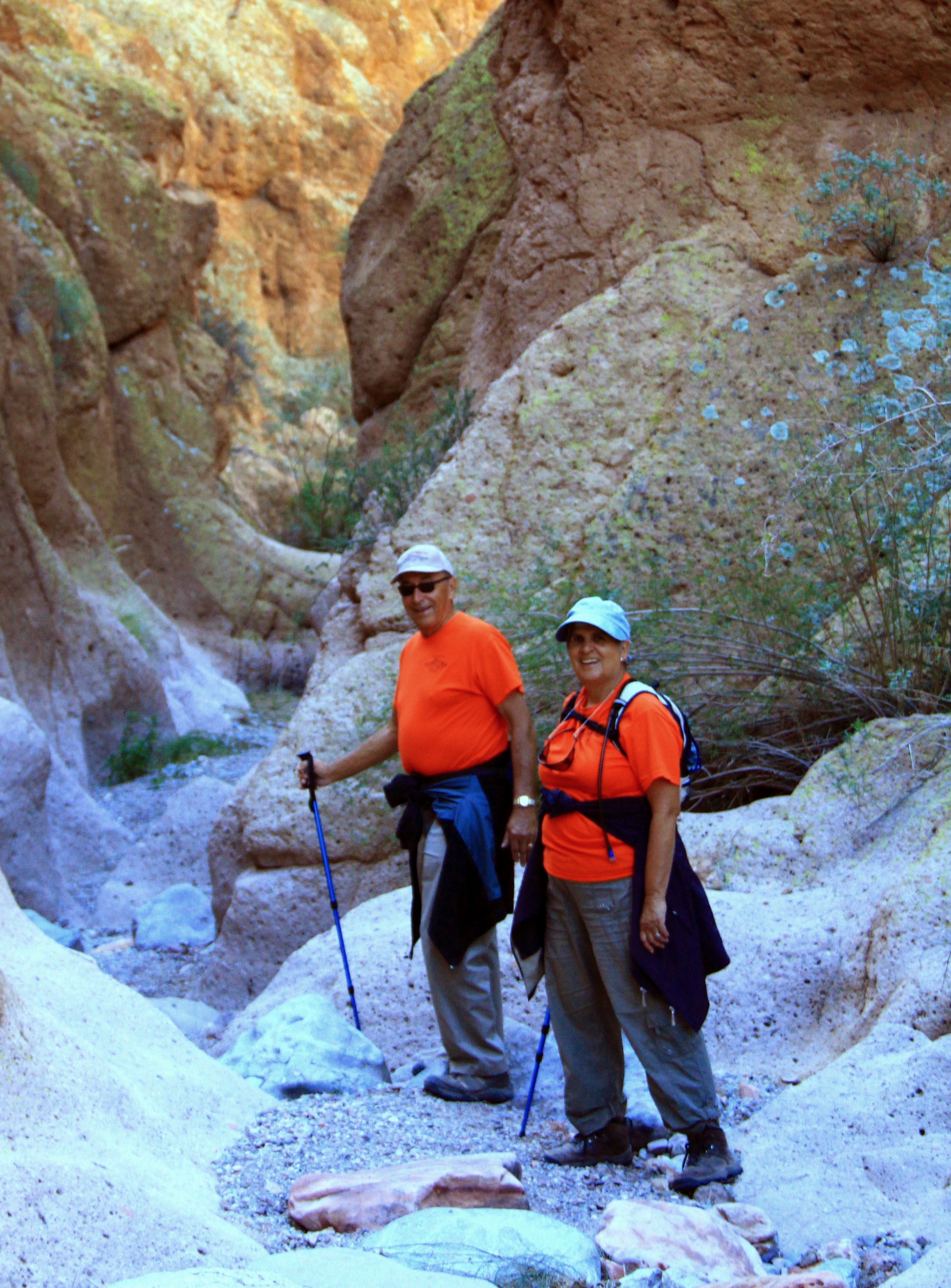
Wednesday the group did three hikes.  A few (nut cases) headed south to the challenge of climbing Picacho Peak, and the rest of us headed up the Apache Trail past Tortilla Flat to Forest Route 80 and the “trailhead” above Horse Mesa Dam.

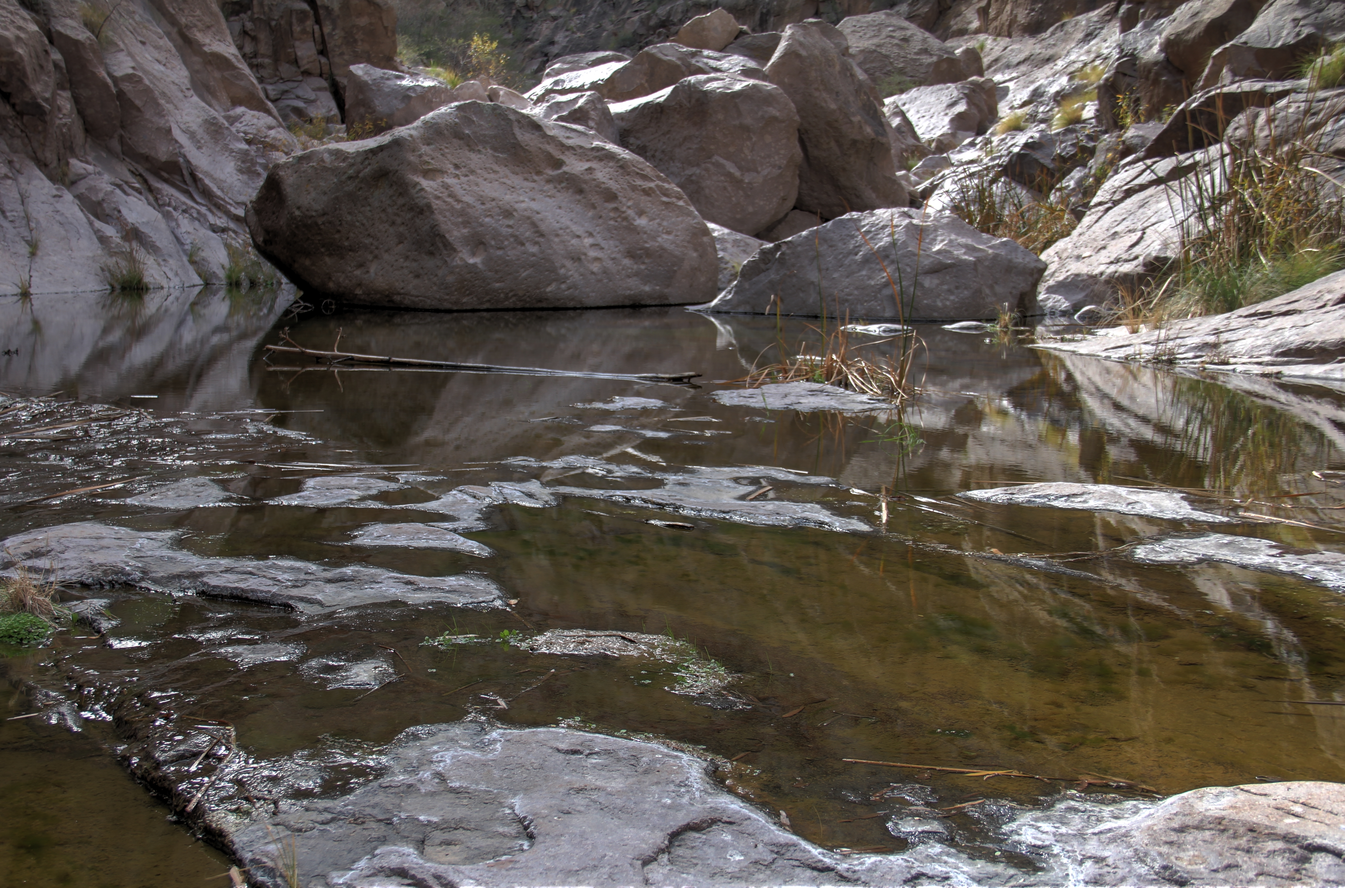
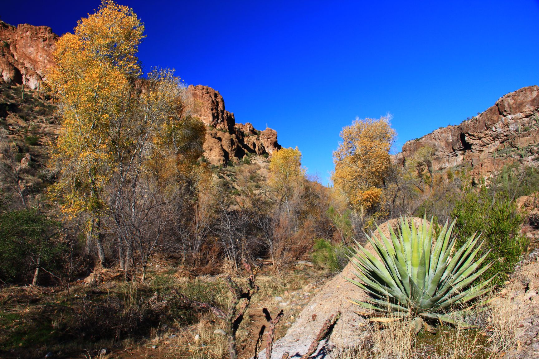
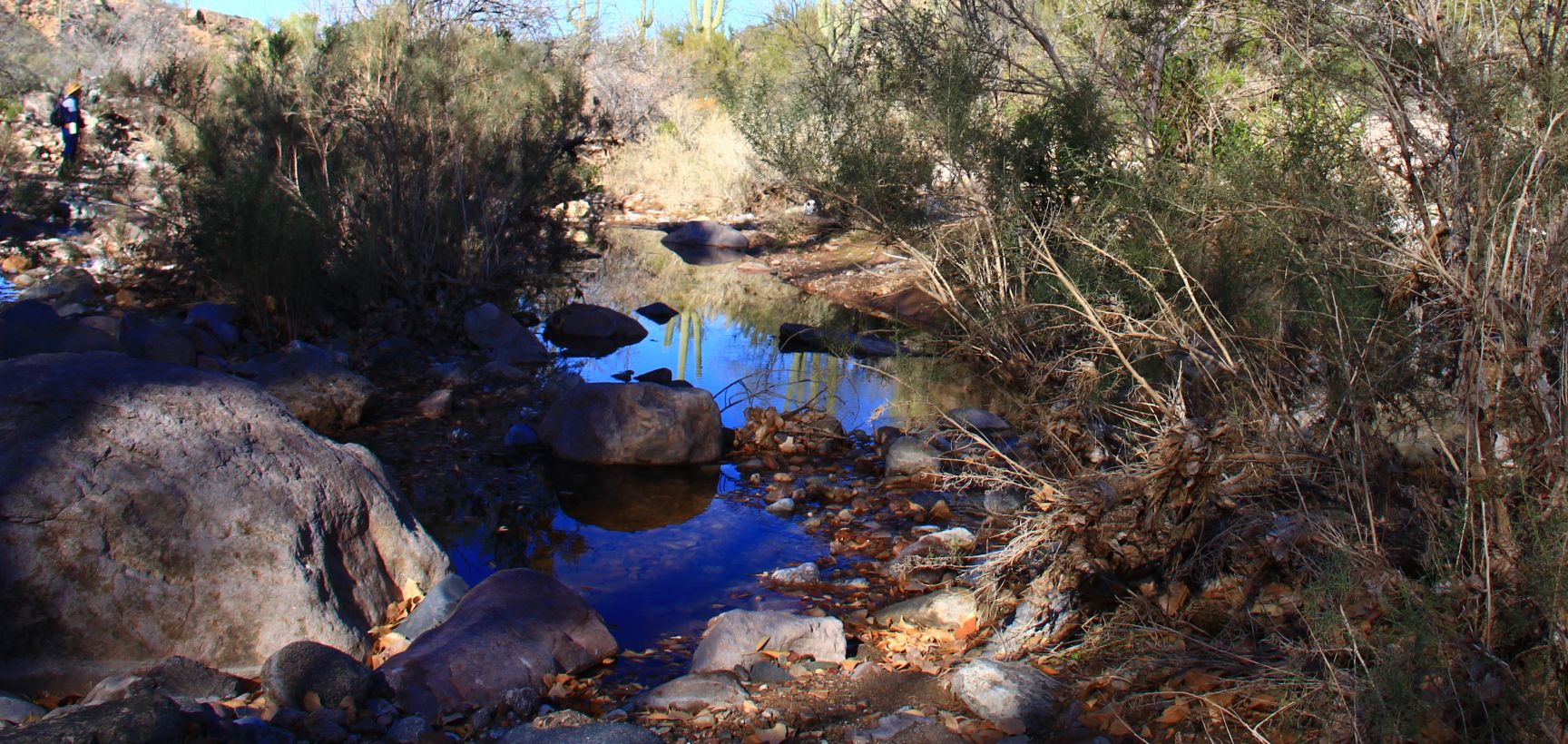
There we did a bifurcated hike, with half the group hiking down into Fish Creek Canyon (“Grand Canyon of the Superstitions” — see my blog from January of 2012) and the rest of us heading uphill to the top of Black Cross butte.

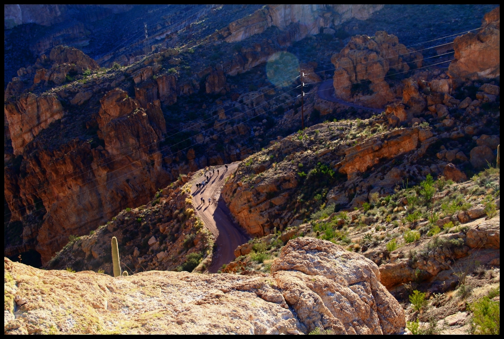
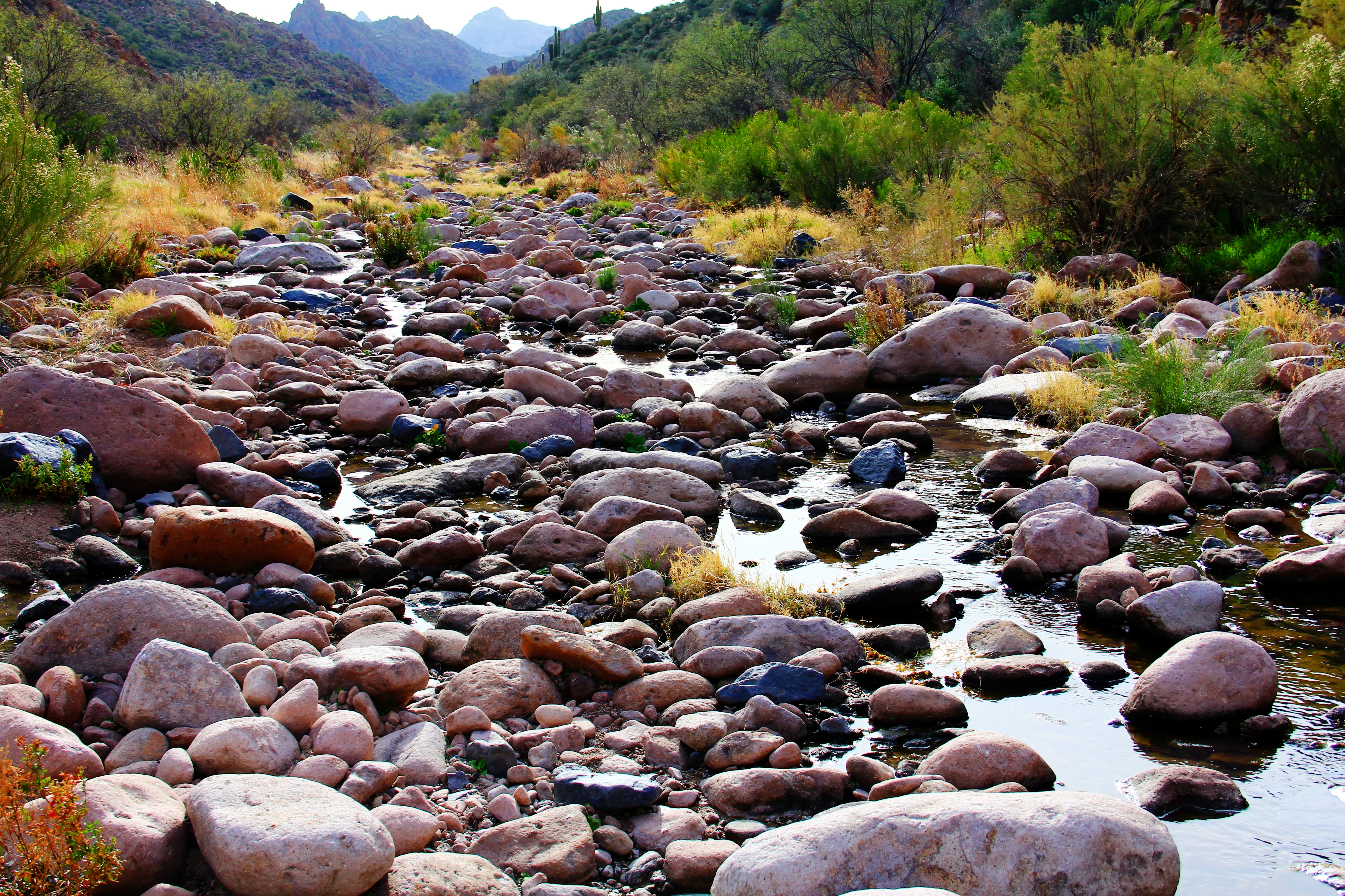
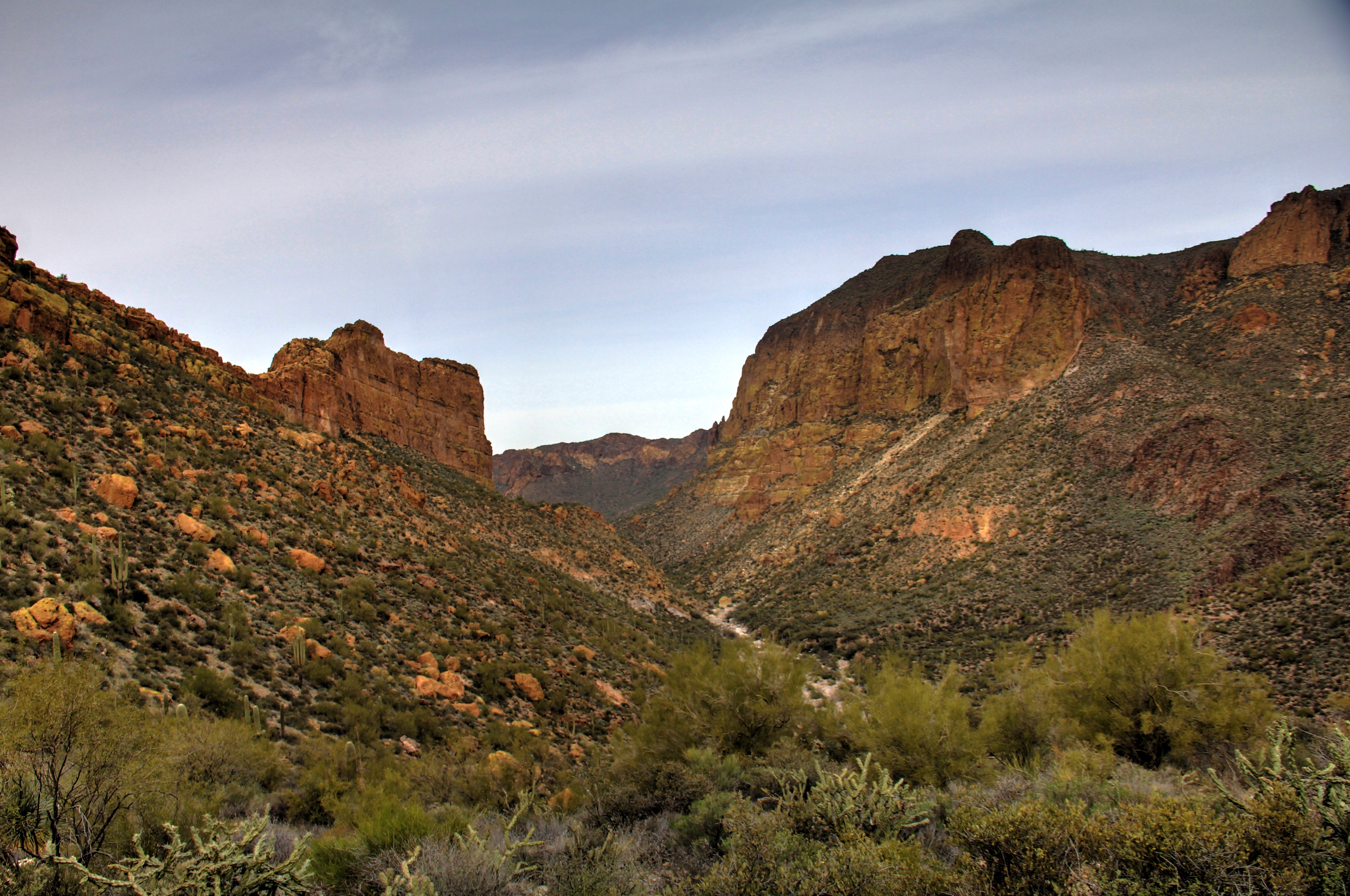
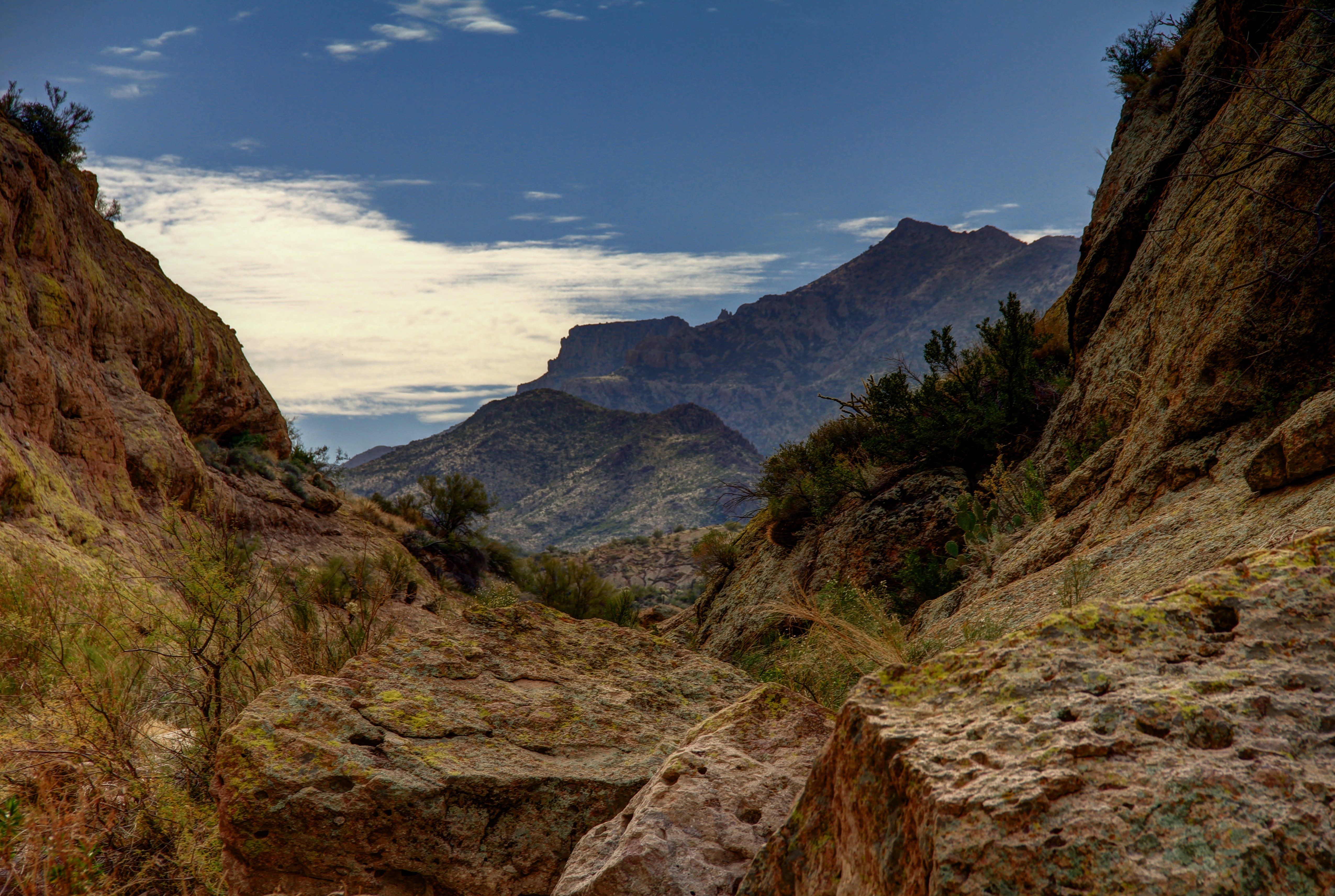
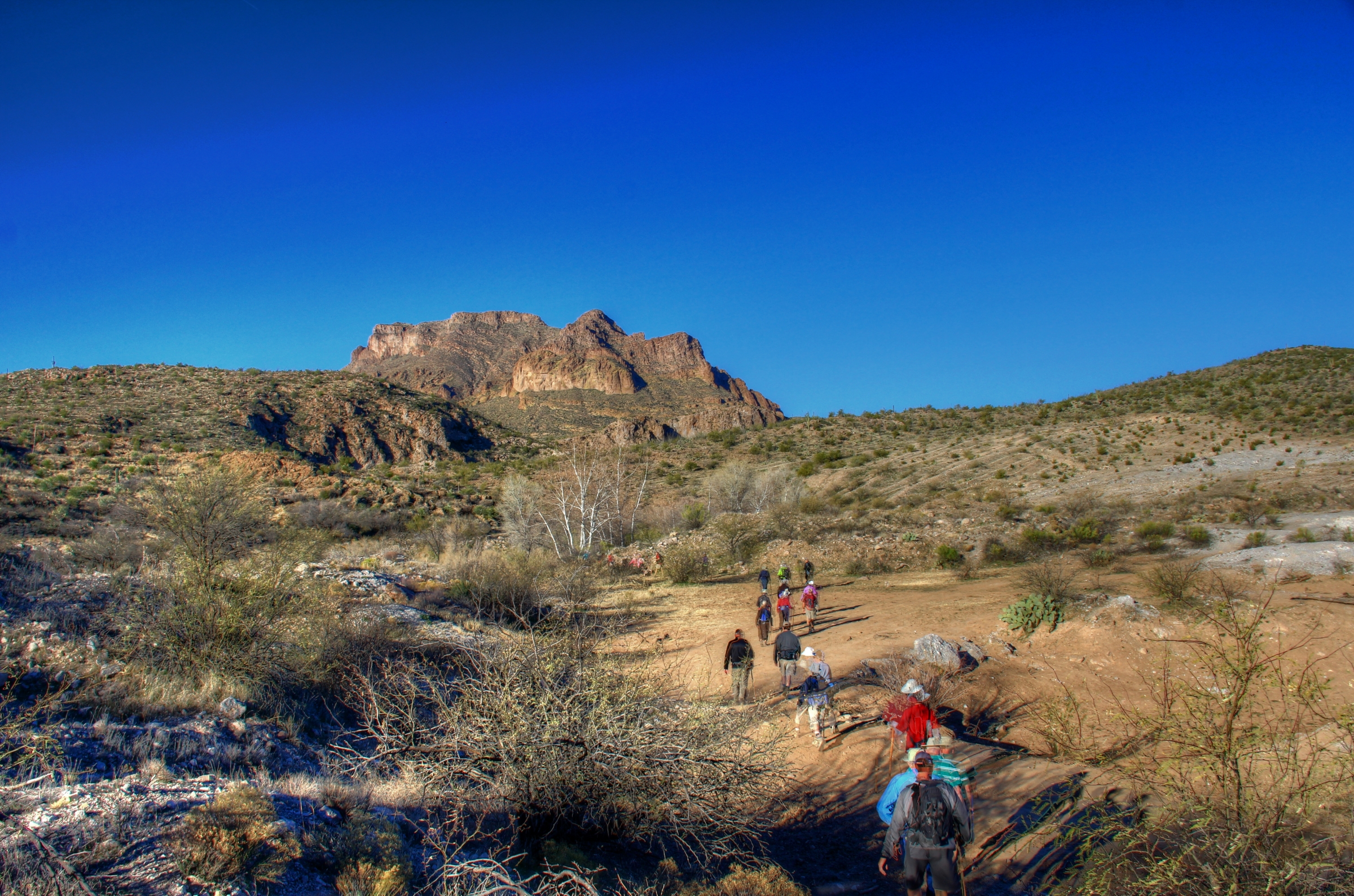
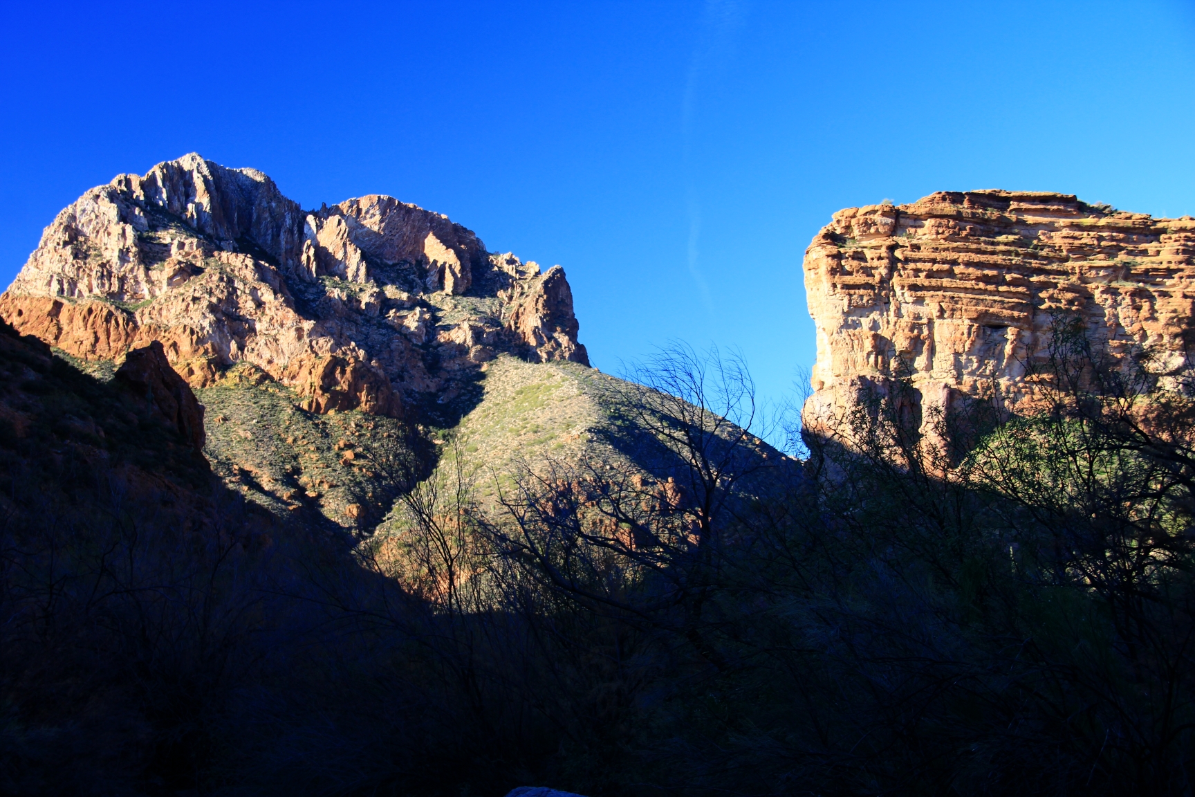
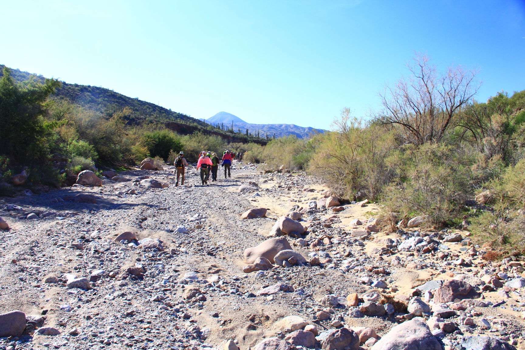
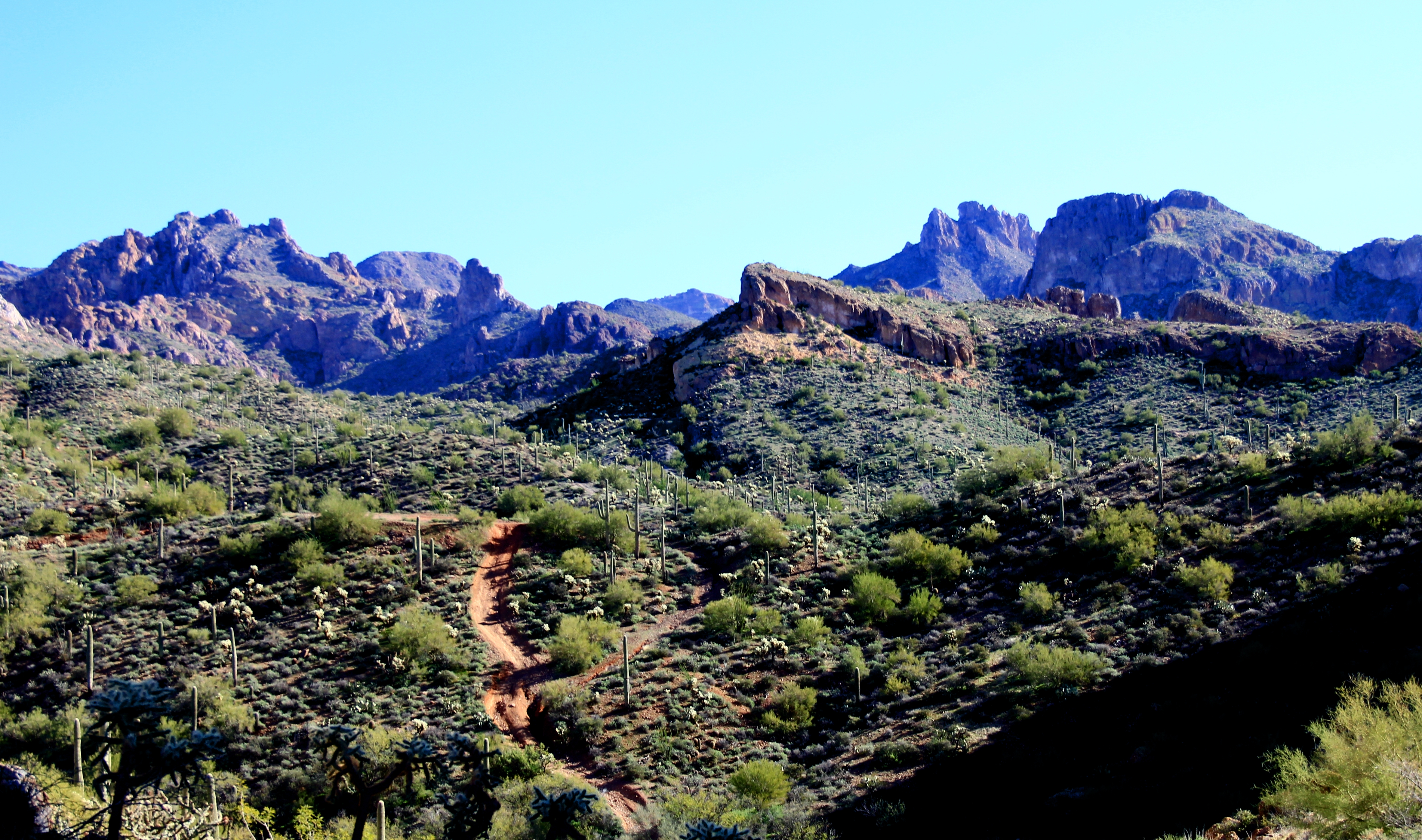
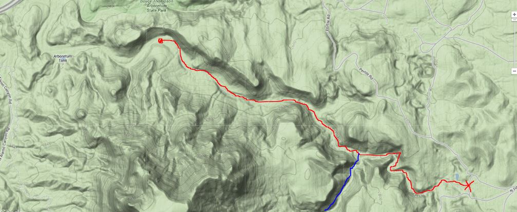
“You take the low road and I’ll take the high road” — below you see the canyon group heading down FR80 which will take them about 2.5 miles and 900 feet down to their turnaround spot.

1

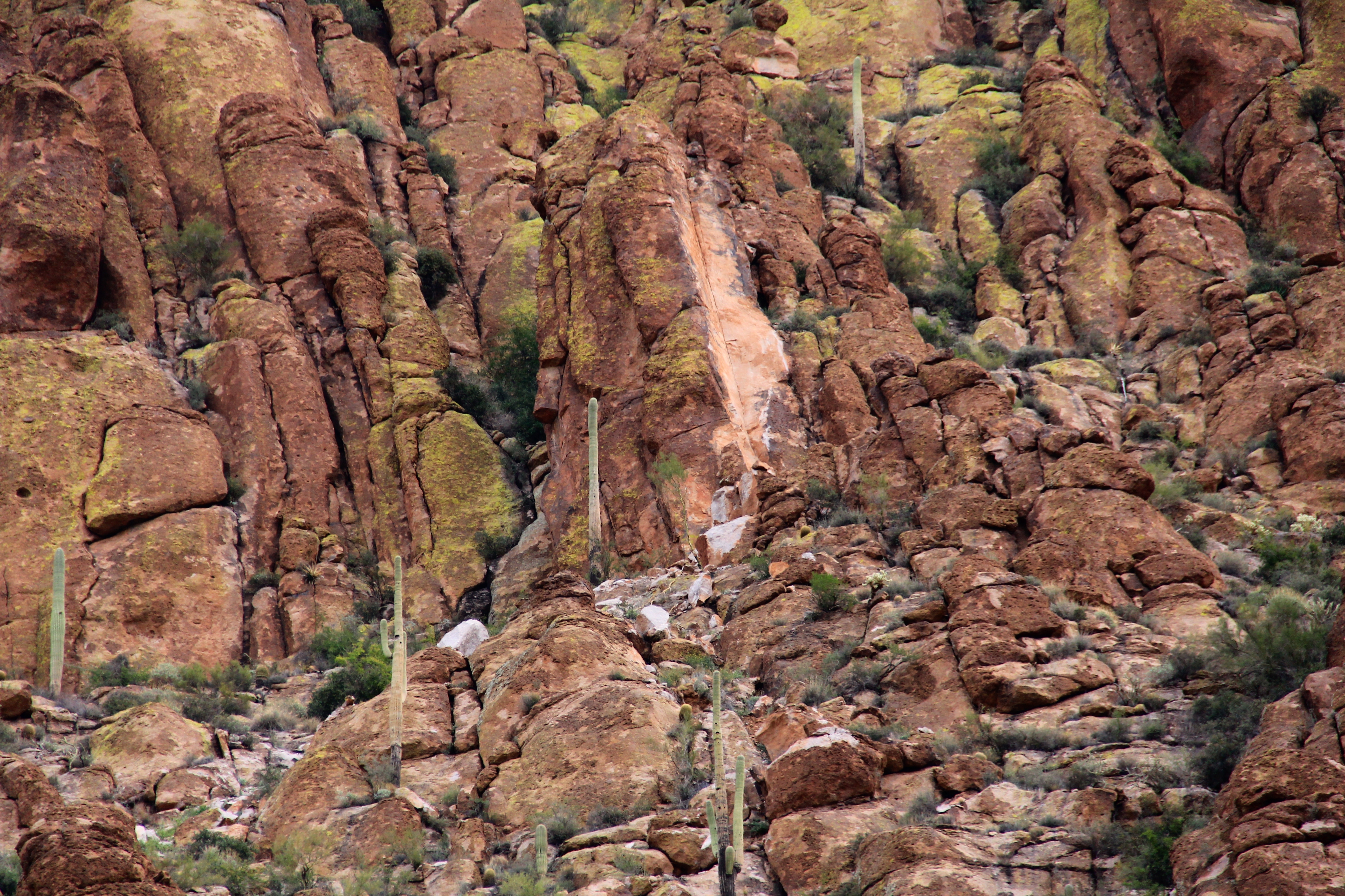
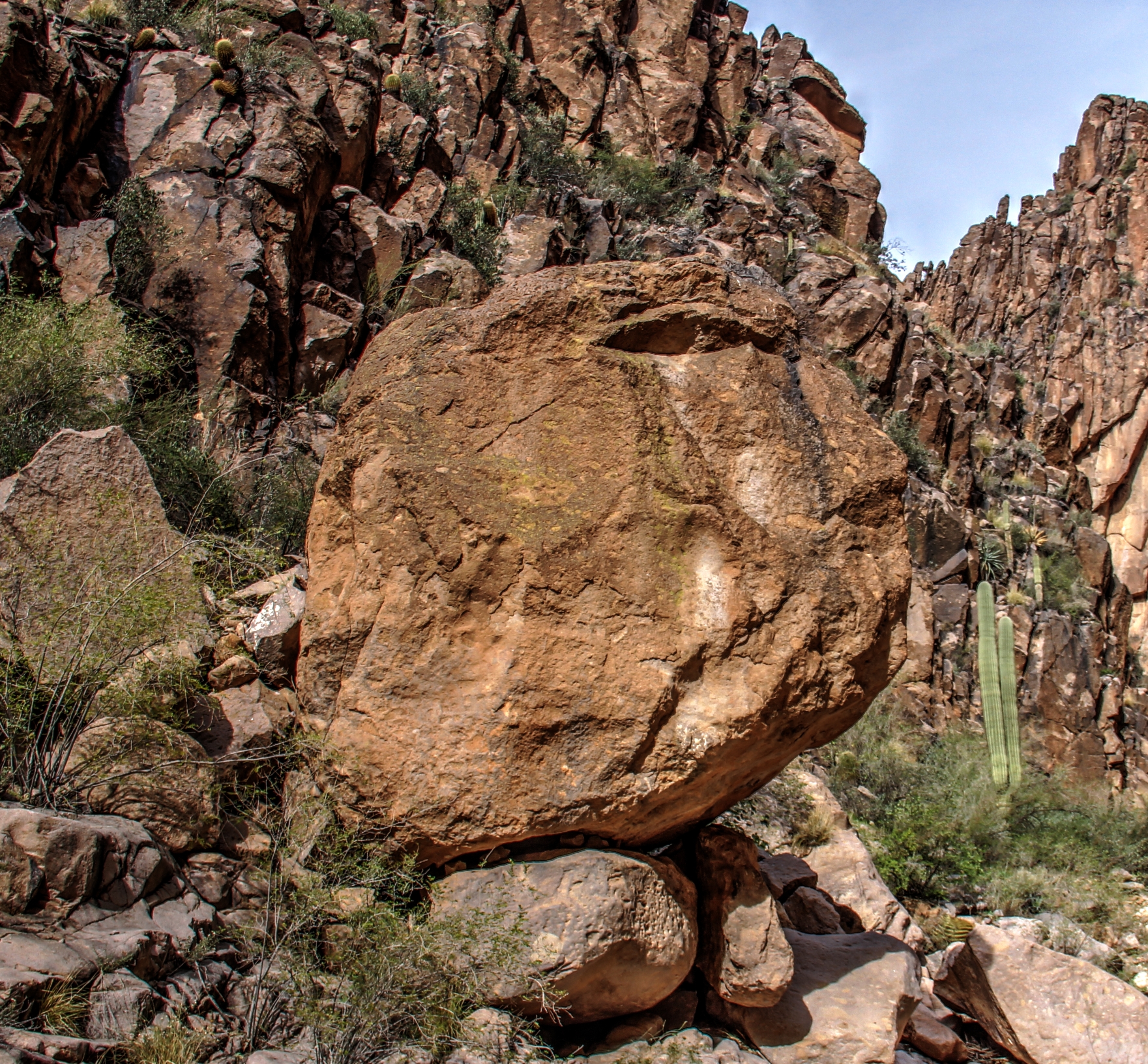
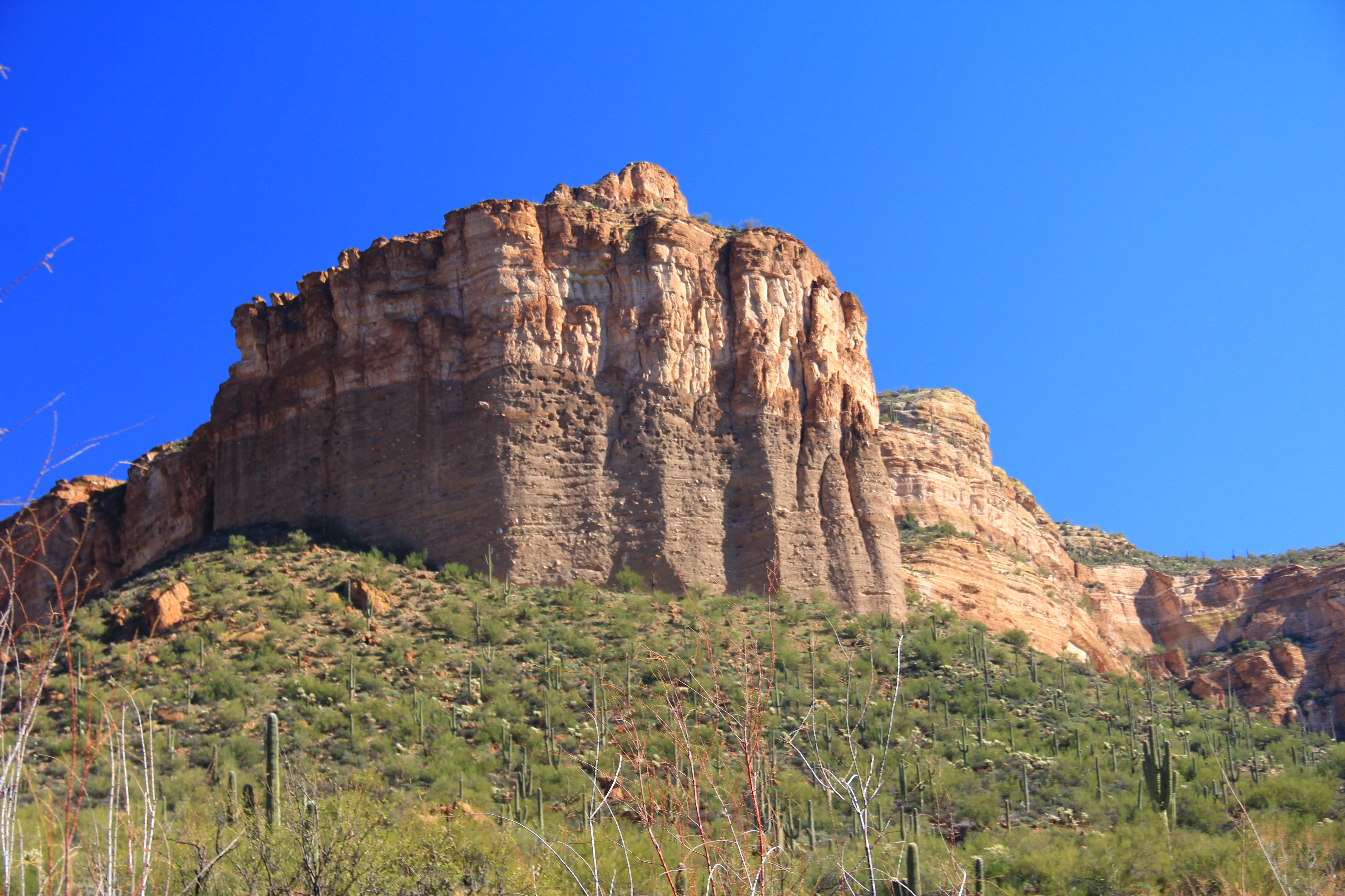
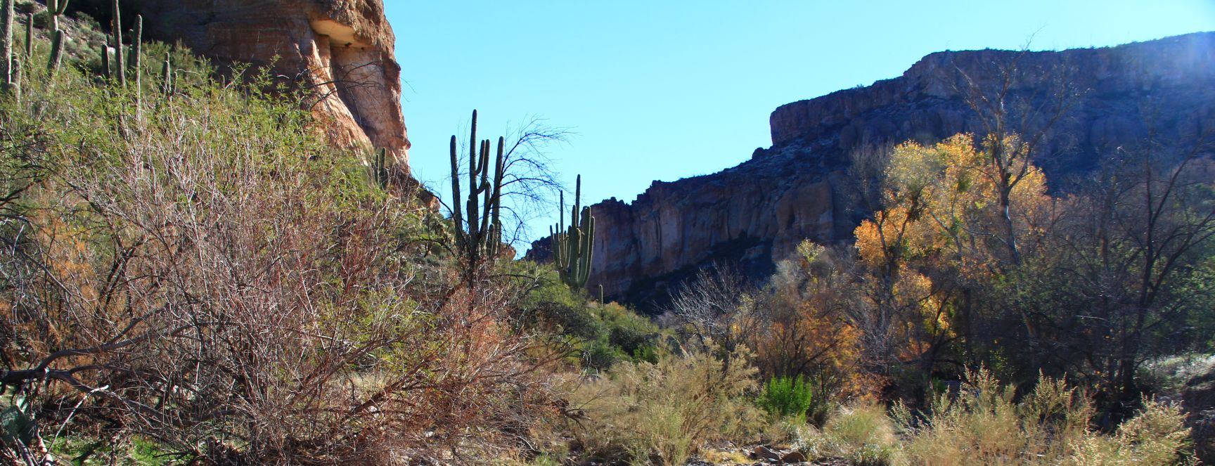
Our route will be uphill, about 1.5 miles with about 1100 feet of elevation gain over the route.  Our destination is the top of the butte seen at top center in the photo below, and the trail will NOT be a smooth one! Basically the route takes us to the bottom of the cliff in the foreground, then left and “off screen” and up and around on a path with some “edgy”  segments with “ball bearing” footing that would have turned me around for home a few years back.  Slow and easy does it!

2

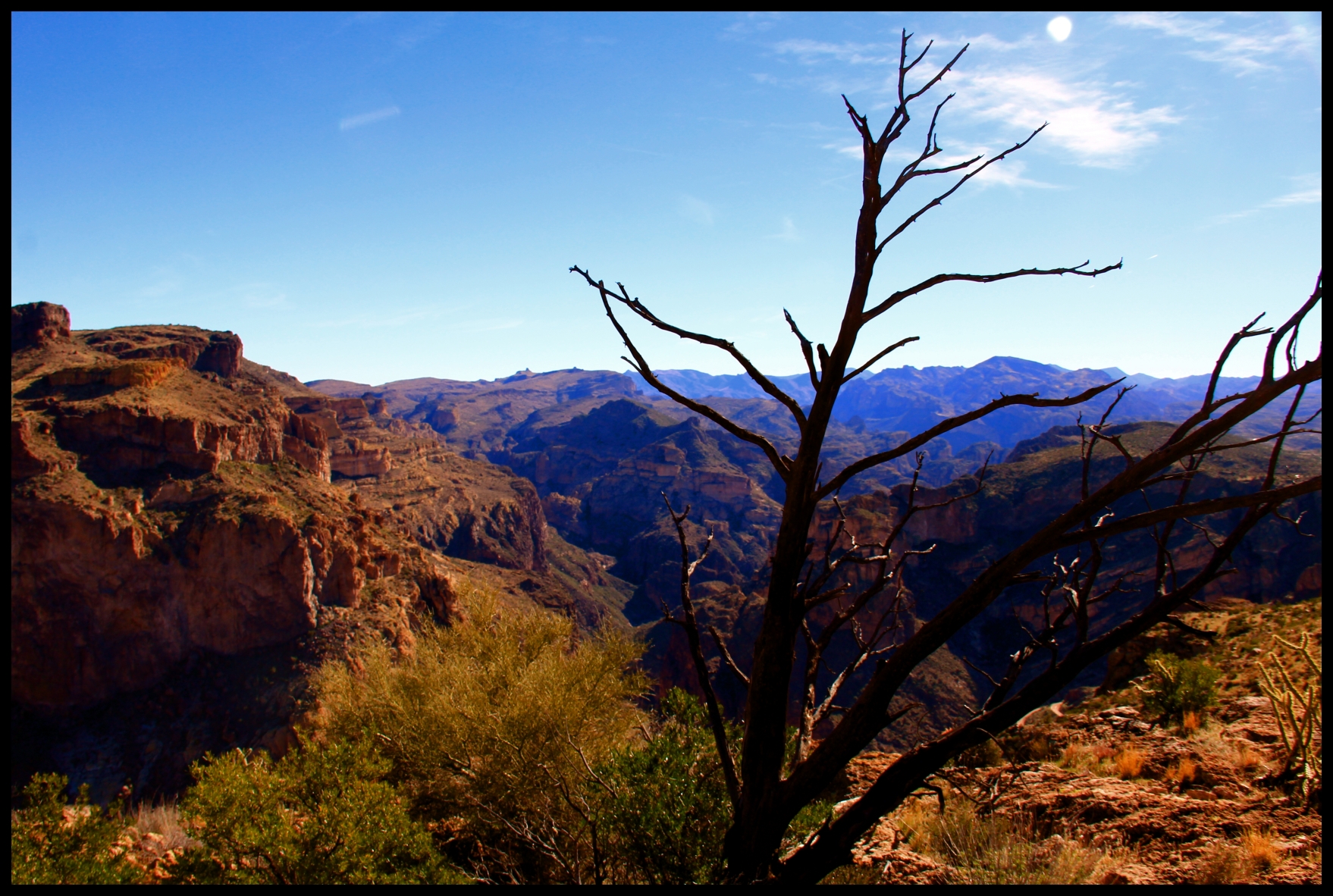
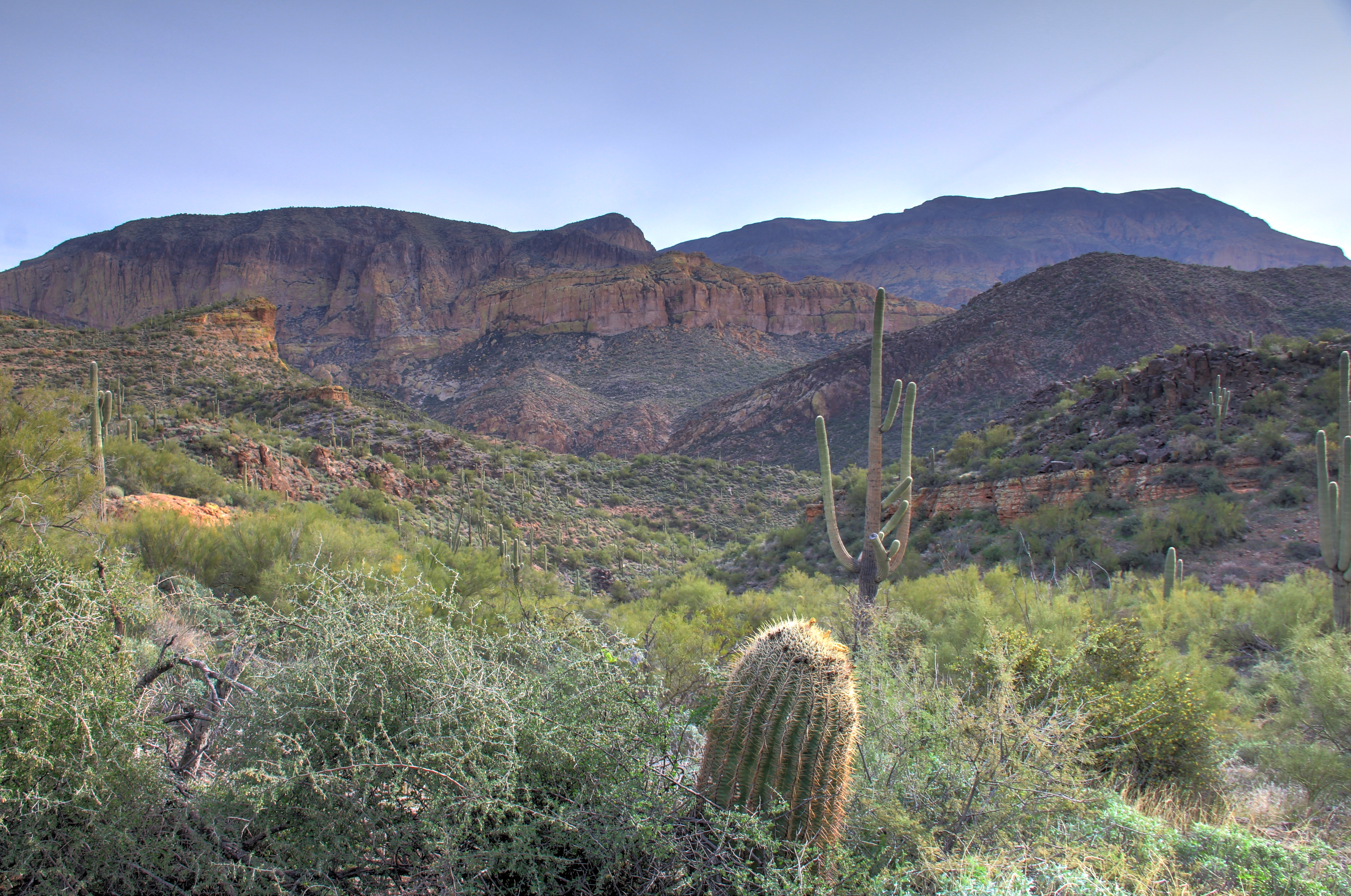
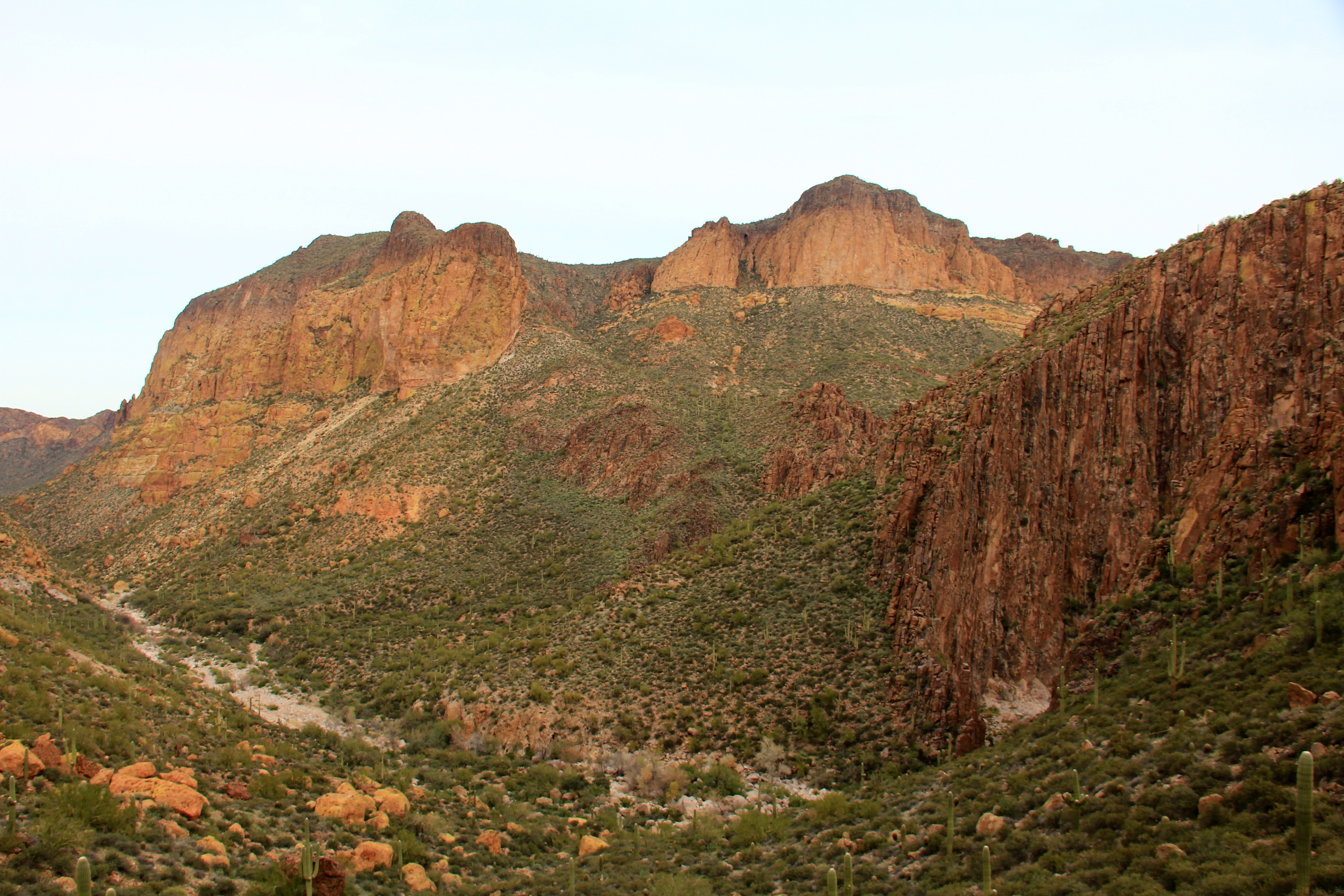
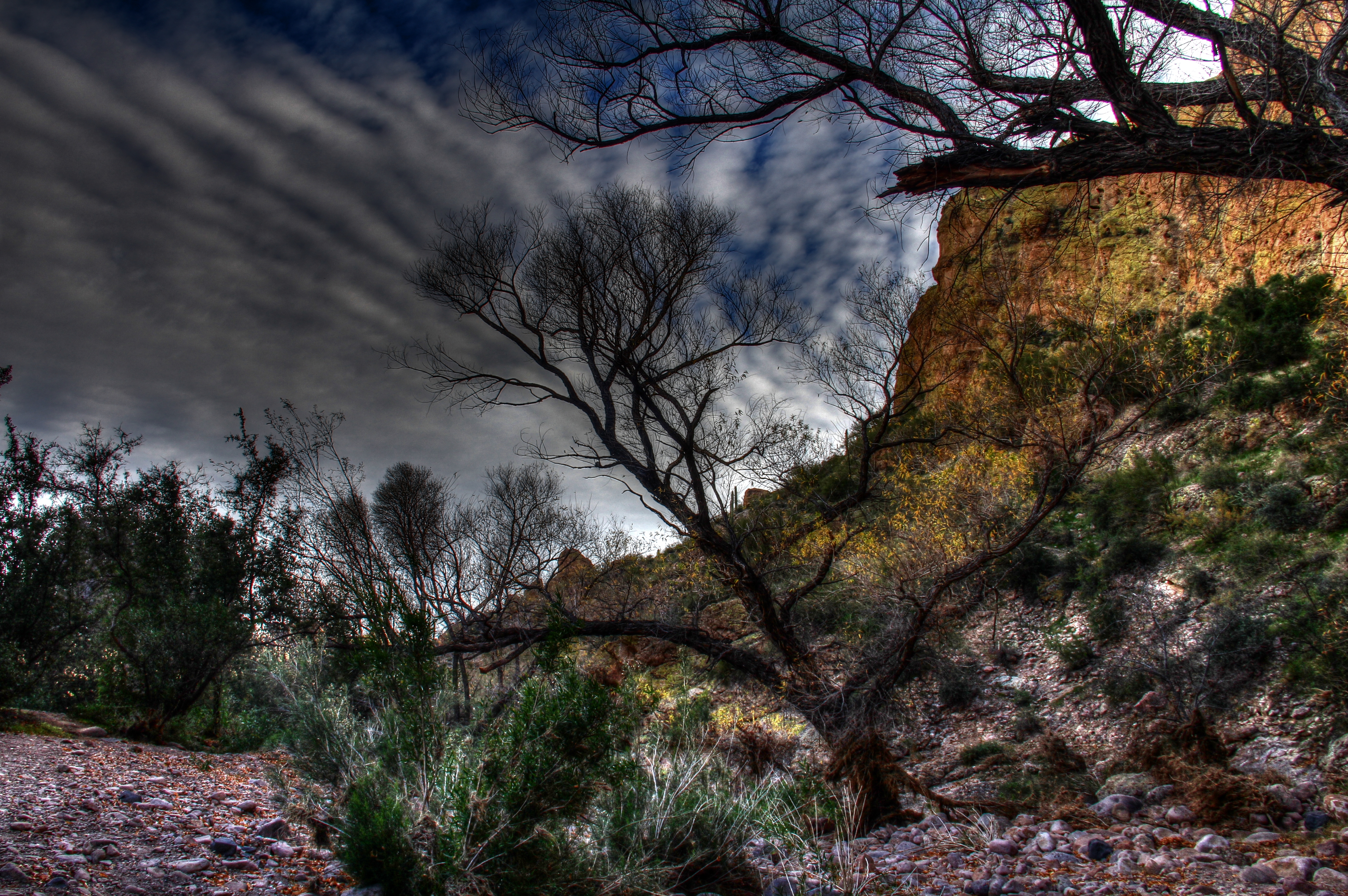
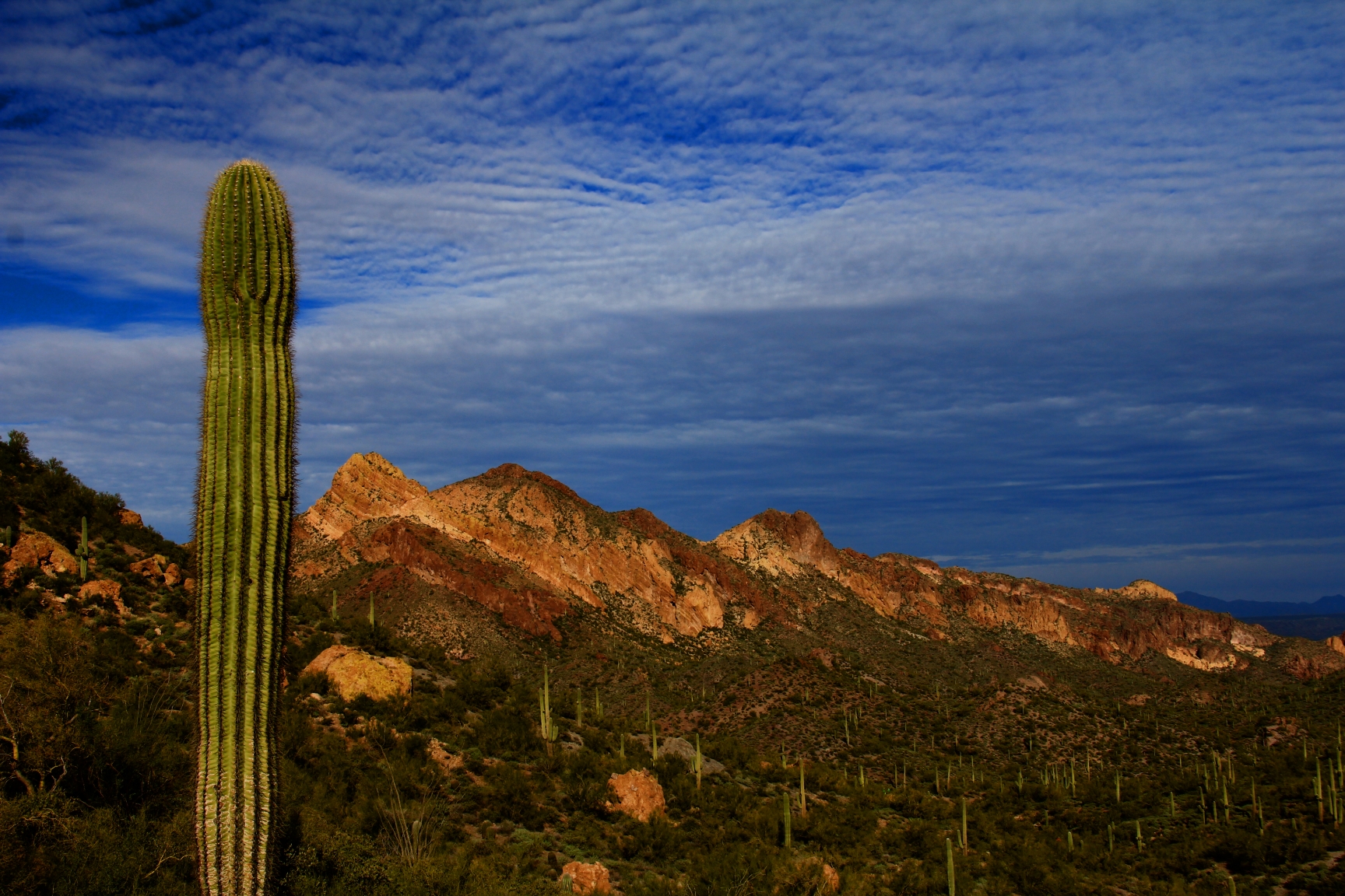
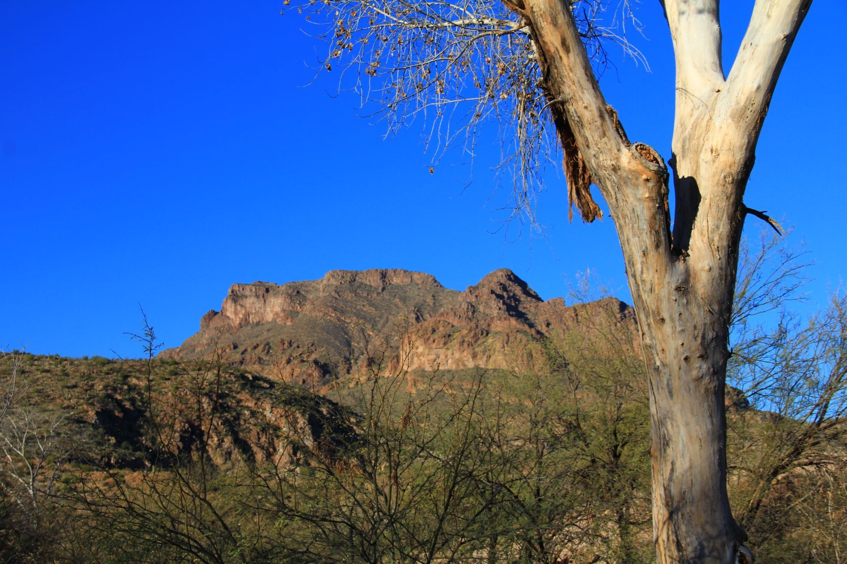
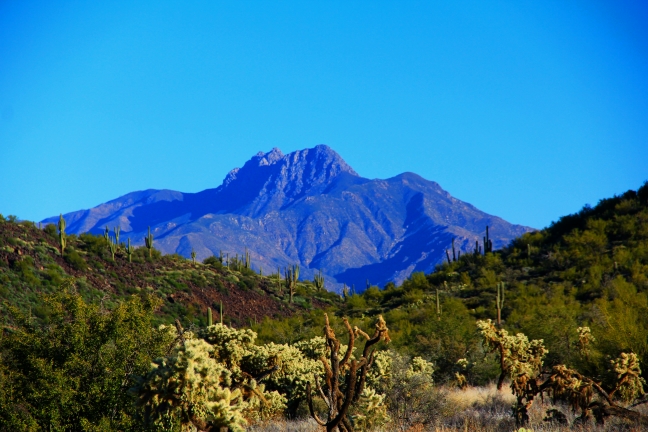
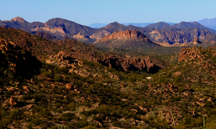
But the views are worth it!  Soon you gain some altitude above the surroundings, and long horizons over the wilderness are the order of the day.  The formation at the left horizon is the Flatiron, I’d guess about 15 miles distant.

3

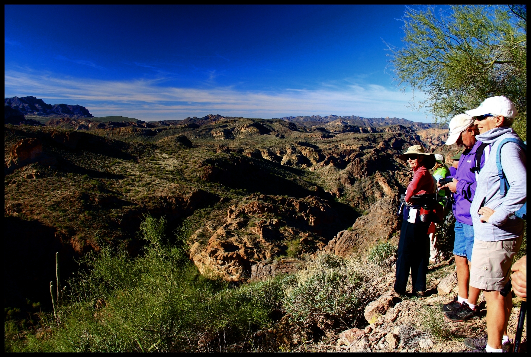
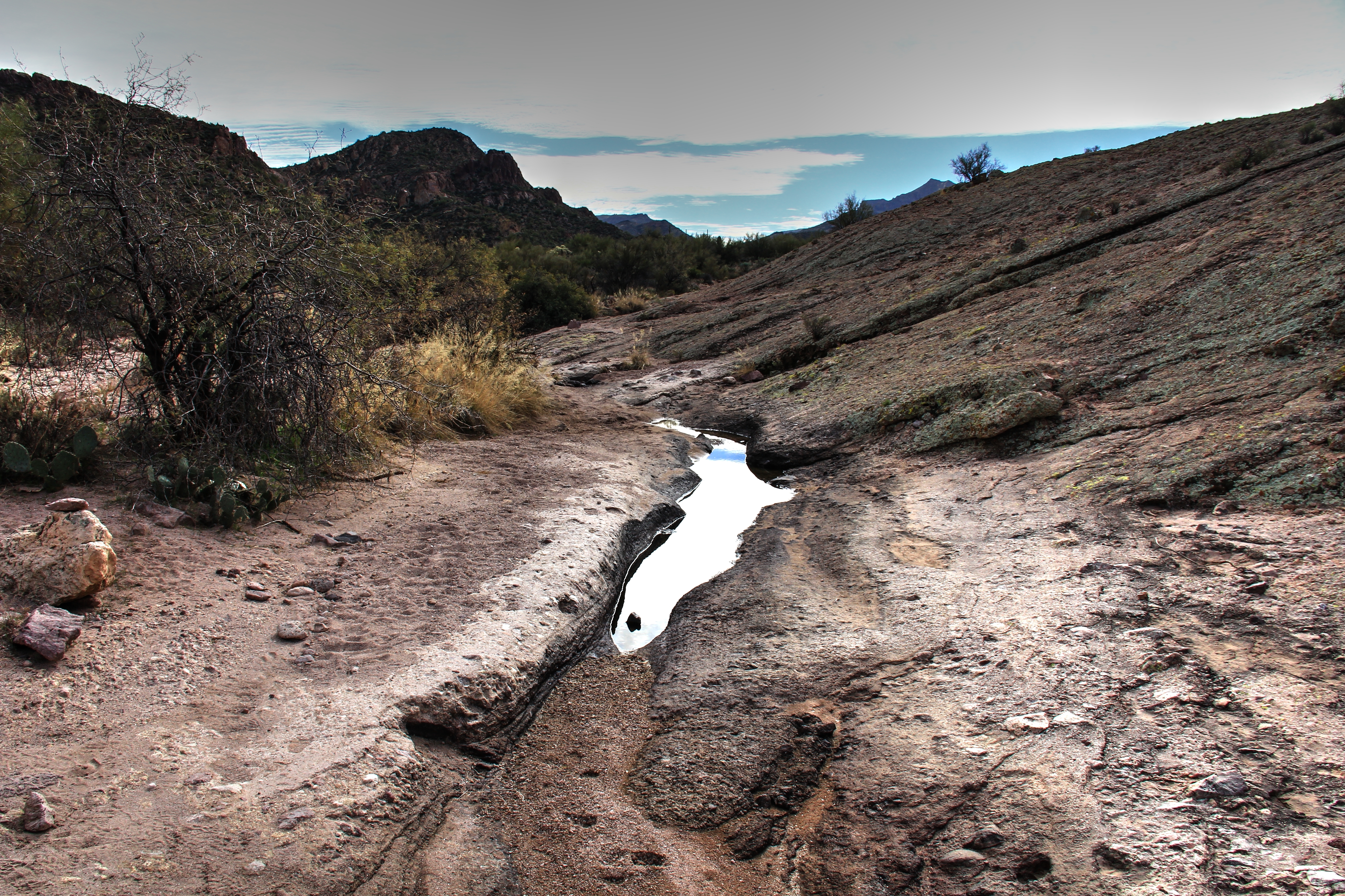
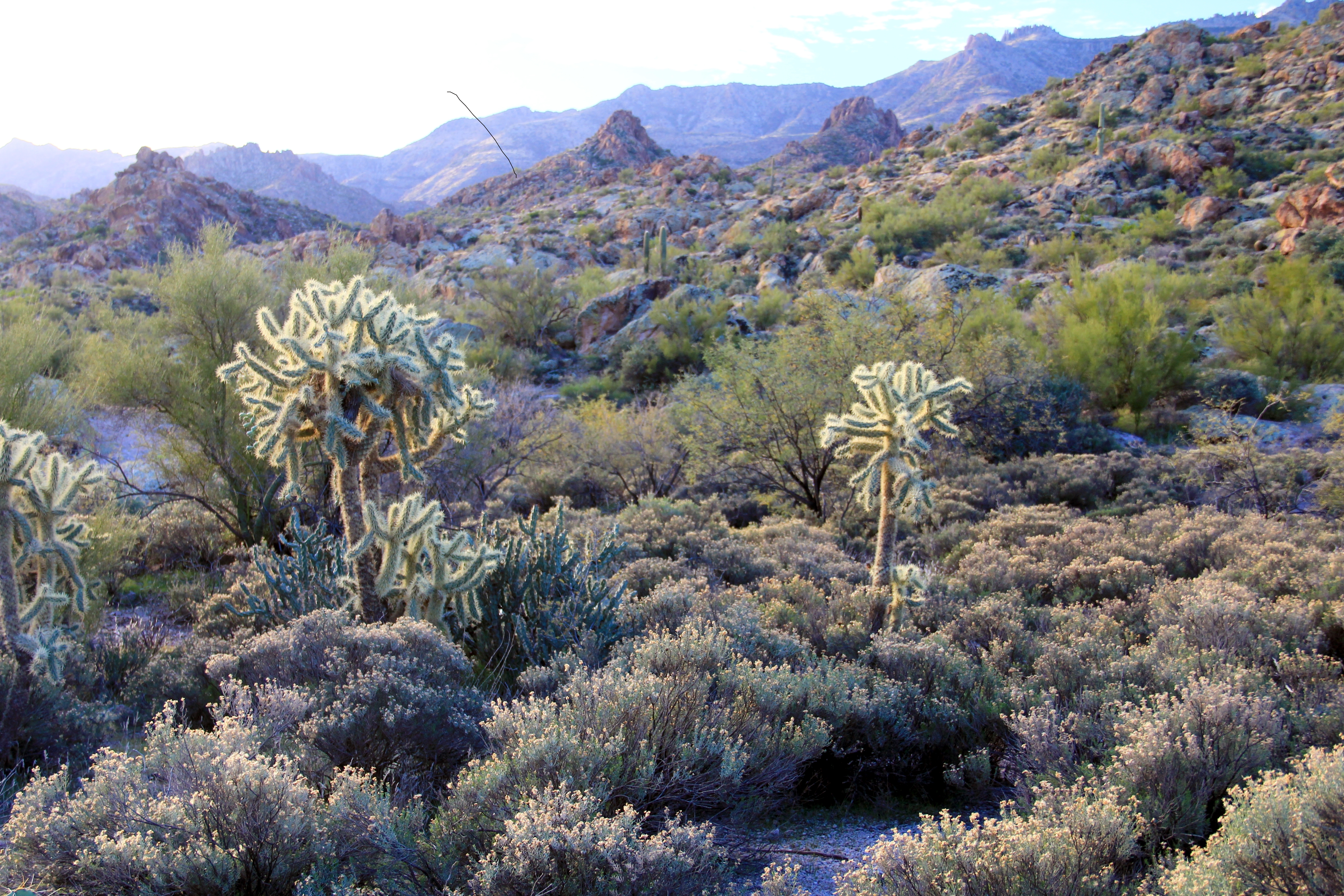
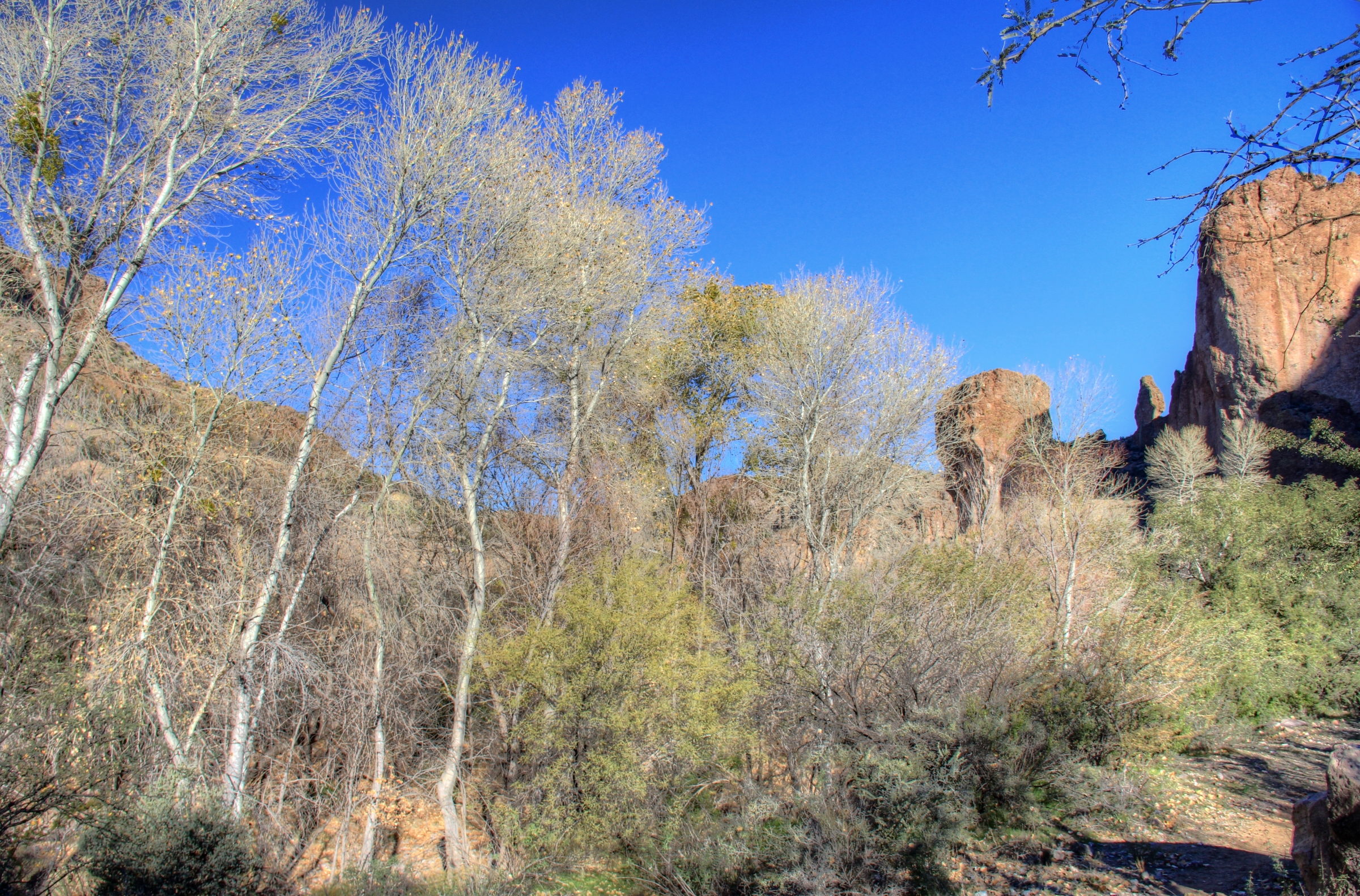
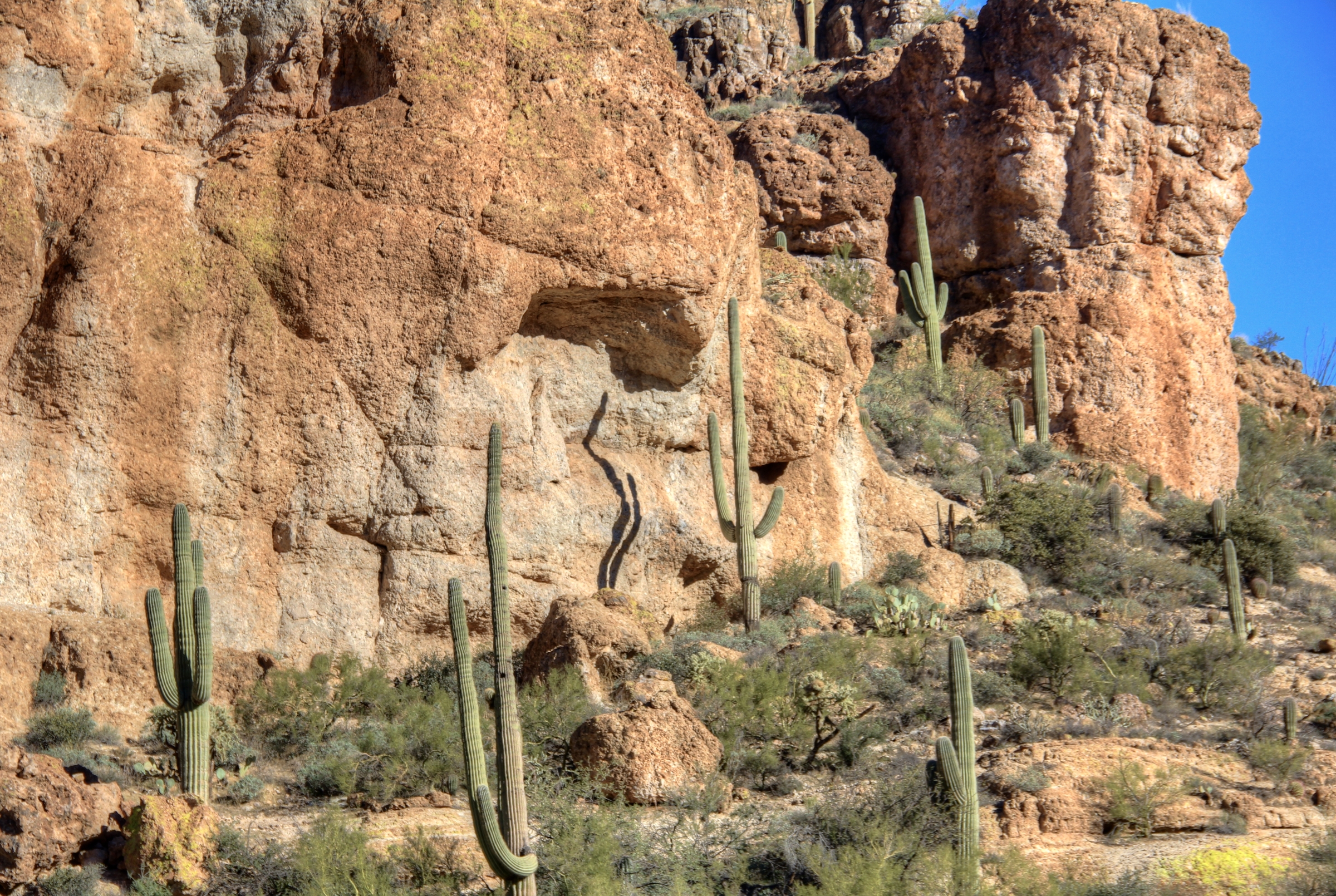
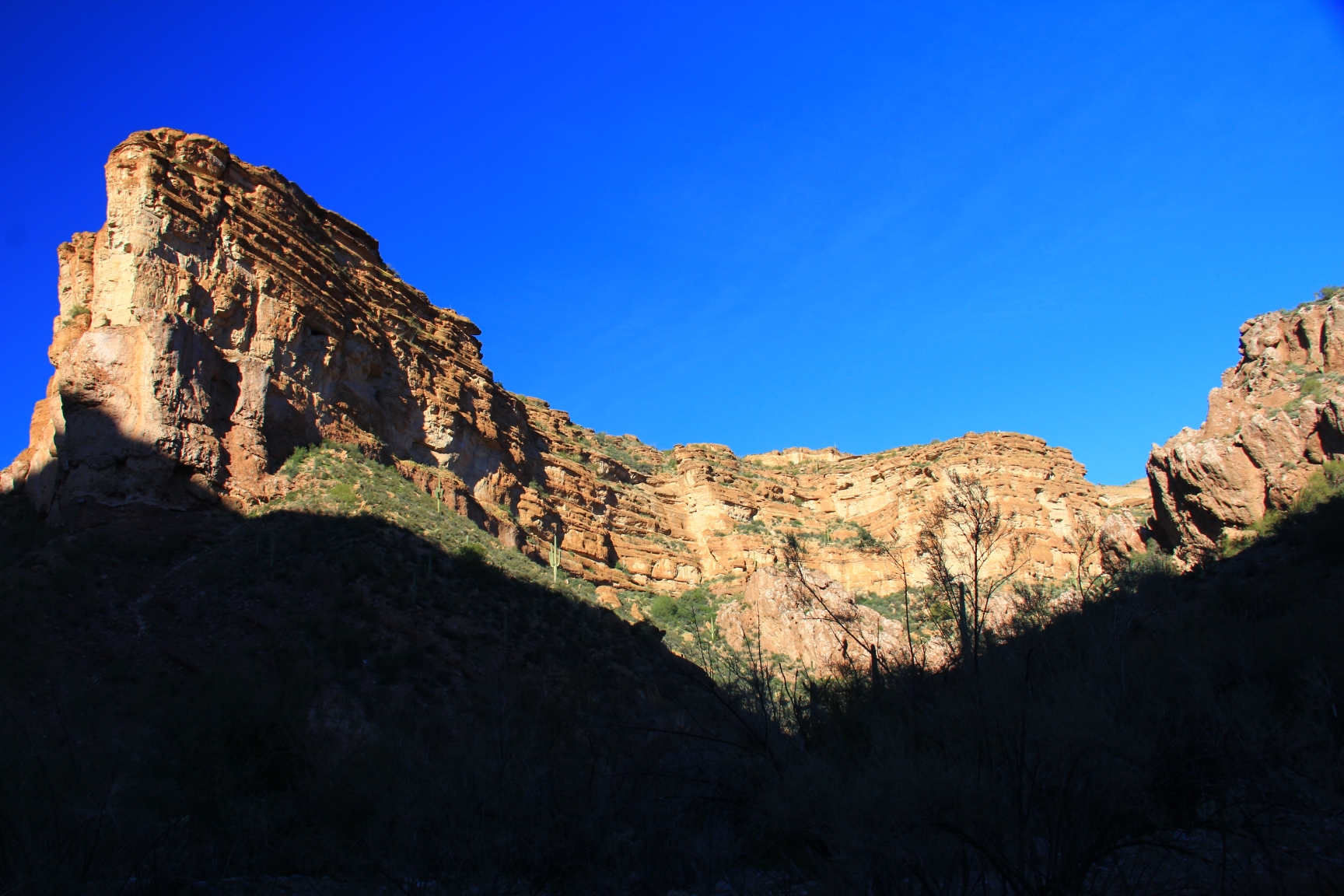
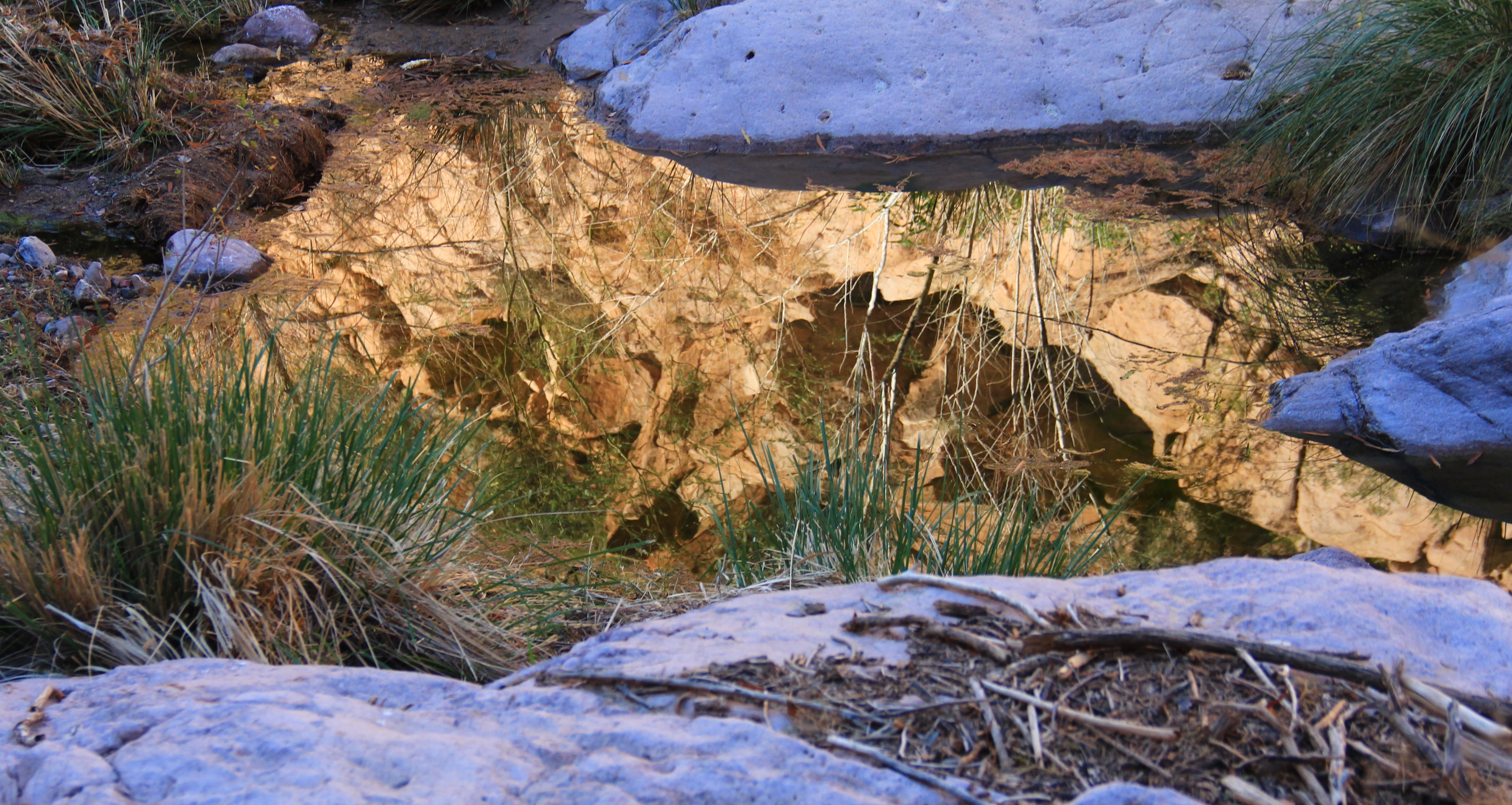
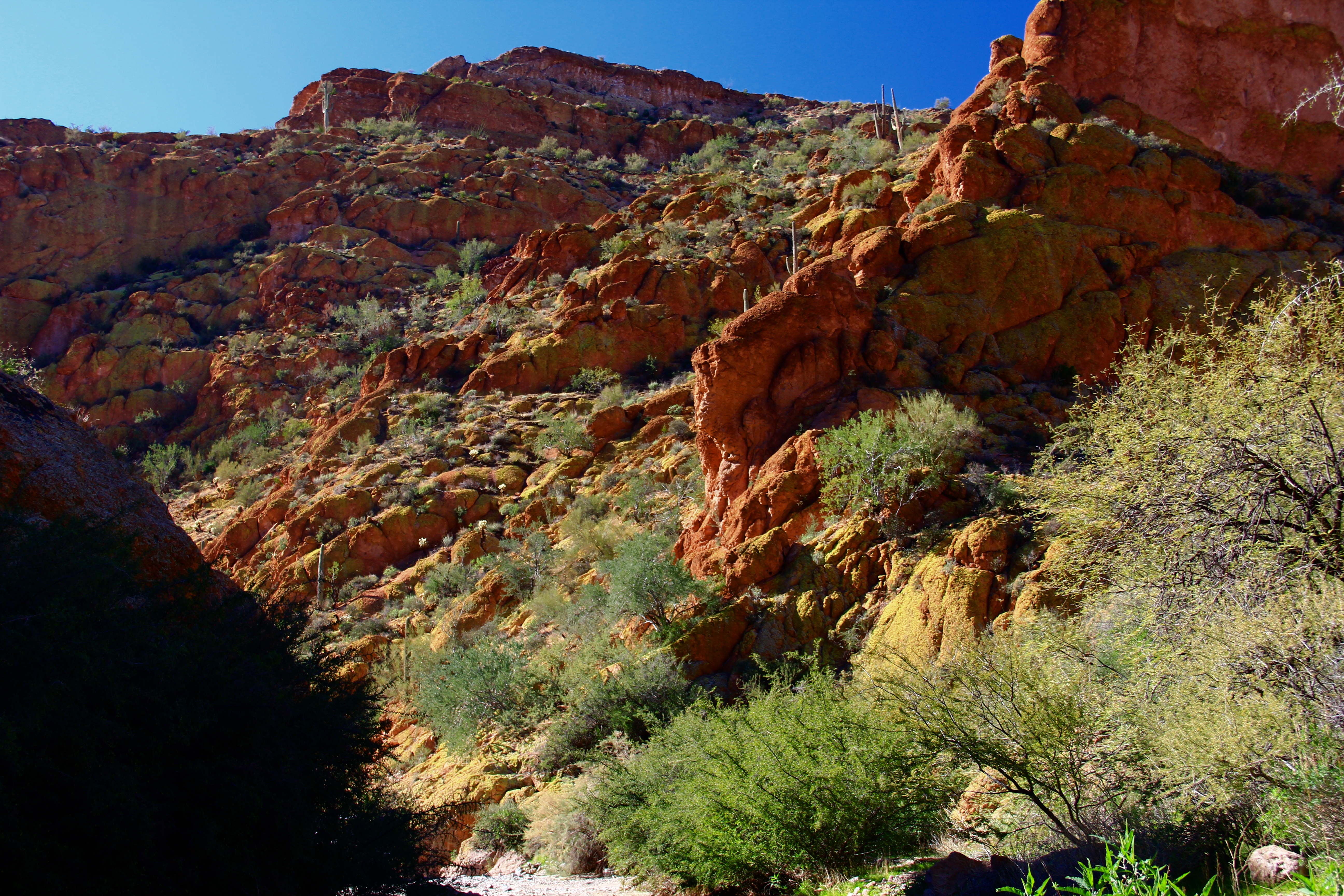
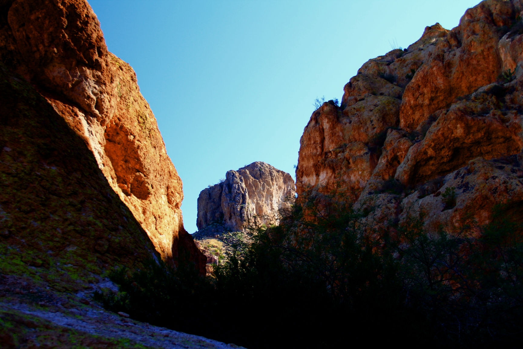
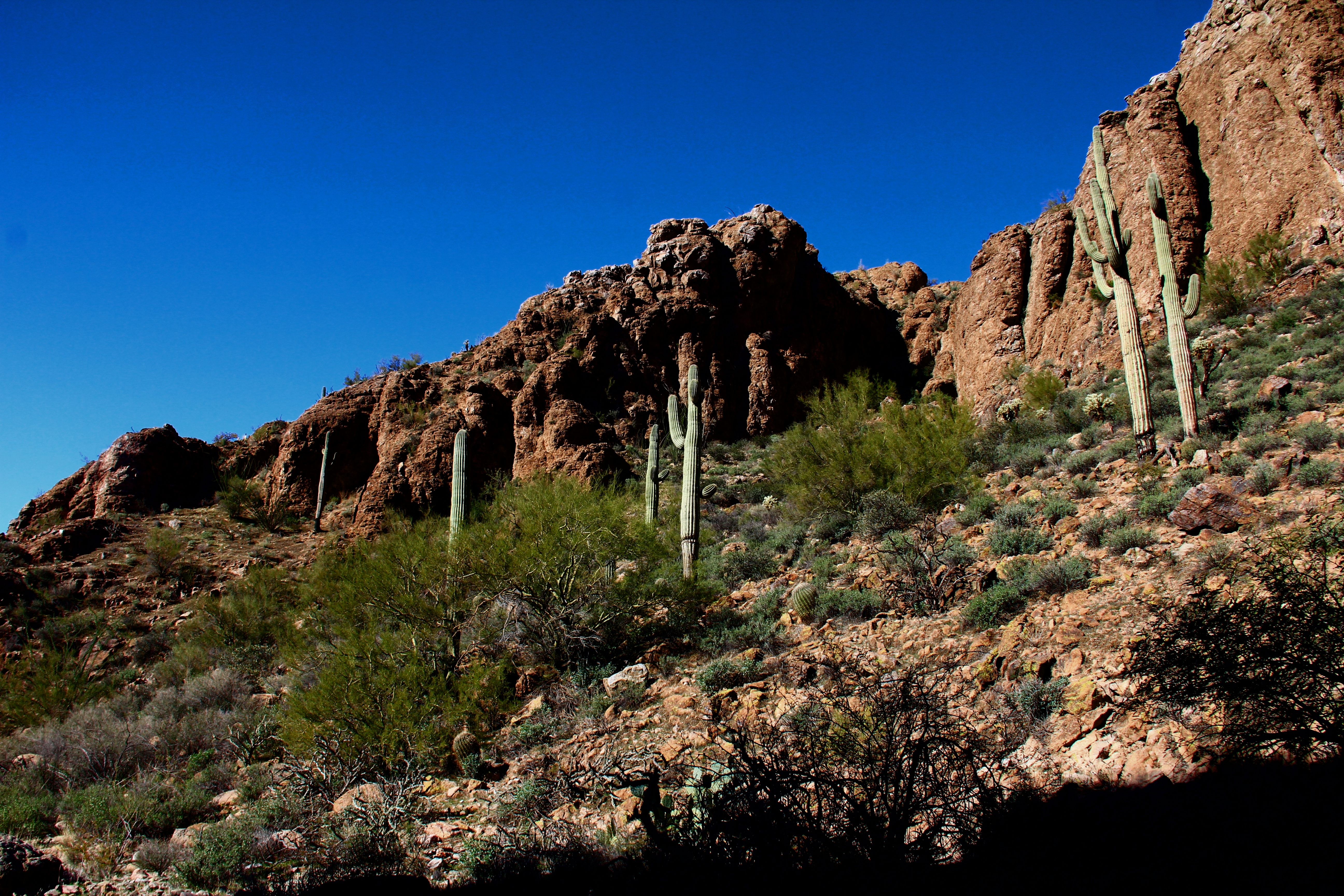
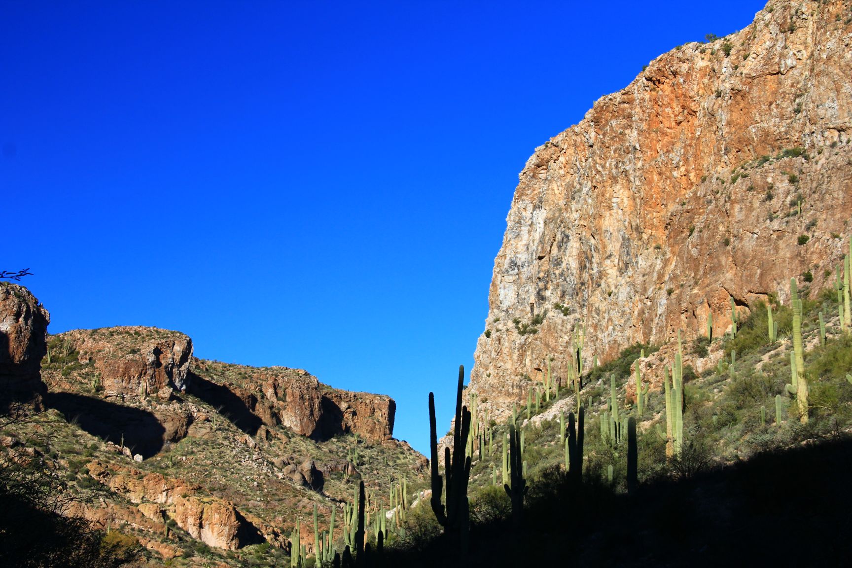
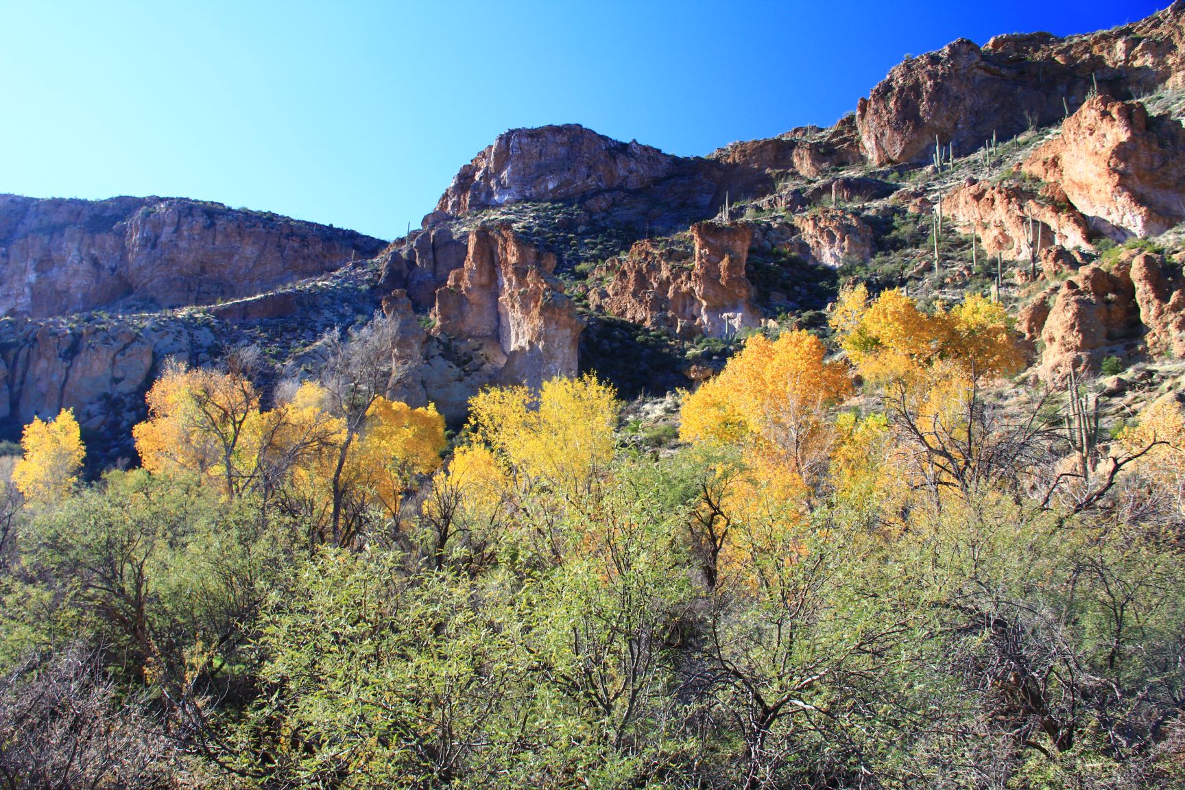
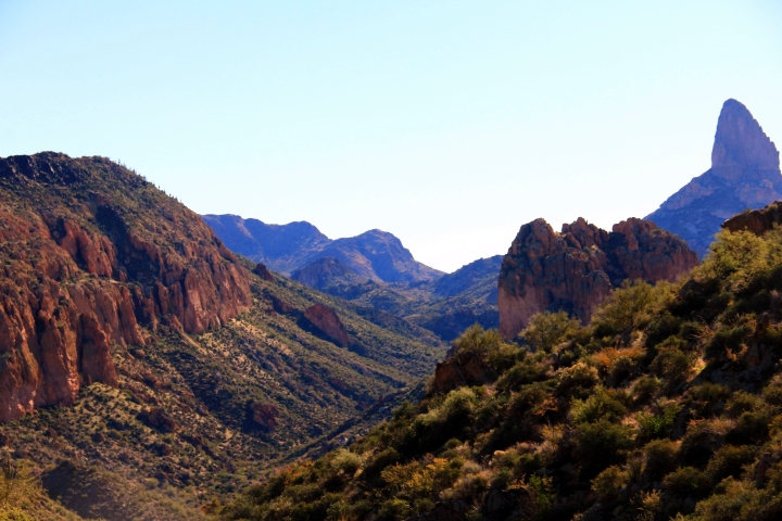
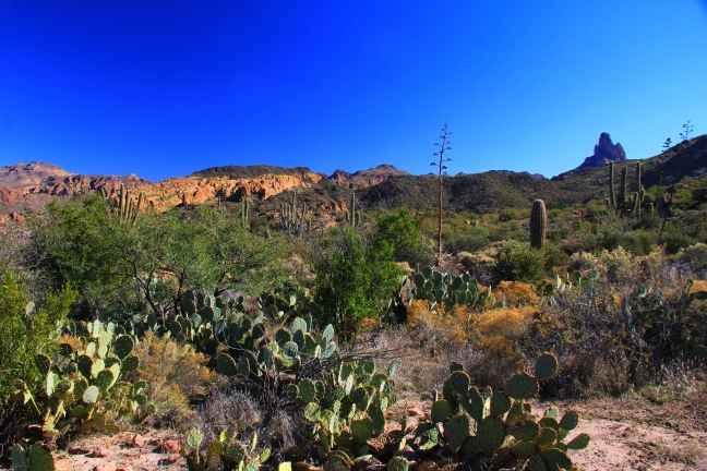
Here are some more views seen on the ascent.

4

4a

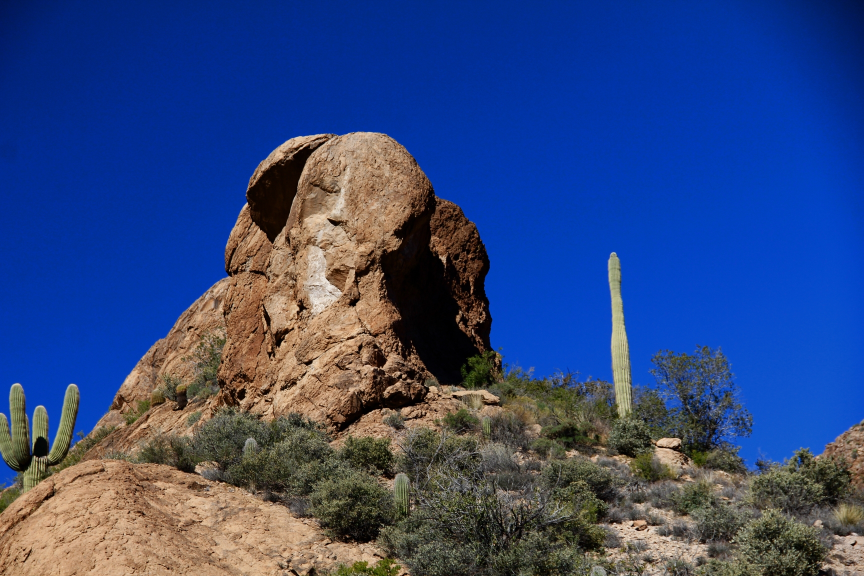
From time to time on these hikes we come across curious sights which cause you to scratch your noggin and try to imagine “what is this about?”.  Here, shortly after we reached the flat top of the butte, we came upon the scene below.  This circle is about 8-10 feet in diameter, and someone(s) spent a lot of energy in this remote spot to “make their mark”.

Note:  After publishing this hike, my “Lil Sis” Carolyn suggested that this circle might be a Native American medicine wheel.  After googling up some images, I’m certain that she’s right.  Thanks!

4b

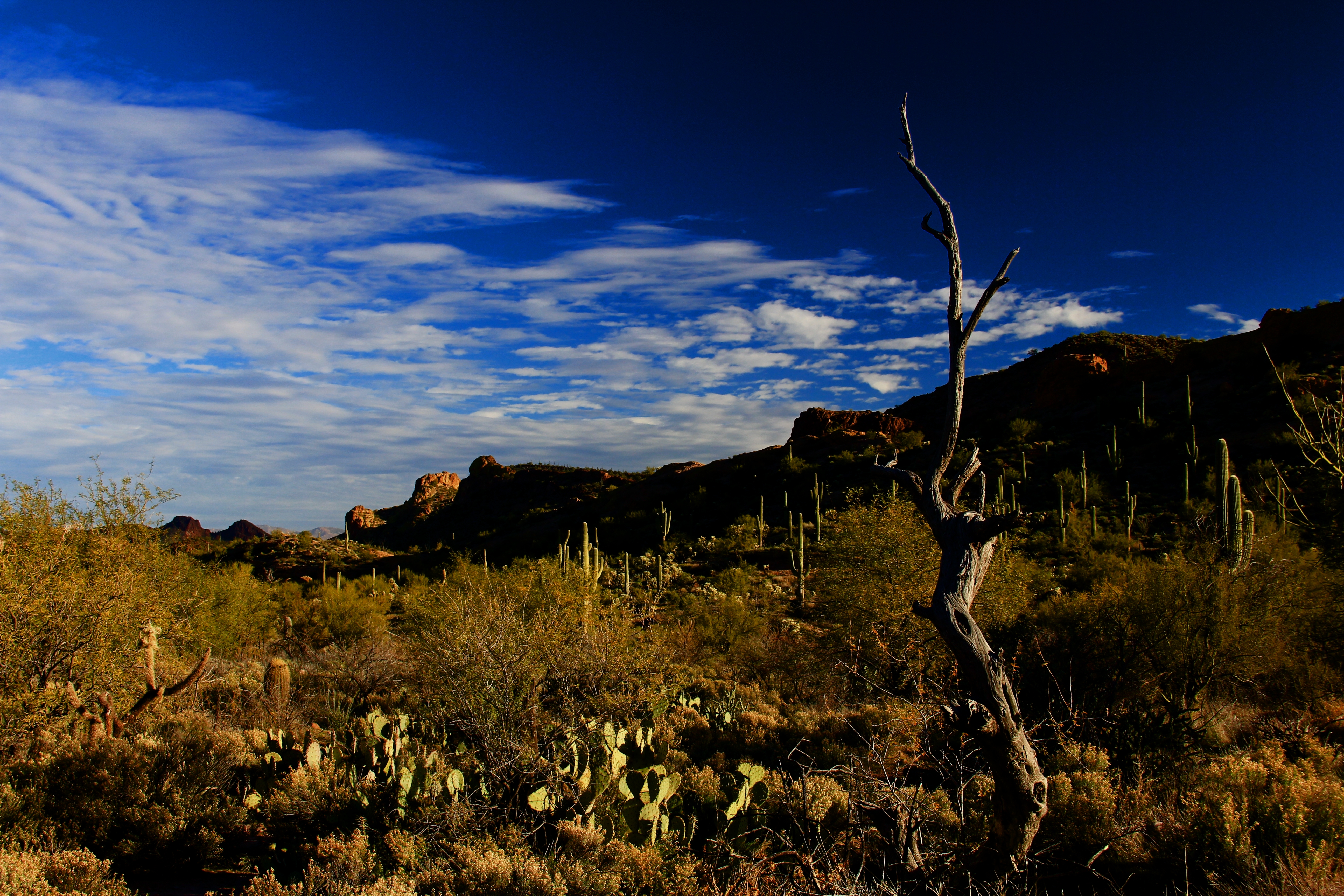
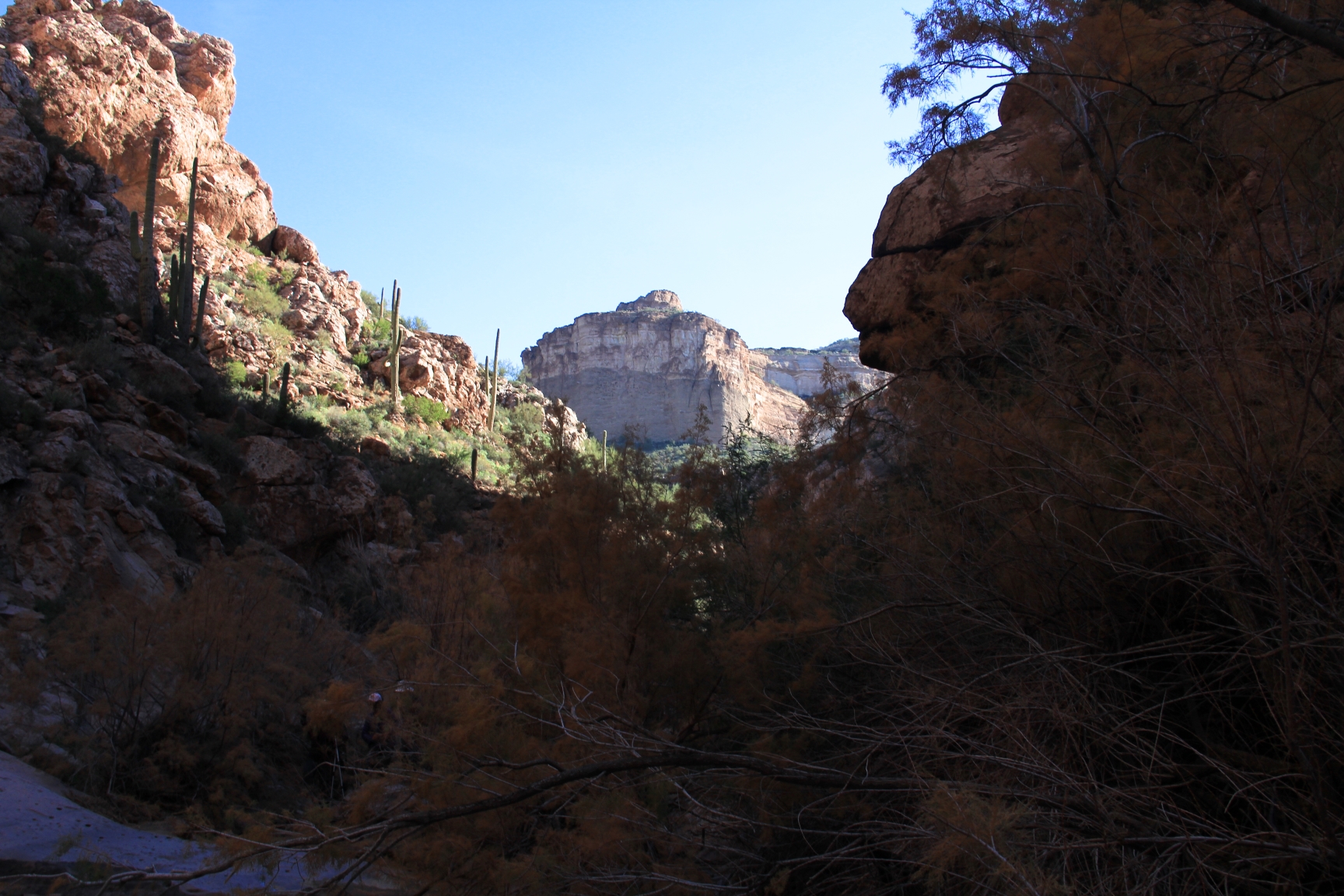
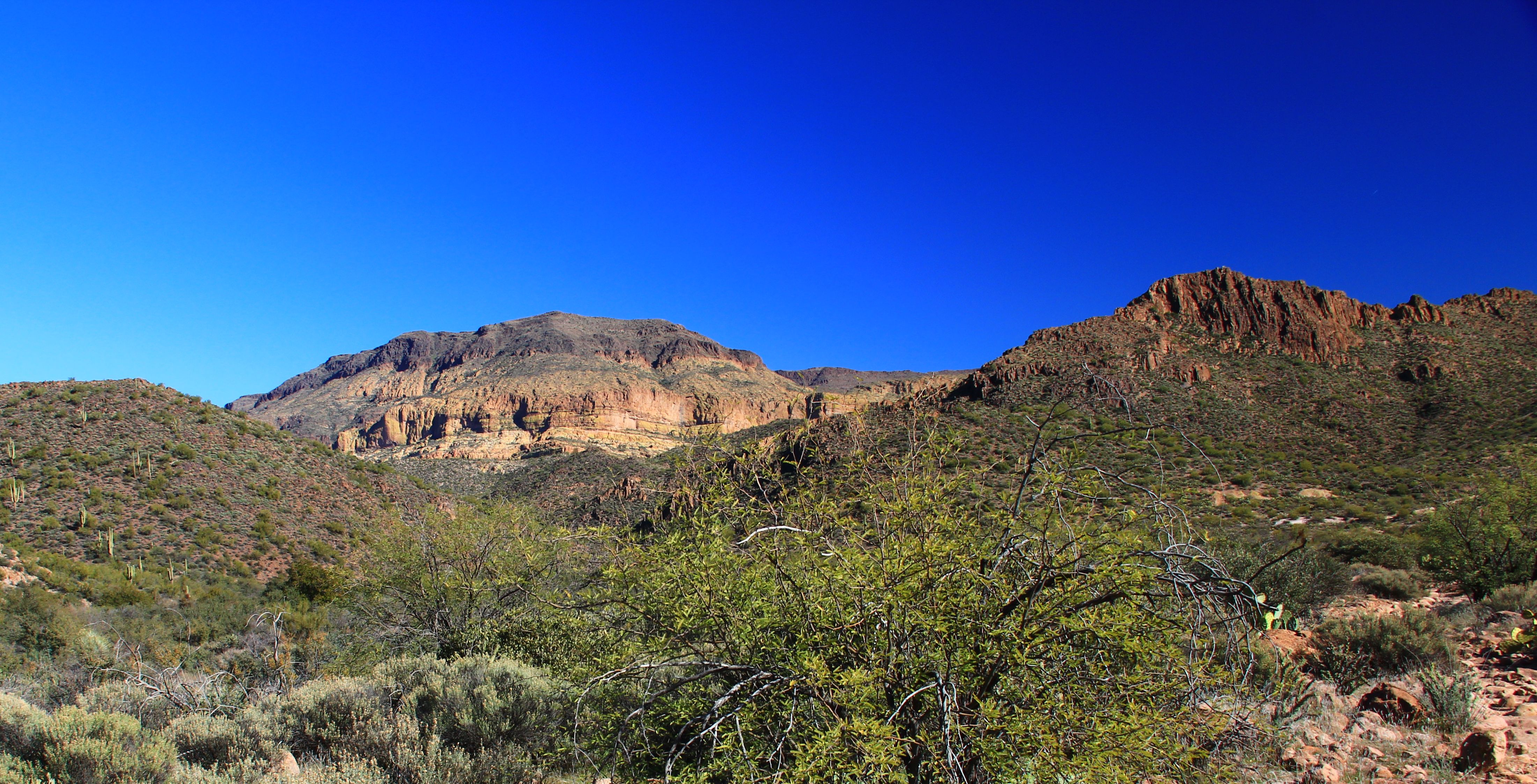
Before heading back down we wandered around the rim of the plateau admiring the views.

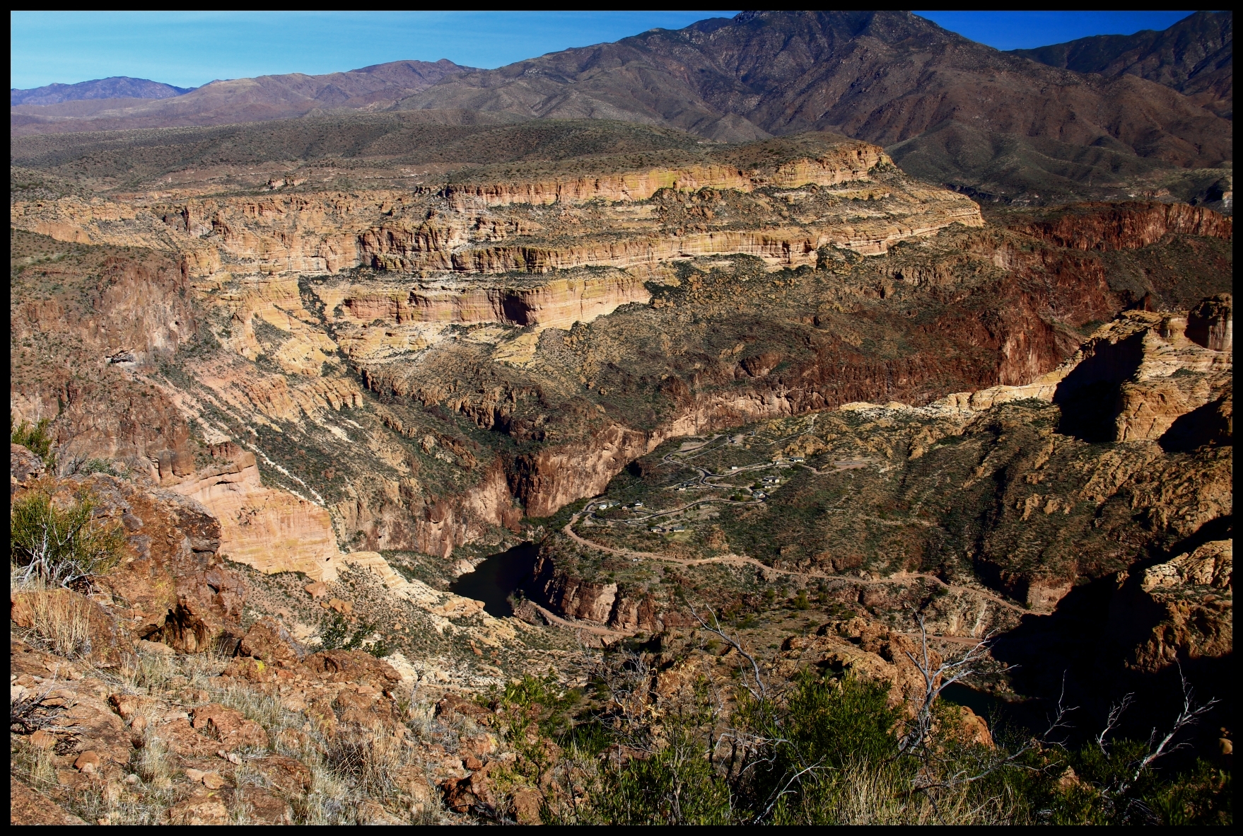
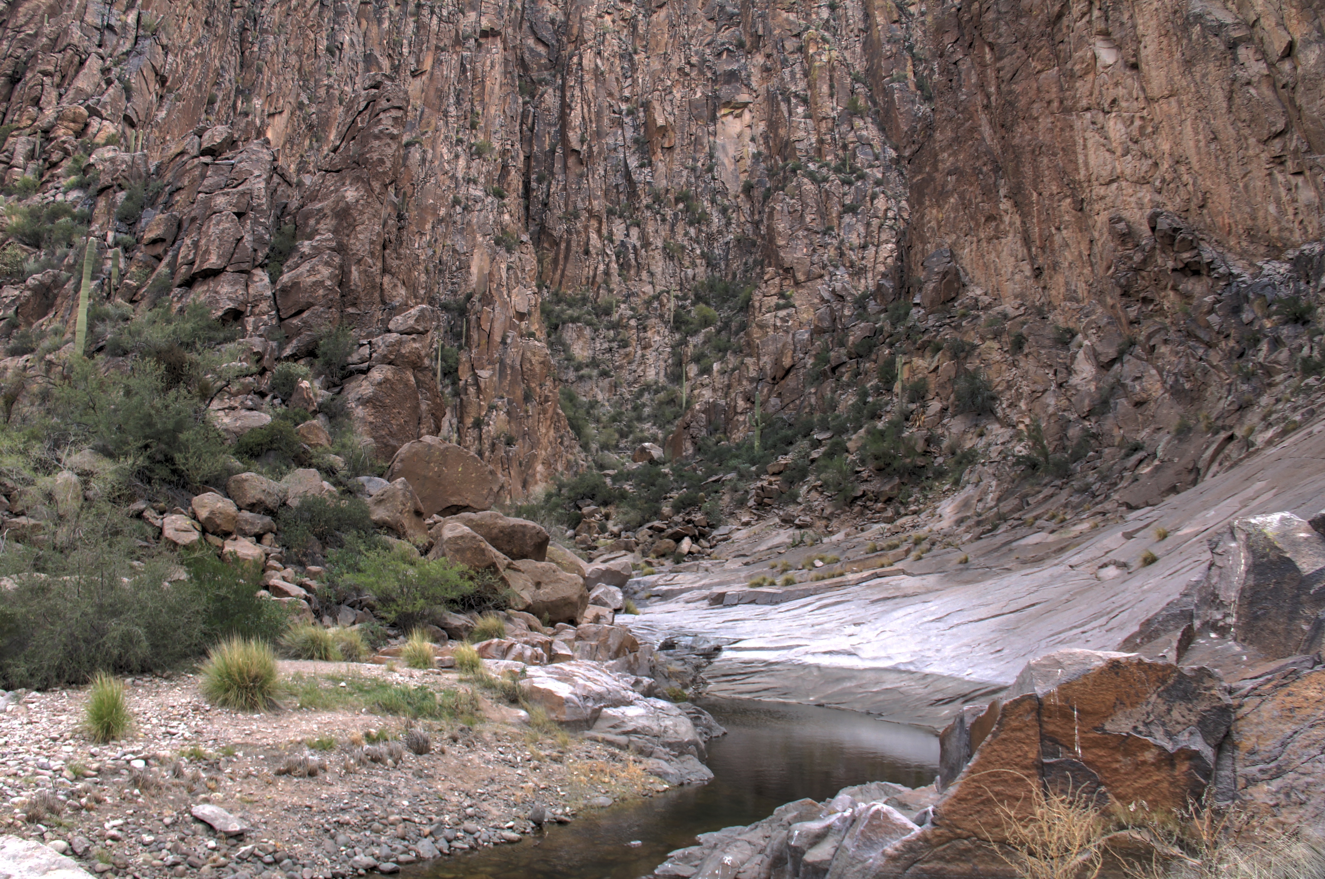
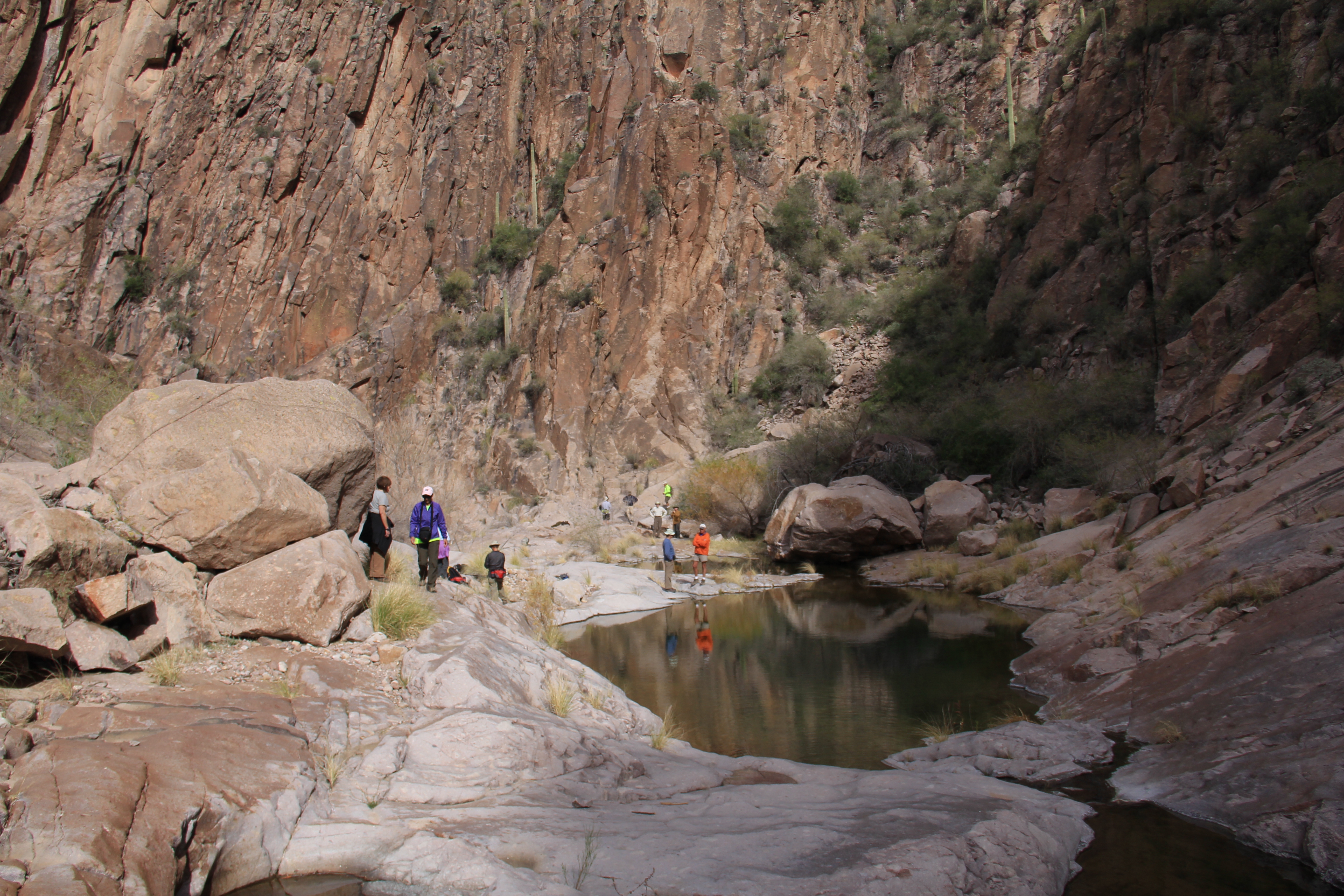
In the scene below the foreground is Fish Creek Canyon at the point that it enters the Salt River Canyon.  This is where our “downhill hike” companions will lunch and turn back to the cars.

Upstream on the Salt (out of view towards middle right of the photo) is Horse Mesa Dam which forms Apache Lake.  Lower center of the photo you can see a cluster of homes for the workers who take care of the dam.  It’s a long drive over twisty cliffside roads to the corner store for a loaf of bread!

5

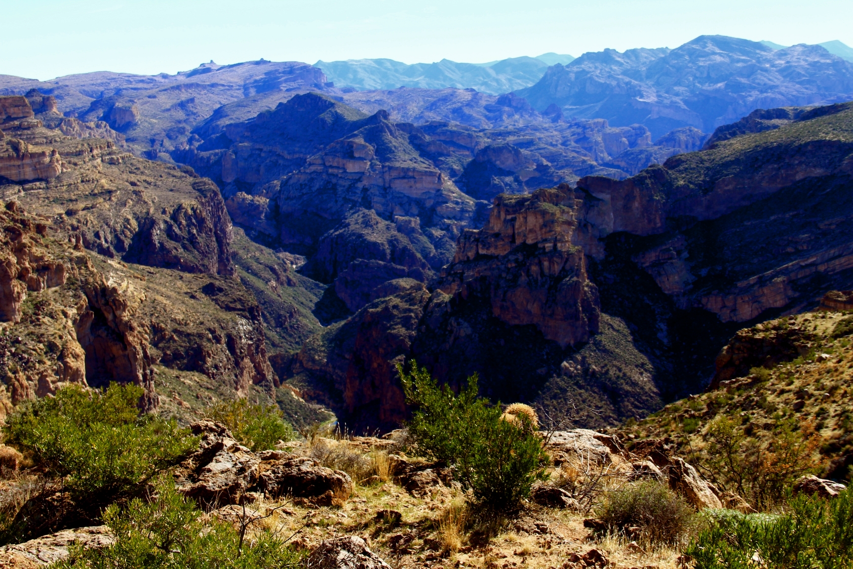
Here are some more views from our lofty lunch perch down into the surrounding wilderness.

6

7

8

9

Posted in Arizona hiking | 4 Comments

LaBarge Narrows — Under different light


This hike seemed easier to me this year than last.  Eleven miles and 1,800 feet of elevation gain (accumulated) is a challenge, but the weather was nice in the 60’s with good breezes, and hazy overcast for good light conditions. The hike starts from First Water trailhead (a familiar place for us this year, it seems!) and follows Second Water trail eastward to Boulder Canyon.  The scenes as you descend into that canyon are spectacular under any light, even clouds! 01 At the end of Second Water trail, the route turns south on Boulder Canyon trail.  The canyon comes by its’ name honestly!  The trail boulder-hop-crosses the creek 11 times.  Last year all crossings were over flowing water, this year only a couple crossings were wet.  It’s a dry winter in the Superstitions. 02 After a trek up canyon (2 miles of so?) we abandon the established trails and follow a faint and gnarly “use” path up and over a saddle on Battleship Mountain.  This is the toughest link in the route (and you have to do it both directions) because of the steep grade and inconsistent footing.  Wild country! One the way up over the pass there was a recent rockfall off to our right.  Below is a “zoomed” shot showing the fresh break in the cliff and debris below. 03 Topping the saddle, you begin the descent into LaBarge Canyon.  The view below is looking “down canyon” as it opens on it’s path northward towards the Salt River. 1 Our destination is “up canyon”.  In the photo below note the dark basalt rock in the right of the scene.  That is the core of an ancient volcano, and the “narrows” is a narrow slot canyon which pierces that formation.  Lacking 3D capabilities, it’s not easy to see in this shot. 13 When you reach the canyon floor the Narrows is to your right.  The floor of the slot is smooth, almost polished in appearance, the result of millenniums of water flow which carved this path, and the walls are 4-500 foot cliffs of jagged basalt. 2Huge boulders choke the canyon upstream, many the size of large buildings. 5 8 6 10 11 15One can’t help wonder at the changes that this monolithic head has observed over the eons it has sat deep in this canyon. 9

Posted in Arizona hiking | 6 Comments

Hackberry Springs Loop


I was surprised that I can’t find a previous description of this hike in my blog.

It’s a fun hike, about 5 or 6 miles, over easy ground starting from the First Water trailhead.  The first segment of the trail is the familiar trek up to Garden Valley to the ruins at the Black Mesa trail junction.  The remainder of the loop is on “un-named” trail going north across Garden Valley, then dropping into a canyon and proceeding westward to the area of the spring.  It is situated near a narrow slot canyon cut by a creek, and that area is lush with trees and grass.

Overall you get a wide variety of scenery including gorgeous cliffs, the meadow-like environment of Garden Valley, a narrow canyon, and a lot of “long horizon” views of the interior of the the Superstitions.

Today we were blessed by “photographer friendly” skies, broken and hazy clouds, which always seems to add a special touch to the “look and feel” of the beautiful Superstitions.

Enjoy the pictures!


8 10 9 7 6 5 4 3 2

Posted in Arizona hiking | 5 Comments

Bluff Springs Loop


This is an aggressive hike, about 9 miles, which always draws a good attendance.  The route (see my description for January last year) is a mix of a long lazy flat stroll along the front of the Superstitions, then a leg stretching ascent around behind Miners Needle, then great views of the interior, Weavers Needle, Barks Canyon, Peralta Canyon, and finally a long-horizon view of Barkley Basin as you descend “Cardiac Hill”.

Here are some scenes from our hike over this route on Friday.

Leaving the trailhead you get a good view up Peralta Canyon in your rear-view mirror.

1


Here (below) the front of the Superstion range stretches eastward.  Miners needle is the prominent peak right of the photo center.


2


An old saguaro seems to hold it’s arms in surrender.


4


Here is the eye of Miners Needle, and a plane flies over the moon.

5


I was told that if you squint just right, this is a baby elephant.


6


The obligatory view of Weavers Needle!


7


Visit my gallery at http://Hans-Brakob.artistwebsites.com


Posted in Arizona hiking | 2 Comments

Arnett Canyon


Thirty-nine souls followed me on this hike last Wednesday, Jan 15th.  This is the same hike that George, Mark, and I did on New Years Eve (see earlier post “Canyon at the End of the Year”) Normally I wouldn’t have written about such a recent hike a second time, but I was experimenting with a new (to me) technique for photographing in canyon bottoms and similar highly shaded environments.  The technique, called HDR (High Dynamic Range) processing, compares multiple exposures of the same scene at a number of different exposure levels and builds a “melded” copy which evens out the shadows and the bright areas to provide a more natural looking image. The scenes below were shot with that technique.   The sequence starts as we entered the canyon from the desert with Picketpost in the distance, and ends with a view of the north face of Picketpost Mountain where we turned around.

1   2   3   4   5   6   7   8

Visit my gallery at http://Hans-Brakob.artistwebsites.com

Posted in Arizona hiking | 2 Comments

Shall we gather at the river?


Yesterday, Friday, the hike was planned as a combination long distance hike (10+ miles), or you could shorten it by turning around when you ran out of scenery.   It turned out to be ideal for either hiking style.

The route starts at the “Battleaxe Road” ad hoc trailhead which we’ve also used for the Walnut Canyon hike a couple years ago.  From the parking spot you walk about a third of a mile to where a streambed crosses the jeep road.

Take a left into the stream bed and go as far as you like.  Eventually you’ll reach the Gila river (after about 5 miles).

The first 3 miles are “John Wayne” style cliff and canyon country!

Even before you follow the stream bed into the canyons the surroundings are photogenic cliffs right out of the movies!

Gila Canyons 003b


Gila Canyons 012b


Making the turn south into the stream bed, you are immediately in a series of twisting canyons which stretch for about 3 miles “downstream”.  The route loses very little elevation promising a nice non-strenuous walk back “upstream”, but this is NOT a prepared trail, so the going is slow in some areas as you work your way over the usual debris left by canyon floods over the centuries.

Gila Canyons 019b


Here are some of the scenes along the canyon segment of the hike.

Gila Canyons 047b


Gila Canyons 038b


Gila Canyons 155a


Gila Canyons 132a


Gila Canyons 168a


I kinda like the shot below.  In the canyon floors there were occasional pools of water.  The grey objects seen are rocks surrounding a pool, and the center of the photo is the water surface reflecting the walls of the canyon.


Gila Canyons 130b


After about three miles you’ve worked your way through the canyons, and are in a more open desert environment, not nearly as scenic, but easier walking.  Most of the group continued all the way down to the Gila river, but a few of us went only about a mile further before working our way back up through the canyons to our vehicles.

Gila Canyons 064b


In this area we saw a baby javelina tracking down his mom who was lurking in the brush nearby.  They were reunited, and streaked off into the scrub.

Gila Canyons 078b


Overall this is a great hike if you want a moderate length (6 mile) hike in gorgeous scenery, or if you want to stretch your legs over a longer distance with little elevation change on either.  Thanks, George.  Another winner.


Posted in Arizona hiking | 2 Comments

Box Canyon Loop


Wednesday (Jan 7th) we had a great turnout for another trek of the Box Canyon loop.  This is a hike of dramatic contrasts of shadowed canyon floors and sun raked cliffs and canyon walls.  That’s what make it beautiful, and also what makes it very difficult to photograph “on the fly”. To properly capture these striking displays of shadow and light would require a tripod and HDR.

Here are a few exposures which only hint at the scenes in this canyon environment.

BoxCanyonLoop 037a


BoxCanyonLoop 099a


BoxCanyonLoop 047a


BoxCanyonLoop 057a


Bryan and Marita pose at a spot in the slot canyon which comprises the return leg of the loop.  In some spots this canyon is just a few yards wide with sheer vertical cliffs on each side.


BoxCanyonLoop 097a


Some have seen mountain sheep on this hike before, but this time the only critter seen was this eight-legged fellow who shared the trail with us.

BoxCanyonLoop 079a

Posted in Arizona hiking | 3 Comments

Canyon at the End of the Year


Arnett Canyon Hike isn’t an “official” hike that I could find on any of the usual hiking sites on the internet, but mark it down as gorgeous!

Lacking a Wednesday hike this week, and having a meeting on Friday which interferes with the regular club hike, I accepted an invitation from George to go along on a trek that he’d explored earlier.  Mark rounded out our little company.

Mark and George

Arnett Canyon is a beautiful canyon which starts inconspicuously in the desert a few miles south of Superior and works it’s way below the eastern flanks of Picketpost Mountain, finally joining Queen creek near the Picketpost trailhead.

Arnett Canyon

We hiked into the canyon just under 3 miles (starting from the red X), then returned the same way.  The hike was very easy, there is almost no elevation change (the map shows less than 200 feet) over the entire route.  (Note:  I drew in that blue line to show you Telegraph Canyon where Mark tried to lead us into Fug-Ah-Wee country on the way back to the car.

Before you work your way into the canyon, PicketPost mountain is the dominant landmark ahead of you.

PicketPost

The hike basically follows game trails on the floor of the canyon, and we saw a lot more deer tracks than people tracks.  Arnett Creek contained a fair amount of water all along the canyon, and the presence of water provides a lush environment of trees, grass, and mesquite.  This is counterbalanced by the arid slopes which are populated by saguaro and other desert plants.

Happy New Year, enjoy the scenes below, and consider this hike as the “easy alternative” next time the ambitious people tackle PicketPost.

Gap in horizon

Green Agave

water

pano

More Yellow Yet

Orange

Silver

Posted in Arizona hiking | 1 Comment

2013 in review


The WordPress.com stats helper monkeys prepared a 2013 annual report for this blog.

Here’s an excerpt:

A New York City subway train holds 1,200 people. This blog was viewed about 6,600 times in 2013. If it were a NYC subway train, it would take about 6 trips to carry that many people.

Click here to see the complete report.

Posted in Arizona hiking | Leave a comment

Black Butte Loop, Yet Again!


I love this hike (there are about 3 previous writeups, so not a lot of description here), even though it’s sort of long (9 miles).  The attraction is the constant change of scenery.  Jagged sandstone cliffs, long horizons, and knowing you are treading in the tracks of the Peraltas, the Apaches, Jacob Walz (of “Lost Dutchman” fame), and who knows….

Since I first introduced this hike to the club a few years back it has sometimes been called  “Hans’ Death March”, so I keep leading it every year to dilute that name.  Today was a perfect day for hiking, so even though I did a tough hike yesterday, I led it again today.  Nobody was heard to complain.  Maybe the the stigma is finally lifted.

This view of Four Peaks is a little surreal in the morning haze.

Four Peak

Remember the 3 dufus treasure hunters from Colorado who perished a couple of hot summers back, hunting for the Dutchmans’ gold?  Their carcasses were found many months later on Yellow Mountain, the formation on the left in the photo below. (I included a sneak view of the Needle because Dana loves to see it in my pictures.)

Yellow mountain

For your enjoyment, I’ll close with a few shots of the striking sandstone formations in this area.  Enjoy!

Sandstone1 sandstone2 Sandstone3

Posted in Arizona hiking | 2 Comments